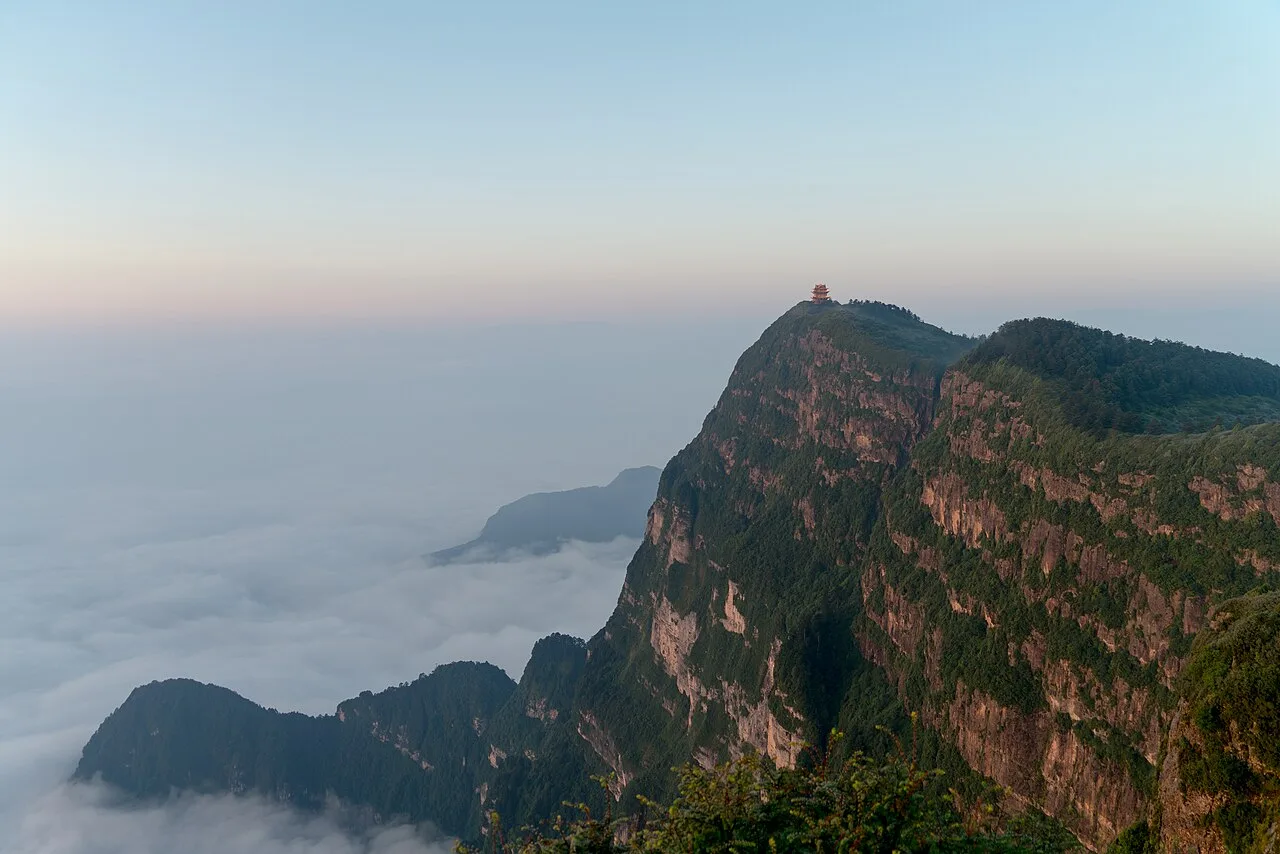
峨眉山风景区 Mount Emei Scenic Area 07
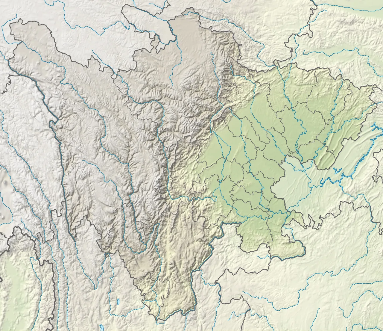
Mount Emei is located in Sichuan
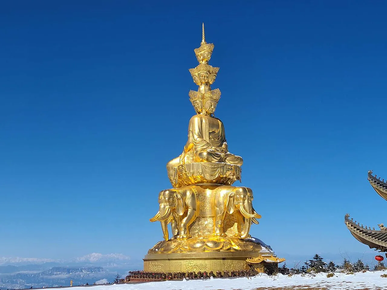
Statue of Bodhisattva of Pu Xian
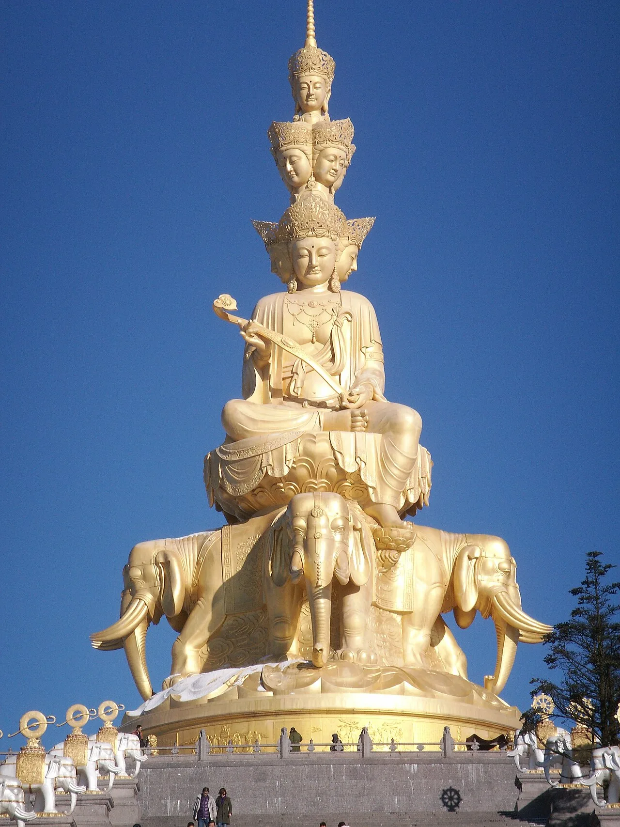
Massive statue of Samantabhadra at the summit of Mount Emei
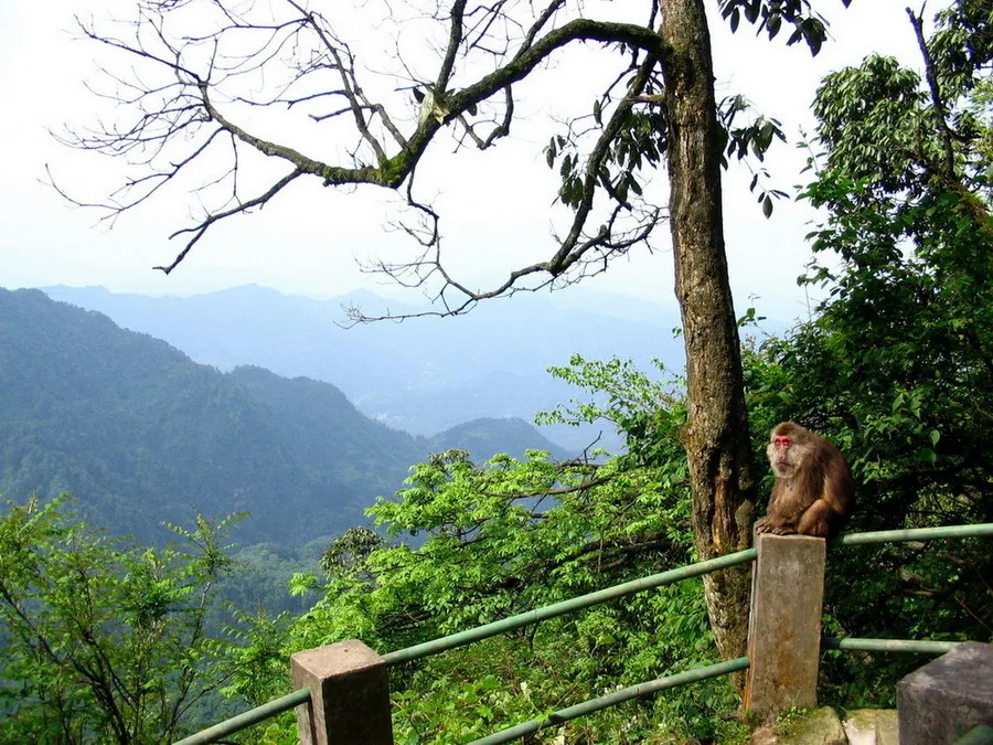
Macaque indigenous to the region
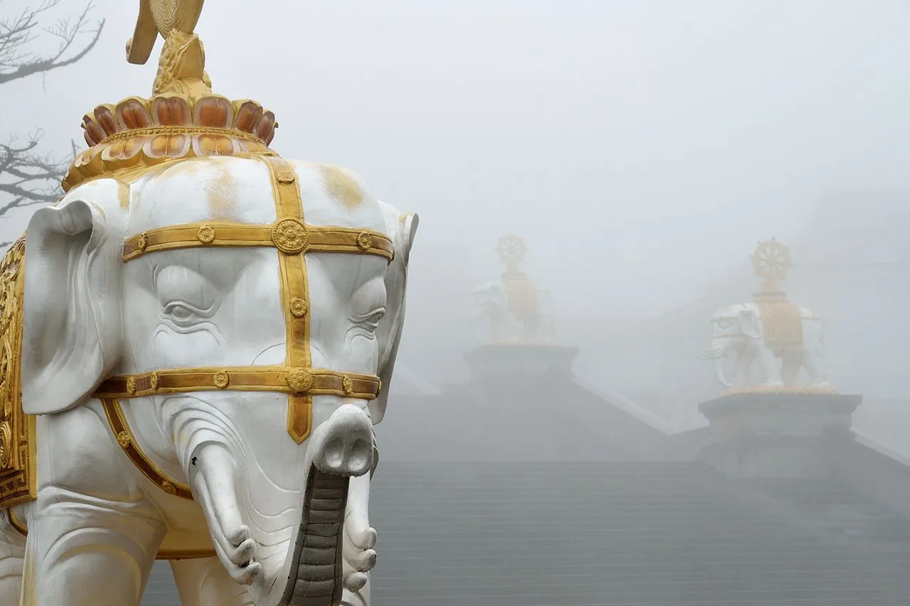
Elephant statues on the steps leading to the statue of Samantabhadra
Mount Emei
Mount Emei, alternatively Mount Omei, is a mountain in Sichuan Province, China, and is the highest of the Four Sacred Buddhist Mountains of China.
The Eruption That Built a Sanctuary
Many visitors see a peaceful Buddhist sanctuary, but the mountain's foundation is a relic of catastrophic volcanic activity. The Emeishan Traps eruptions during the Permian Period created a large igneous province that spans the surrounding countryside. This ancient geology predates the human rituals that now define the mountain, a quiet inversion of the assumption that sacred sites are spiritually rather than geologically forged.
From Wikipedia · CC BY-SA 4.0
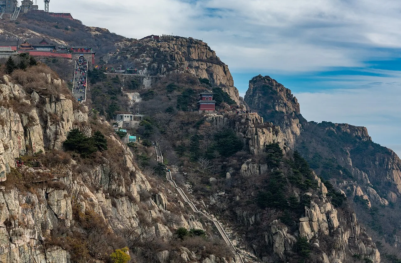
50304-Taishan (49055660366)
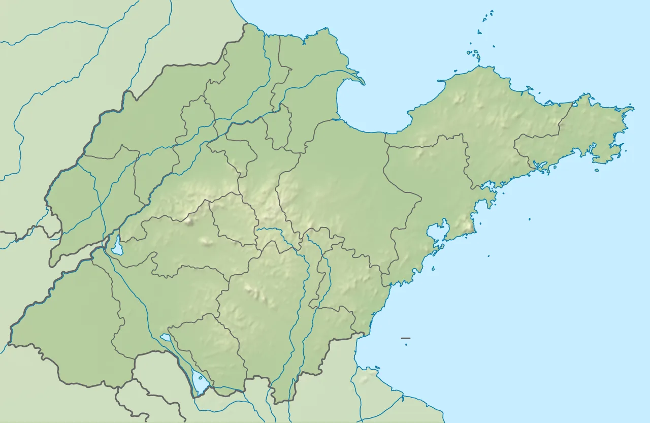
Mount Tai is located in Shandong
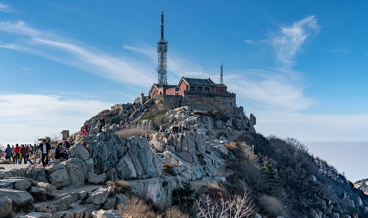
Jade Emperor Peak, the summit of Mount Tai
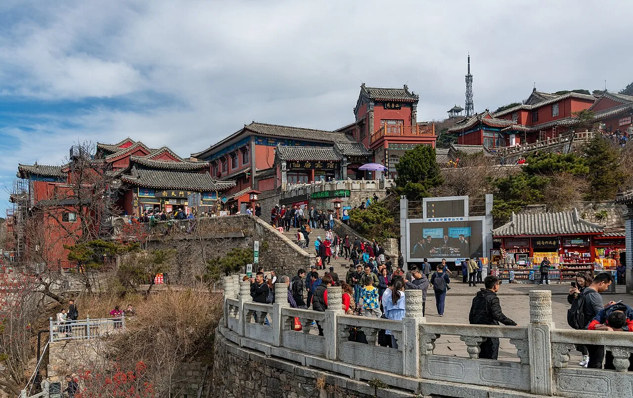
Temple complex at the top of Mount Tai
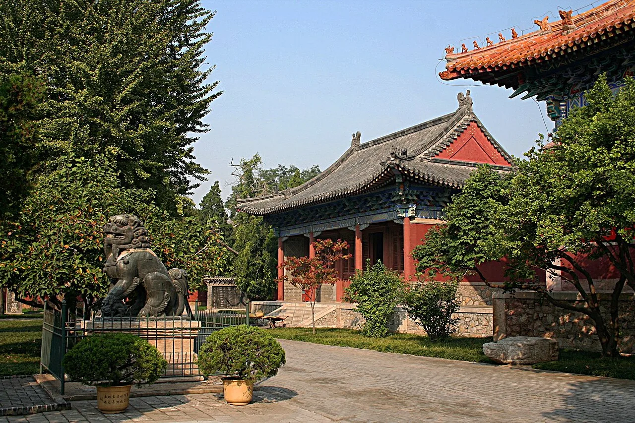
Dai Temple at Mount Tai
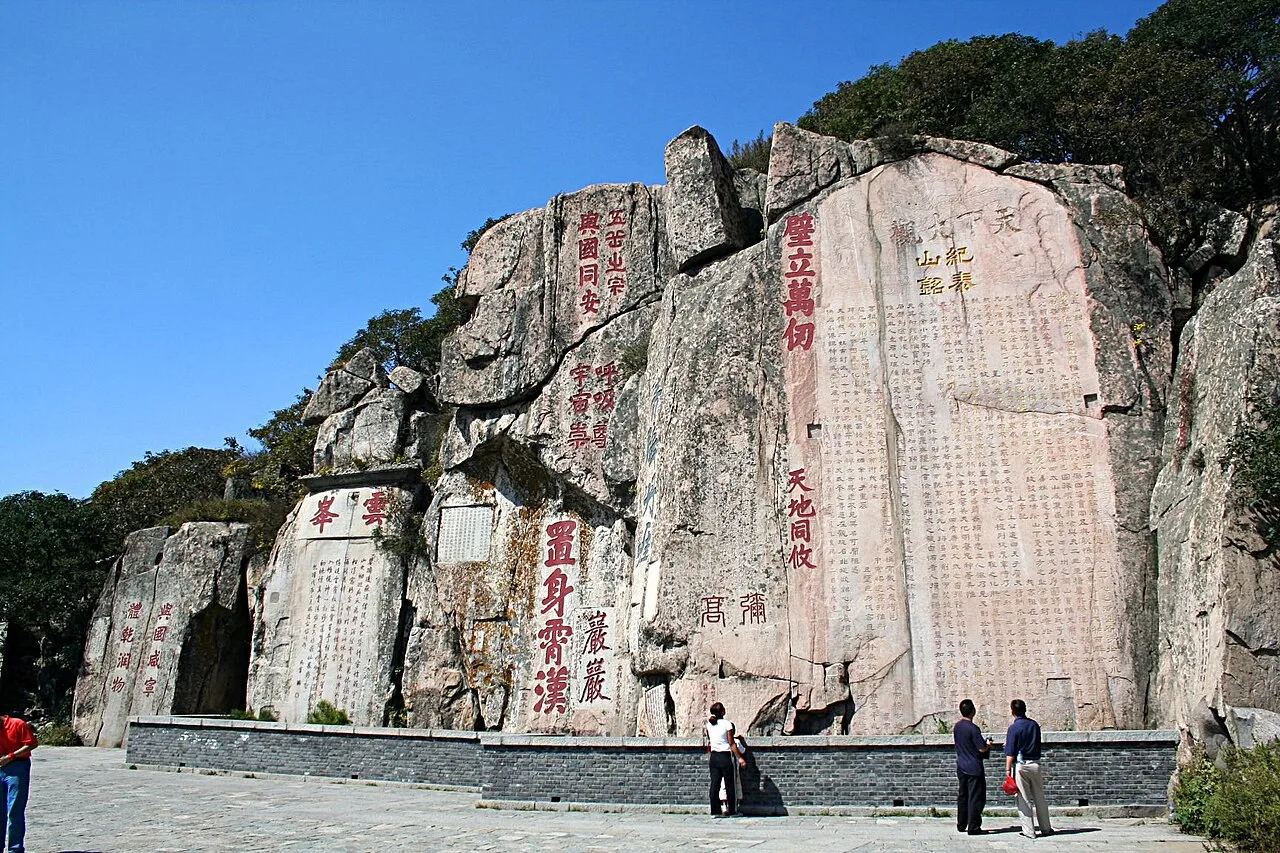
Rock inscriptions at Mount Tai
Mount Tai
Mount Tai is a mountain of historical and cultural significance located north of the city of Tai'an. It is the highest point in Shandong province, China.
A Mountain That Drowned and Rose Again
Mount Tai's current form conceals a history of submergence and rebirth. It sank into the sea around 600 million years ago, then rose again after 100 million years. This geological seesaw inverts the assumption that mountains are ancient, static fixtures—they can drown and resurface over eons.
From Wikipedia · CC BY-SA 4.0
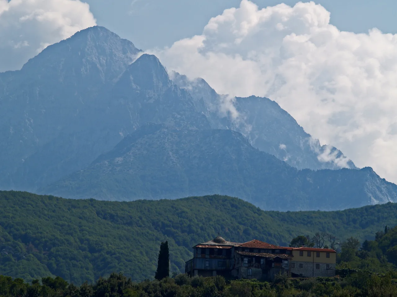
Mt. Athos (3939757657)
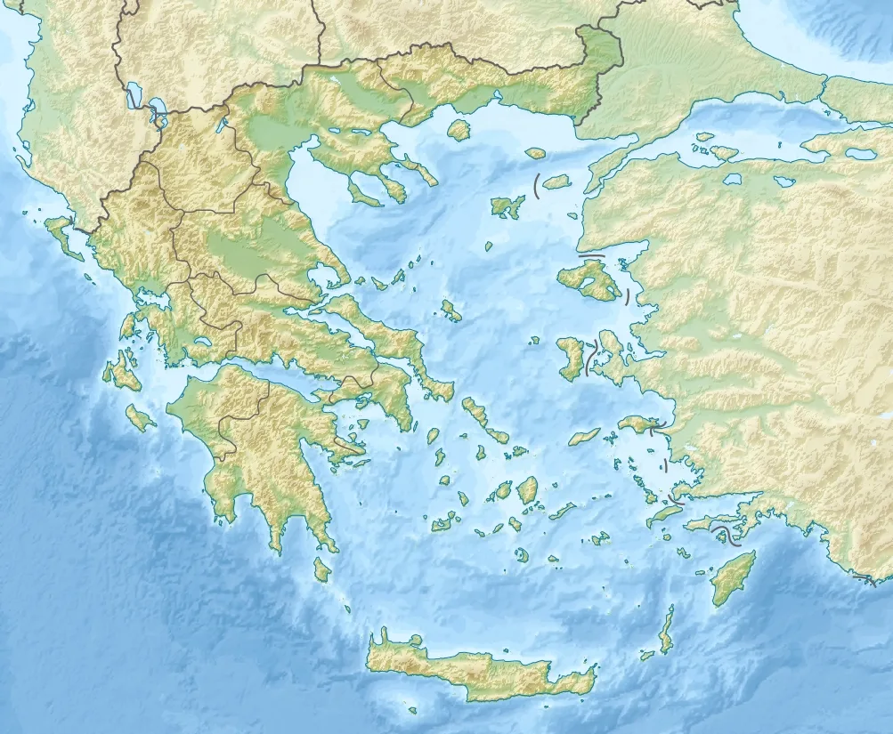
Mount Athos is located in Greece
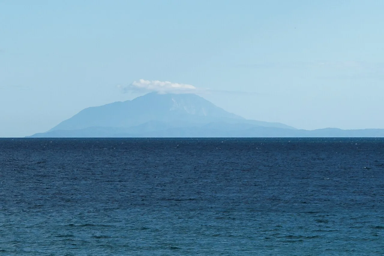
Mount Athos seen from the northwest
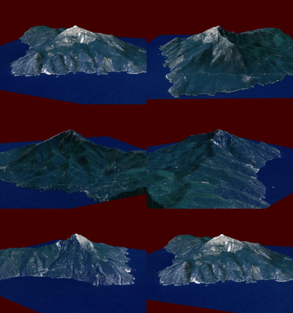
A 3D model of Athos
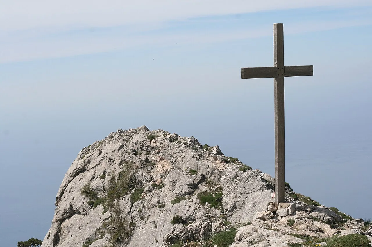
A cross on Athos Peak

Refectory in a Greek Monastery, Mount Athos, by Théodore Jacques Ralli, 1885
Mount Athos
Mount Athos is a mountain on the Athos peninsula in northeastern Greece directly on the Aegean Sea. It is an important center of Eastern Orthodox monasticism.
Shipwreck Graveyard of Ancient Navies
The waters surrounding the Athos peninsula earned a lethal reputation in antiquity by destroying entire military fleets attempting to round its coast. Herodotus recorded that Persian king Darius lost 300 ships under general Mardonius in 492 BC. Decades later in 411 BC, the Spartans suffered a similar naval catastrophe, losing 50 ships under admiral Epicleas in the same treacherous coastal waters.
From Wikipedia · CC BY-SA 4.0
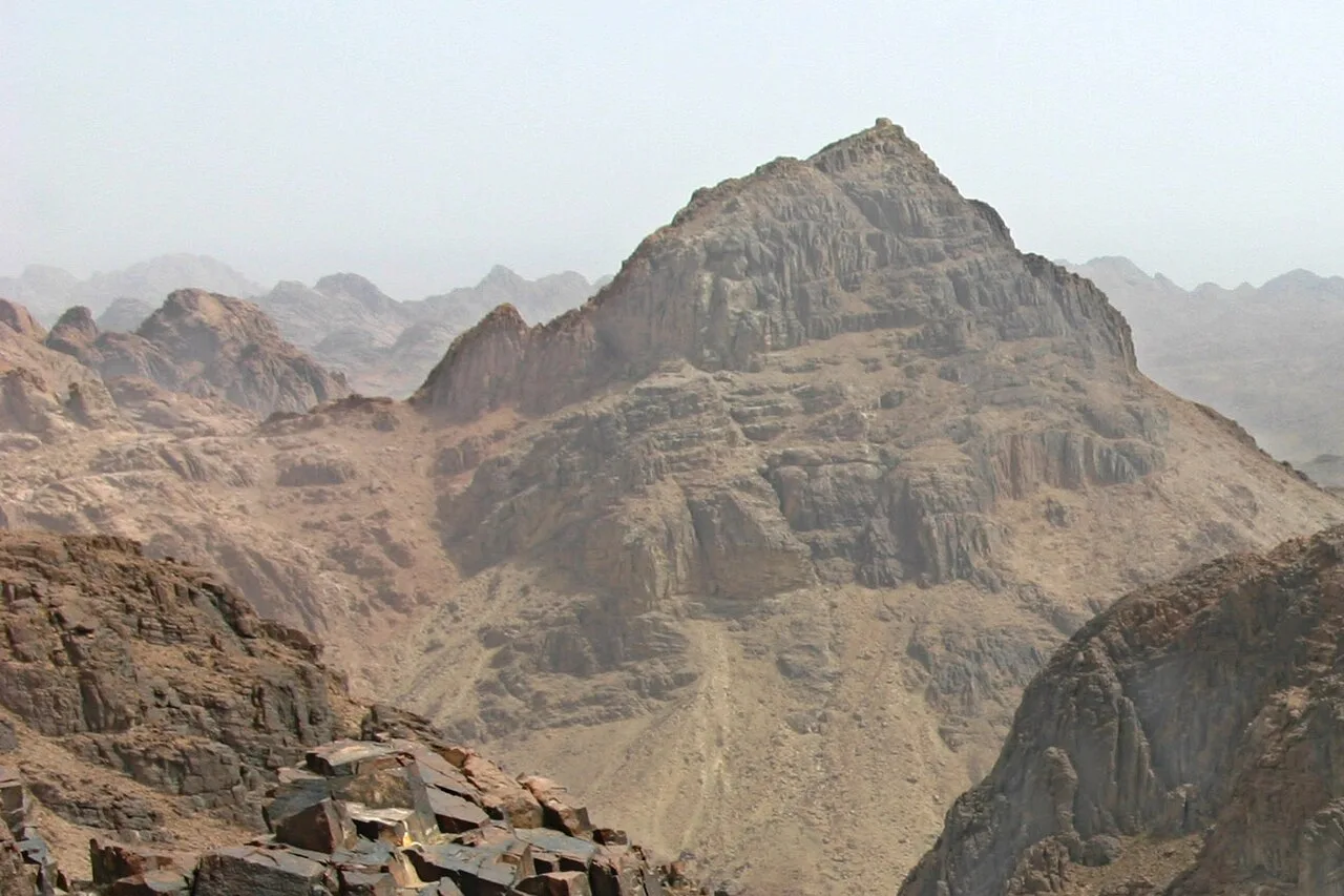
Mount Sinai from the southwest
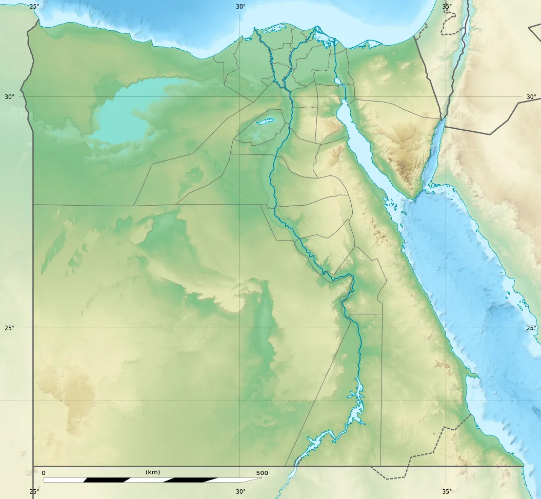
Mount Sinai is located in Egypt
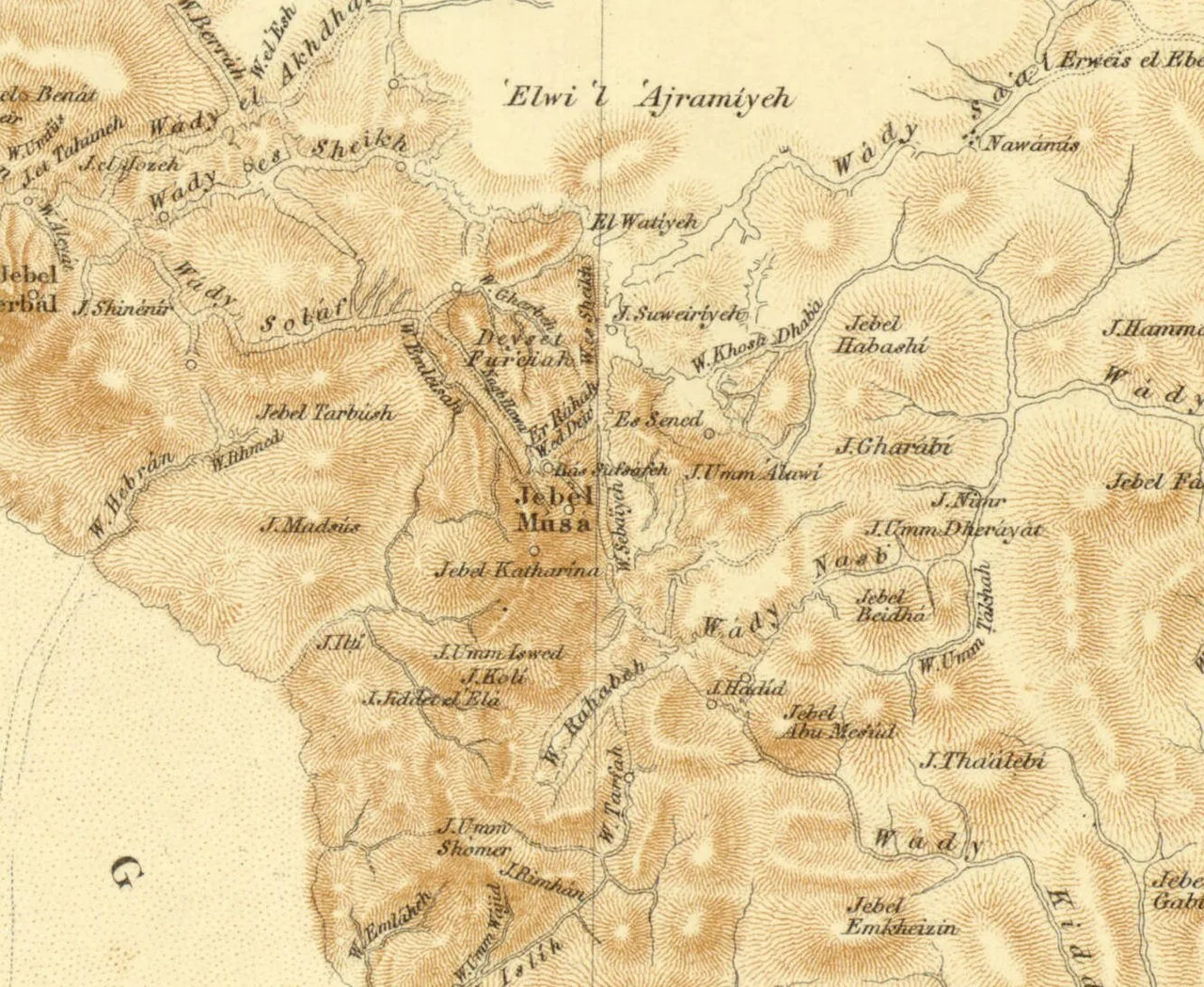
Jebel Musa in the 1869 Ordnance Survey of the Peninsula of Sinai, shown north of Mount Catherine (Jebel Katarina) and south of Willow Peak (Ras es-Safsafeh)
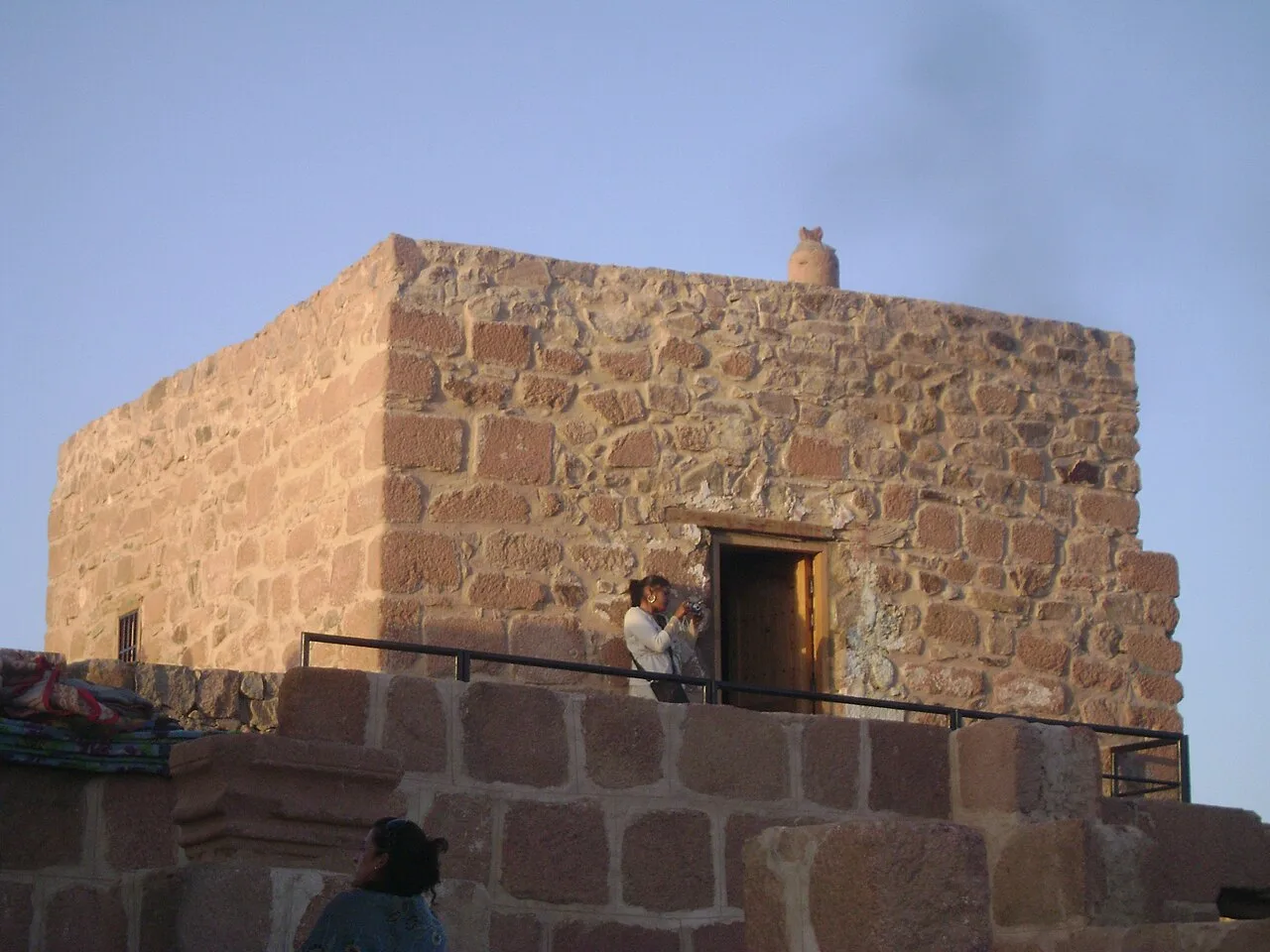
The mosque at the summit
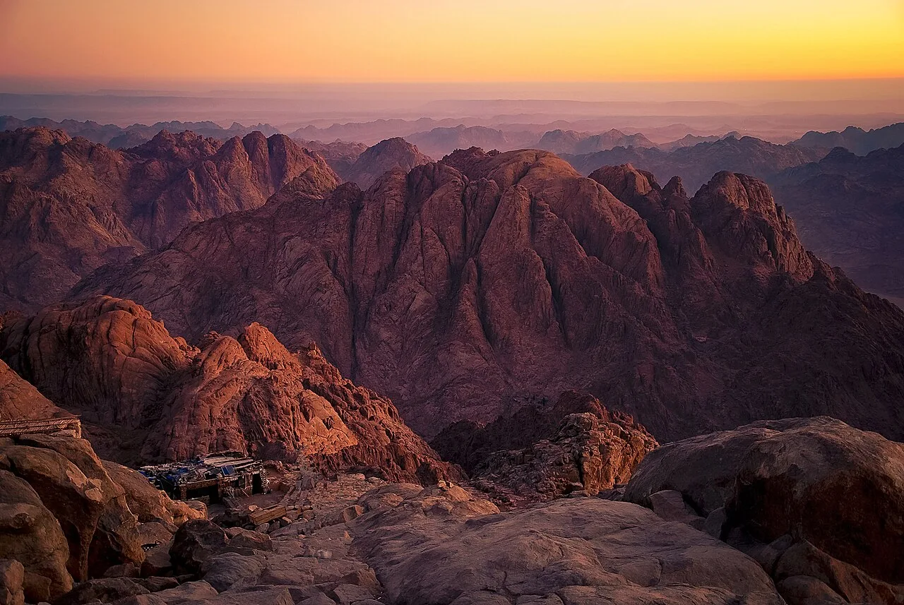
North-northeast view from the summit
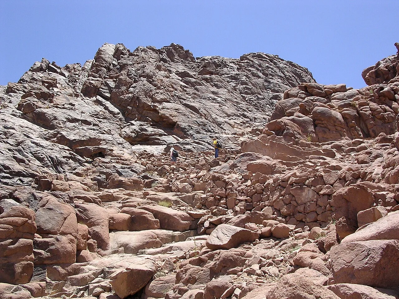
The last few meters of the climb up the mountain
Mount Sinai
Mount Sinai, also known as Jabal Musa, is a mountain on the Sinai Peninsula of Egypt and a site traditionally associated with the biblical Mount Sinai.
Surrounded and Overshadowed by Neighboring Peaks
Despite its immense global prominence, Mount Sinai is far from the highest point in its immediate range. Rising to 2,285 meters (7,497 ft) near the city of Saint Catherine, the peak is enclosed on all sides by taller mountains. It sits adjacent to Mount Catherine, which reaches 2,629 m (8,625 ft) to hold the distinction of being the highest peak in Egypt.
From Wikipedia · CC BY-SA 4.0
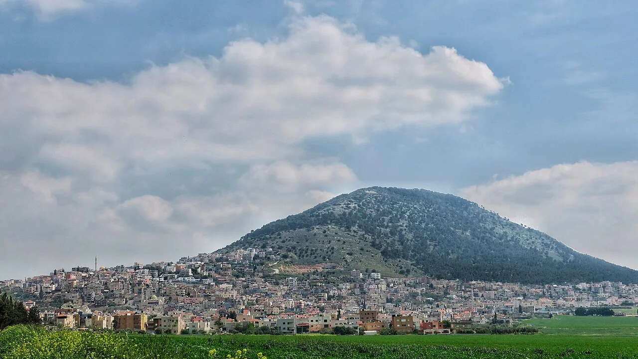
הר תבור במבט מדרום מערב
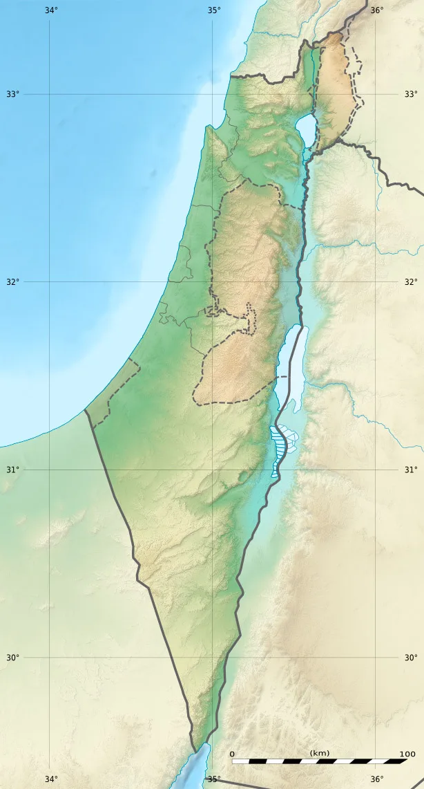
Mount Tabor is located in Israel
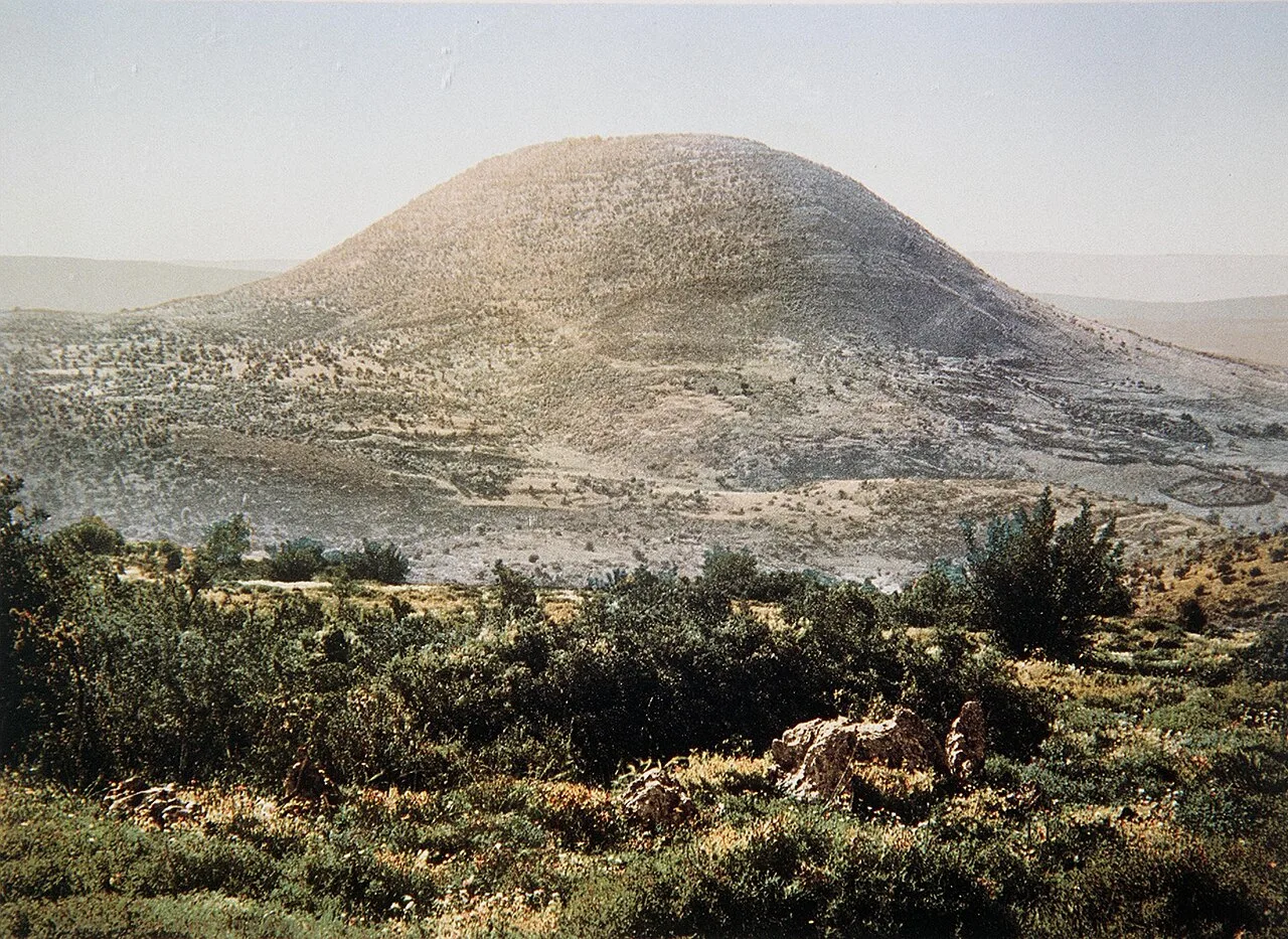
Mt. Tabor, 19th century
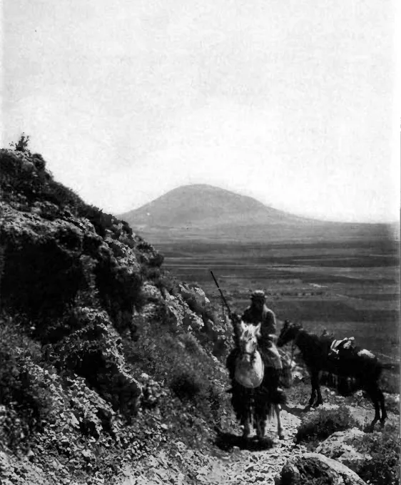
Mount Tabor, 1912
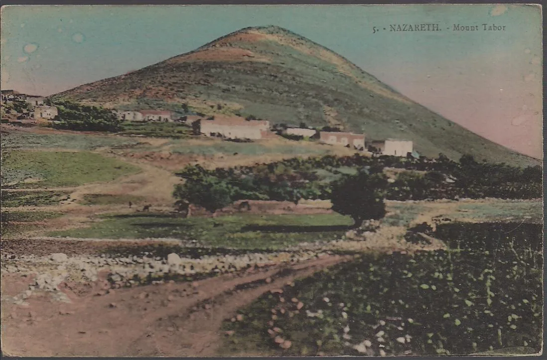
ca 1925 photo postcard, by Karimeh Abbud
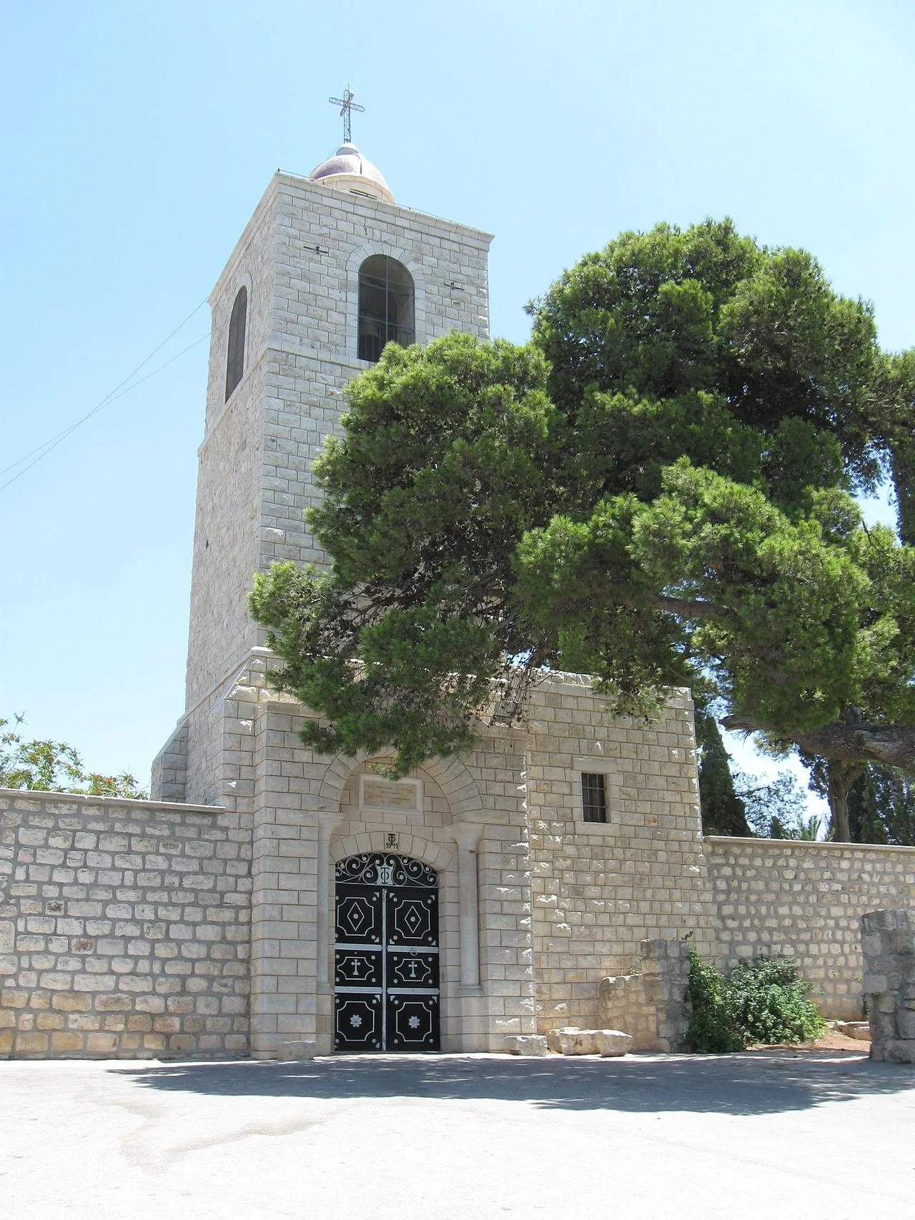
Bell tower of the Eastern Orthodox monastery.
Mount Tabor
Mount Tabor, sometimes spelled Mount Thabor, is a large hill of biblical significance in the Lower Galilee, Israel, located at the eastern end of the Jezreel Valley.
A Non-Volcanic Monadnock in the Plain
Rising abruptly above the surrounding flatlands to a height of 575 metres, Mount Tabor forms a distinct dome overlooking the town of Kfar Tavor. Despite standing in close proximity to the Nazareth mountain range, the peak does not share their volcanic origins. It is instead classified as a monadnock, an isolated formation left standing above the landscape.
From Wikipedia · CC BY-SA 4.0
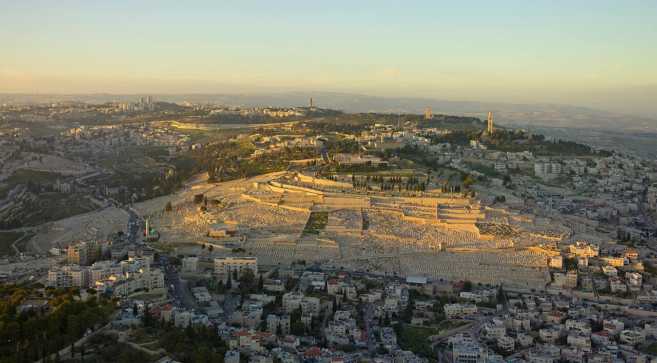
2013-Aerial-Mount of Olives
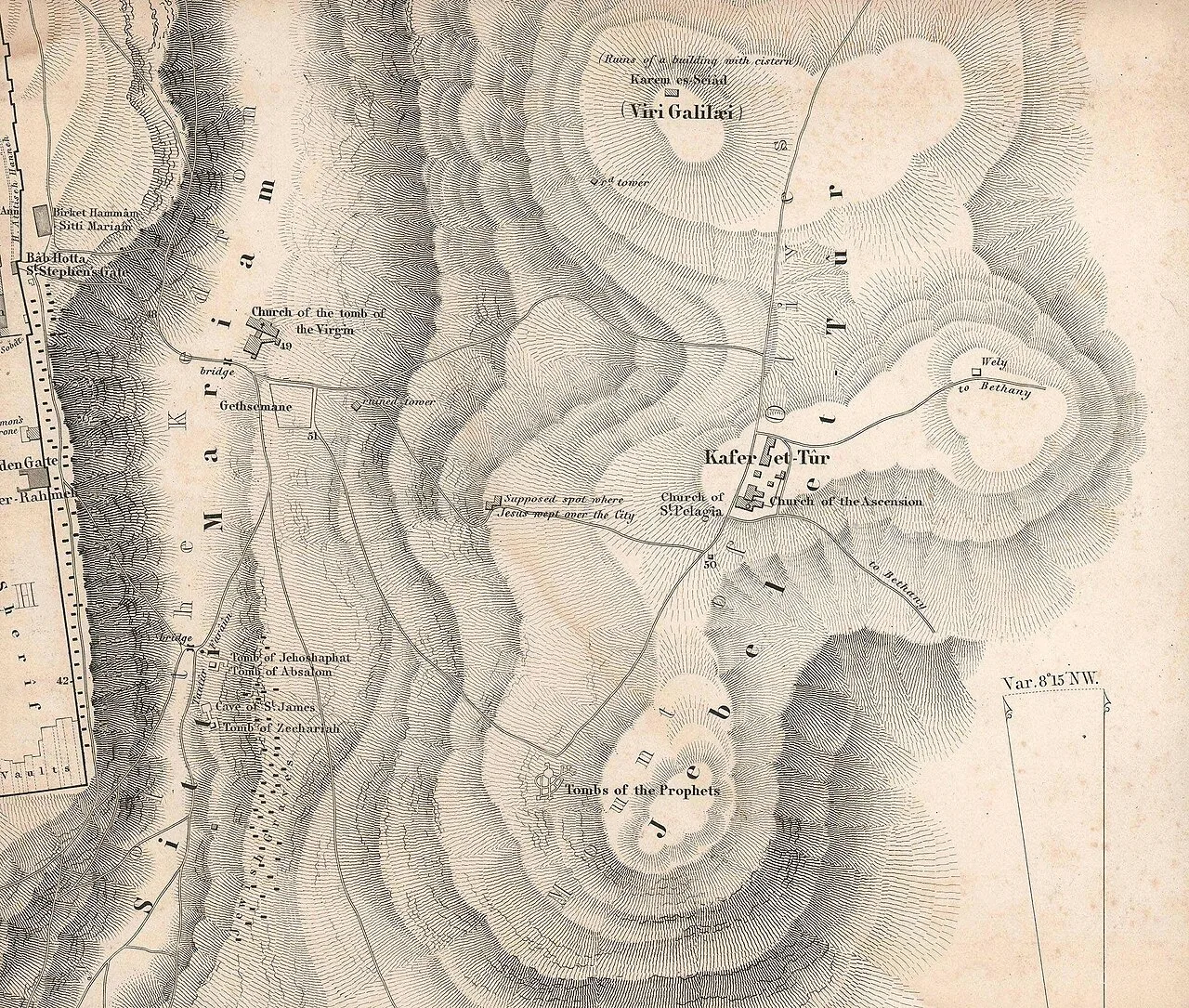
The mount in van de Velde's 1858 map. Two decades later, the Palestine Exploration Fund noted the principal places of interest on the mount, all of which are shown on this map: the Church of the Ascension, the Cave of St. Pelagia, the Tomb of the Virgin, Gethsemane, and the Grotto of the Agony, the shrine of Sheikh Selmân el Farsi, and the "so-called Tombs of the Prophets". The PEF also noted three buildings erected after the map was published: the Pater Noster Chapel, the Bethphage Chapel, and the "Russian House".[4]
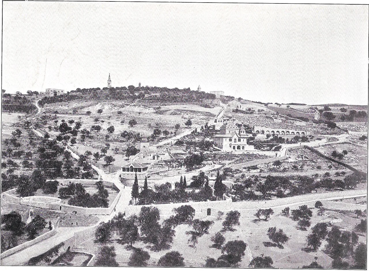
The Mount of Olives, c. 1899
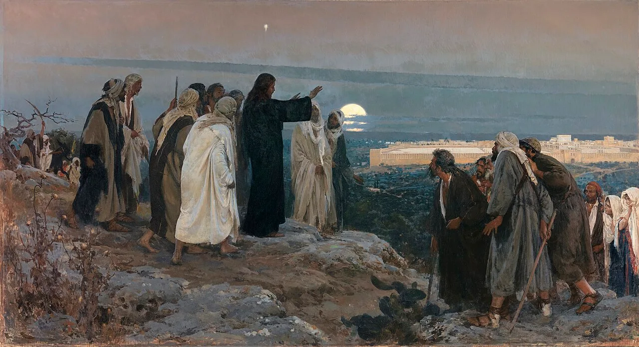
Flevit super illam (He wept over it); by Enrique Simonet, 1892
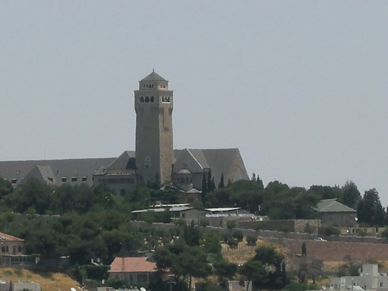
Augusta Victoria Hospital and its church
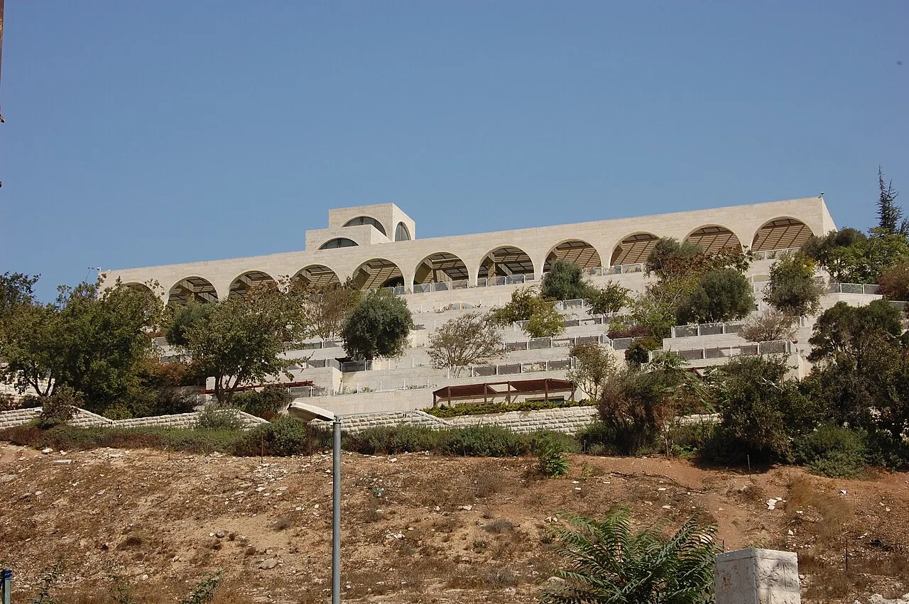
BYU Jerusalem Center (the "Mormon University")
Mount of Olives
The Mount of Olives is a mountain ridge in East Jerusalem, situated east of and adjacent to Jerusalem's Old City.
Chalk Formations Favoring Graves Over Buildings
The physical terrain is formed of oceanic sedimentary rock originating in the Late Cretaceous period. The landscape contains both hard flint and an easily quarried soft chalk. Because this chalk lacks suitable strength for regular construction, inhabitants carved out numerous man-made burial caves across the ridge.
From Wikipedia · CC BY-SA 4.0
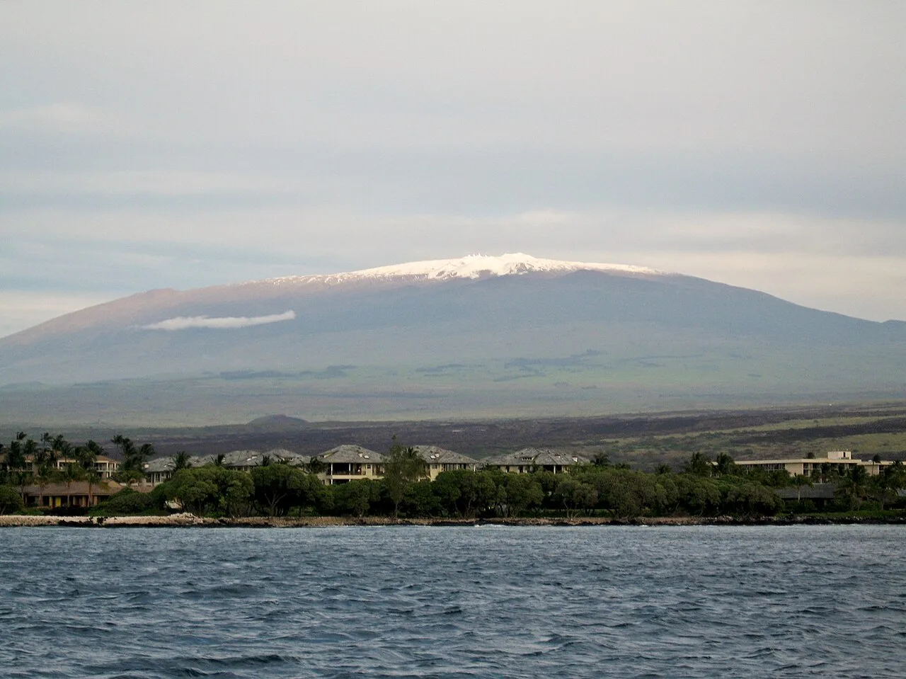
Mauna Kea from the ocean
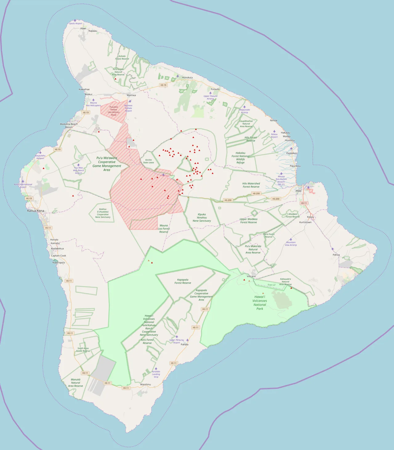
Mauna Kea is located in Hawaii (island)
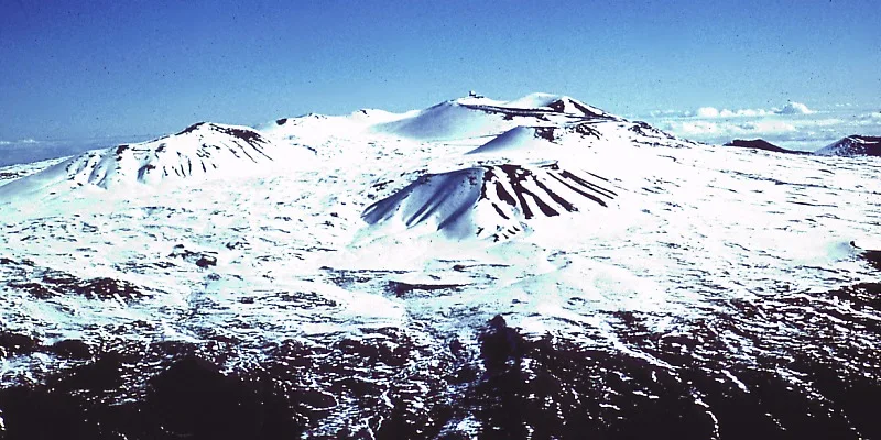
Scoria and cinder cones on Mauna Kea's summit in winter
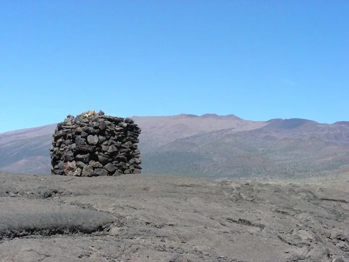
A stone structure or Ahu facing Mauna Kea, on Saddle Road between Mauna Kea and Mauna Loa
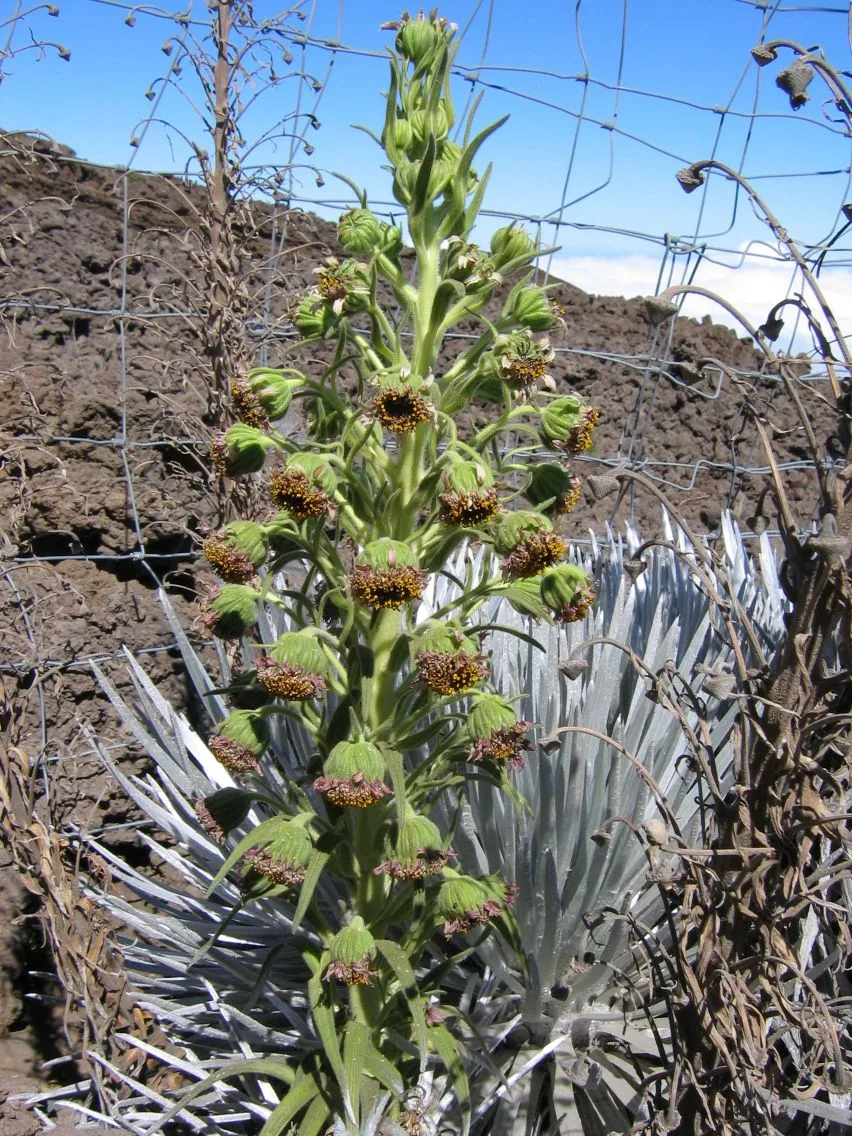
Mauna Kea silversword (Argyroxiphium sandwicense sandwicense) growing near the volcano's summit
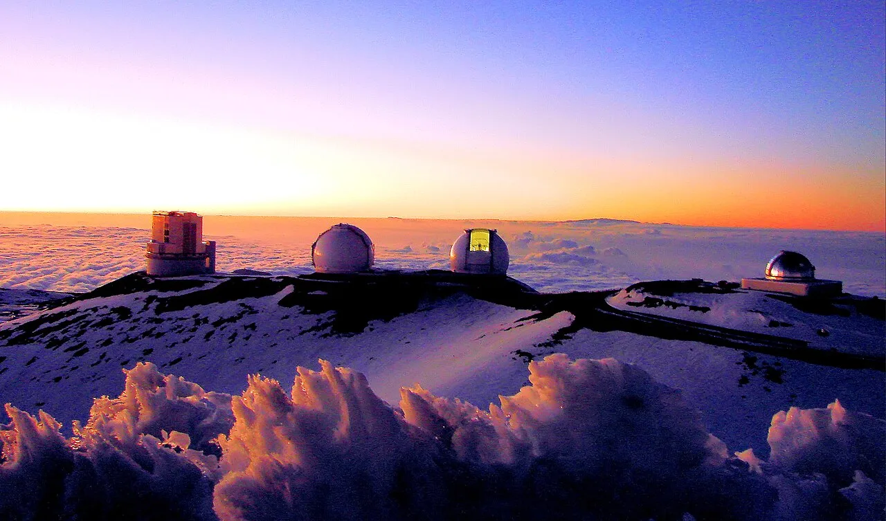
Sunset over four telescopes of the Maunakea Observatories. From left to right: the Subaru Telescope, the twin Keck I and II telescopes, and the NASA Infrared Telescope Facility.
Mauna Kea
Mauna Kea is a dormant shield volcano on the island of Hawaiʻi and is the highest point in Hawaii.
Measuring Prominence from Oceanic Basins
Mauna Kea challenges standard models of mountain scale when evaluated from its underwater foundation. Its dry prominence from the ocean floor reaches 30,610 ft (9,330 m), an expanse rivaled only by Mount Everest. Because this total rise exceeds Mount Everest's elevation above sea level of 29,031.7 feet (8,848.86 m), some authorities identify Mauna Kea as the tallest mountain in the world when measured base to peak.
From Wikipedia · CC BY-SA 4.0
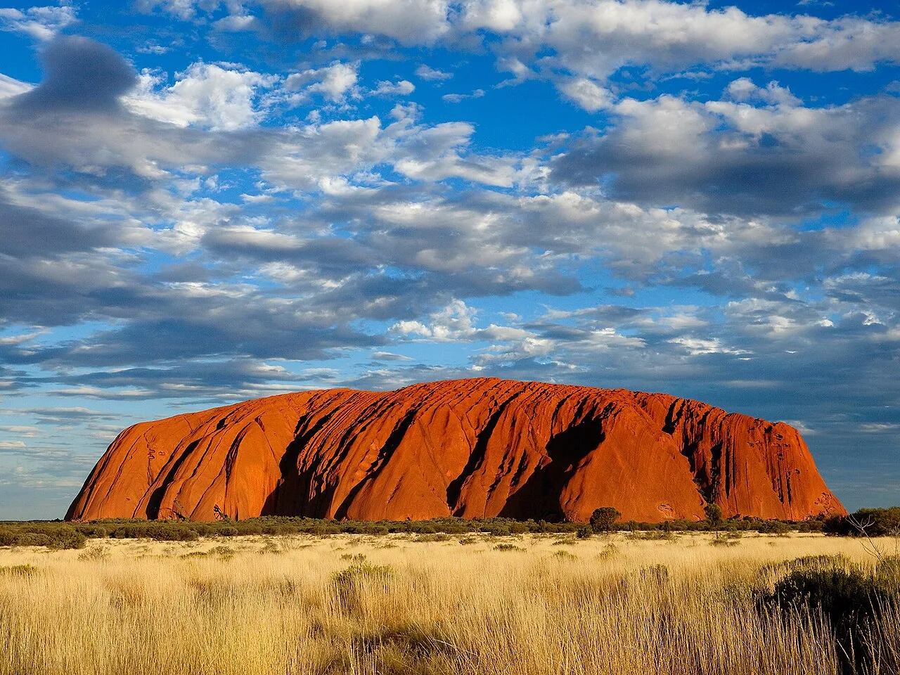
ULURU
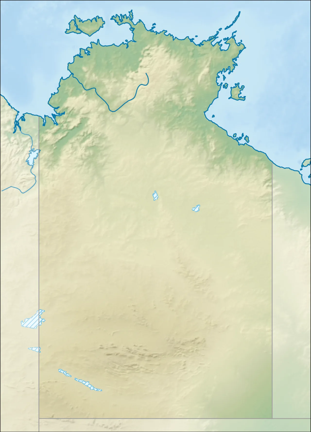
Uluru is located in Northern Territory
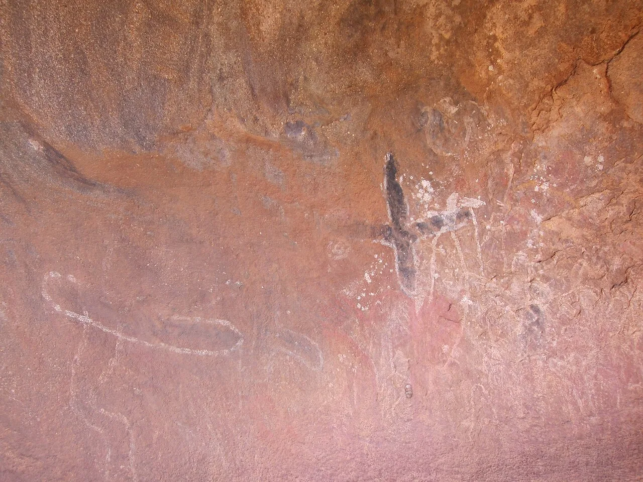
Petroglyphs on Uluru
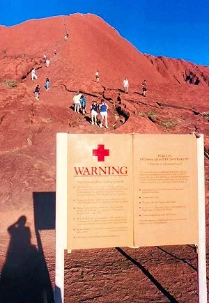
Climbers and a warning sign in 2005
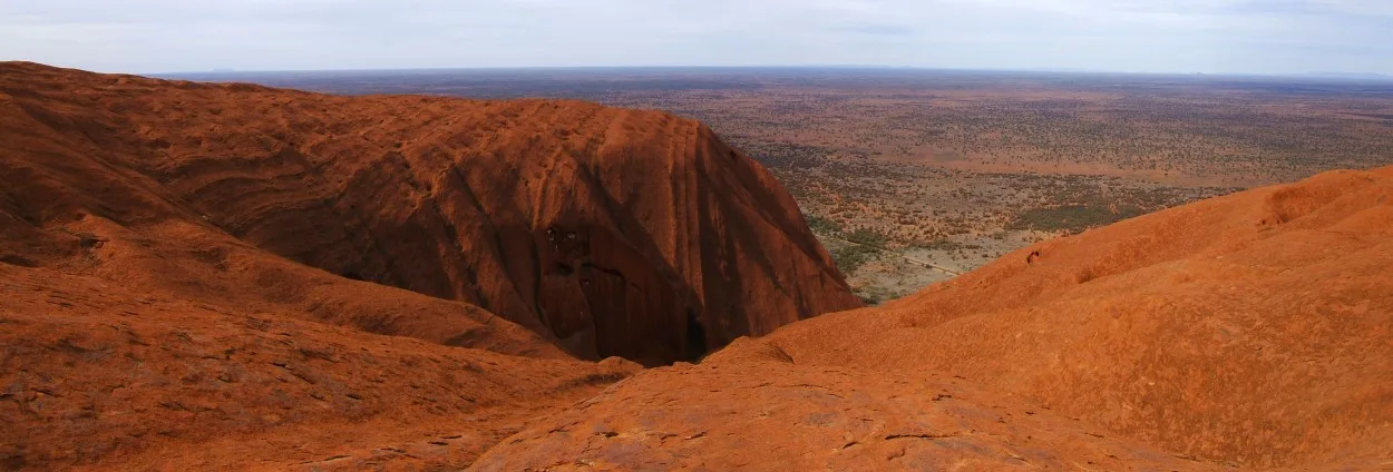
Panorama from the top of Uluru, showing a typical gully
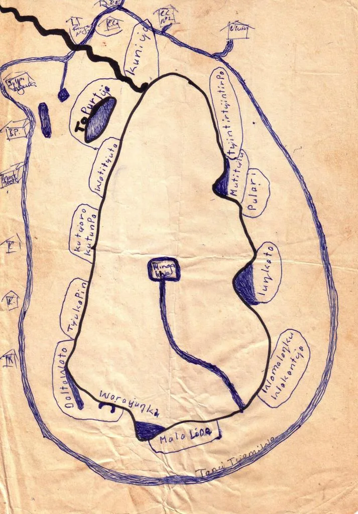
Tony Tjamiwa's map of Uluru
Uluru
Uluru, also known as Ayers Rock, is a large sandstone monolith in the southern part of Australia's Northern Territory, south-west of Alice Springs.
Beneath the Oxidized Grey Shell
Uluru towers 348 m high with a perimeter of 9.4 km, yet most of its structural mass remains buried underground. While celebrated globally for its glowing red-brown exterior, the sandstone is actually grey when freshly exposed. The landmark acquires its iconic rust coloration exclusively at the surface as iron-bearing minerals weather through oxidation.
From Wikipedia · CC BY-SA 4.0
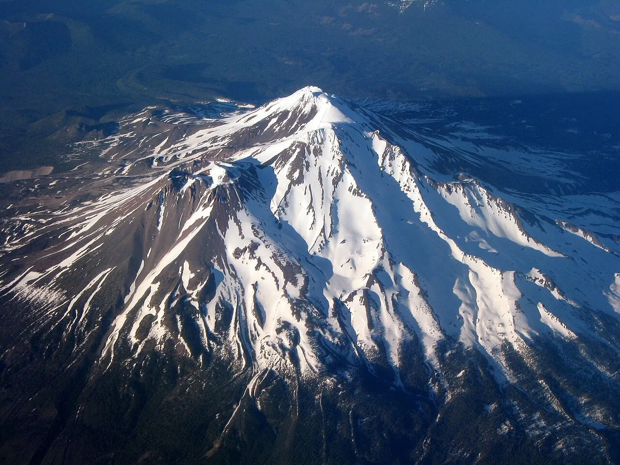
MtShasta aerial
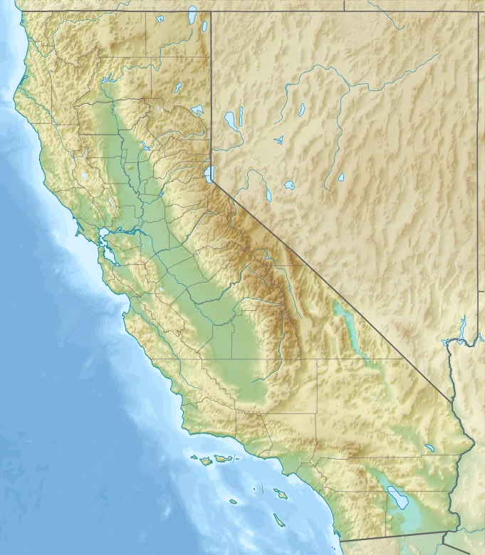
Mount Shasta is located in California
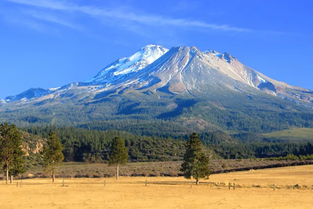
Mount Shasta seen from south of Weed, California
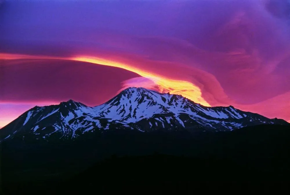
Sunrise over Mount Shasta
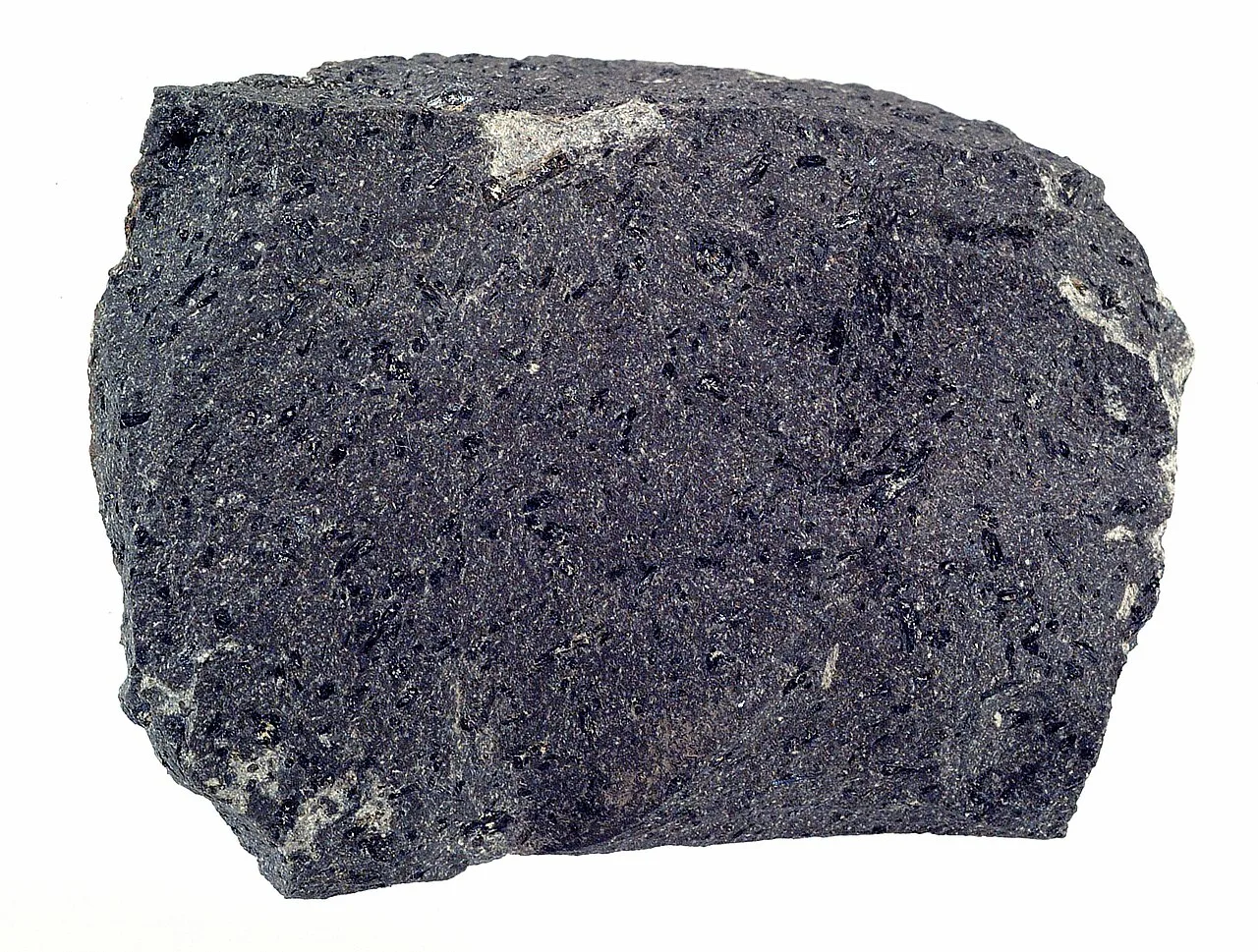
Andesite lava, about 4 in (10 cm) across, that was erupted at Mount Shasta
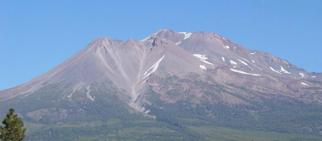
Diller Canyon on Shastina from Weed
Mount Shasta
Mount Shasta is a potentially active stratovolcano located at the southern end of the Cascade Range in Siskiyou County, California.
A Prehistoric Debris Avalanche in Shasta Valley
Long before modern eruptions shaped its current profile, an ancestral version of Mount Shasta underwent a catastrophic collapse between 300,000 and 360,000 years ago. The entire north side failed, sending an enormous landslide measuring 6.5 cubic miles into the Shasta Valley. Today, the Shasta River cuts directly through this ancient 28-mile-long debris flow.
From Wikipedia · CC BY-SA 4.0