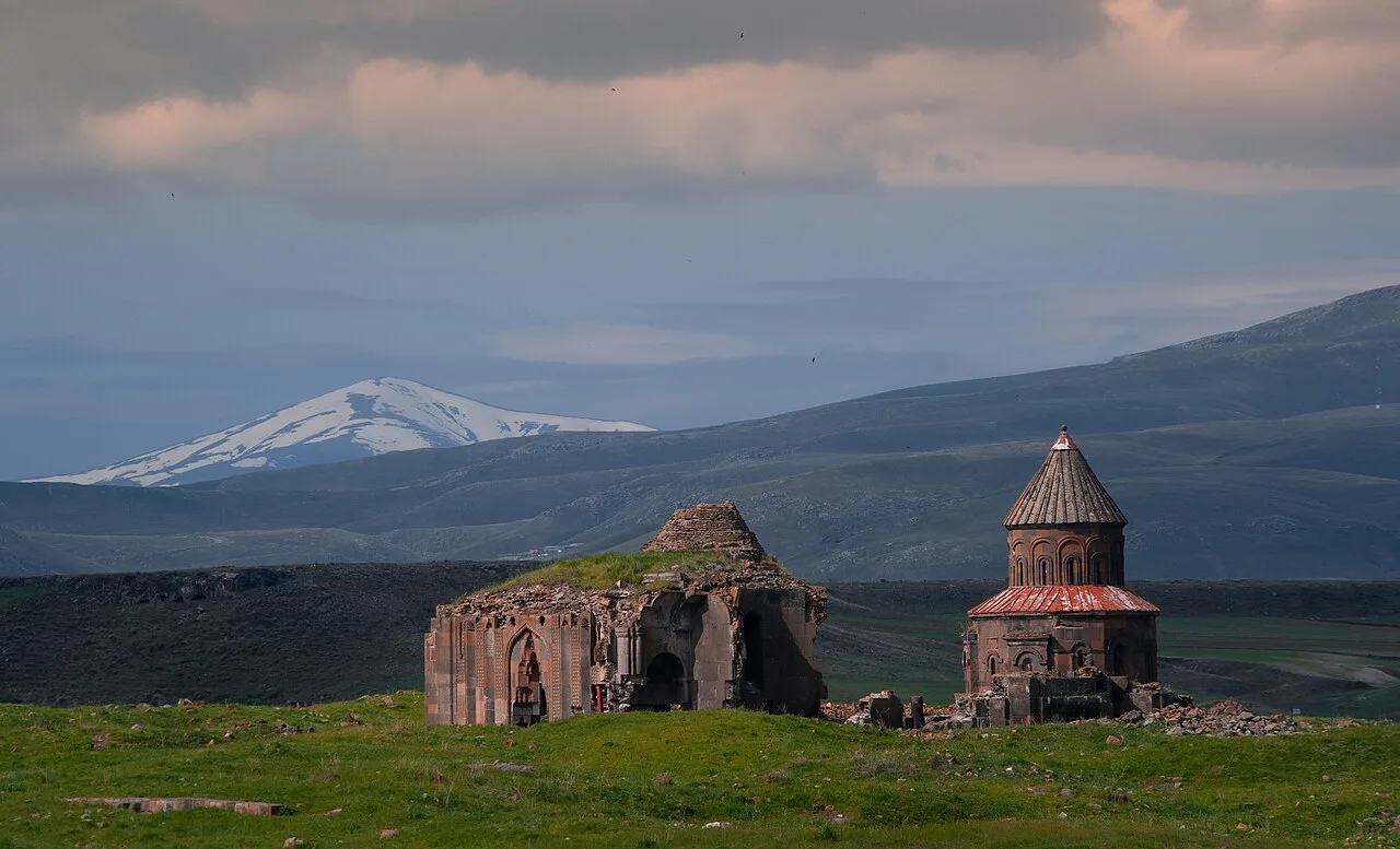
Ani Harabeleri 2
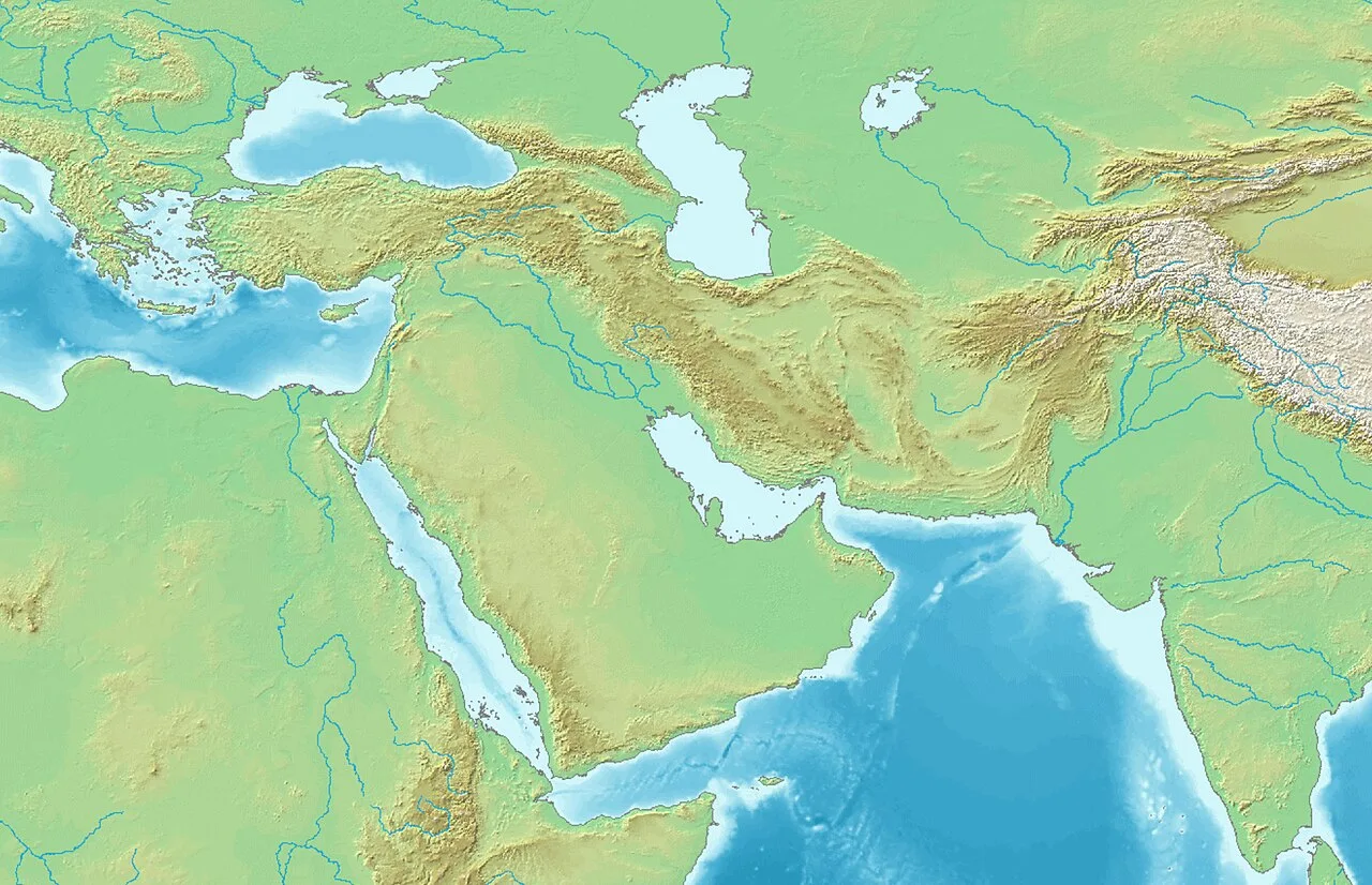
Ani is located in West and Central Asia
![Relief from the fortress of Ani.[32]](https://nwjvzop1xgplmzvt.public.blob.vercel-storage.com/wikifeed/ani/2-155193af69.webp)
Relief from the fortress of Ani.[32]
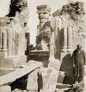
In 1905–06, archaeological excavations of the church of Saint Gregory of King Gagik were undertaken, headed by Nikolai Marr.
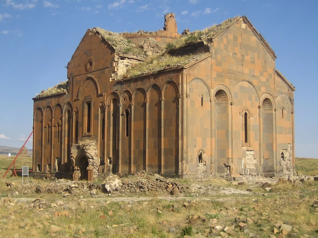
Cathedral of Ani today
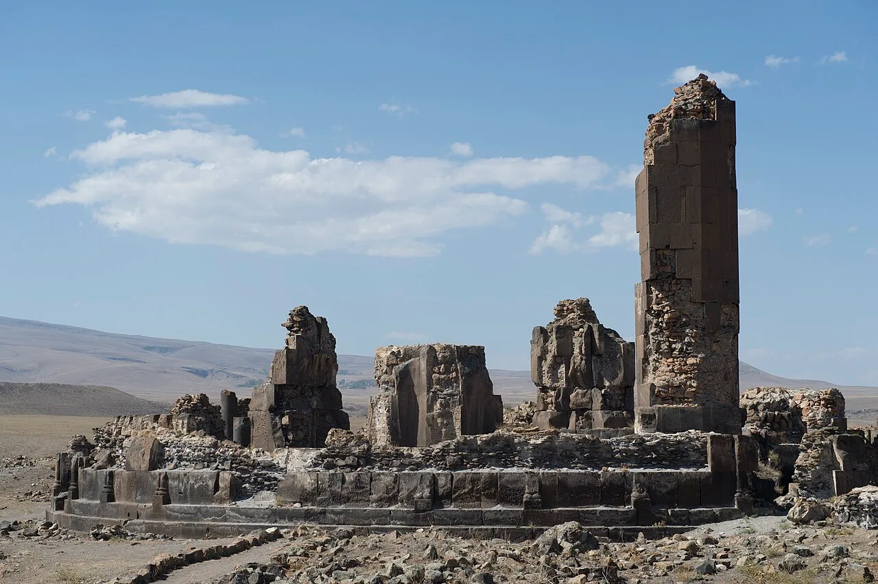
King Gagik's church of St Gregory
Ani
Ani is a ruined medieval Armenian city now situated in Turkey's province of Kars, next to the closed border with Armenia.
The thousand-and-one churches that were actually fifty
Ani's nickname invited visions of a skyline packed with dozens of sanctuaries, but the archaeology tells a more modest story: excavations have so far uncovered 50 churches, 33 cave chapels, and 20 chapels. The gap between legend and ground truth reveals how a city's reputation can outrun its physical footprint. The name itself belongs to hyperbole, not inventory.
From Wikipedia · CC BY-SA 4.0
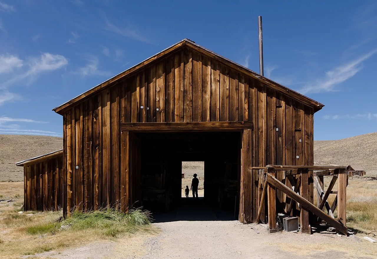
County Barn, Bodie, California
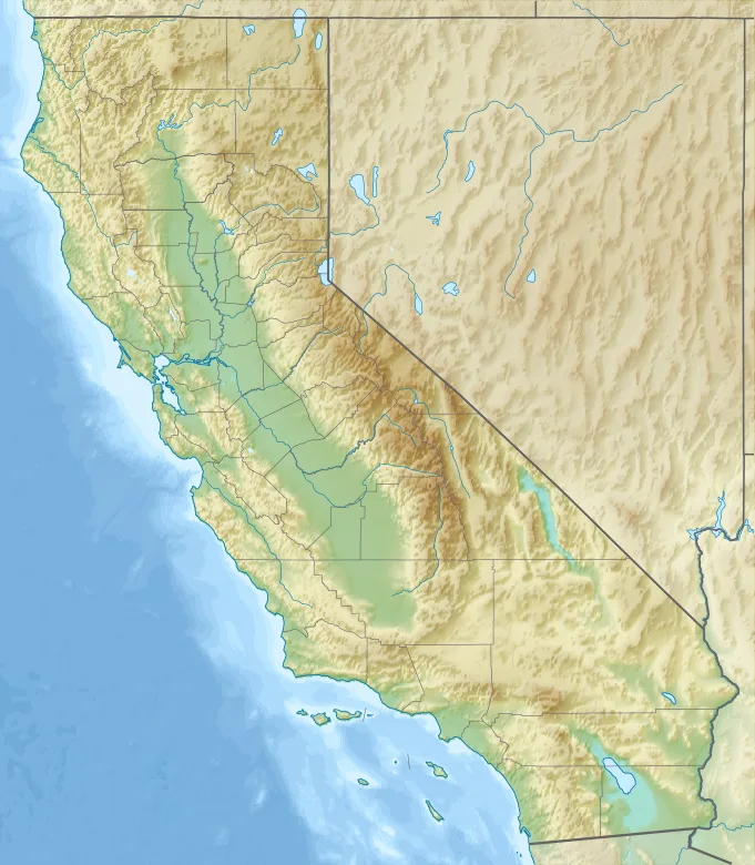
Bodie is located in California
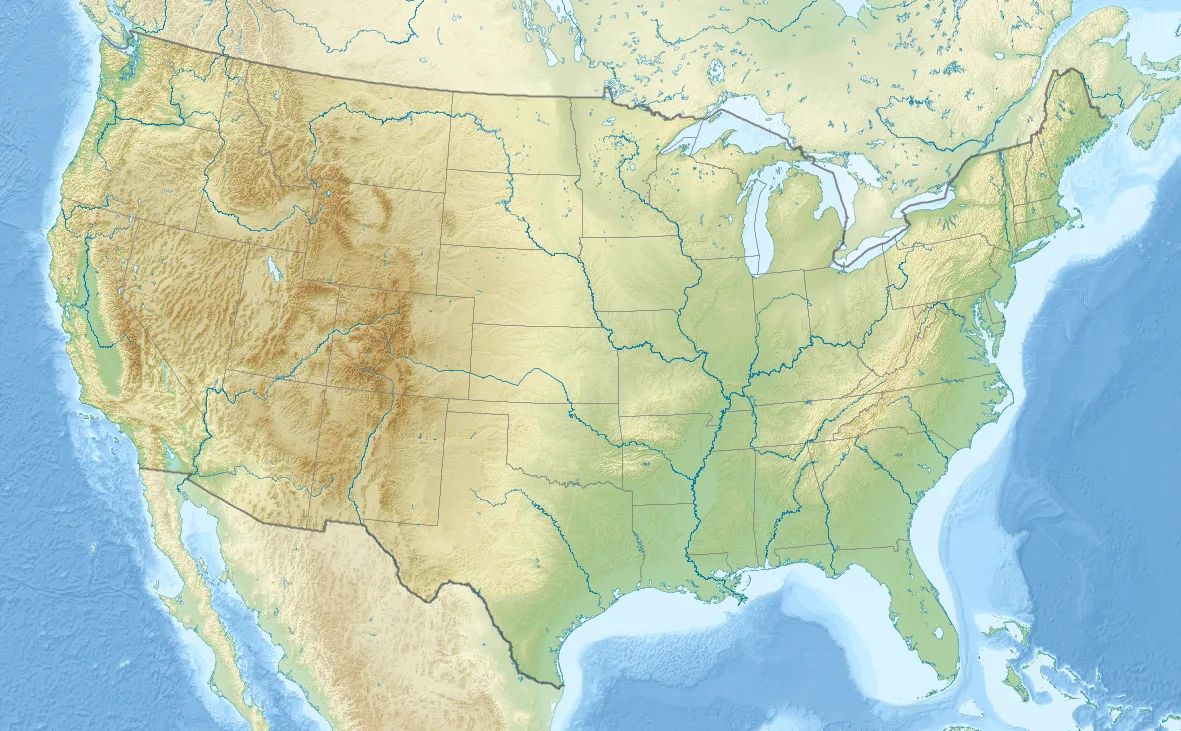
Bodie is located in the United States
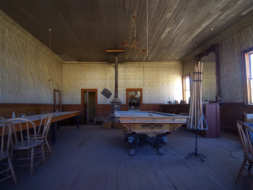
A saloon
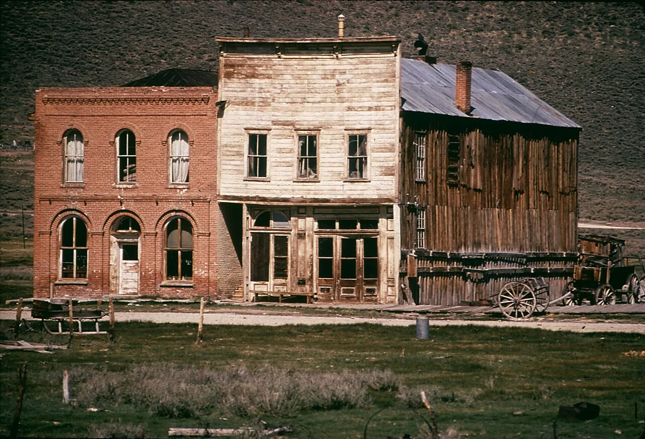
Bodie in May 1972

Bodie has many abandoned artifacts, such as this 1937 Chevrolet coupe.
Bodie, California
Bodie is a ghost town in Mono County, California, that became a boomtown following the discovery of a profitable vein of gold.
A Painter's Typo Immortalizes a Frozen Prospector
Prospector W. S. Bodey never lived to witness the gold camp that bore his name, perishing in a blizzard in November 1859 during a supply trip to Monoville. Though early records offered several orthographic variations including Bodey and Body, the current spelling became standardized only after a sign painter in Aurora lettered a sign Bodie Stables. For years after this discovery, interest remained lackluster while nearby silver operations boomed.
From Wikipedia · CC BY-SA 4.0
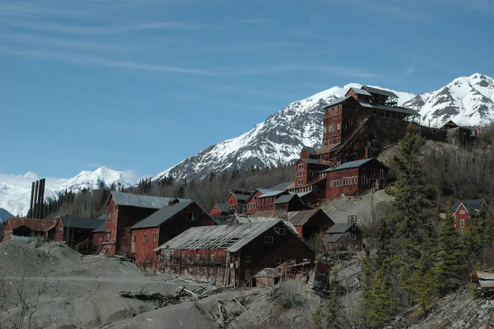
Kennicott8
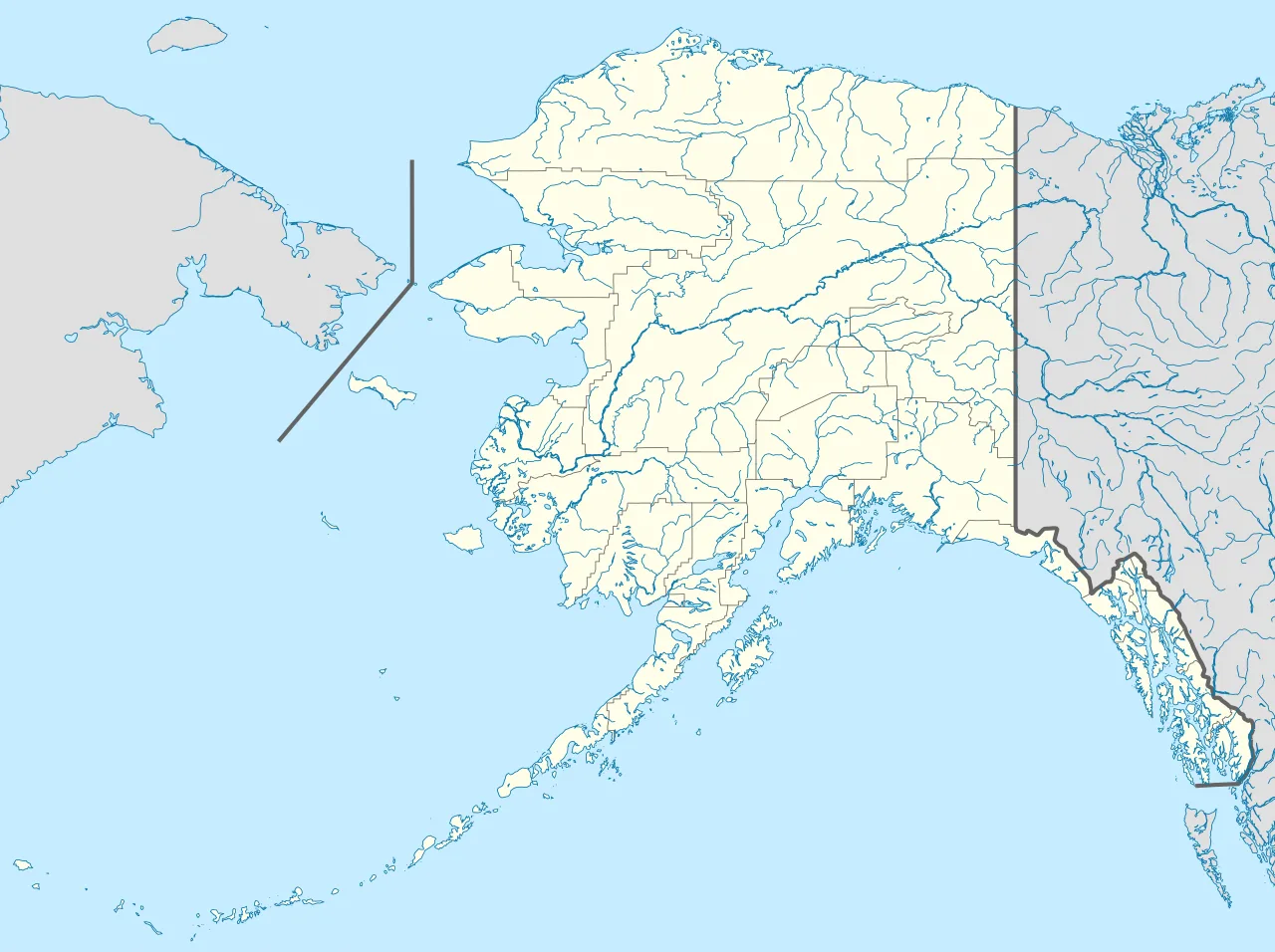
Kennecott, Alaska is located in Alaska
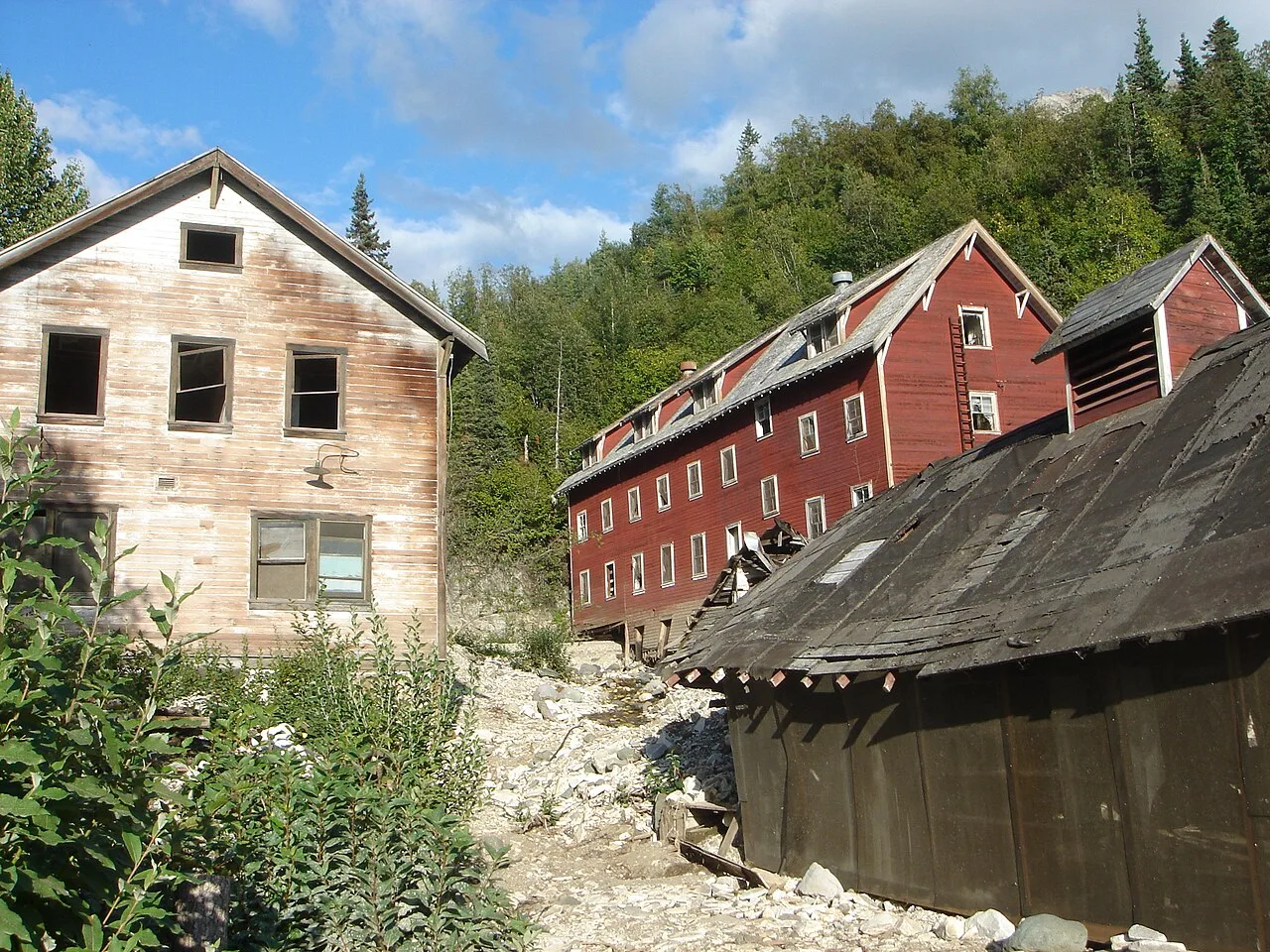
The Kennecott hospital (left) stood out as the town's only white-washed building. The vast majority of other town structures, including workers' bunkhouses (right), were painted red, the least expensive color at the time. The Kennecott hospital was also the site of the first X-ray machine in Alaska.
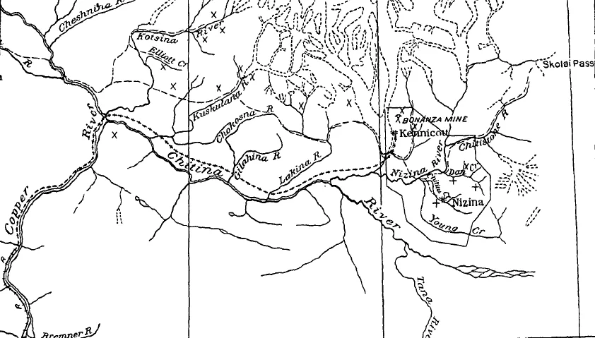
Map of the Chitina River valley. "x" depicts a copper prospect while "+" depicts a gold placer.
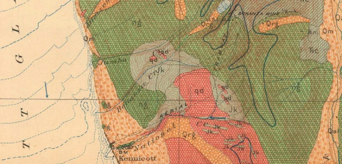
Geological map of the Kennecott and Bonanza Mine area. "ng" is the Nikolai greenstone formation, "Trc" is the Chitistone limestone formation, while "Qrg" are rock glaciers.
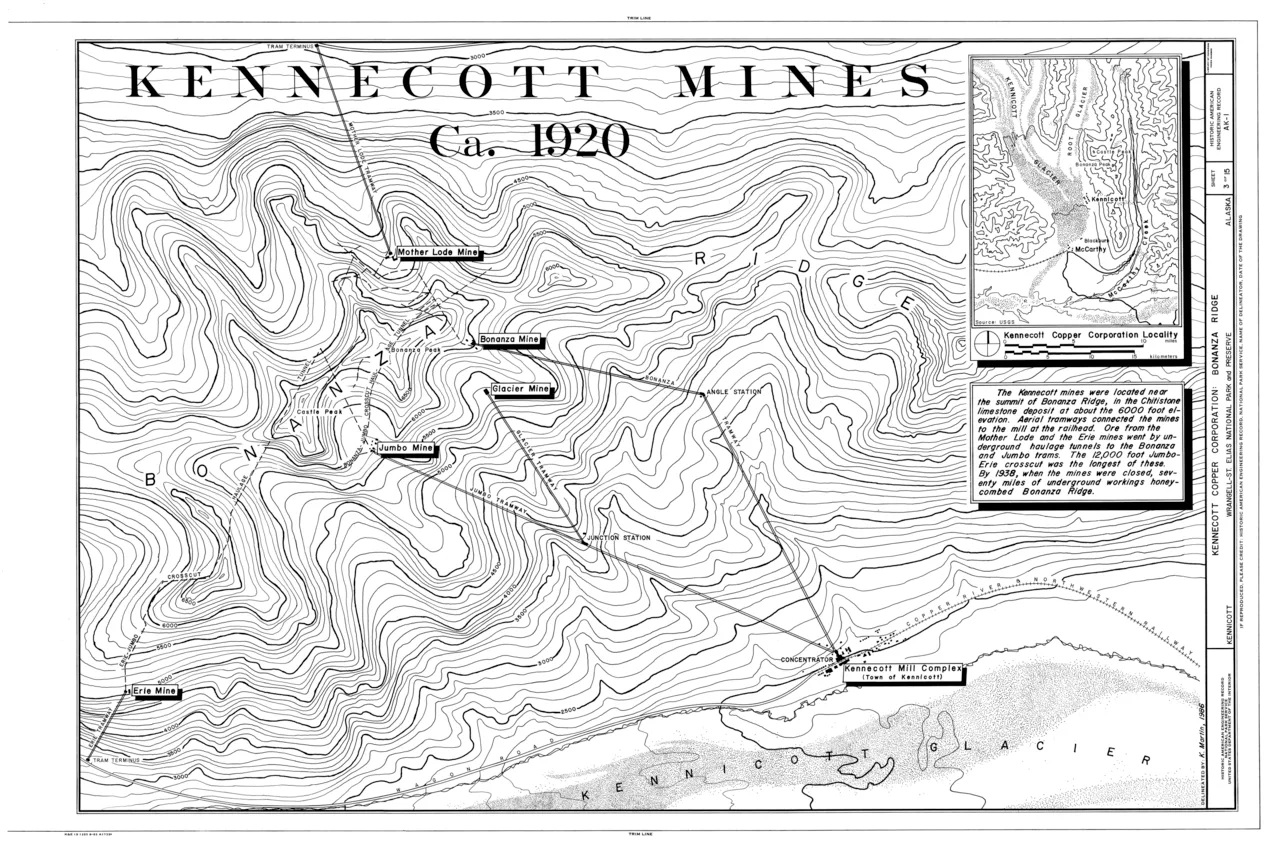
Topographic map showing the location of the Erie, Jumbo, Mother Lode, Bonanza and Glacier Mines in relation to Kennecott. Note the aerial tramways and haulage tunnels.
Kennecott, Alaska
Kennecott is an abandoned copper mining camp in Alaska located inside Wrangell-St. Elias National Park and Preserve. It is now a National Historic Landmark District.
Green Meadow on the Cliffs
In the summer of 1900, prospectors Jack Smith and Clarence L. Warner spotted what appeared to be an improbable green meadow high on the mountain. The vibrant patch turned out to be malachite and chalcocite, marking the discovery of the legendary Bonanza claim. Further testing soon established that the surrounding deposits formed the richest known concentration of copper in the world.
From Wikipedia · CC BY-SA 4.0
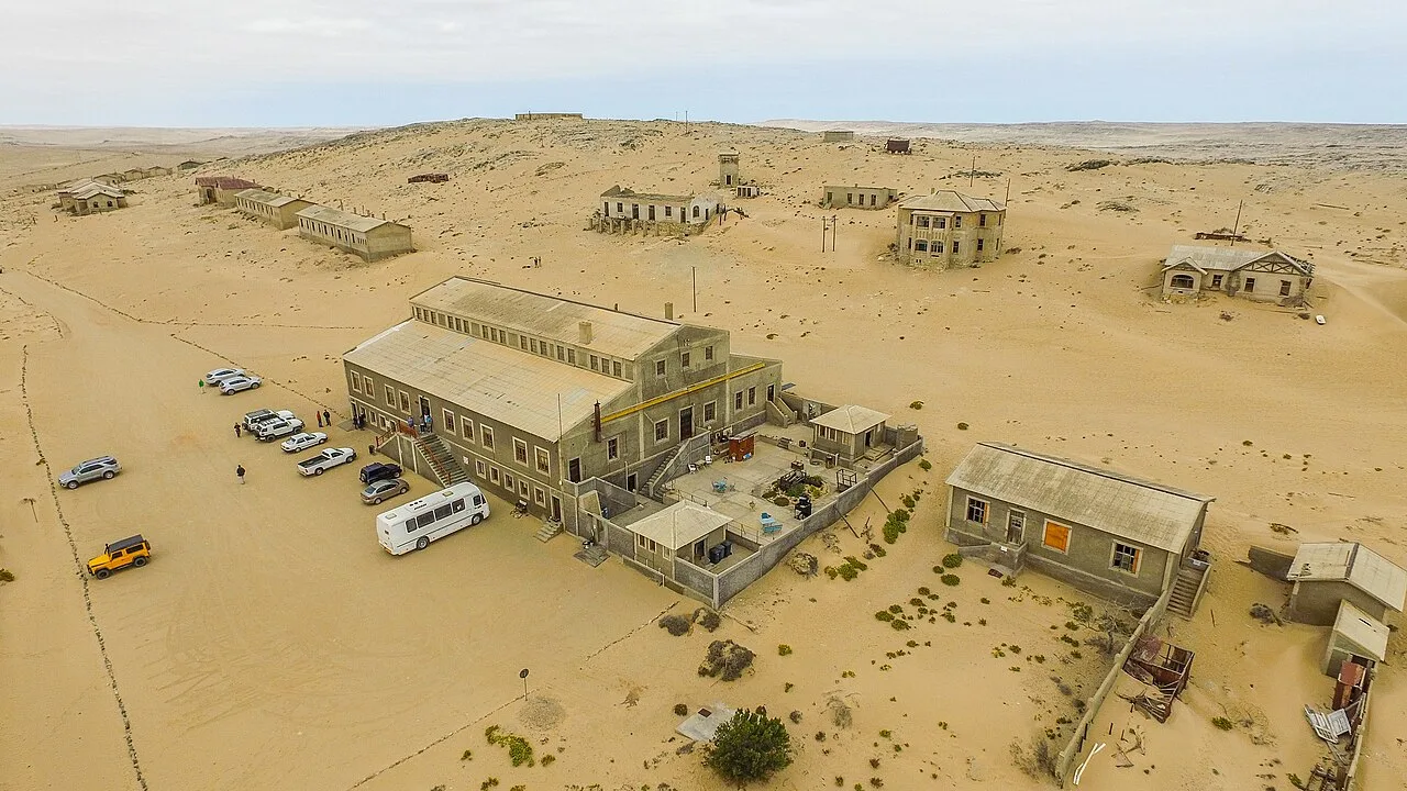
An aerial view of Kolmanskop
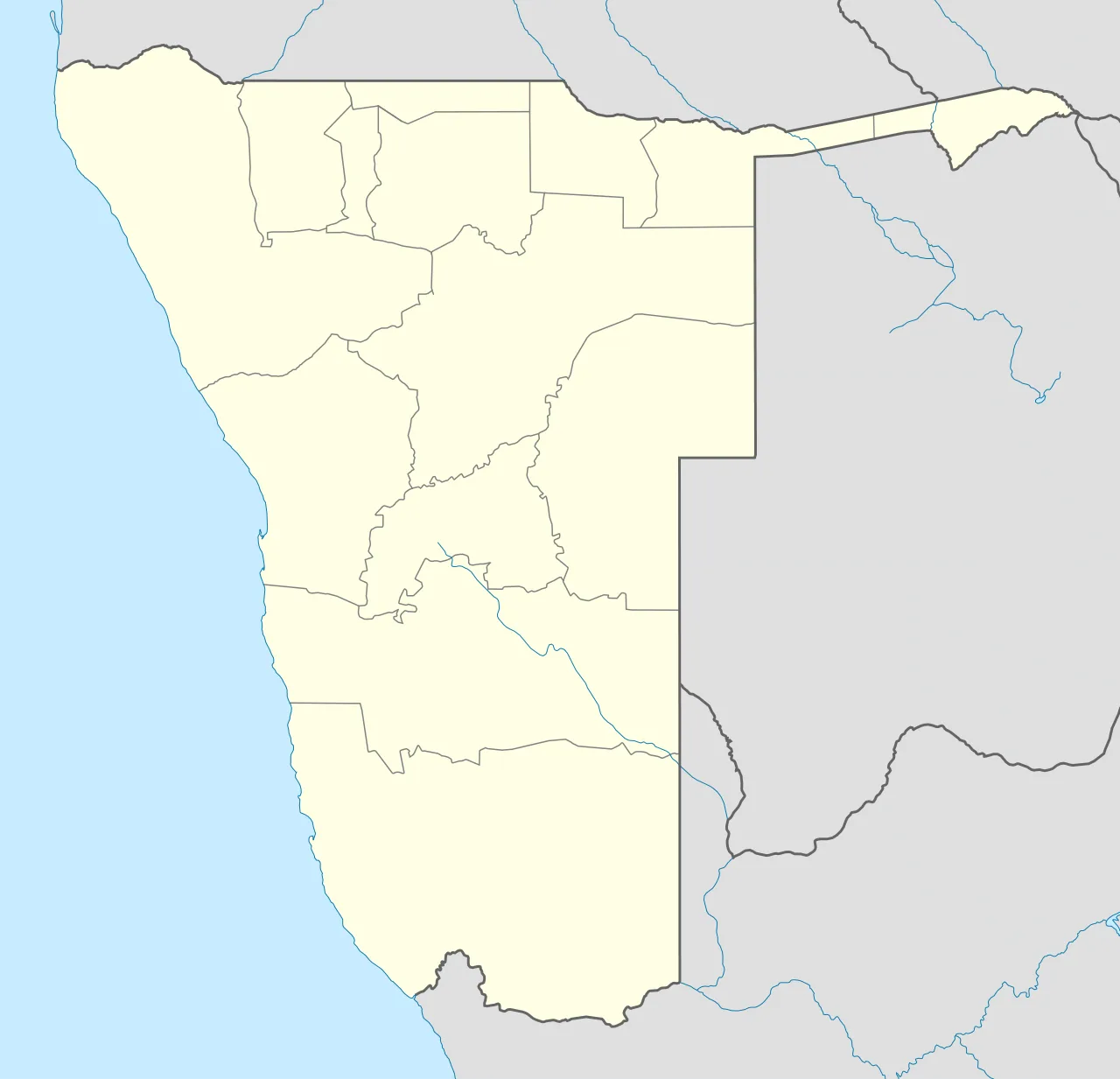
Kolmanskop is located in Namibia
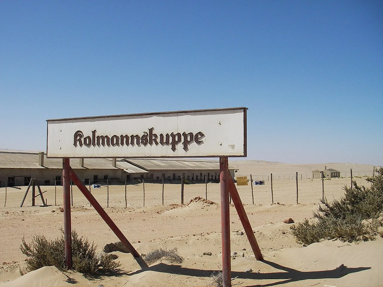
The town sign of Kolmannskuppe
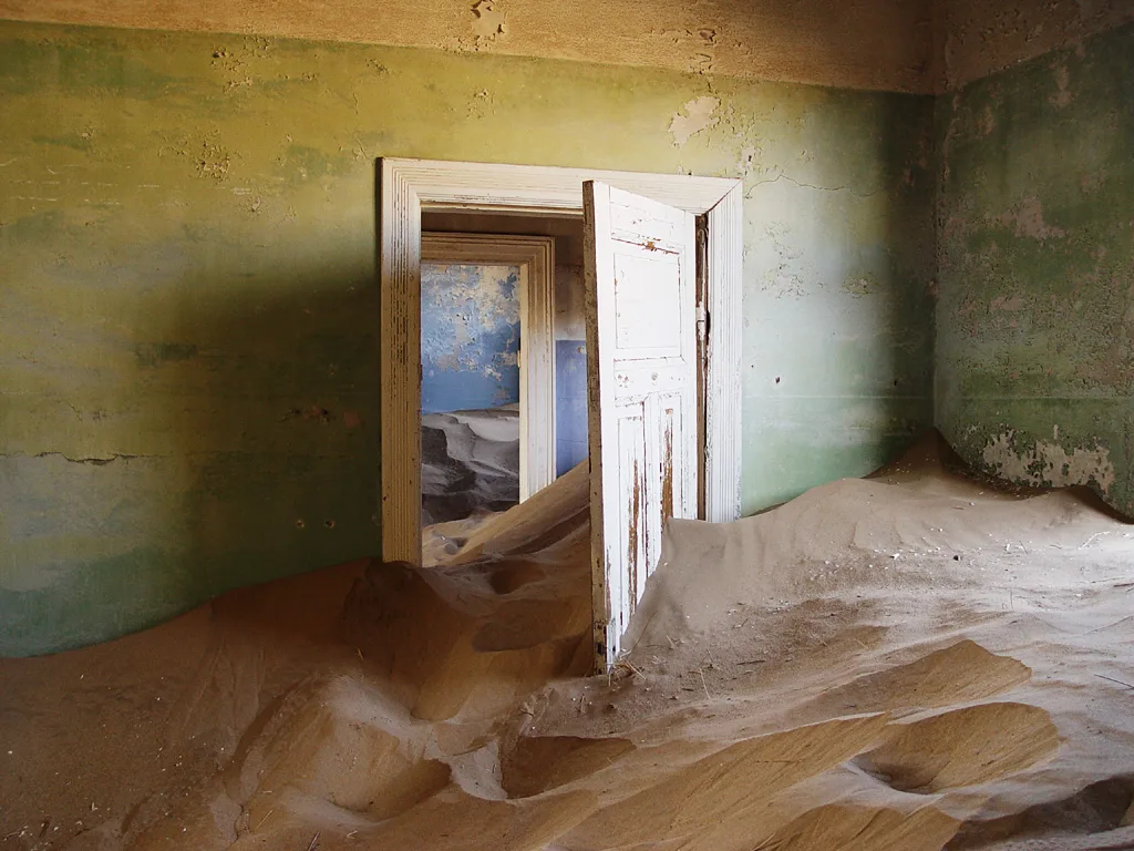
After the depopulation, sand invaded the houses
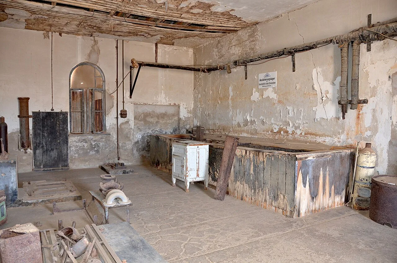
Ice factory
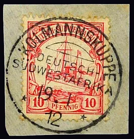
10 Pfennig stamp with postmark Kolmannskuppe 19. 1. 12
Kolmanskop
Kolmanskop is a ghost town in southern Namibia. Once a rich mining village, it is now a tourist destination run by Namdeb, a joint venture of the Namibian government and De Beers.
A Trackside Glint and Imperial Enclosure
A casual discovery by railroad worker Zacharias Lewala in 1908 instantly transformed an austere desert landscape. Lewala presented a found diamond to his inspector, August Stauch, alerting German authorities to the desert's hidden wealth. The German Empire moved rapidly to seal off the region, officially designating a massive territory as the Sperrgebiet to control mineral exploitation.
From Wikipedia · CC BY-SA 4.0
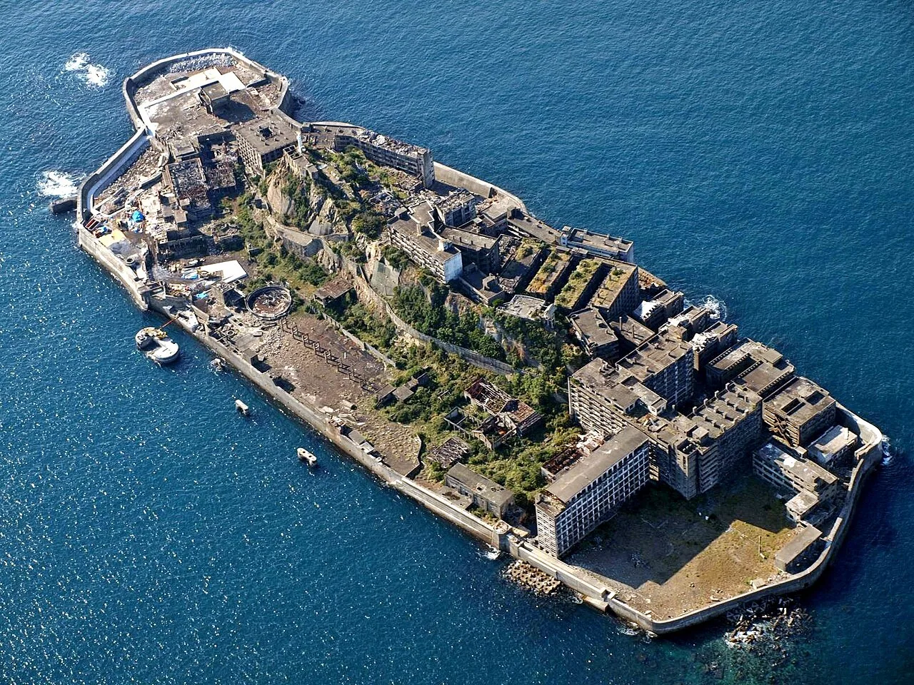
Battle-Ship Island Nagasaki Japan
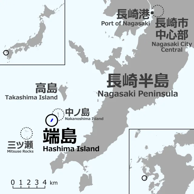
Various views from the ocean and from on the island, 2016
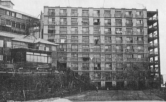
An apartment block on the island, c. 1930
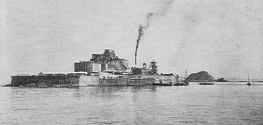
Hashima c. 1930
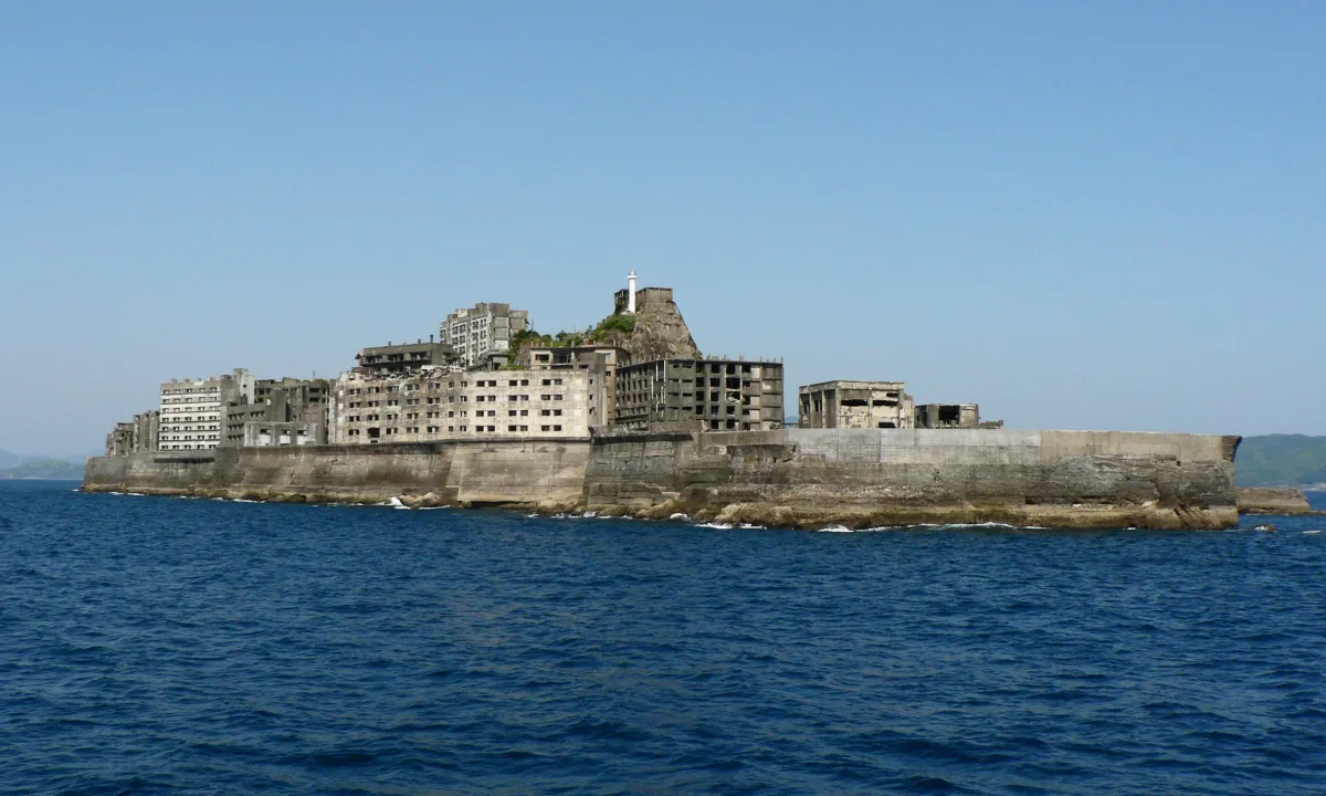
View of the island in 2009
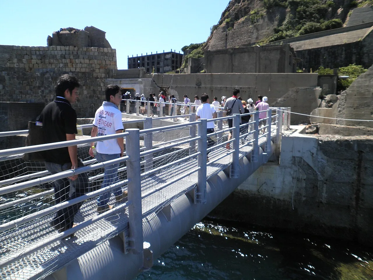
Sightseeing on the island, August 2010
Hashima Island
An abandoned island off Nagasaki, it is one of 505 uninhabited islands in Nagasaki Prefecture, notable for its abandoned concrete buildings and seawall.
Record Urban Density on a Concrete Outpost
Hashima became one of the most densely populated places on Earth as mining operations expanded. In 1959, the 6.3-hectare island reached a peak population of 5,259 residents. This resulted in an extraordinary density of 835 people per hectare across the entire island, and 1,391 per hectare within its residential district.
From Wikipedia · CC BY-SA 4.0
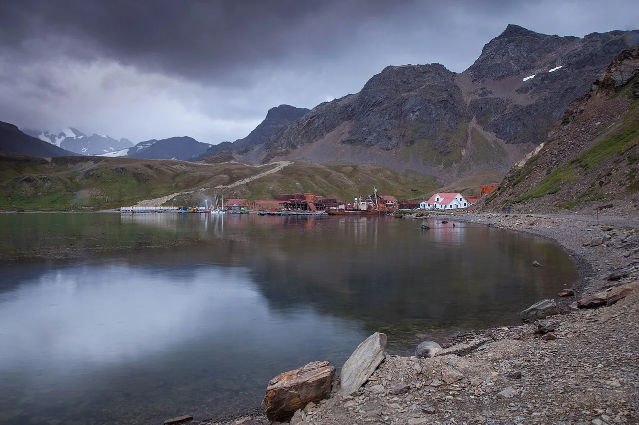
Grytviken20090110-IMG 0743 (16094671225)
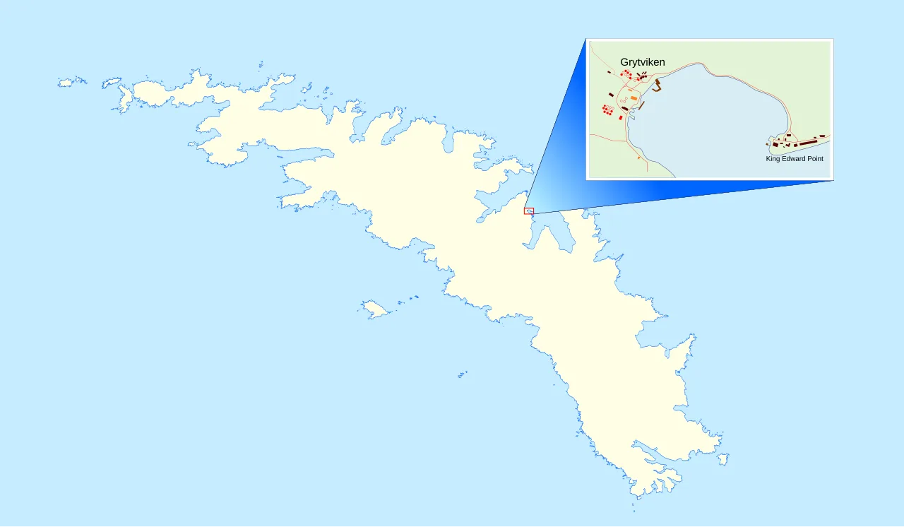
Location of Grytviken and King Edward Point
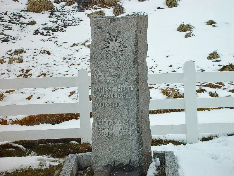
Shackleton's grave in Grytviken
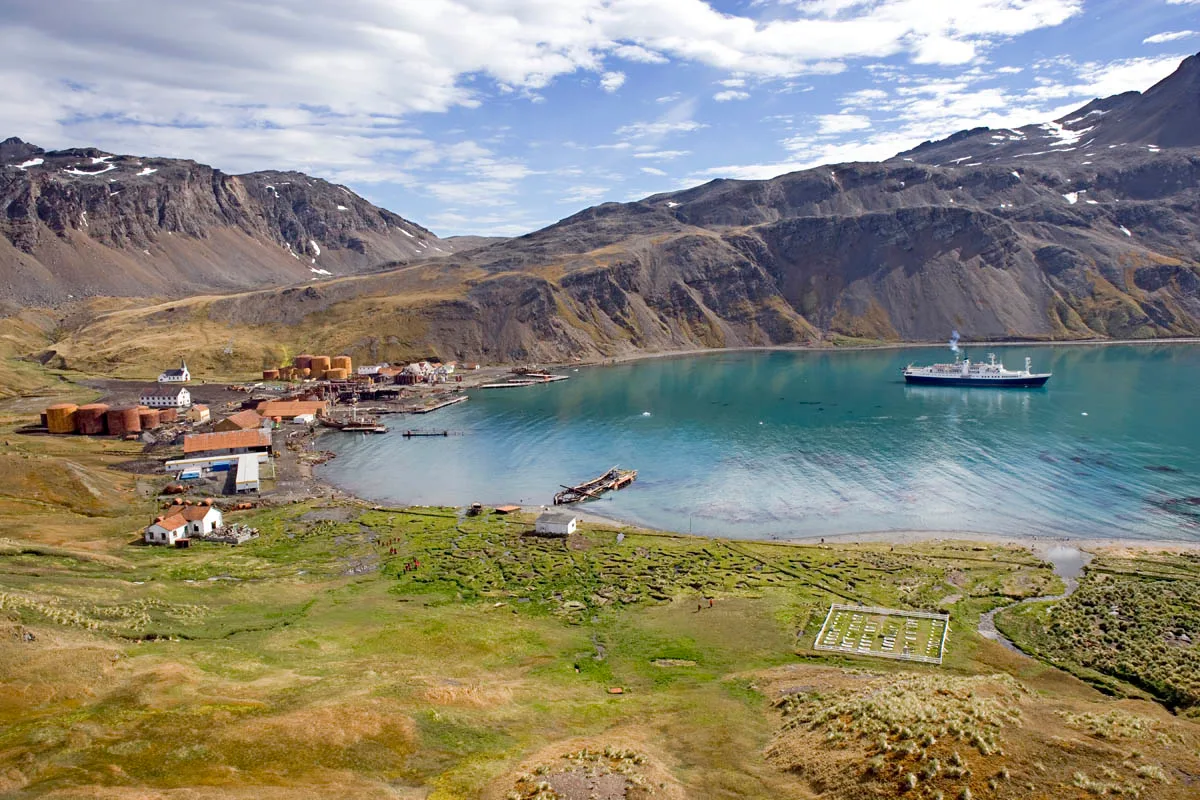
Grytviken Harbour, showing the whaling station, church and cemetery with Shackleton's grave
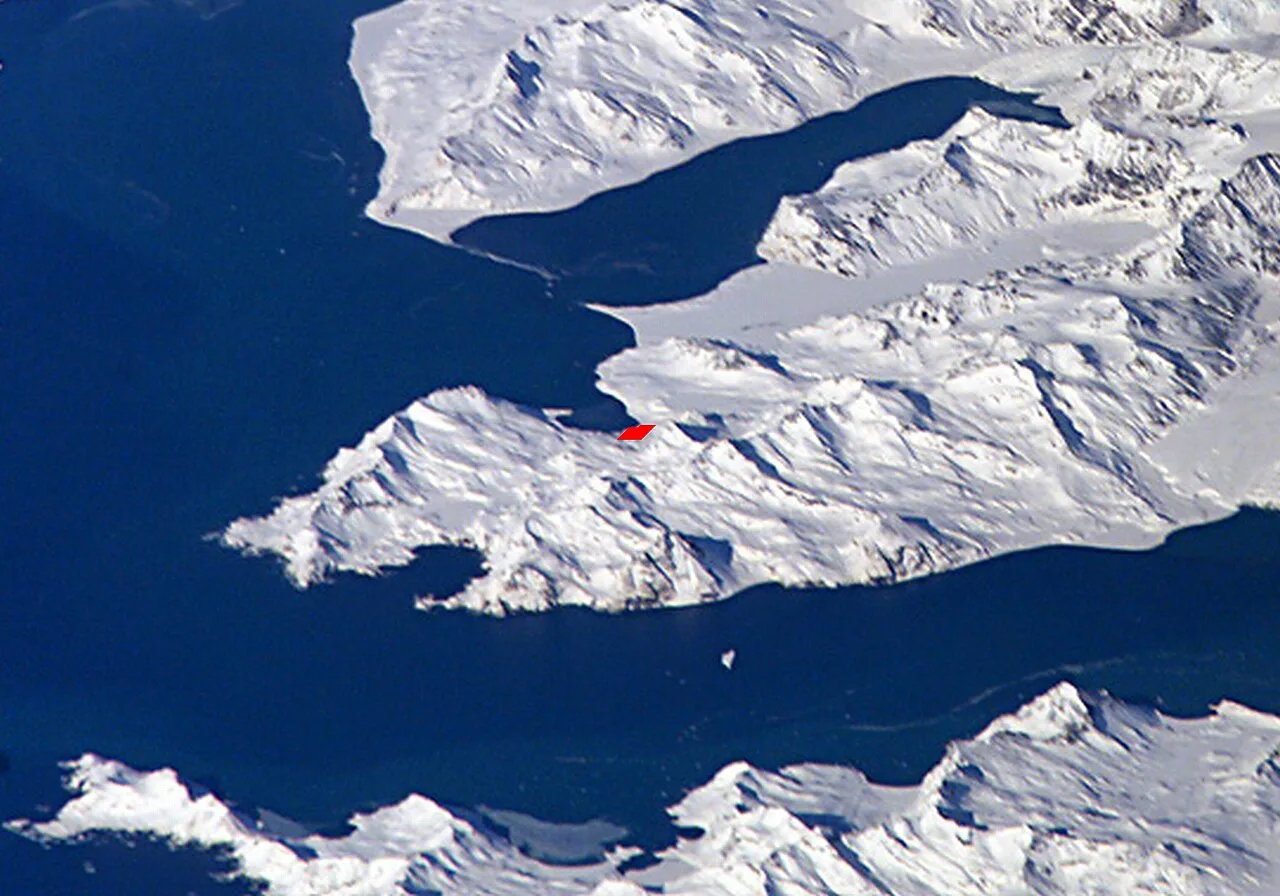
Thatcher Peninsula with King Edward Cove and Grytviken
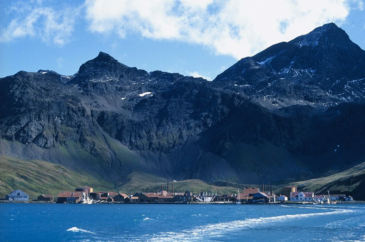
Grytviken's abandoned whaling station
Grytviken
Grytviken is a hamlet on South Georgia in the South Atlantic that was formerly a whaling station and the largest settlement on the island.
English Relics That Named a Norwegian Harbor
When Swedish geologist Johan Gunnar Andersson surveyed the Thatcher Peninsula, he discovered the area marked by historical sealing gear rather than untouched wilderness. The Swedish Antarctic Expedition encountered English try pots previously used to boil seal oil, inspiring the name Grytviken, which translates to pot bay. One recovered pot inscribed with Johnson and Sons, Wapping Dock, London is preserved today at the South Georgia Museum.
From Wikipedia · CC BY-SA 4.0
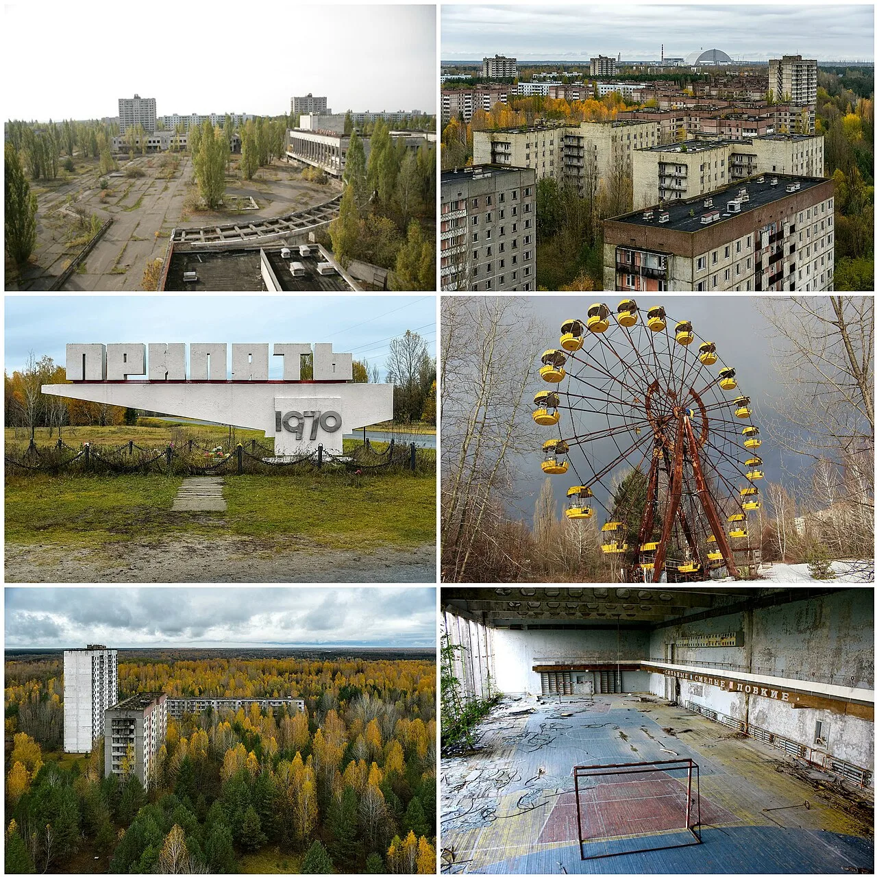
Pripyat montage
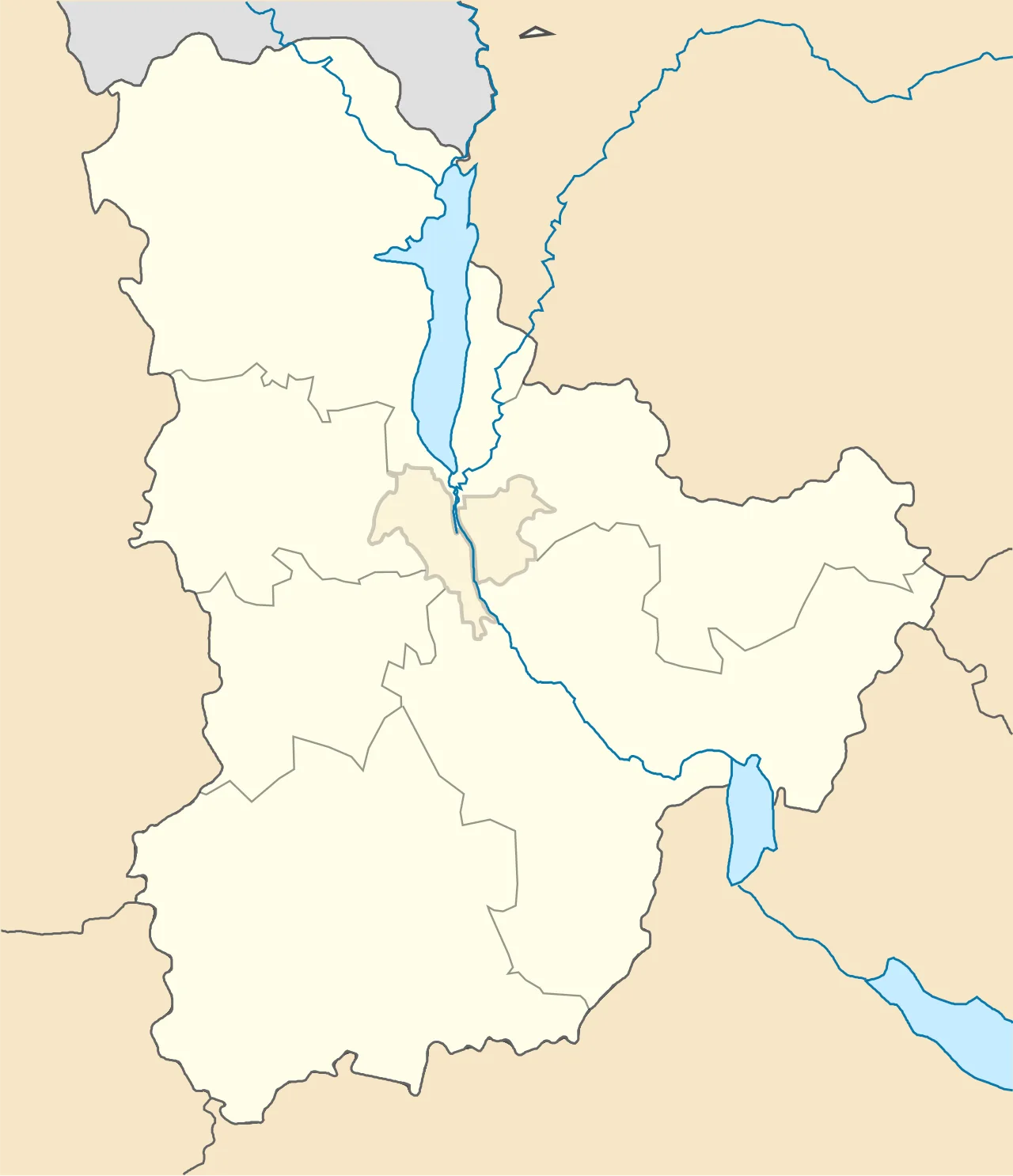
Pripyat is located in Kyiv Oblast
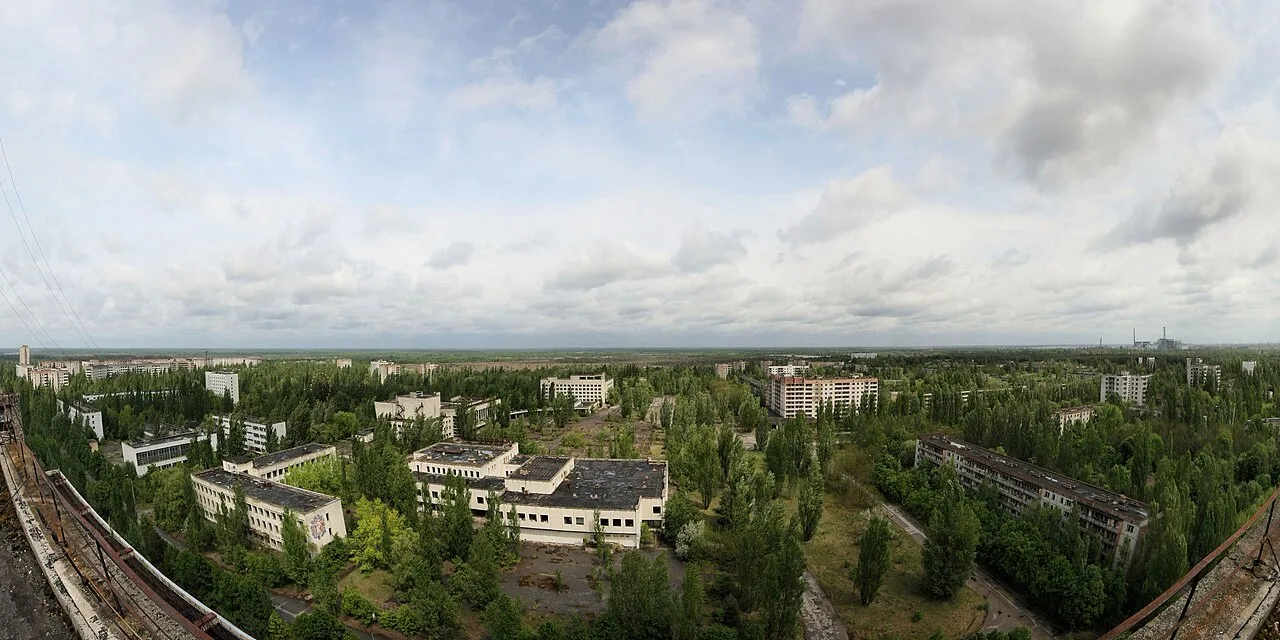
Panoramic view of Pripyat in May 2009

View of the Chernobyl power plant including 2003 radioactive level of 0.763 milliroentgens per hour
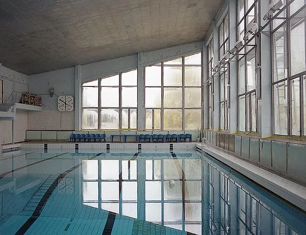
The Azure Swimming Pool was still in use by liquidators in 1996, a decade after the Chernobyl incident.
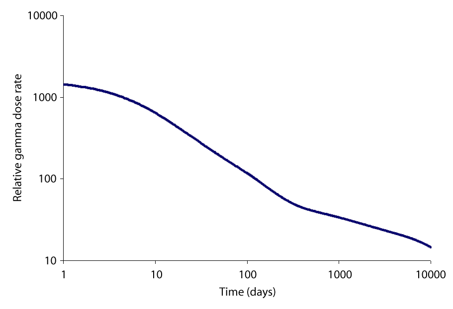
The external relative gamma dose for a person in the open near the Chernobyl disaster site. The intermediate lived fission products like Cs-137 contribute nearly all of the gamma dose now after a number of decades have passed, see opposite.
Pripyat
Pripyat is an abandoned industrial city in Kyiv Oblast, Ukraine, founded in 1970 to house workers from the nearby Chernobyl Nuclear Power Plant.
Unrestricted Access Under the Peaceful Atom
Soviet leadership viewed nuclear energy as an achievement of civilian engineering rather than an inherent hazard. Unlike cities of military importance, access to Pripyat was not restricted before the disaster occurred. This openness was driven by the popular slogan 'peaceful atom' and the prevailing belief that atomic power stations were safer than traditional power facilities.
From Wikipedia · CC BY-SA 4.0
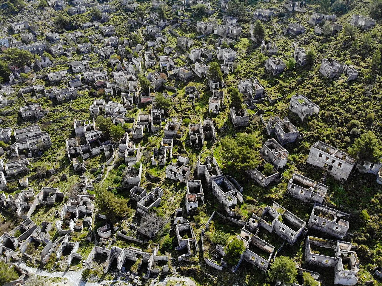
Abandoned houses at Kayaköy
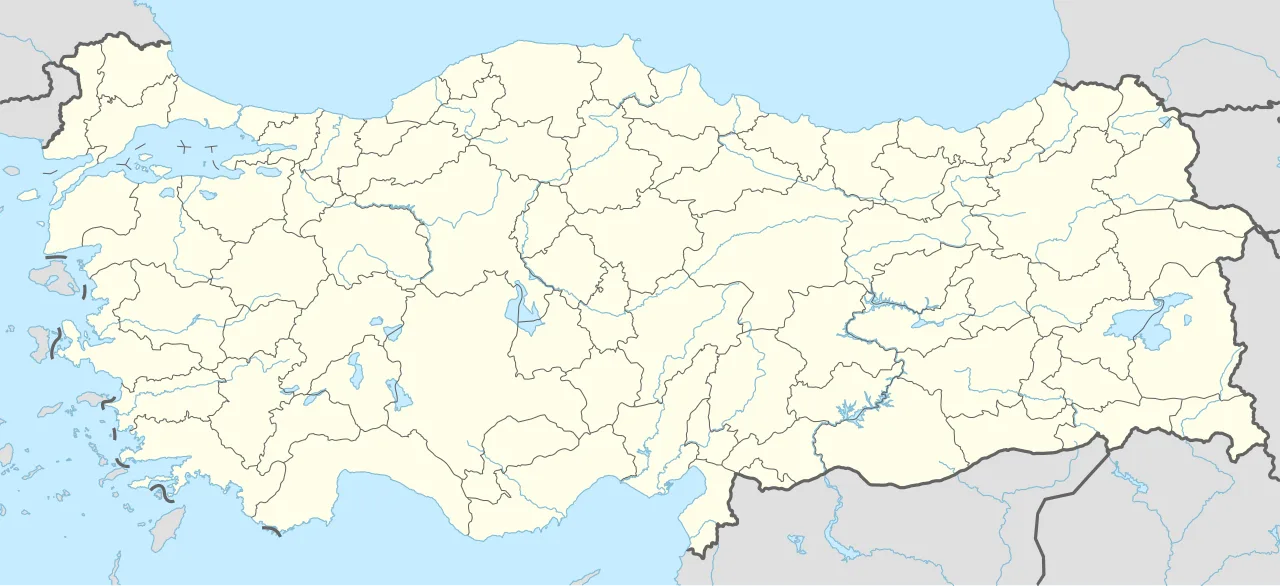
Kayaköy is located in Turkey
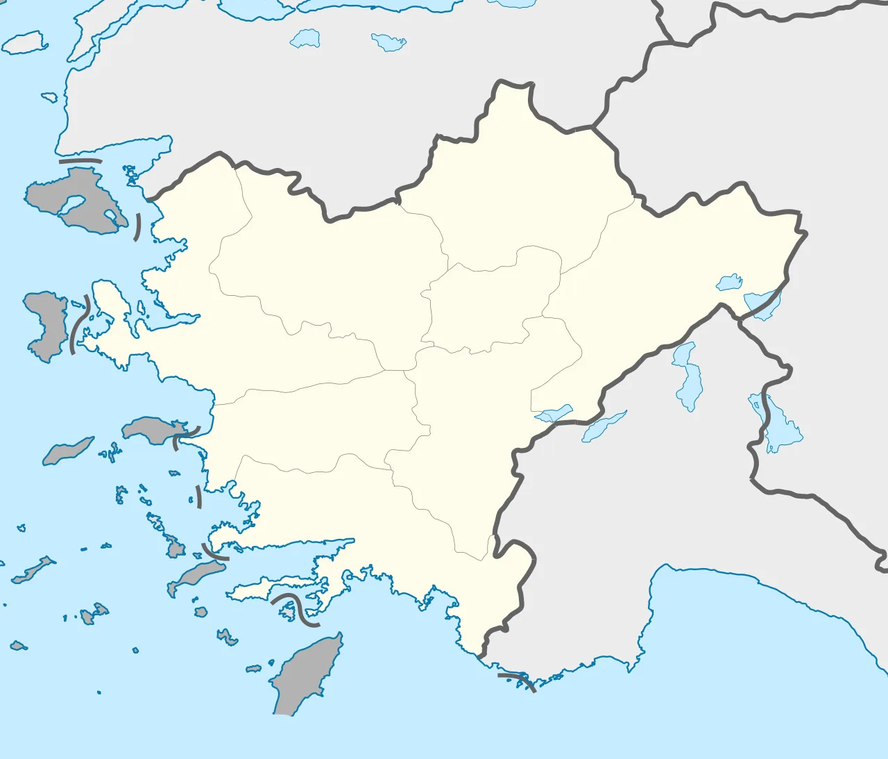
Kayaköy is located in Turkey Aegean
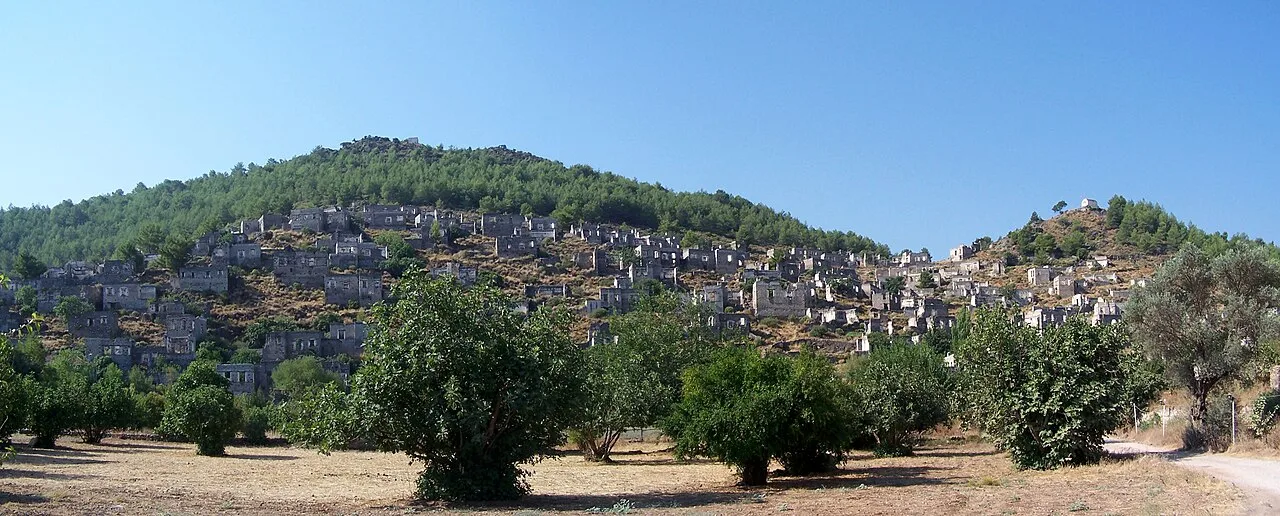
Livissi/Kayaköy village
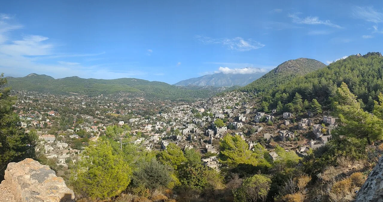
A panoramic view of Kayaköy/Leivissi from the High Chapel
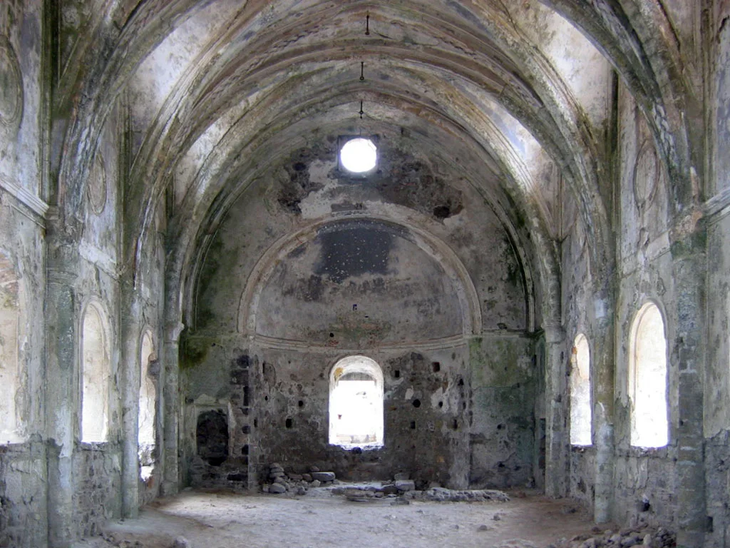
An abandoned church
Kayakoy
Kayaköy is a mostly abandoned neighbourhood in the district of Fethiye, Muğla Province, Turkey.
Ancient Episcopal Roots in Lycia
Before its modern abandonment, the settlement held deep classical and clerical roots under the ancient name Lebessus. Byzantine ecclesiastical records from about 640 under Emperor Heraclius confirm it served as a suffragan bishopric of Myra in Lycia. Although the town evolved across Roman and Byzantine eras, the Catholic Church still lists the former settlement as a titular see.
From Wikipedia · CC BY-SA 4.0
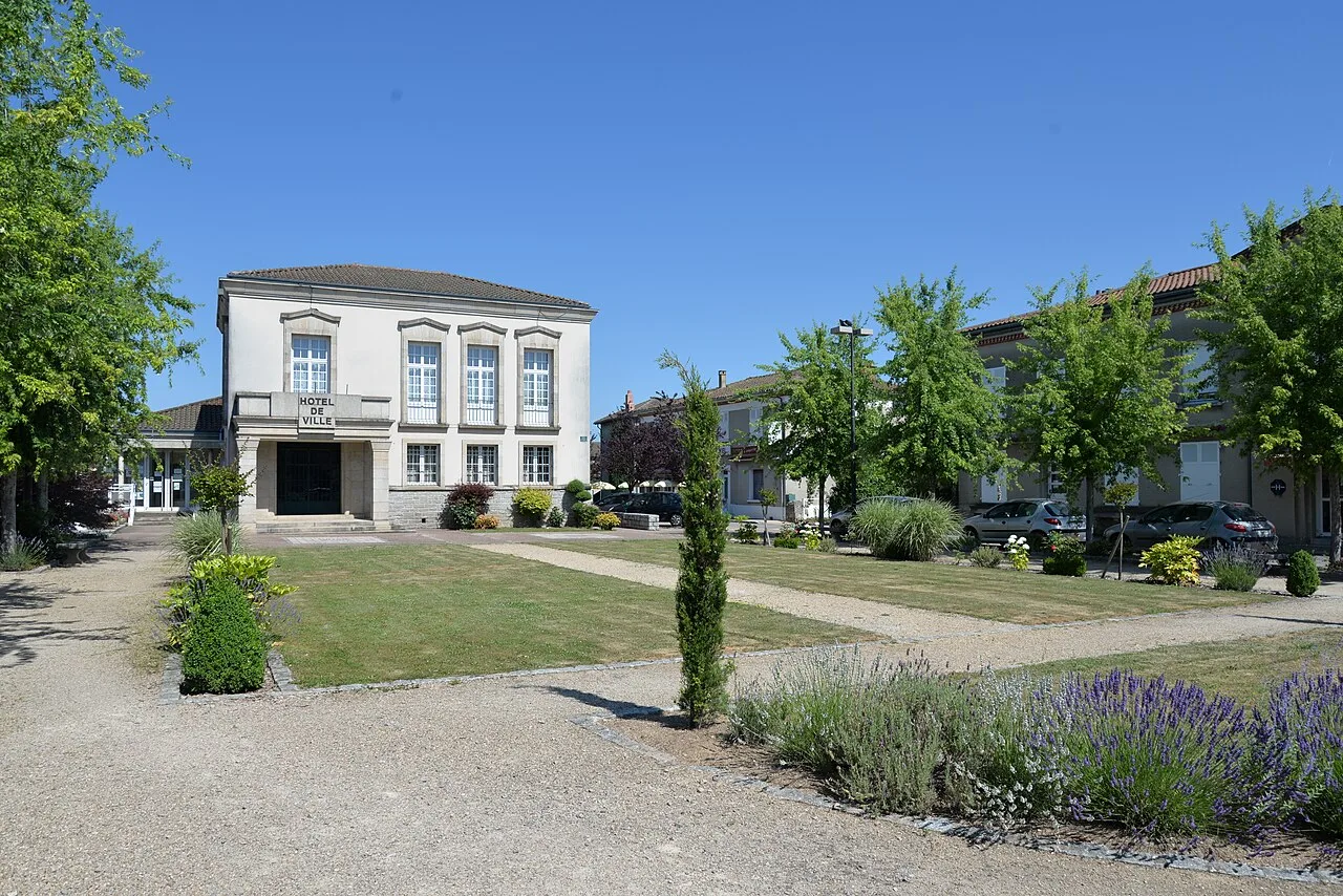
Oradour-sur-Glane Town Hall
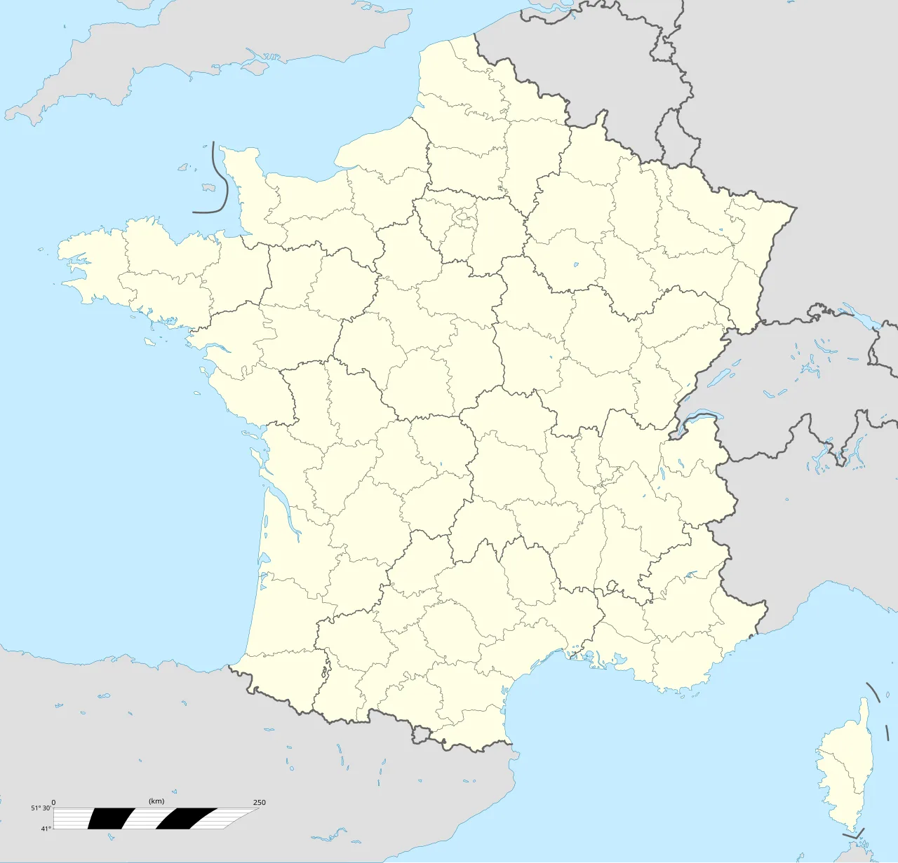
Oradour-sur-Glane is located in France
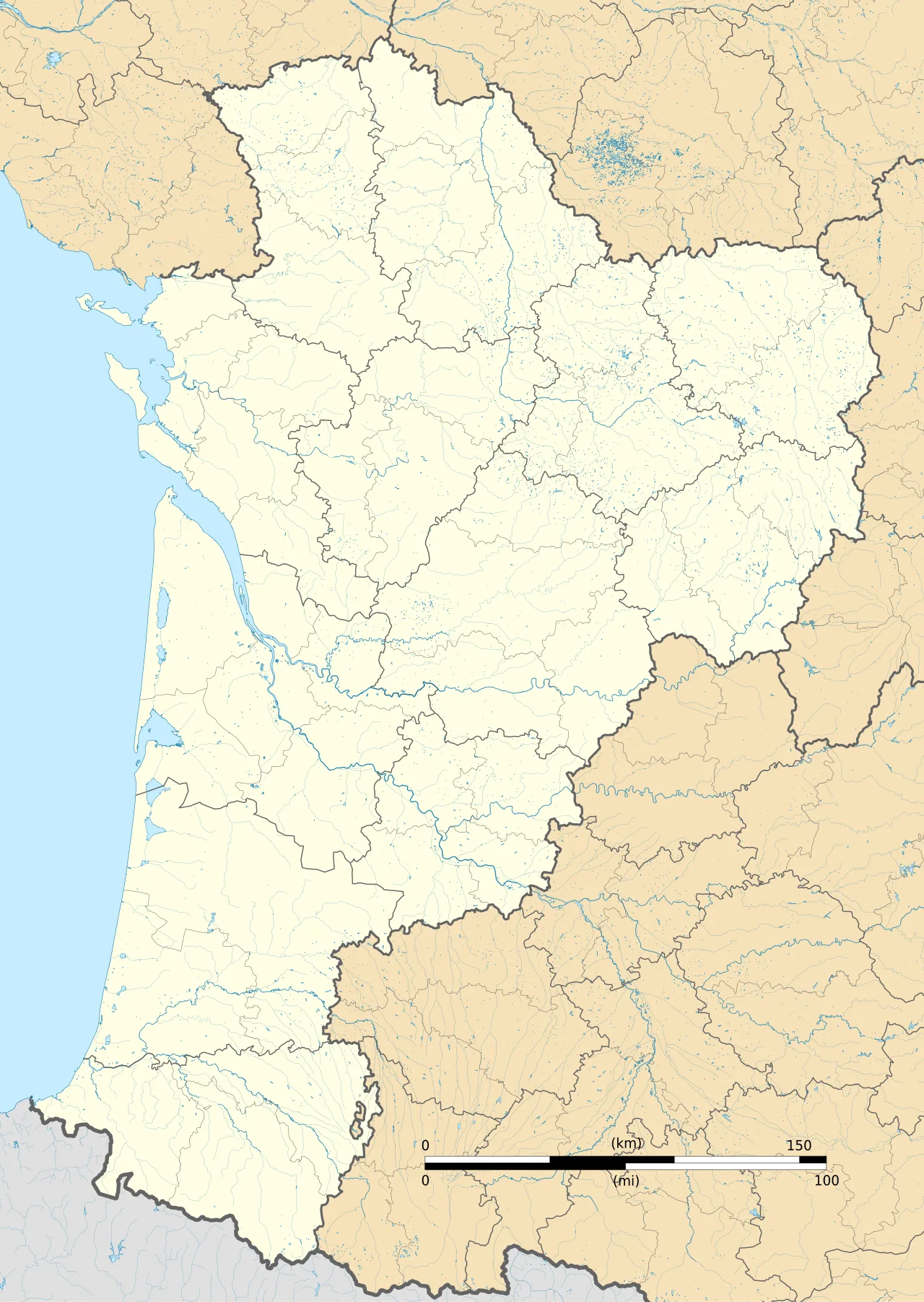
Oradour-sur-Glane is located in Nouvelle-Aquitaine
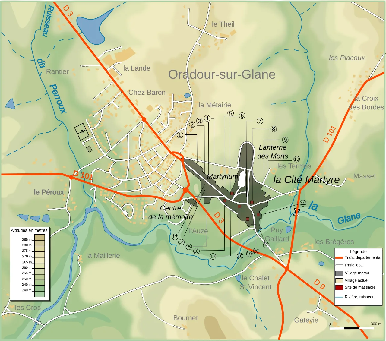
Map showing modern and former village
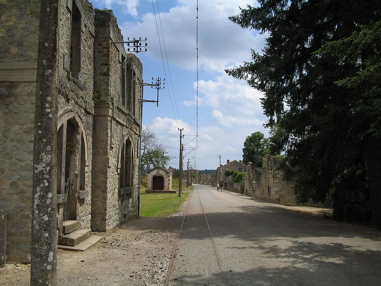
Details of rails and catenary of the tramway.
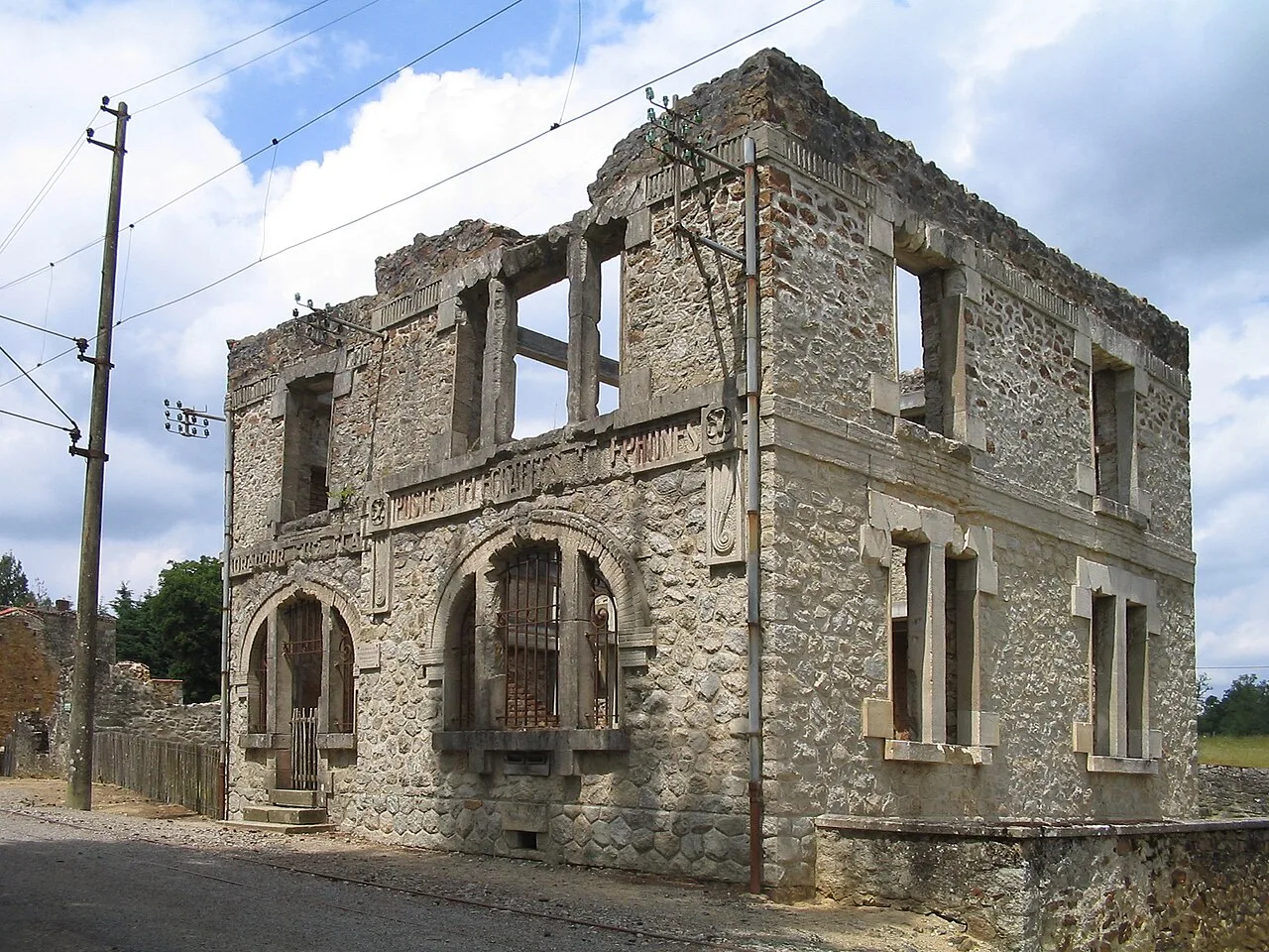
Post office
Oradour-sur-Glane
Oradour-sur-Glane is a commune and village located in the Haute-Vienne department of Nouvelle-Aquitaine in west-central France.
A Fatal Navigation Error
The destruction of Oradour-sur-Glane was triggered by a disastrous navigation mistake rather than deliberate intelligence. SS Sturmbannführer Adolf Diekmann sought to target Oradour-sur-Vayres, a town suspected of supplying food and shelter to the Maquis. Taking a wrong turn on the road, his regiment arrived at Oradour-sur-Glane instead. The innocent community had never supported the resistance movement.
From Wikipedia · CC BY-SA 4.0