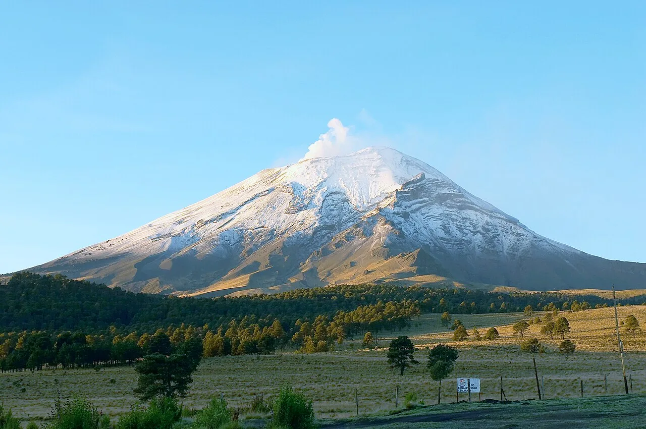
Mexico-Popocatepetl
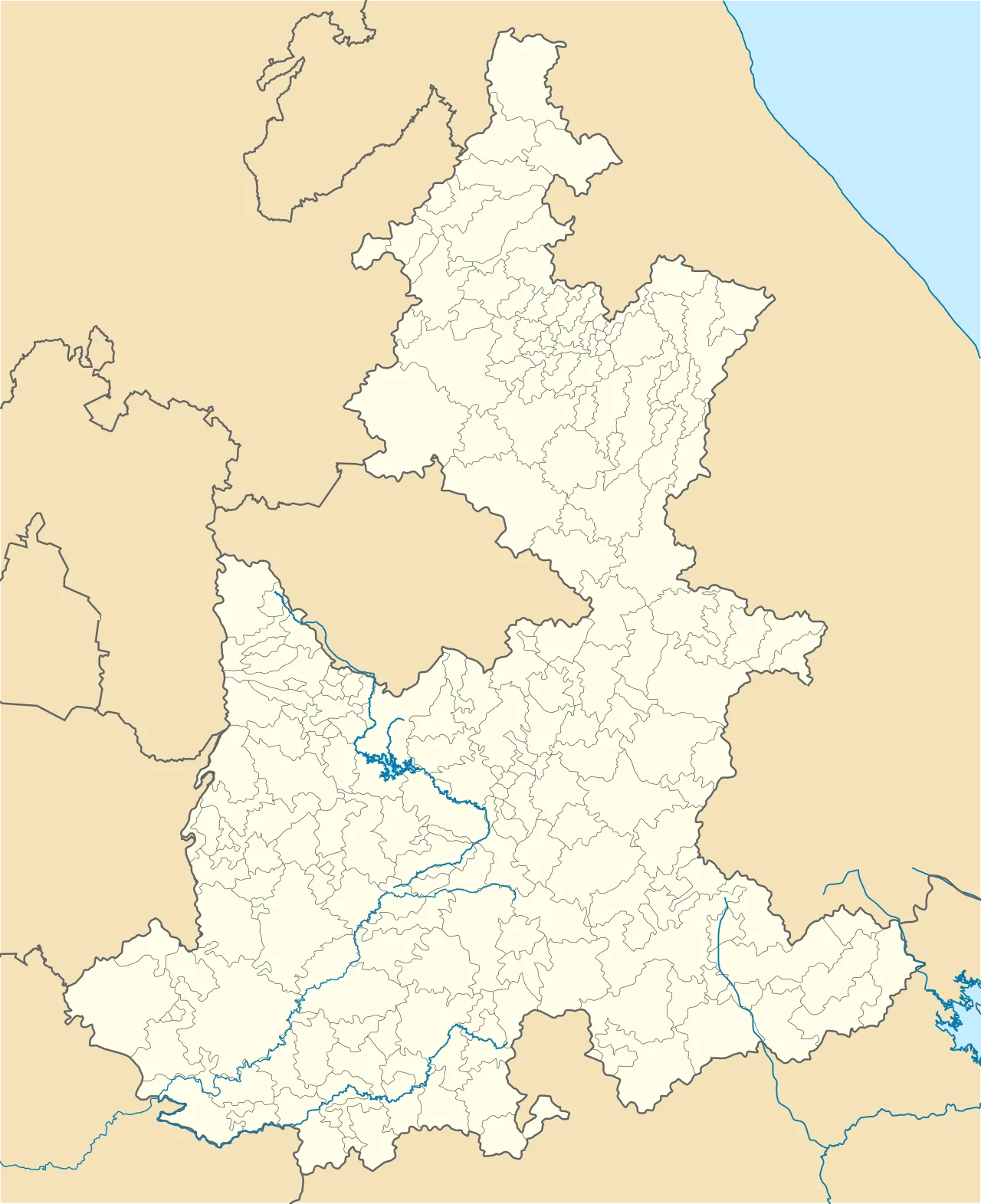
Popocatépetl is located in Puebla (state)
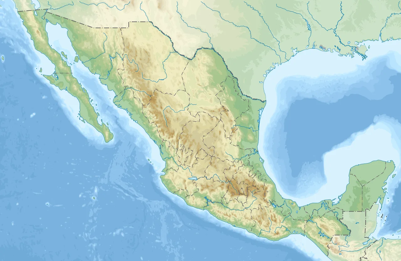
Popocatépetl is located in Mexico
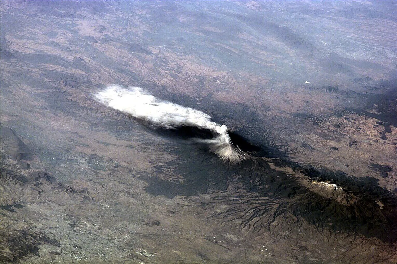
International Space Station view of Popocatépetl sending plume of volcanic ash south 23 January 2001, Iztaccíhuatl at right
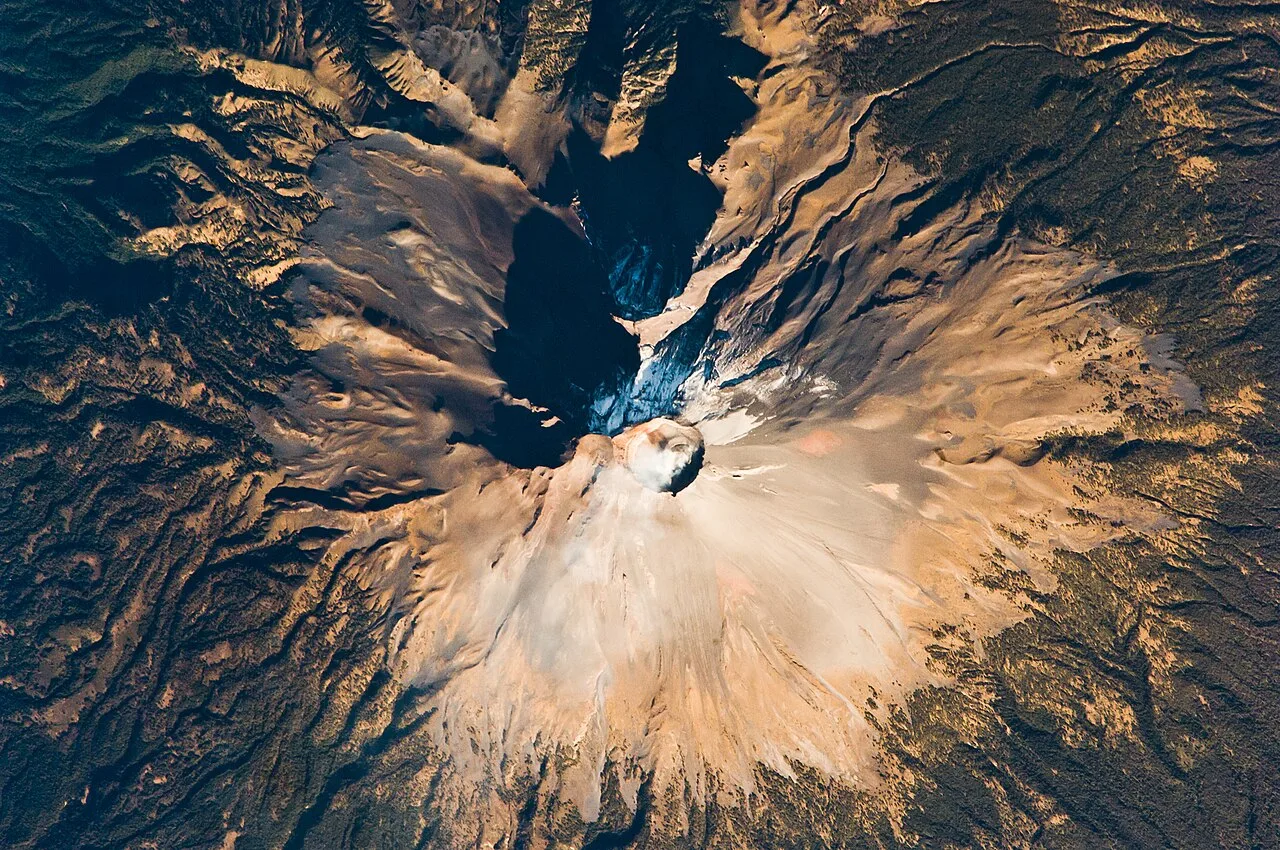
Seen from the International Space Station in February 2009
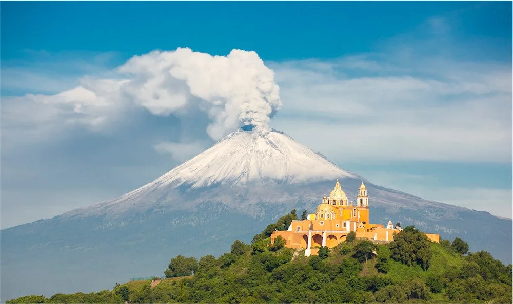
Iglesia de Nuestra Señora de los Remedios atop Great Pyramid (Tlalchihualtépetl) in Cholula, Puebla, with the volcano in the background
Popocatépetl
Popocatépetl is an active stratovolcano in central Mexico and the second-highest peak in the country. It lies in the eastern half of the Trans-Mexican Volcanic Belt.
Don Goyo's Warning: The Volcano as a Cranky Old Man
Locals don't just fear Popocatépetl; they treat it as a sentient elder. The nickname 'Don Goyo' comes from San Gregorio, and legend holds that a villager once met a man named Gregorio Chino Popocatépetl, the volcano's spirit, who warns of eruptions. Every 12 March, offerings of flowers and food are brought to the mountain. This relationship inverts the typical disaster narrative—communities aren't passive victims but partners in a tense but managed coexistence.
From Wikipedia · CC BY-SA 4.0
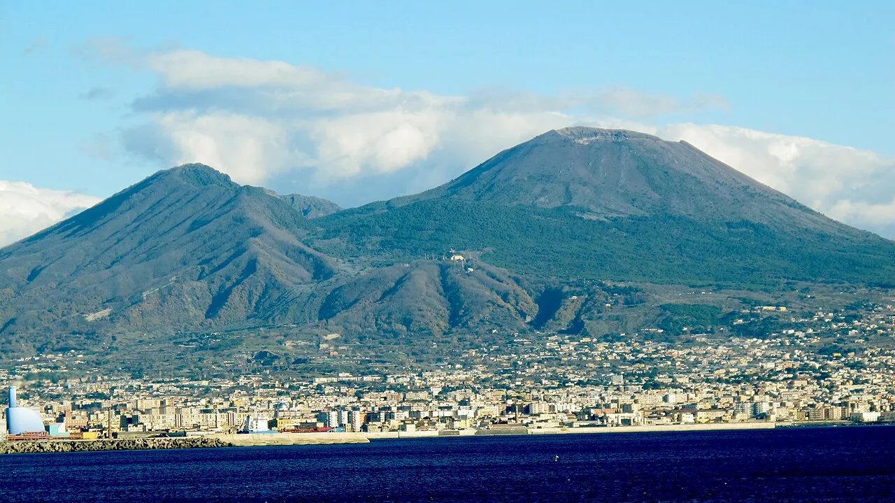
Il cratere del Vulcano - panoramio
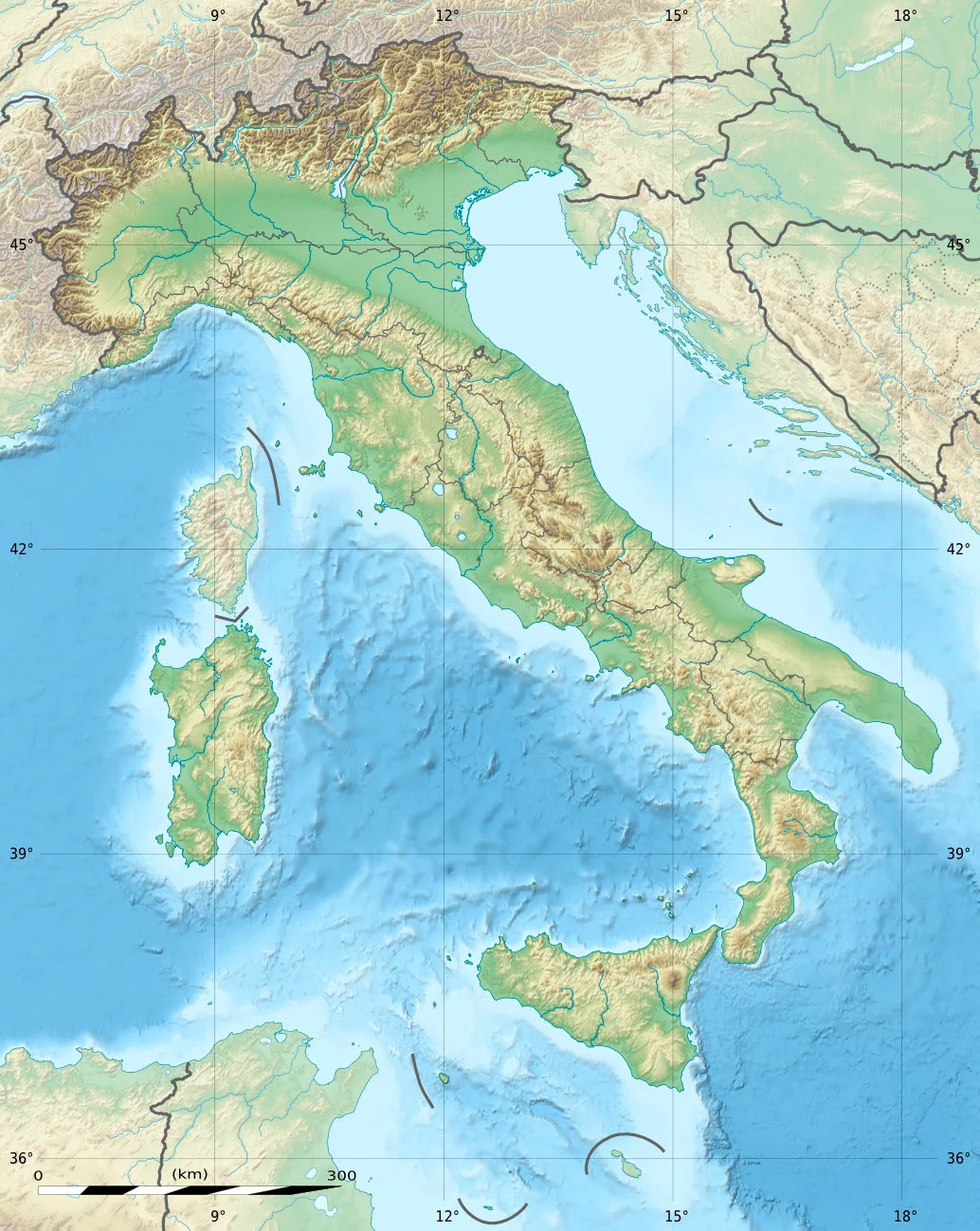
Mount Vesuvius is located in Italy
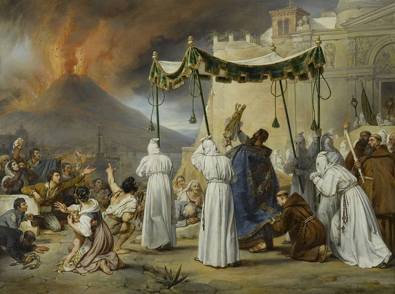
Procession of Saint Januarius During an Eruption of Vesuvius by Antoine Jean-Baptiste Thomas, 1822
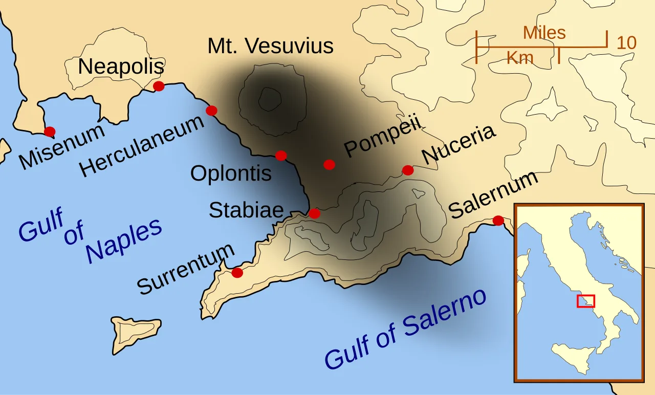
Pompeii and Herculaneum, as well as other cities affected by the eruption of Mount Vesuvius. The black cloud represents the general distribution of ash, pumice and cinders. Modern coast lines are shown.
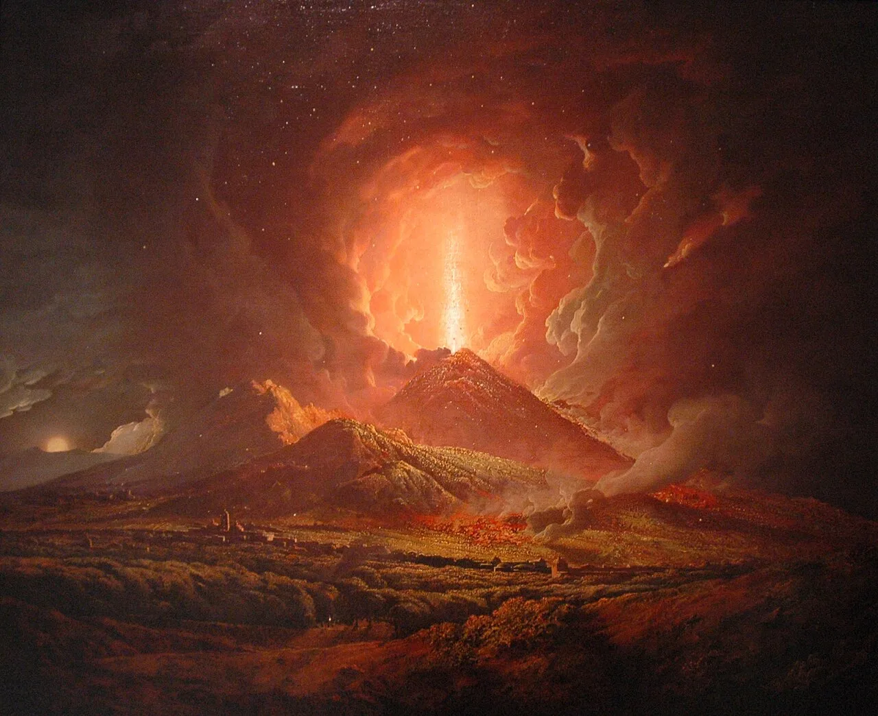
An eruption of Vesuvius seen from Portici, by Joseph Wright (c. 1774–6)
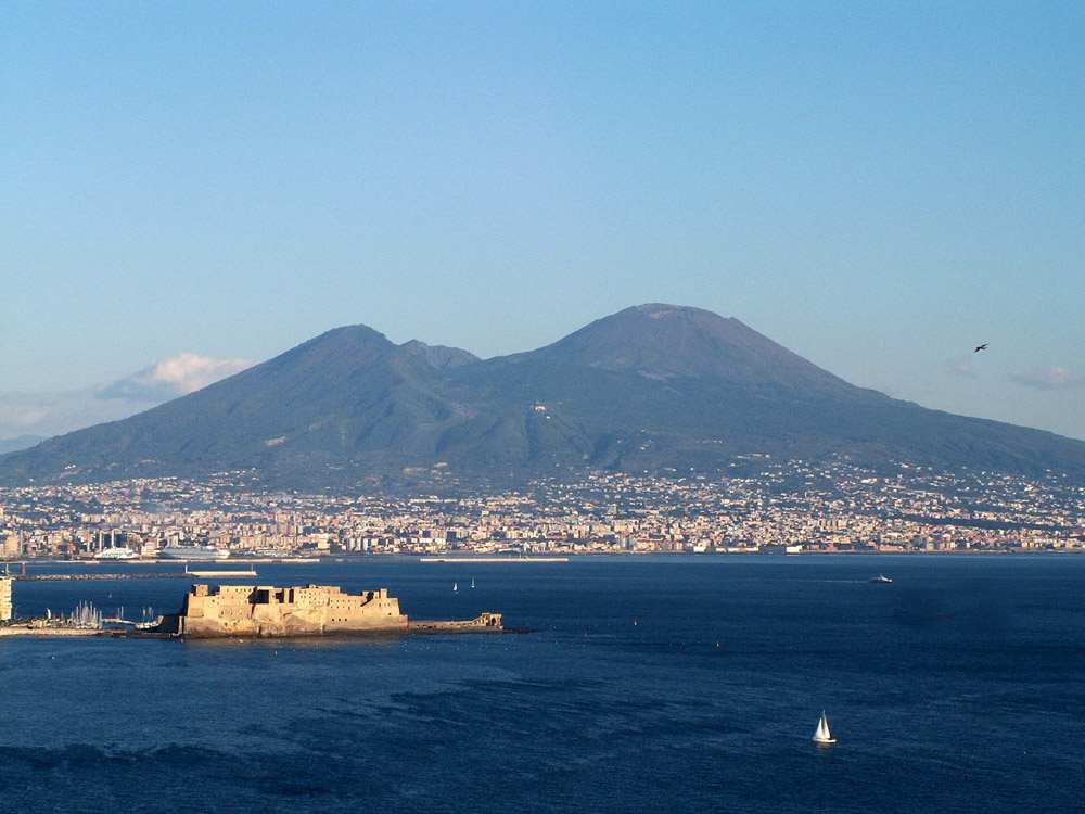
The area around the volcano is now densely populated.
Mount Vesuvius
Mount Vesuvius is a somma–stratovolcano located on the Gulf of Naples in Campania, Italy. It is one of several volcanoes forming the Campanian volcanic arc.
Bronze Age Footprints Frozen in Ash
Long before Pompeii, a major eruption buried Bronze Age settlements in a remarkably preserved state. Italian archaeologists working near Nola recovered perishable artifacts like fence rails and a bucket by filling cavities with plaster. They also discovered thousands of human footprints pointing into the Apennines, left by villagers who hastily abandoned their homes before being buried under pumice and ash.
From Wikipedia · CC BY-SA 4.0
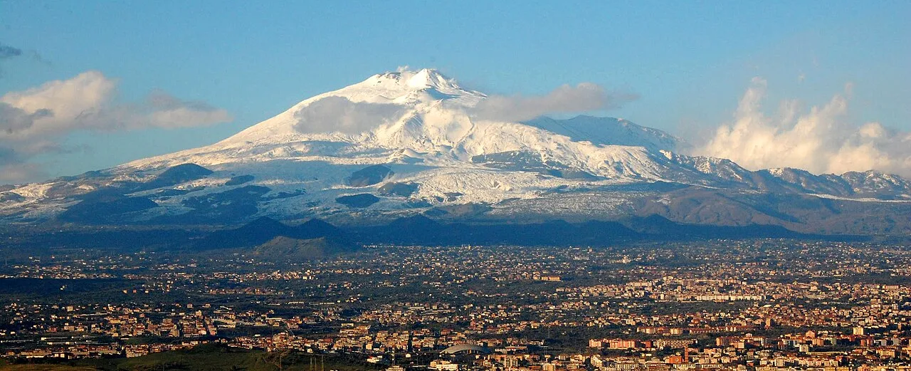
Mt Etna and Catania1
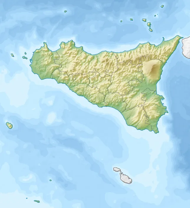
Mount Etna is located in Sicily
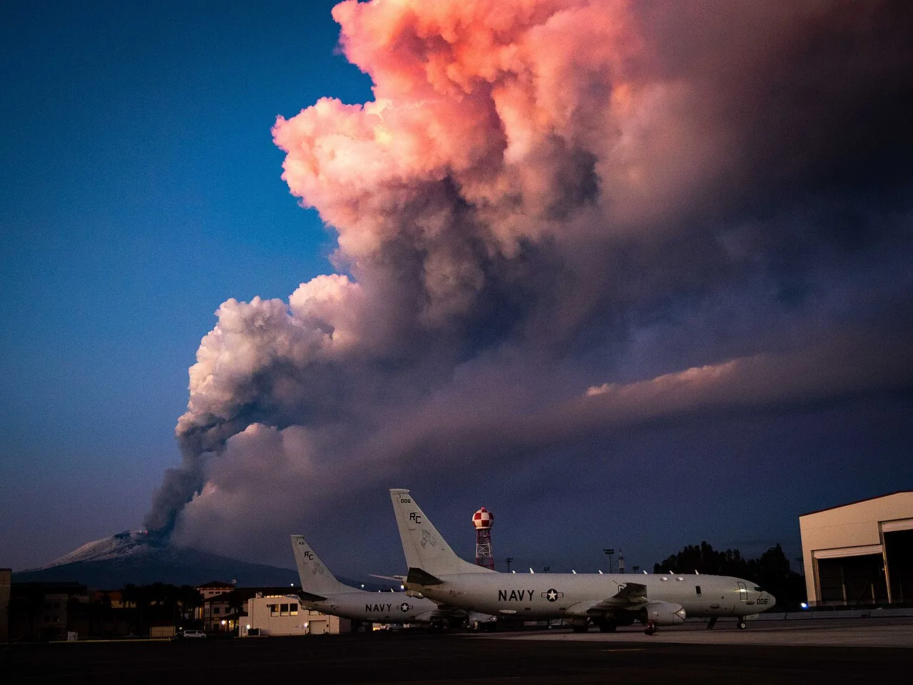
February 2021 eruption seen from Naval Air Station Sigonella
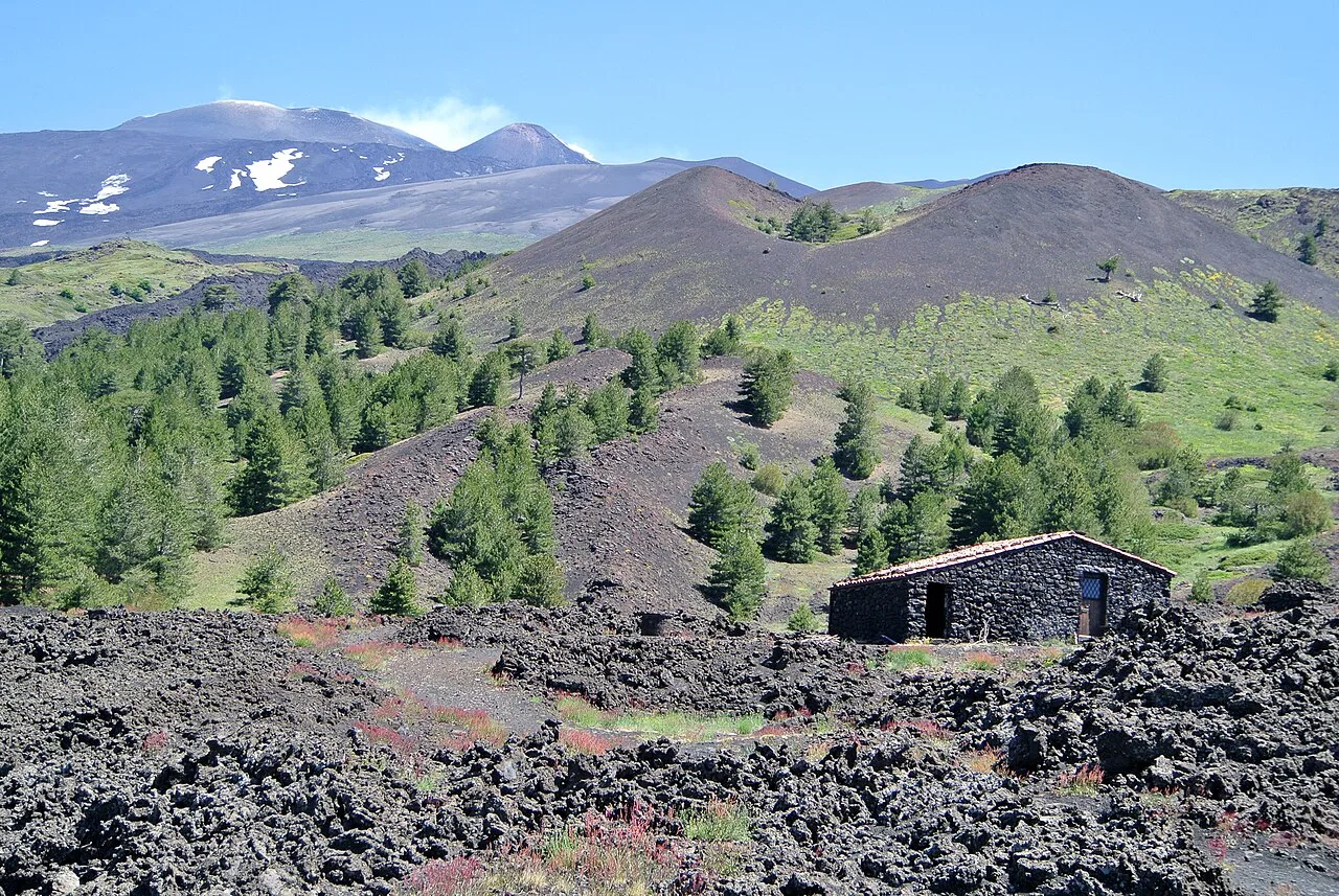
Mount Etna from the south with the smoking peak in the upper left and a lateral crater in the centre
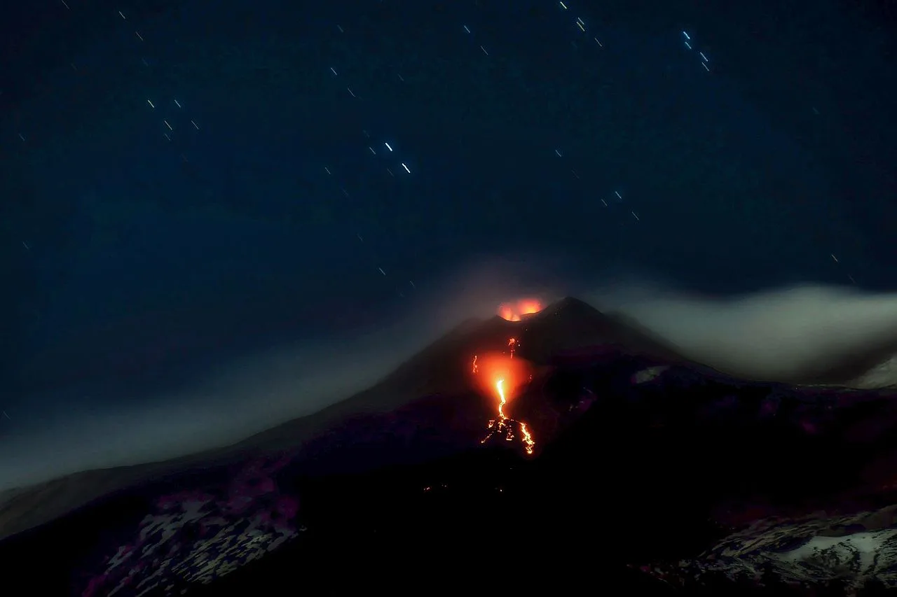
Long exposure image of a "dual-vent" eruption from Mount Etna's NSEC (New South East Crater)
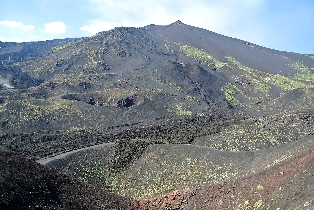
Southern flank of Mount Etna showing lateral cones and flow from the eruption of 2001
Mount Etna
Mount Etna is an active stratovolcano on the east coast of Sicily, Italy. It is one of the tallest active volcanoes in Europe and the tallest peak in Italy south of the Alps.
A Sliding Massif and an Ancient Mediterranean Tsunami
Mount Etna is not fixed solidly in place upon the Sicilian coastline. Research published in 2006 indicates that roughly 8,000 years ago, a massive collapse triggered a devastating tsunami across the eastern Mediterranean. Furthermore, the entire volcanic massif is actively sliding across an unconsolidated layer toward the Mediterranean Sea at an average speed of 14 mm per year. This gradual seaward movement shows that the volcano's massive geological foundation remains in constant motion.
From Wikipedia · CC BY-SA 4.0
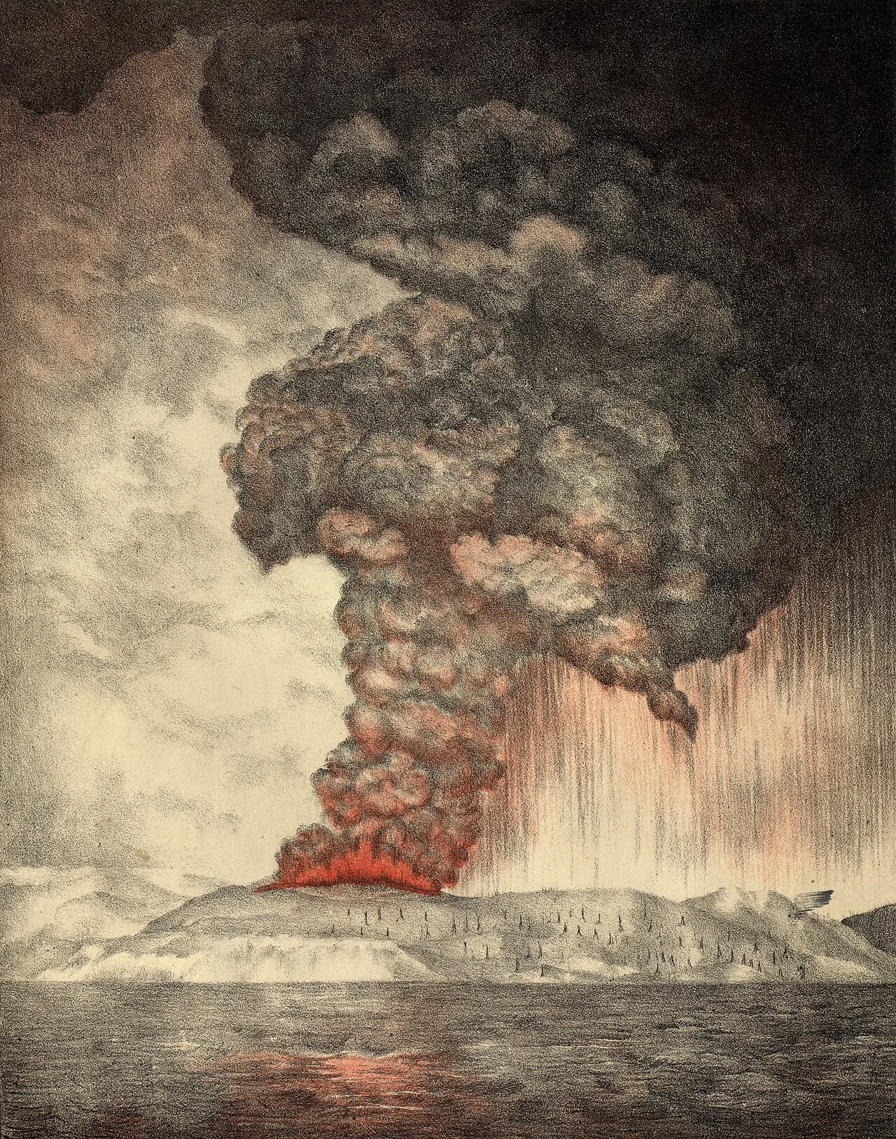
Krakatoa eruption lithograph
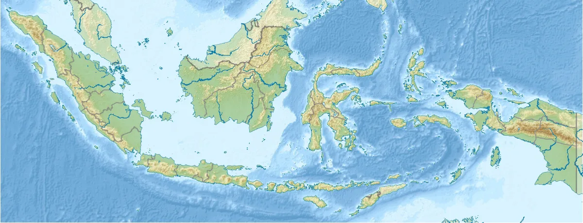
Krakatoa is located in Indonesia
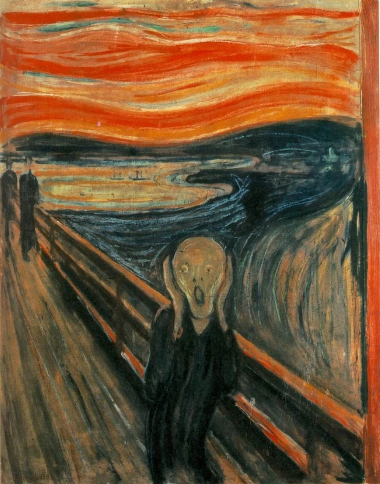
In 2004, an astronomer suggested that the blood-red sky shown in Edvard Munch's famous 1893 painting The Scream depicts the sky over Norway after the eruption.[3]
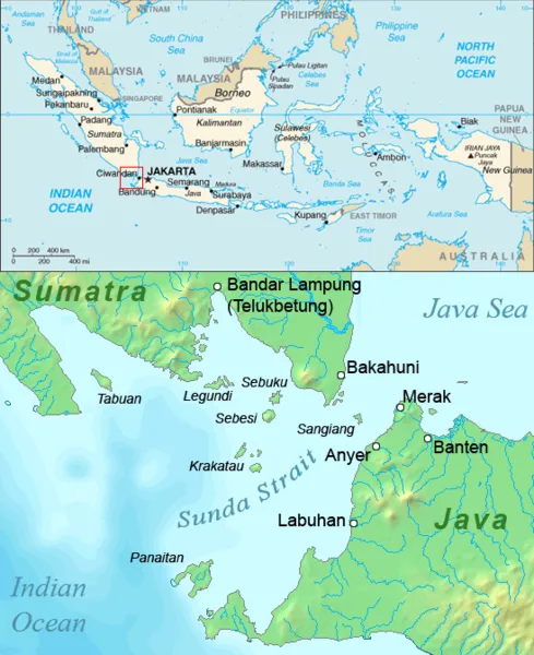
The Sunda Strait
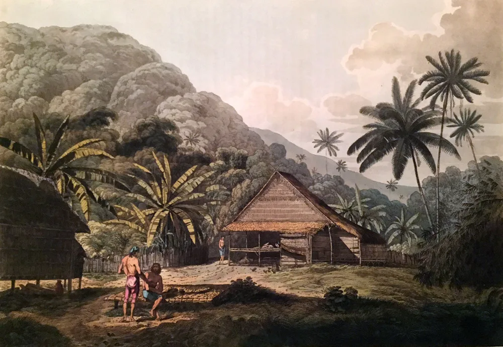
In 1780, crew members of HMS Discovery found the island as a friendly place whose vegetation was dense and lush; illustration by John Webber (1751–1793)
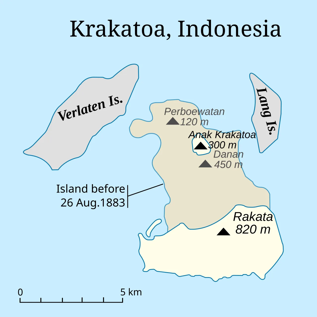
Two-thirds of the original Krakatoa Island was obliterated by the 1883 eruption.
Krakatoa
Krakatoa is a caldera in the Sunda Strait between Java and Sumatra in Indonesia, forming part of a volcanic island group.
Sanskrit Crustaceans and the Name's Provenance
Sanskrit words for crab, such as karka, karkaṭa, or karkaṭaka, provide the most probable root for the volcano's name. In Old Javanese, the abbreviated form rakaṭa also carries the same crustacean definition. Early historical records, such as rakata in Bujangga Manik and carcata on Waghenaer's map, directly mirror this pronunciation rather than accidental linguistic mistakes.
From Wikipedia · CC BY-SA 4.0
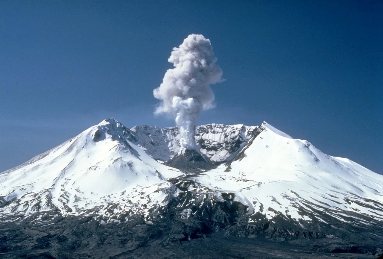
MSH82 st helens plume from harrys ridge 05-19-82
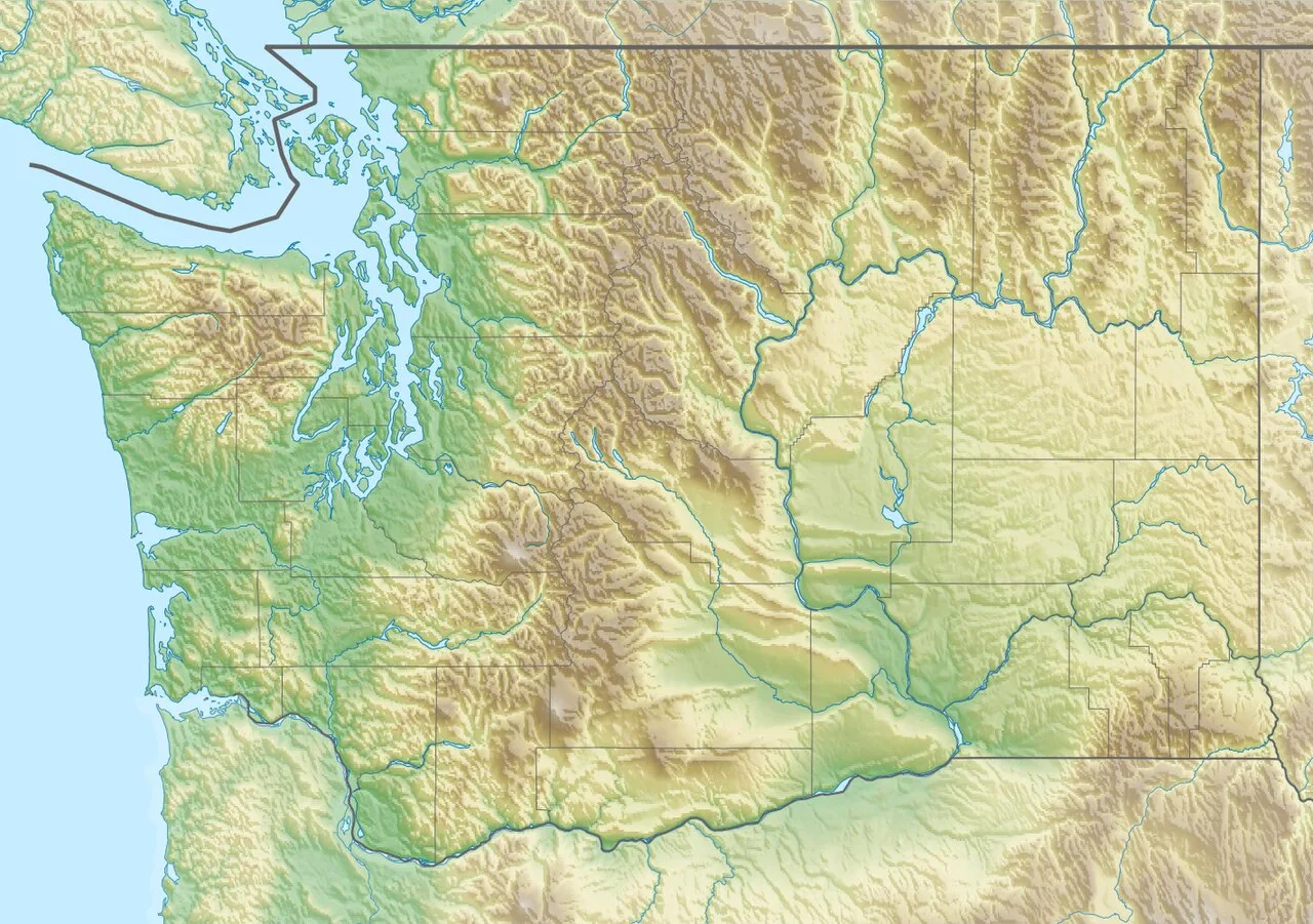
Mount St. Helens is located in Washington (state)
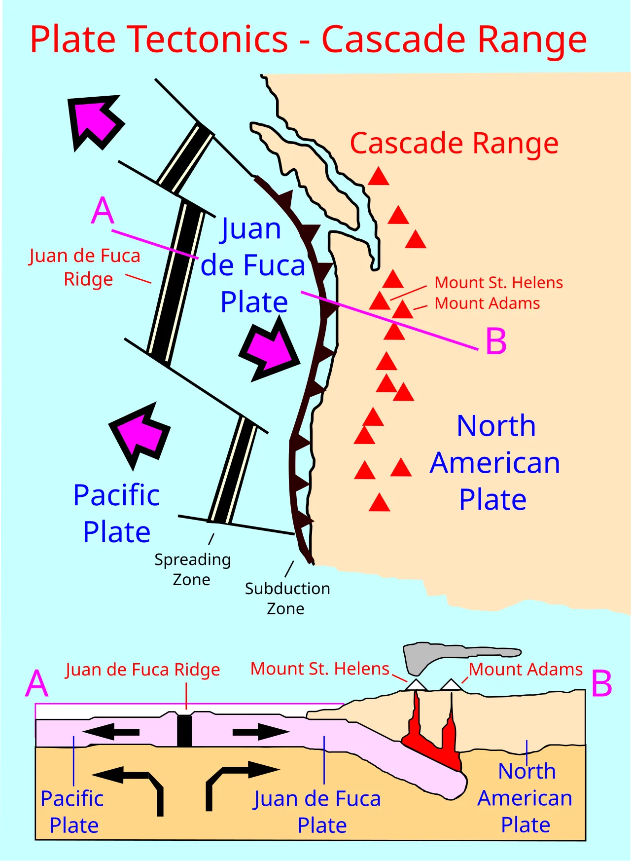
Plate tectonics of the Cascade Range
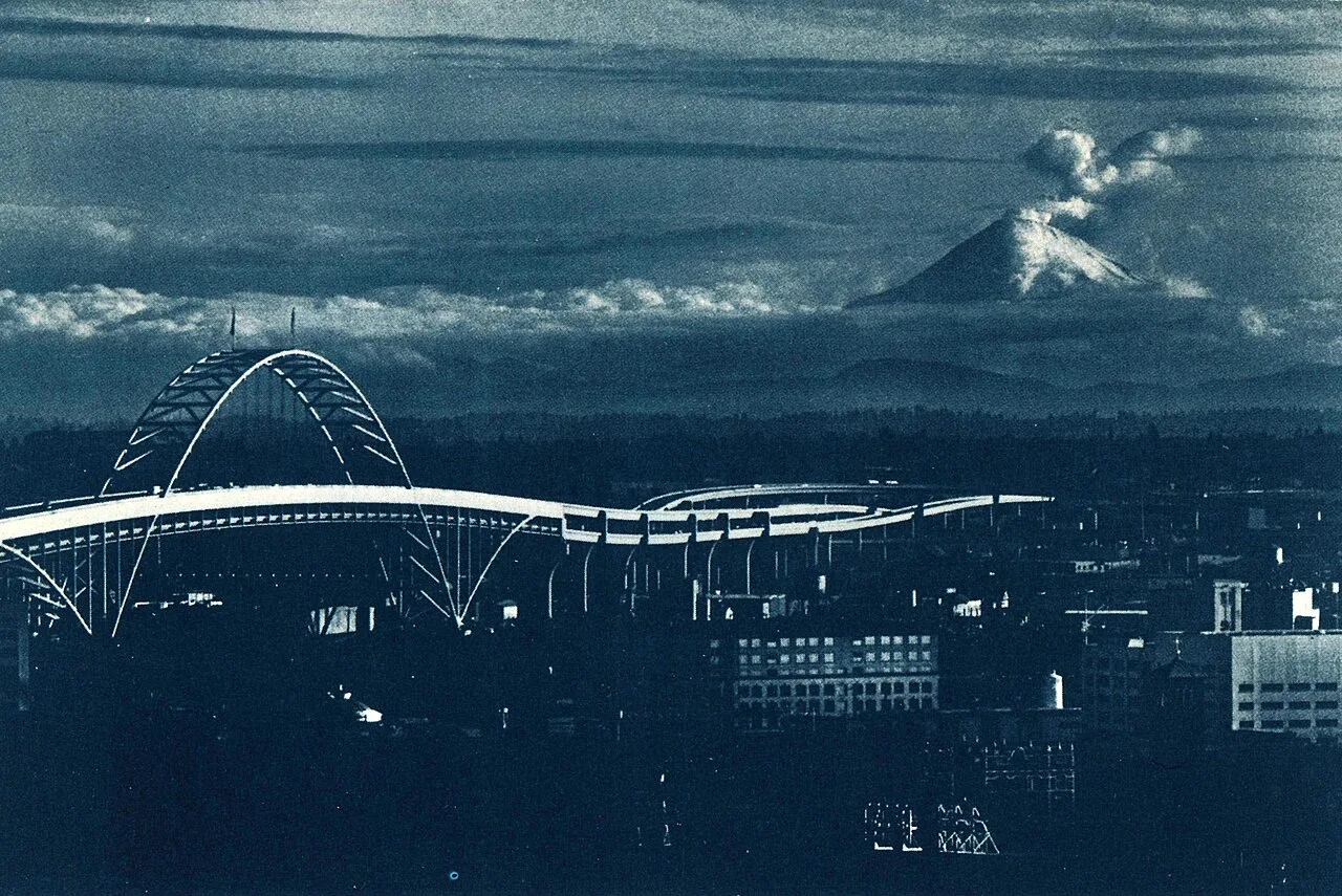
Mount St. Helens during an eruption prior to May 18, as viewed from Portland, Oregon. The Fremont Bridge is visible in the bottom left corner.
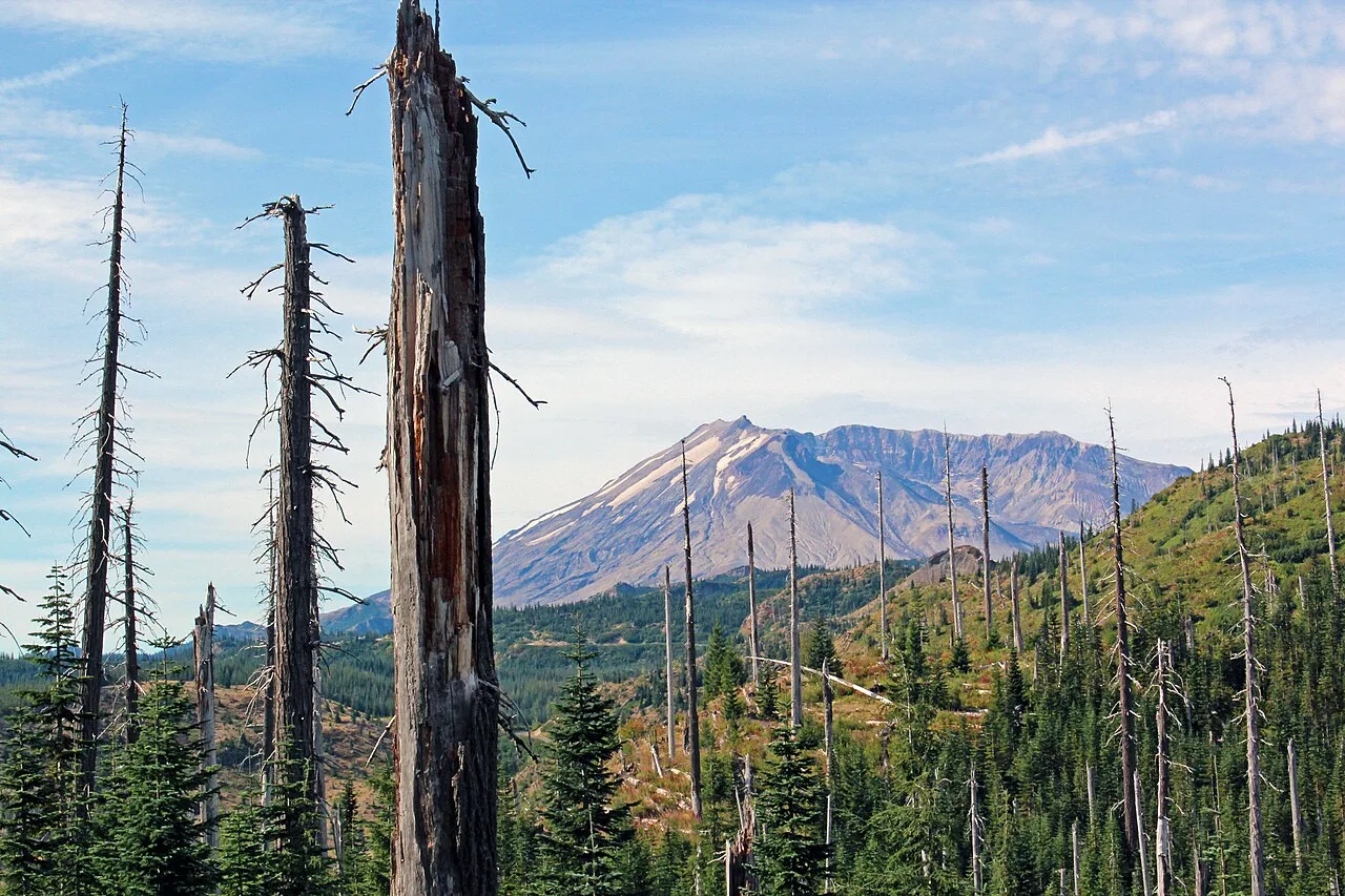
Twenty years after the 1980 eruption, trees killed by the blast were still standing.
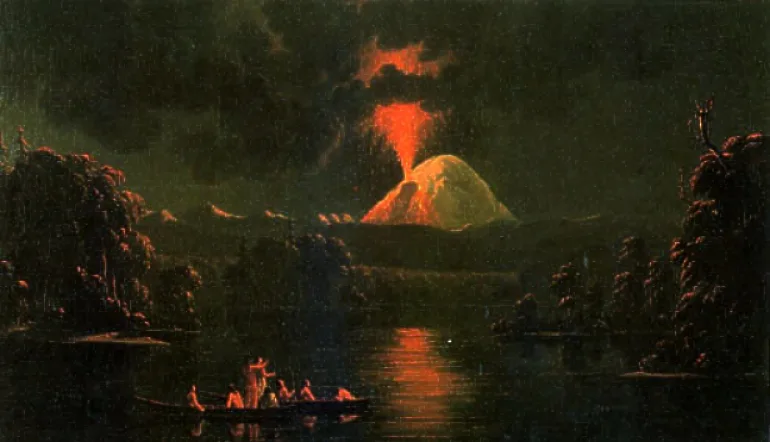
Painting by Paul Kane Mount St. Helens erupting at night after his 1847 visit to the area
Mount St. Helens
Mount St. Helens is an active stratovolcano located in Skamania County, Washington, in the Pacific Northwest region of the United States.
A Deceptively Modern Cascade Cone
Mount St. Helens is geologically young compared with other Cascade volcanoes. The entire mountain formed only within the past 40,000 years, while its pre-1980 summit cone began rising about 2,200 years ago. This youthful structure was built up rapidly through alternating eruptive stages before the catastrophic collapse of its north face.
From Wikipedia · CC BY-SA 4.0
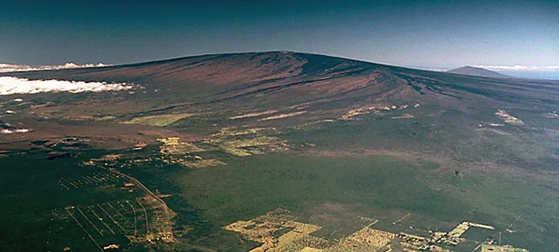
Mauna Loa Volcano
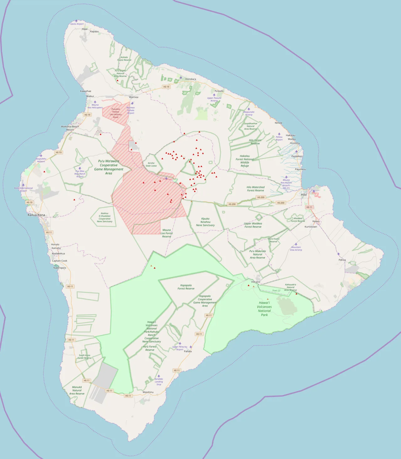
Mauna Loa is located in Hawaii (island)
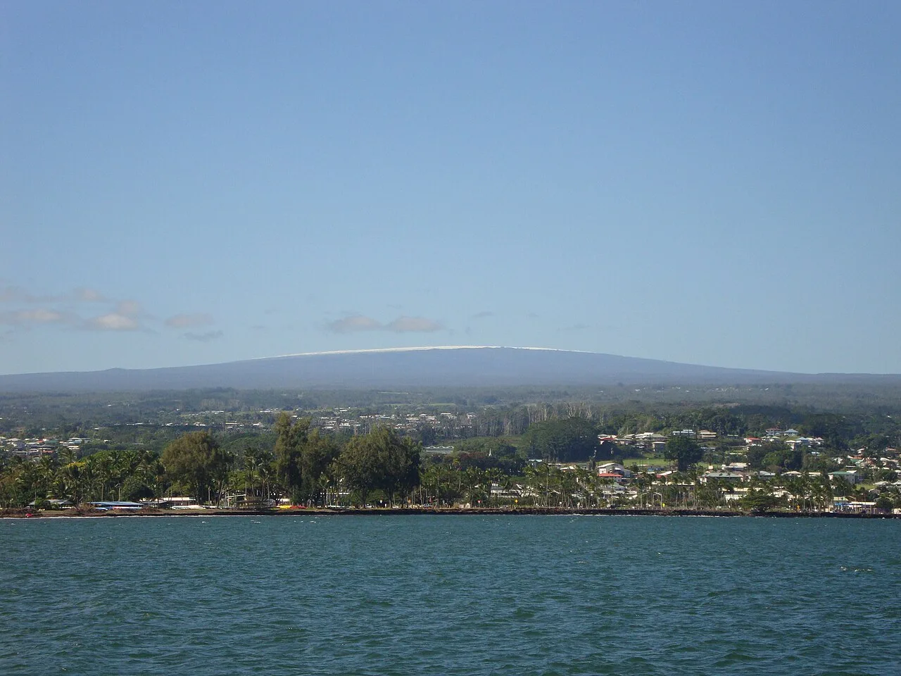
Mauna Loa from Hilo Bay, December 2017
![Captured from Maunakea, this Image features a skyscape of Mauna Loa.[37]](https://nwjvzop1xgplmzvt.public.blob.vercel-storage.com/wikifeed/mauna-loa/3-b79db6ccfc.webp)
Captured from Maunakea, this Image features a skyscape of Mauna Loa.[37]
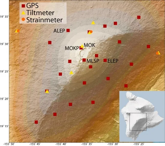
GPS stations, tiltmeters, and strainmeters on Mauna Loa's summit. Not shown: a webcam and a gas detector positioned on the caldera rim.
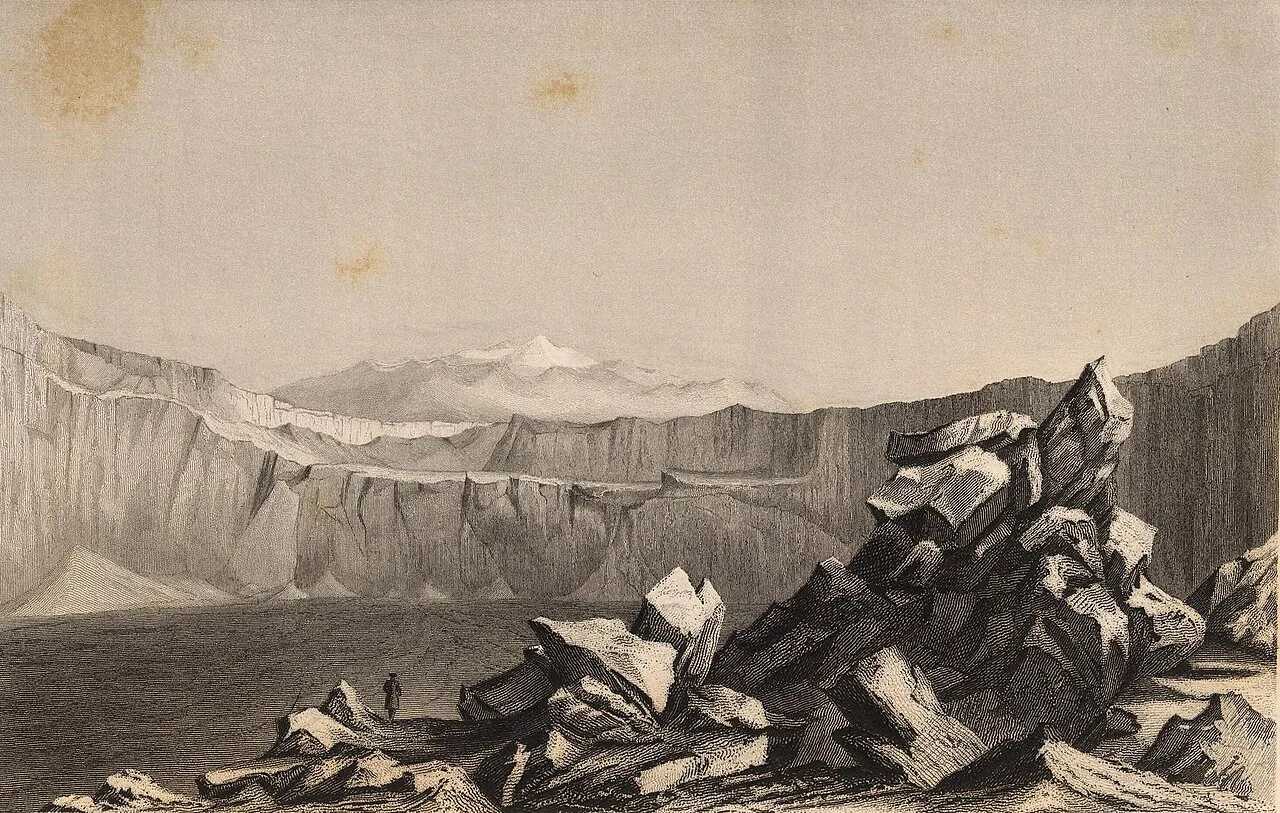
Sketch of Mokuʻāweoweo from Wilkes' journal
Mauna Loa
Mauna Loa is an active shield volcano on the Island of Hawaii and Earth's largest active volcano by mass and volume.
Subterranean Mountain and the 17,000-Meter True Height
While Mount Everest holds the title for terrestrial elevation above sea level, Mauna Loa dwarfs it when measured from base to summit. Rising 9,170 meters from the ocean floor, the shield volcano's colossal mass also depresses the oceanic crust by an additional 8 kilometers in an inverse mountain shape. Accounting for this downward crustal sag, Mauna Loa's full structure spans an astonishing total height of roughly 17,170 meters from its origin.
From Wikipedia · CC BY-SA 4.0
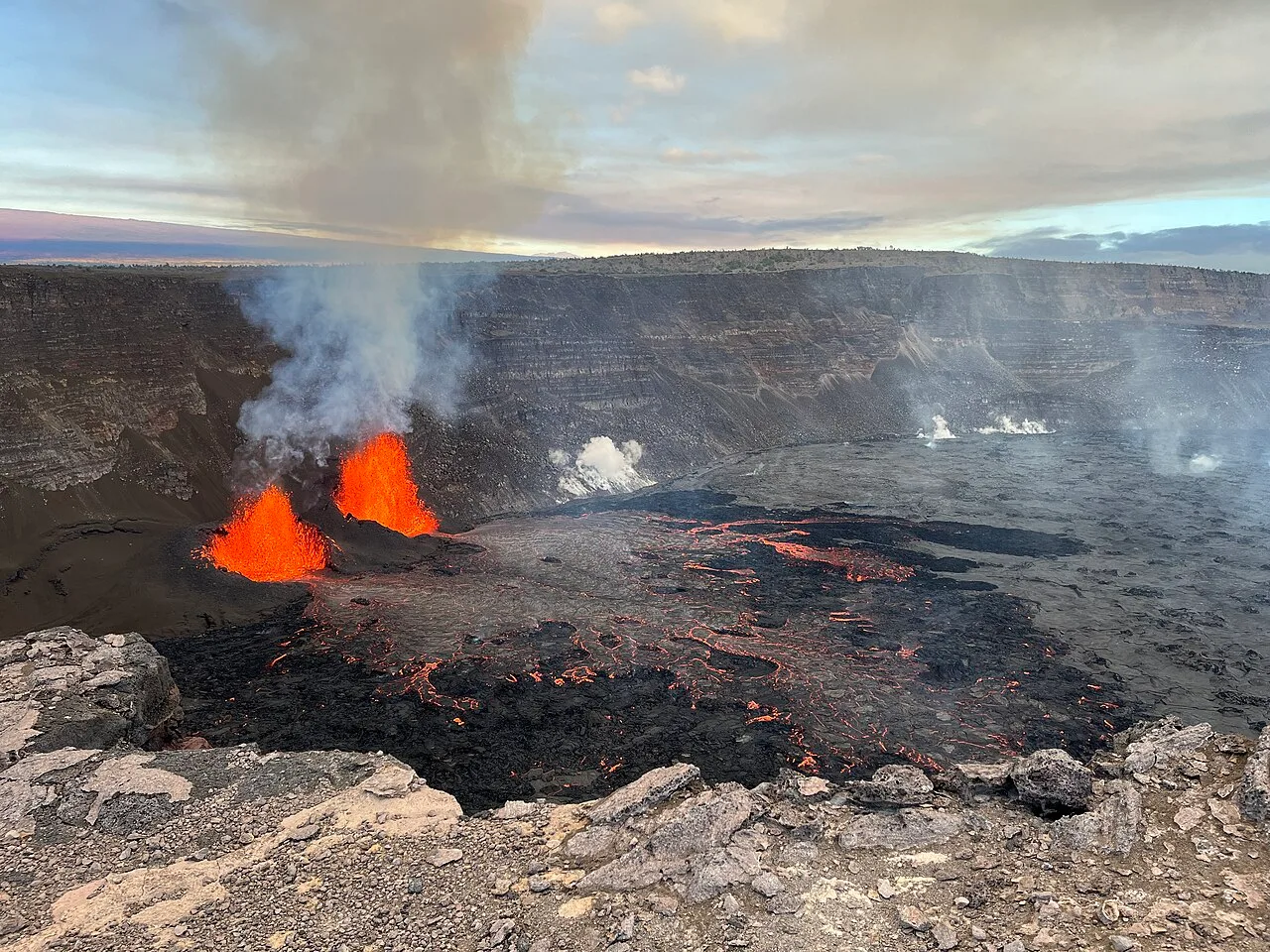
Episode 4 of Kilauea's December 2024 eruption 2025-01-16
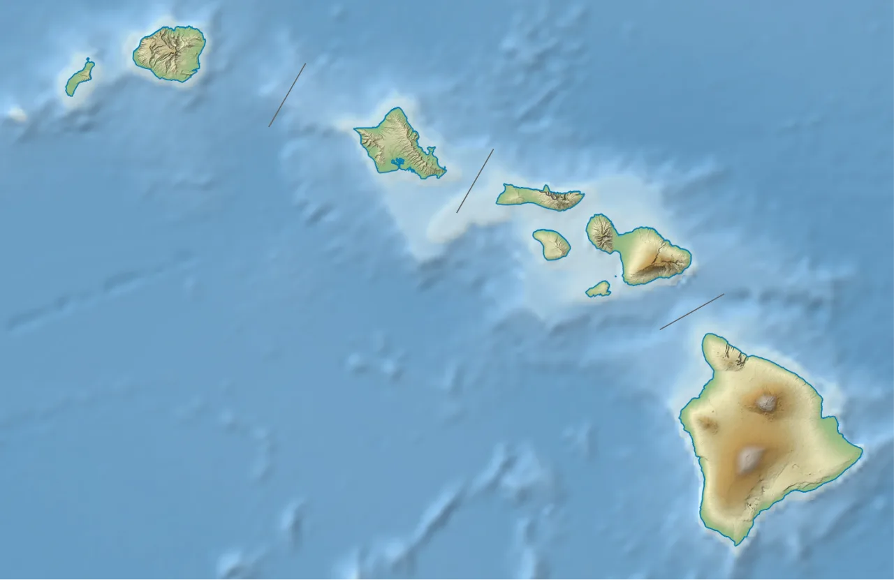
Kīlauea is located in Hawaii
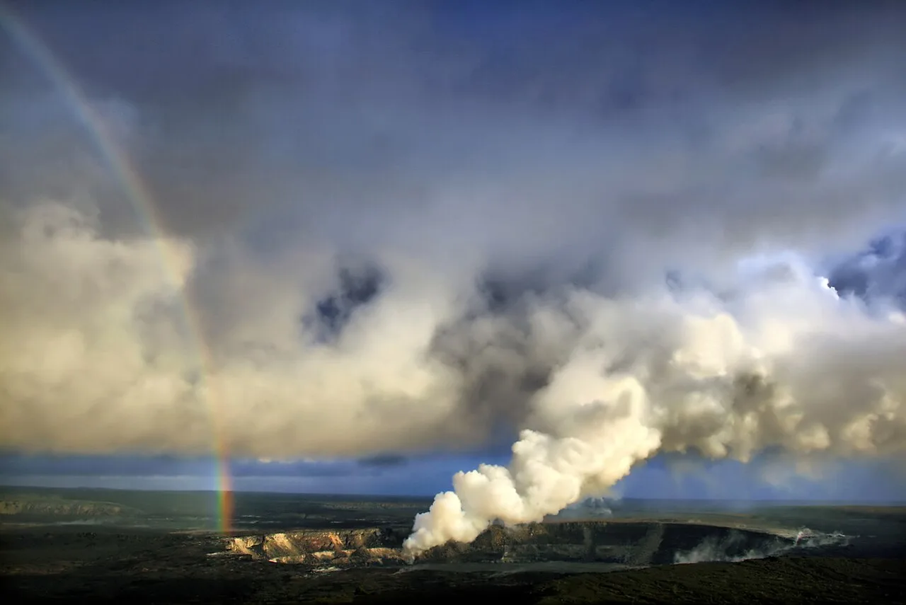
Rainbow and volcanic ash with sulfur dioxide emissions from Halemaʻumaʻu (April 2008)
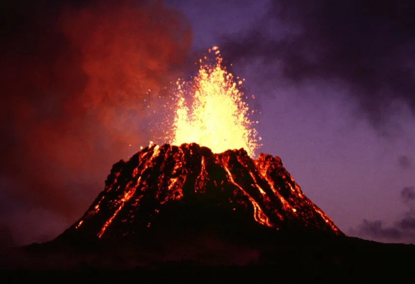
Puʻu ʻŌʻō at dusk, June 1983
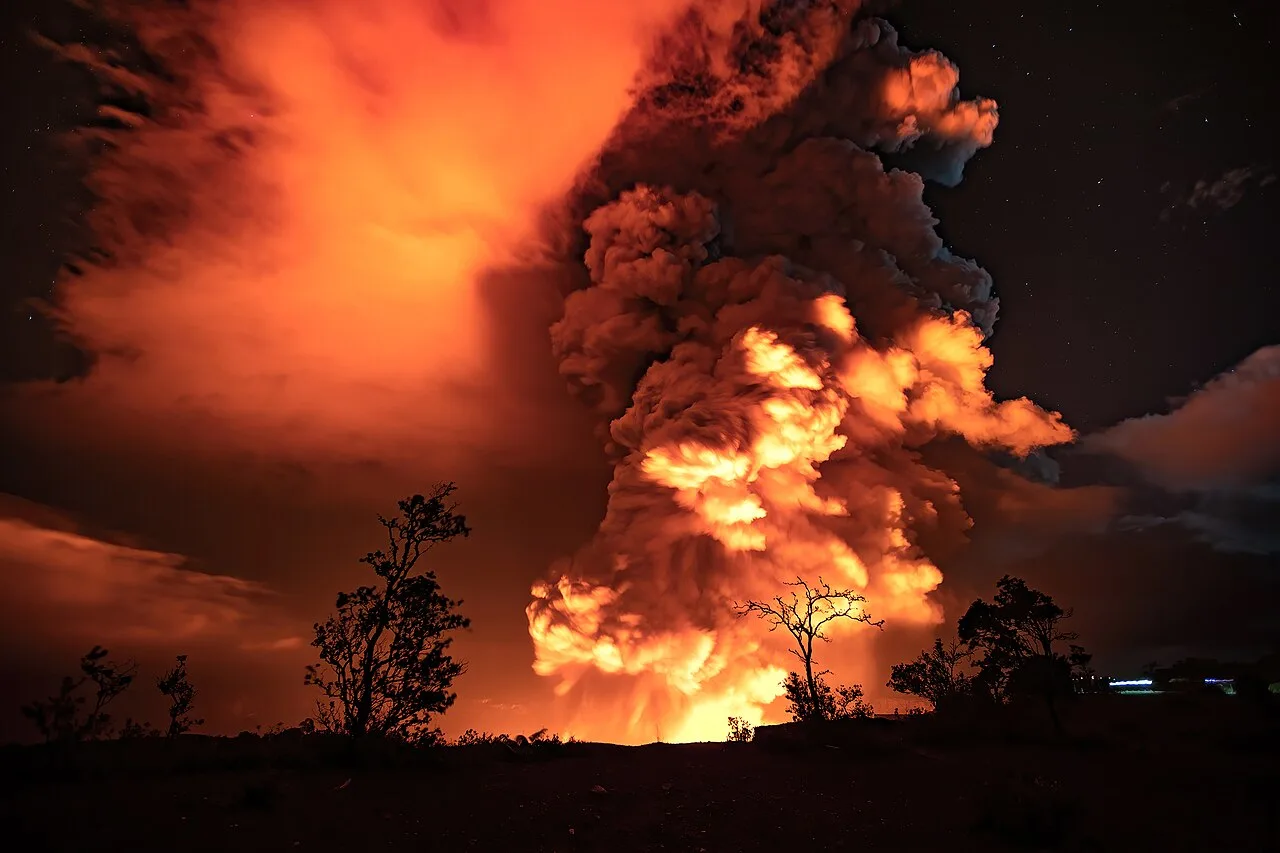
View of the eruption from outside Kaluapele, on December 20, 2020
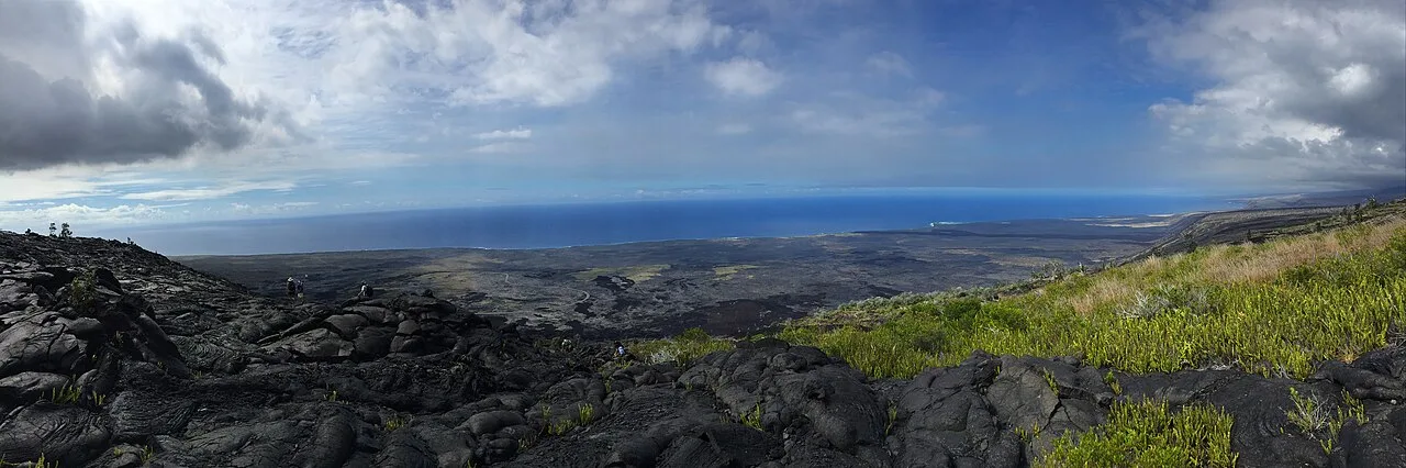
Students collecting GPS data for the USGS in Kīlauea's eastern rift zone in 2015
Kīlauea
Kīlauea is an active shield volcano along the southeastern shore of Hawaii Island and one of the most active volcanoes on Earth.
Submarine Emergence of an Alkali Basalt Seamount
Kīlauea originated as a submarine volcano that grew through underwater eruptions of alkali basalt lava. It finally breached the ocean surface through explosive eruptions roughly 50,000 to 100,000 years ago. Its neighbor on the island flank, Kamaʻehuakanaloa, is even younger and has not yet breached the sea surface.
From Wikipedia · CC BY-SA 4.0
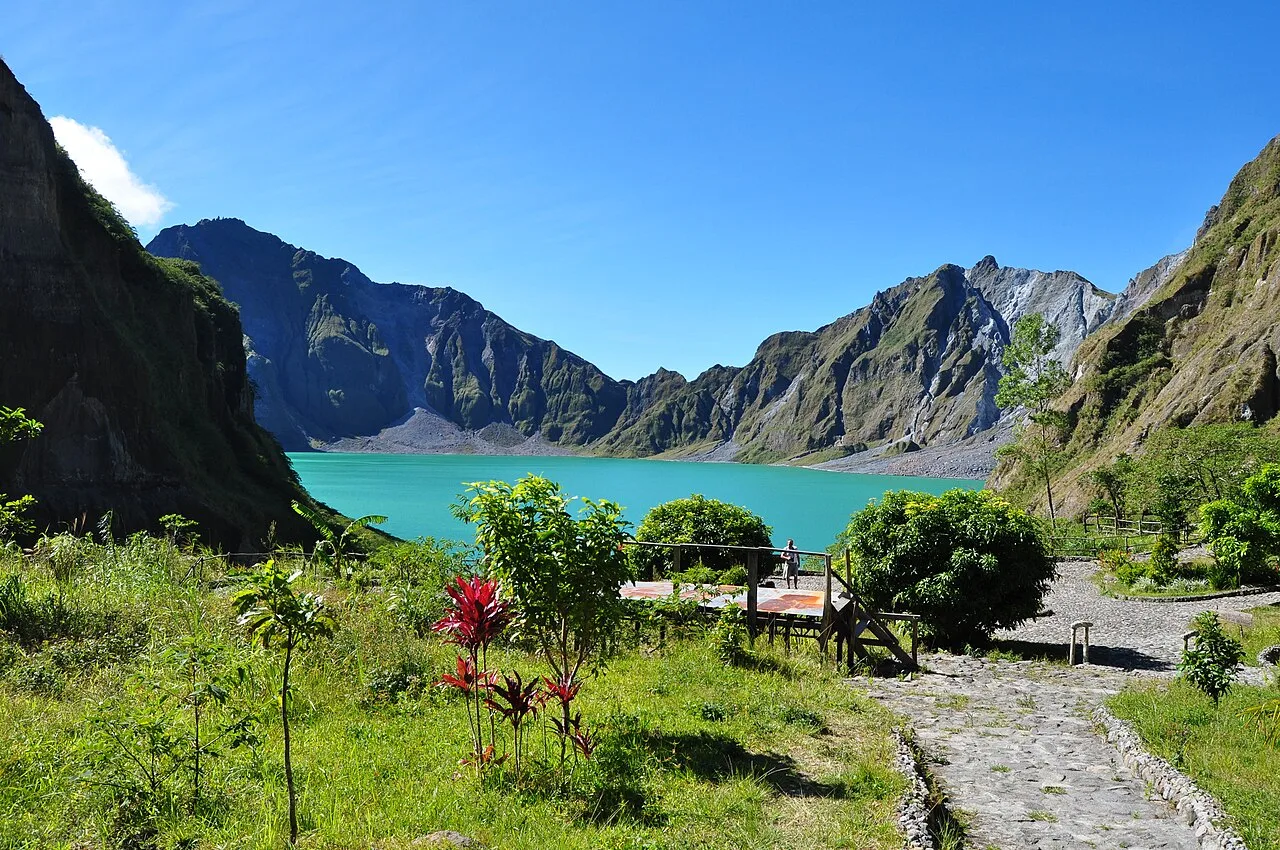
Mt Pinatubo trekking - panoramio (5)
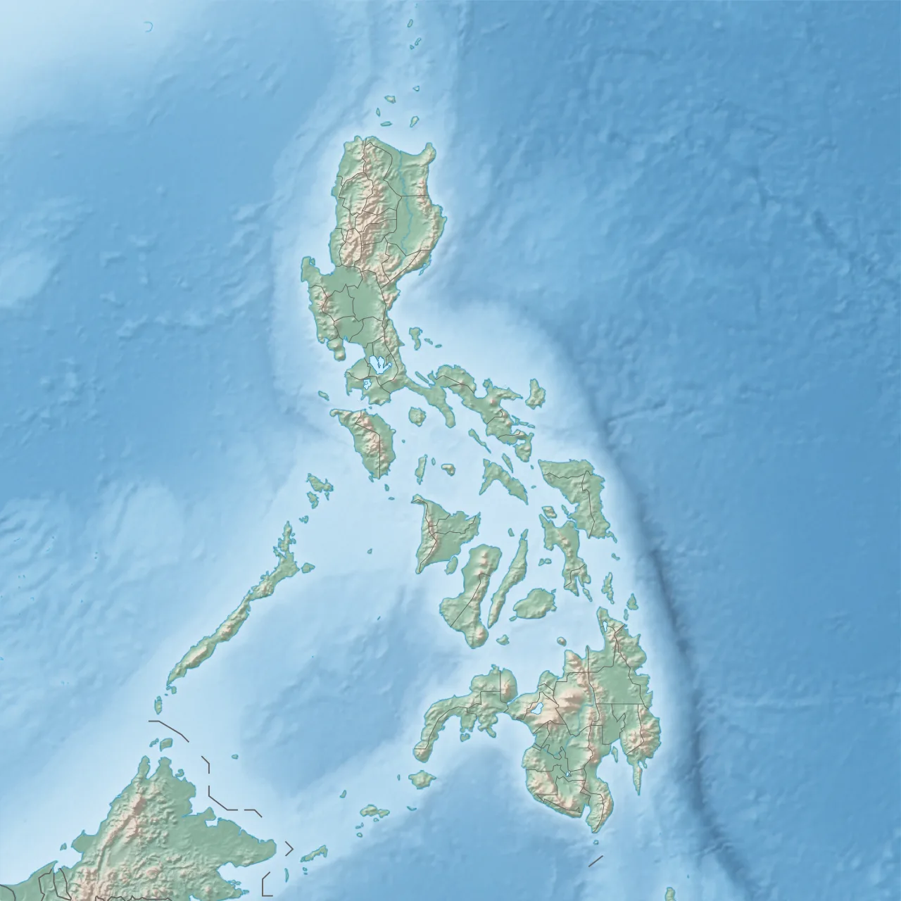
Mount Pinatubo is located in Philippines
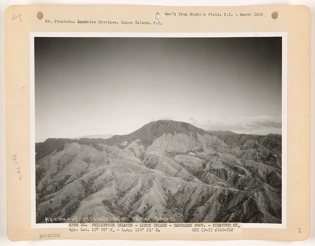
Aerial view of Mount Pinatubo prior to 1991 eruption, March 1933
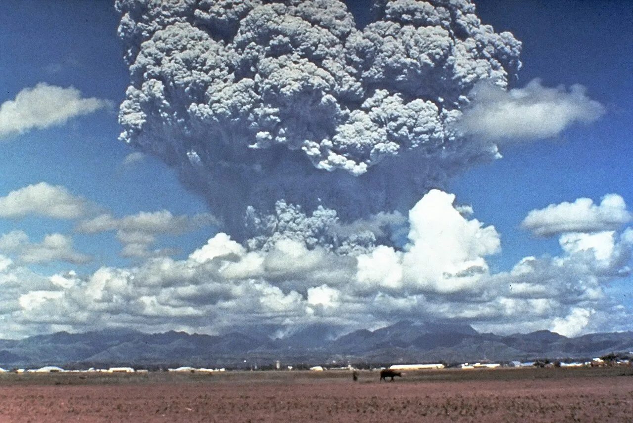
The eruption column of Mount Pinatubo on June 12, 1991, three days before the climactic eruption
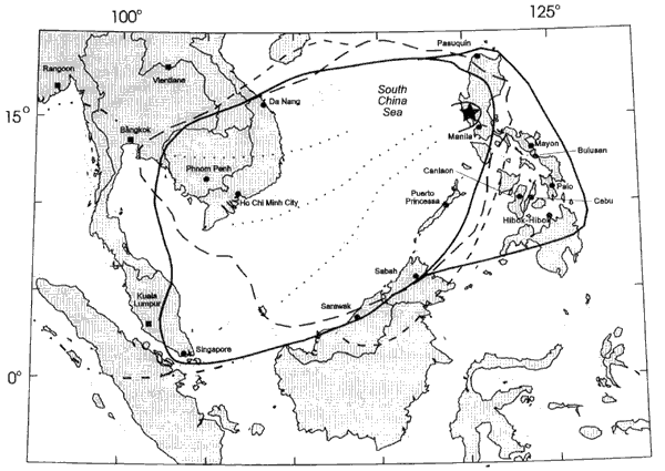
The location of Mount Pinatubo and the regional ash fallout from the 1991 eruption
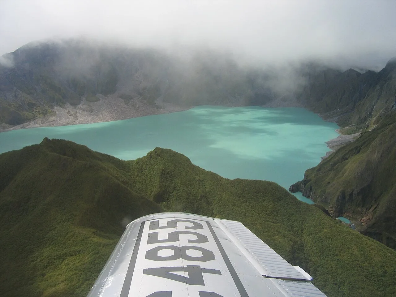
An aerial view of Mt. Pinatubo and Lake Pinatubo in 2006
Mount Pinatubo
Mount Pinatubo is an active stratovolcano located in the Zambales Mountains on the island of Luzon in the Philippines.
Energy Prospecting Uncovers a Dual History
In 1983 and 1984, F. G. Delfin conducted an overall geological study of Mount Pinatubo for the Philippine National Oil Company. His field investigations occurred prior to exploratory drilling for geothermal energy sources from 1988 to 1990. Delfin classified the mountain into two distinct life histories: ancestral and modern Pinatubo.
From Wikipedia · CC BY-SA 4.0
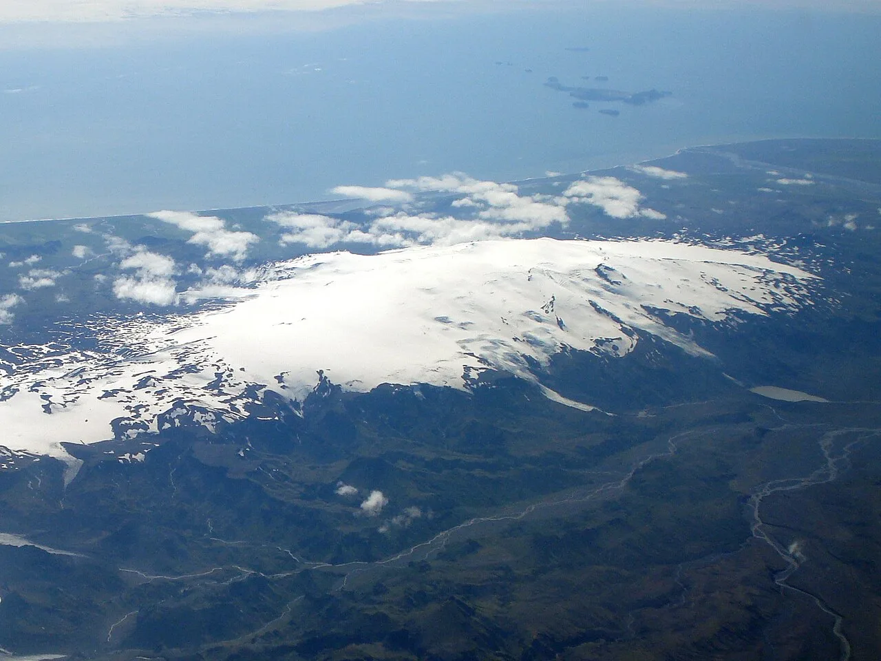
Þórsmörk Eyjafjallajökull 1 Iceland (cropped)
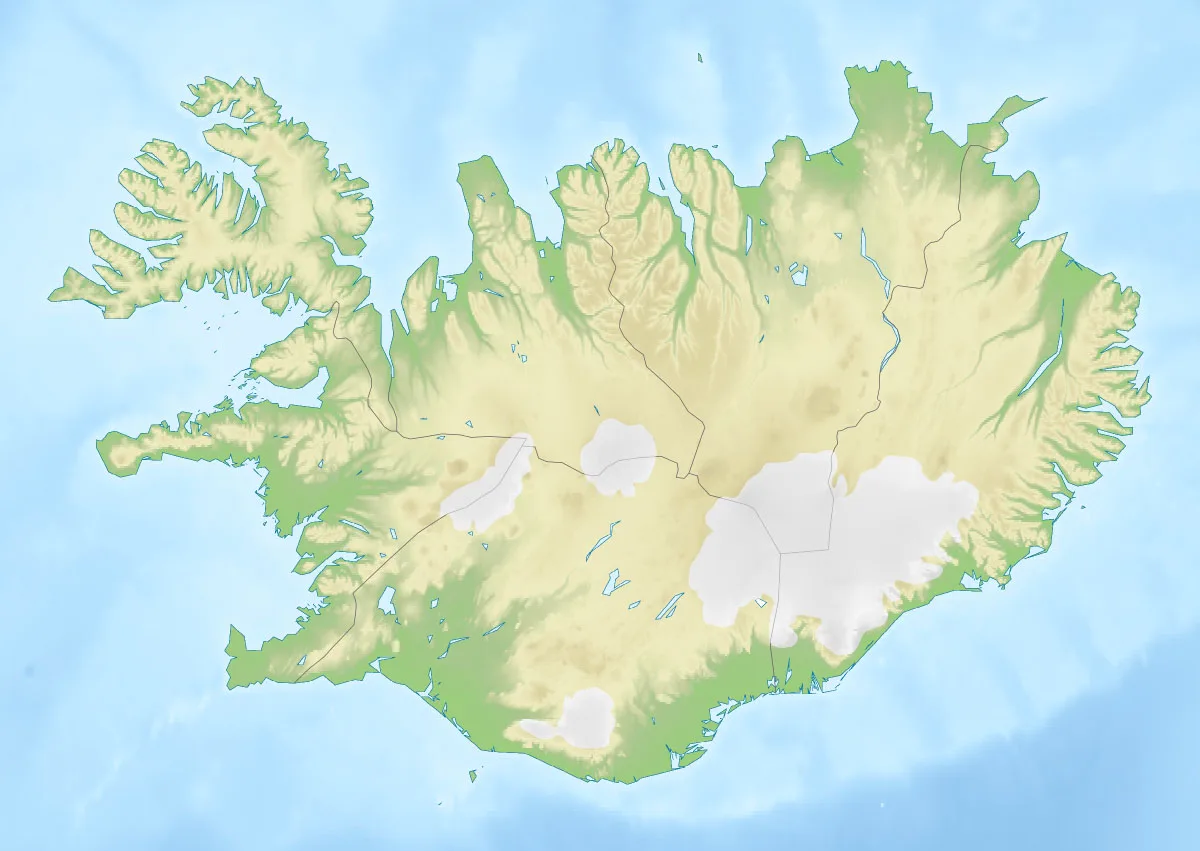
Eyjafjallajökull is located in Iceland
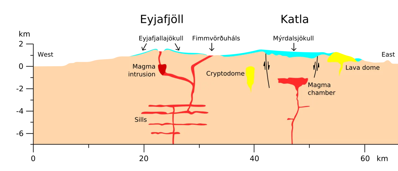
Cross section through Eyjafjöll and Katla
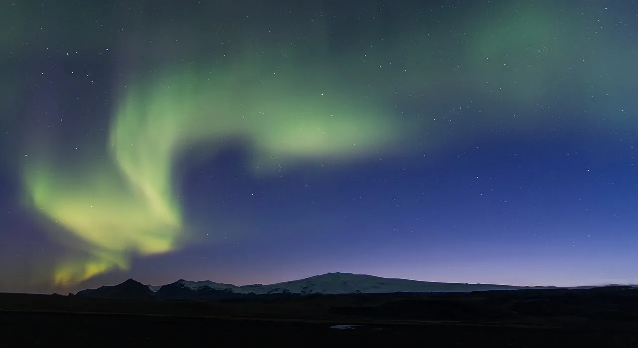
Eyjafjallajökull and the aurora.
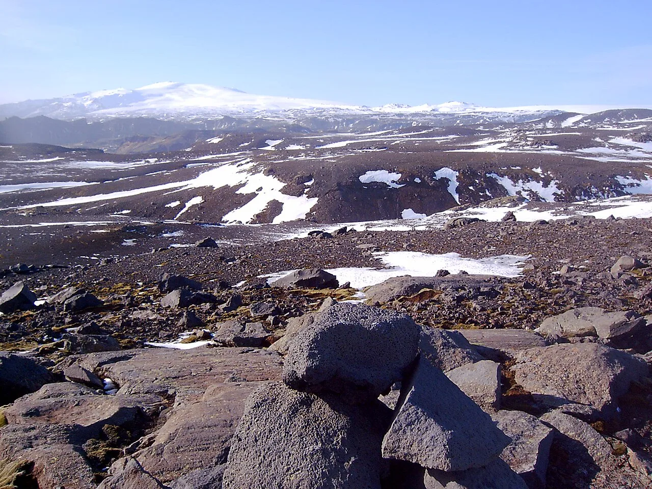
Eyjafjallajökull in March 2006, viewed from a recreation area on the Sólheimajökull, a glacier on the Katla volcano
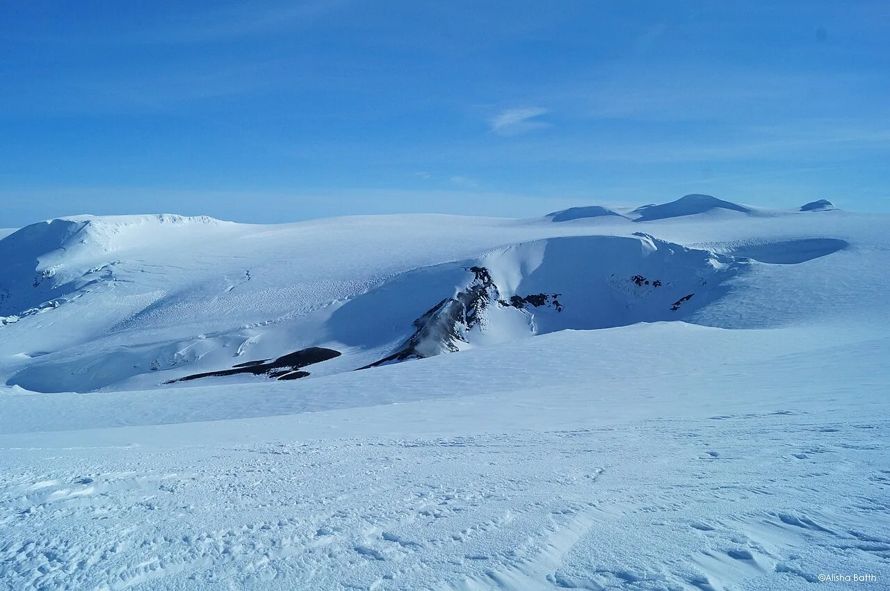
The crater three years post eruption in March 2013
Eyjafjallajökull
Eyjafjallajökull is one of the smaller ice caps of Iceland, covering the caldera of a volcano that erupted most recently in 2010.
The Linguistic Trace of Icicles
The Icelandic name Eyjafjallajökull translates piece by piece as "Islands' Mountains' glacier." The specific term jökull, which denotes a glacier or ice cap, shares a direct morphological lineage with Middle English. It is a cognate of the Middle English term ikil, an ancient root that survives preserved today within the modern English noun icicle.
From Wikipedia · CC BY-SA 4.0
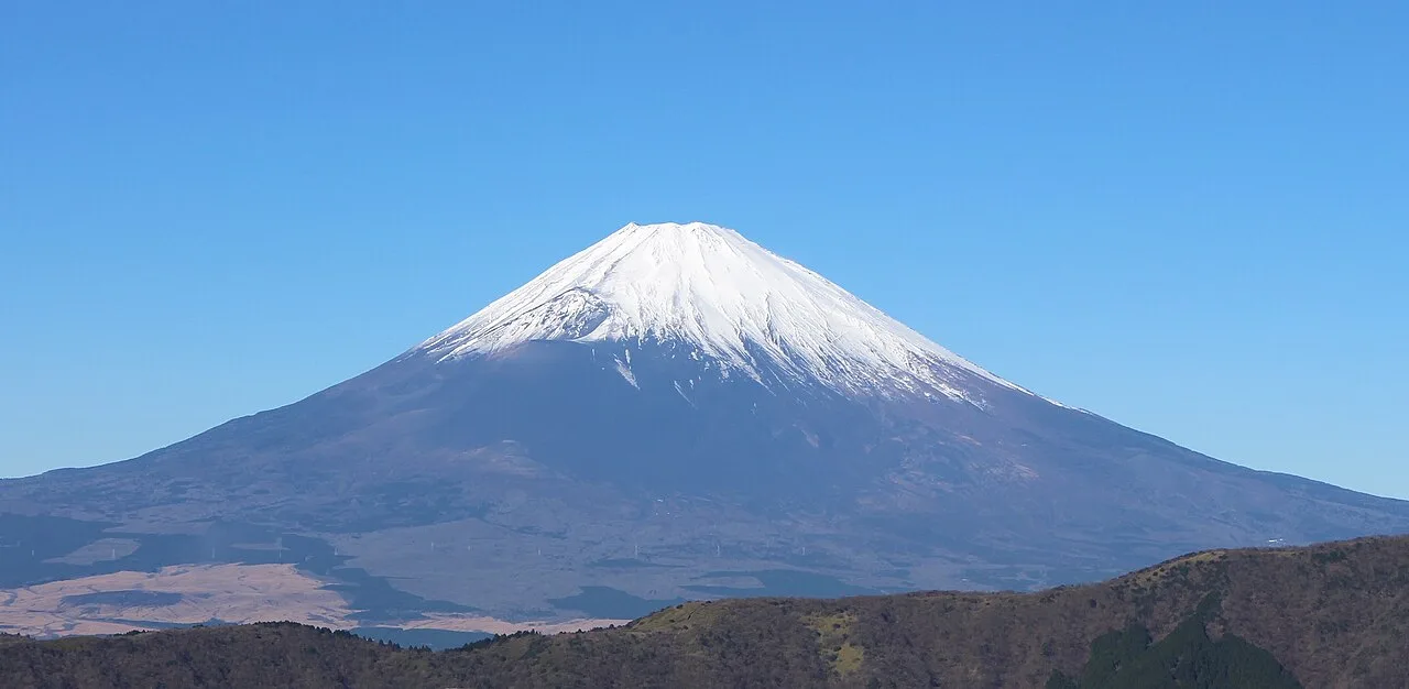
View of Mount Fuji from Ōwakudani 20211202
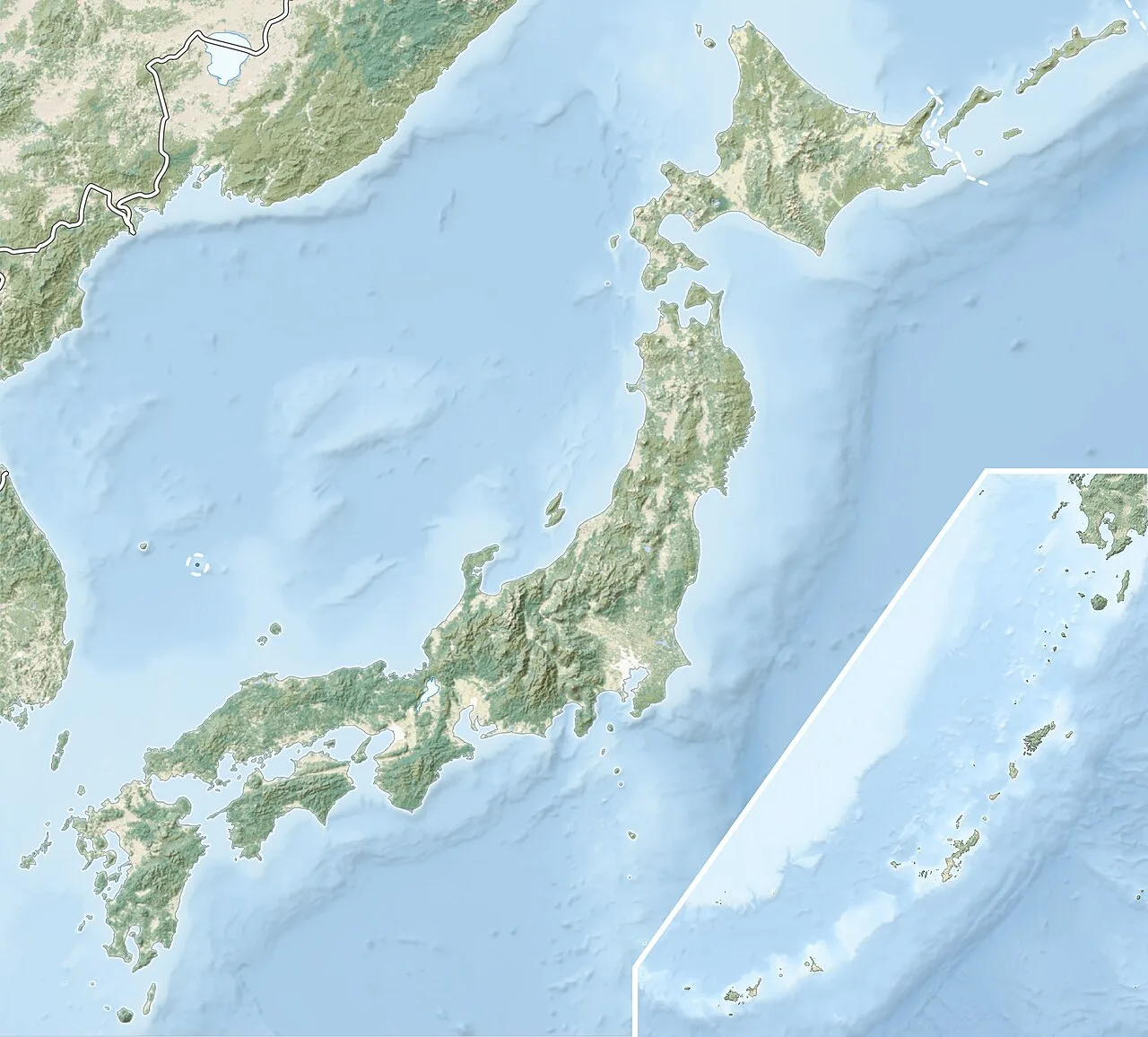
Mount Fuji is located in Japan
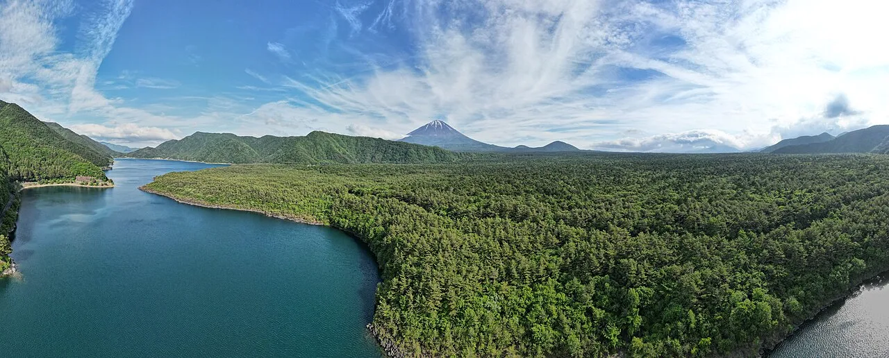
Aerial panorama of Mount Fuji from Lake Saiko, June 2023
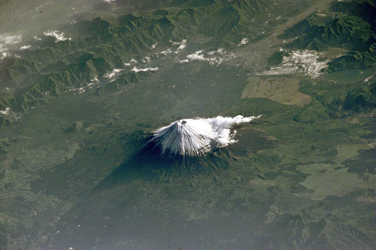
Fuji in early summer seen from the International Space Station (May 2001)
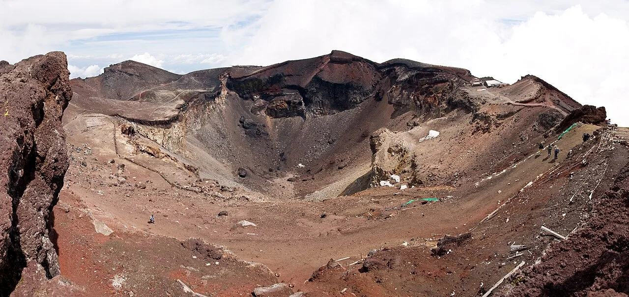
Crater with the Eight Sacred Peaks (Hasshin-po)
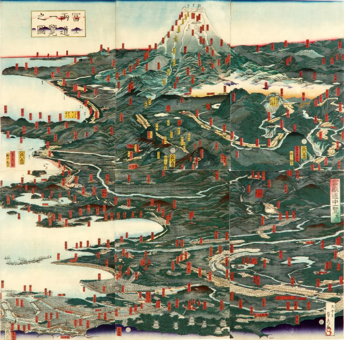
Historical illustration of the routes to Mount Fuji
Mount Fuji
Mount Fuji is an active stratovolcano on the island of Honshu and the highest mountain in Japan.
The Honorific Misconception Behind 'Fuji-san'
Many foreign observers assume the Japanese name Fuji-san employs the respectful honorific suffix commonly attached to human names. In truth, this suffix is simply the Sino-Japanese reading of the kanji character for mountain. The name Fuji existed long before written characters were assigned to it, meaning its kanji spellings were selected purely for sound rather than meaning.
From Wikipedia · CC BY-SA 4.0
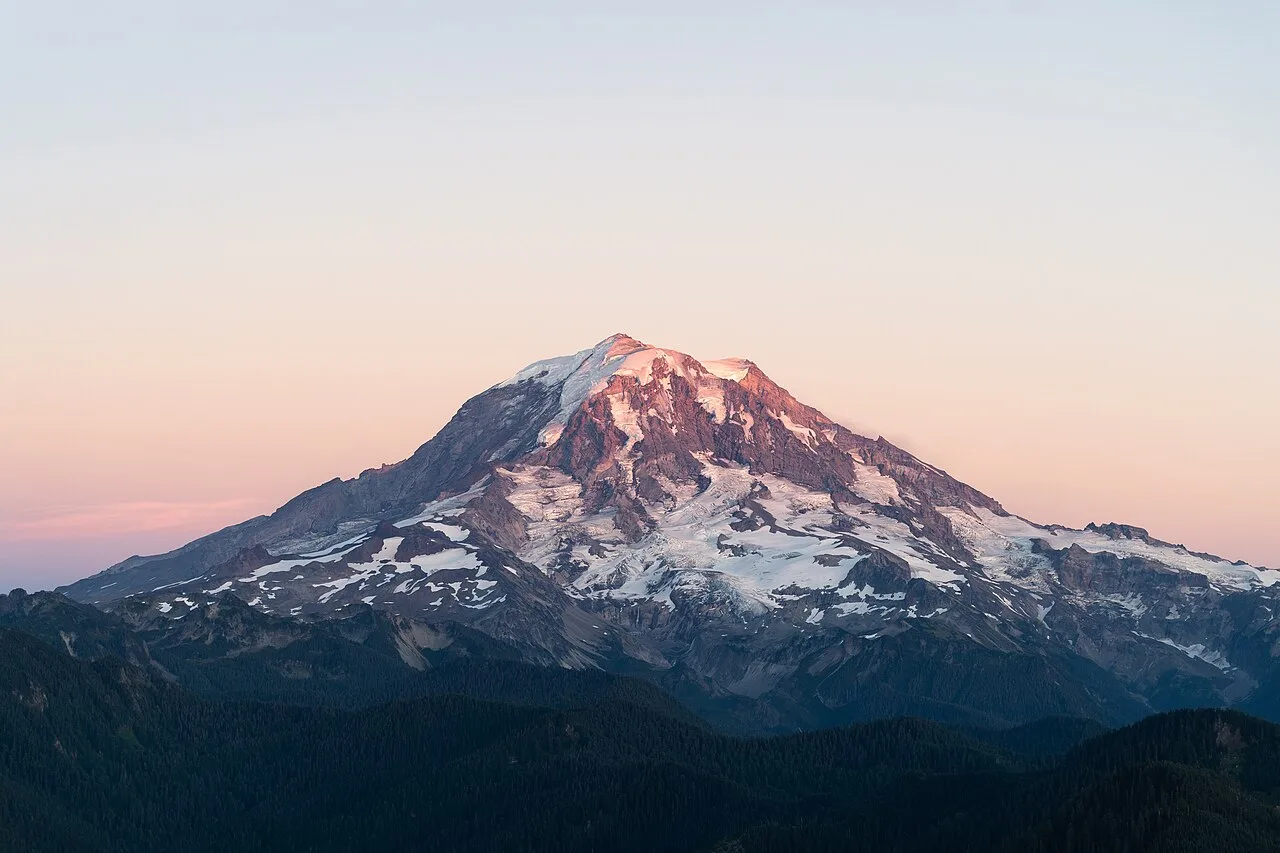
Rainier20200906
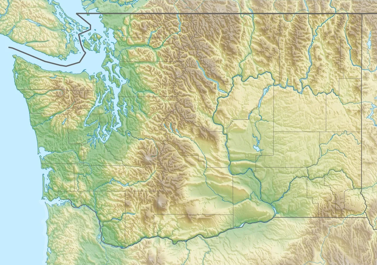
Mount Rainier is located in Washington (state)
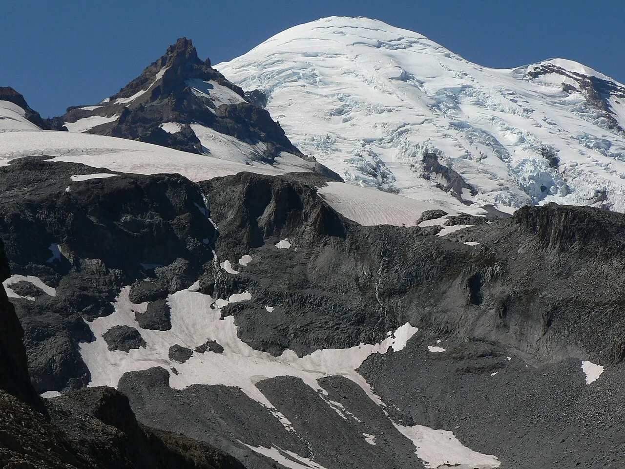
Little Tahoma Peak to the left of Mount Rainier, from Panhandle Gap
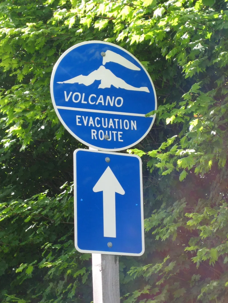
One of many emergency evacuation route signs in case of volcanic eruption or lahar around Mount Rainier
![Artist rendering of Mount Tacoma from Commencement Bay, 1888.[88]](https://nwjvzop1xgplmzvt.public.blob.vercel-storage.com/wikifeed/mount-rainier/4-a74436fa44.webp)
Artist rendering of Mount Tacoma from Commencement Bay, 1888.[88]
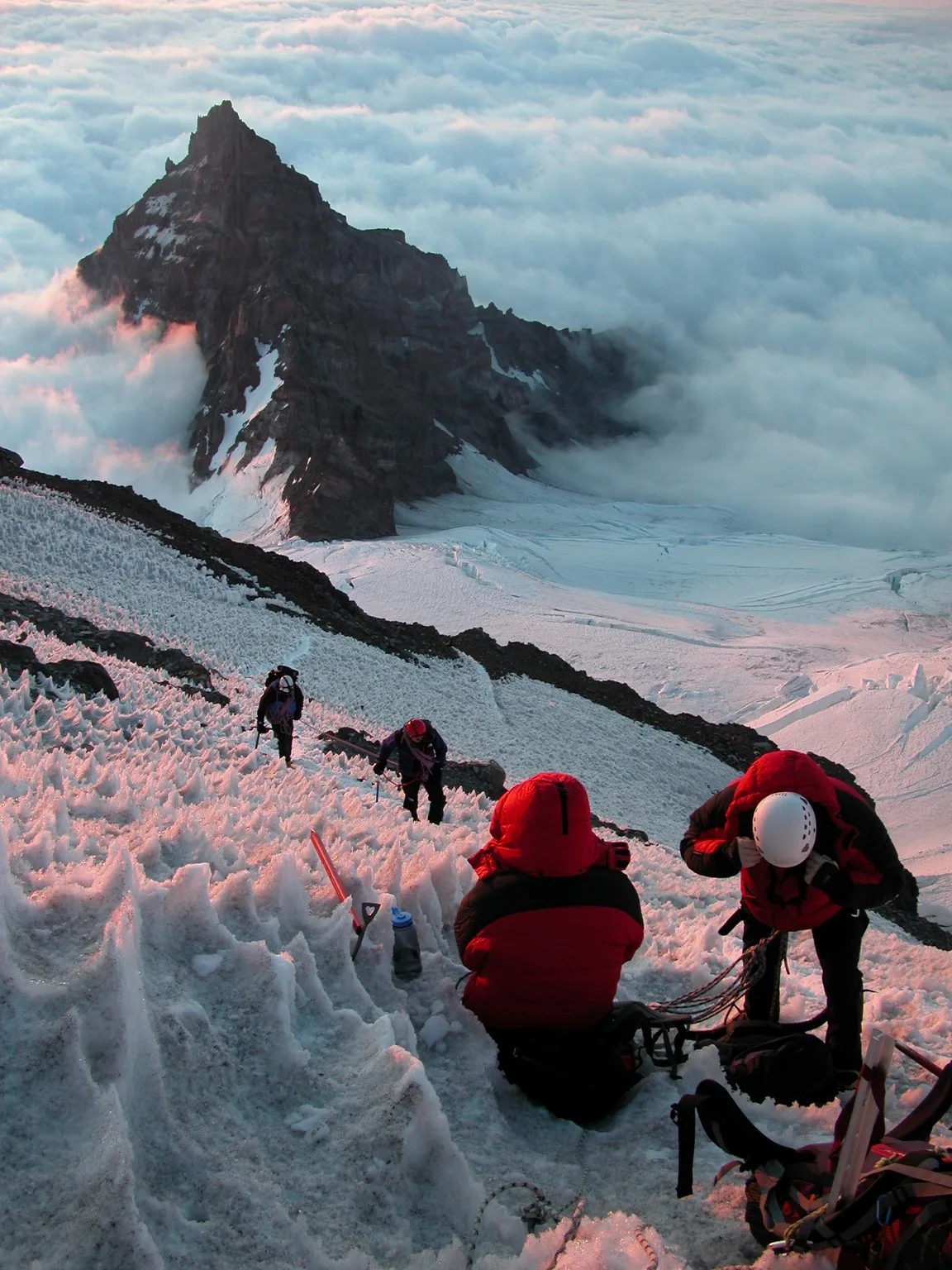
Climbers on Ingraham Glacier, above Little Tahoma
Mount Rainier
Mount Rainier, also known as Tahoma, is a large active stratovolcano in the Cascade Range of the Pacific Northwest and the highest mountain in the U.S. state of Washington.
Volcanic Heat Carving Sub-Glacial Labyrinths
Deep beneath the ice of Mount Rainier's summit lies a subterranean environment shaped by volcanic heat. This geothermal activity keeps sections of both crater rims clear while carving out the world's largest volcanic glacier cave network, spanning nearly 2 miles of passages. Trapped beneath more than 100 feet of ice inside the west crater is North America's highest crater lake, perched at an elevation of 14,203 feet.
From Wikipedia · CC BY-SA 4.0
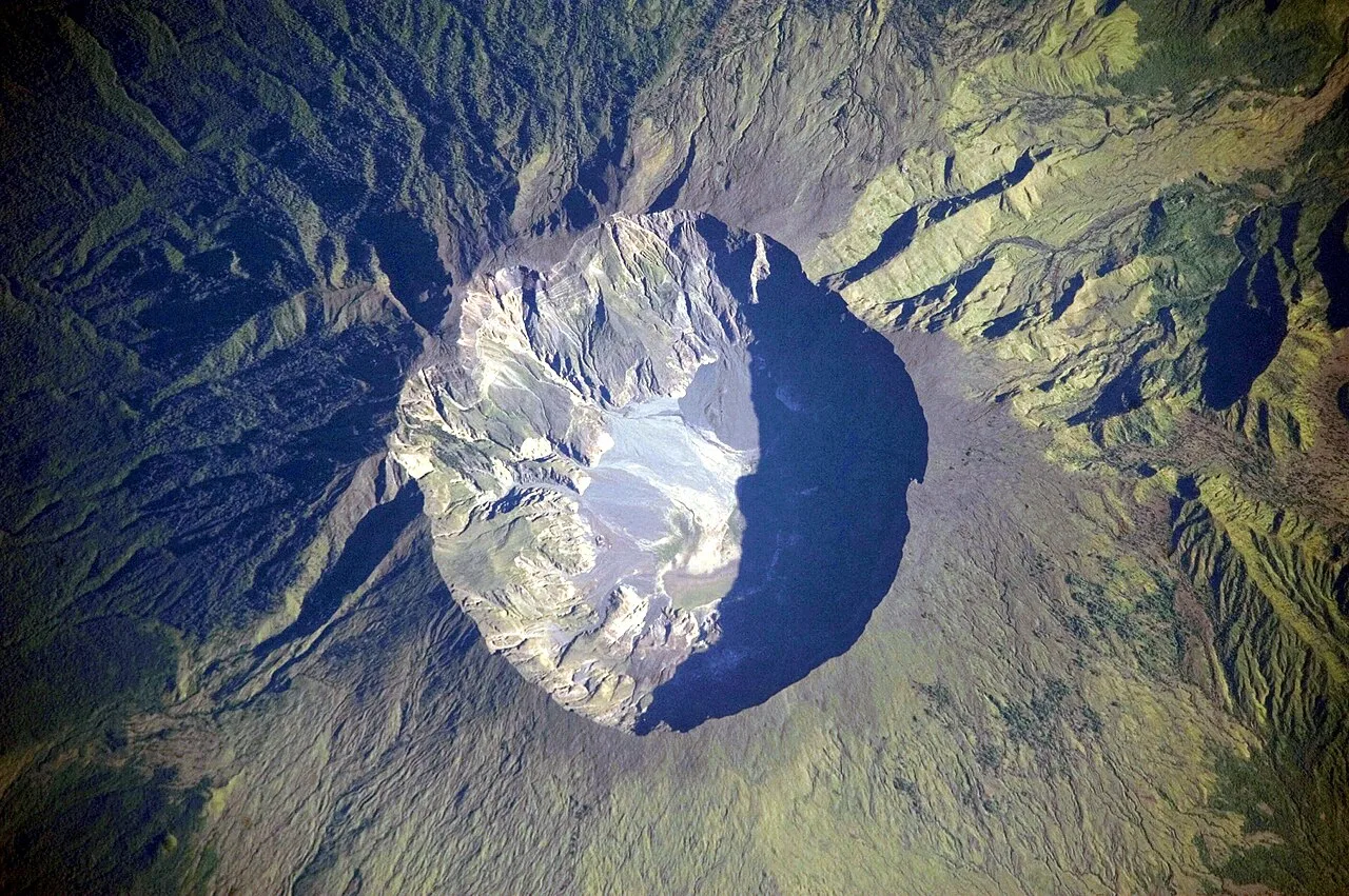
Mount Tambora Volcano, Sumbawa Island, Indonesia
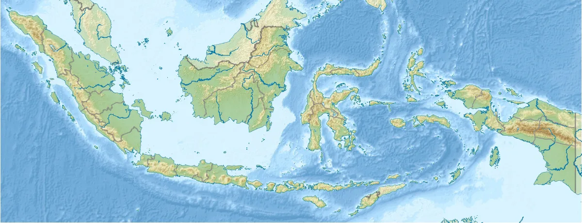
Mount Tambora is located in Indonesia
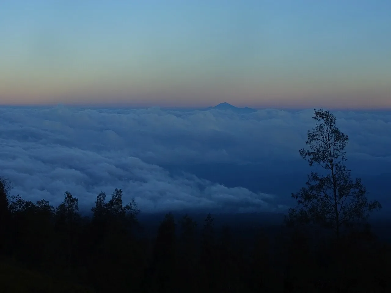
View of Mount Rinjani from Mount Tambora. Viewing distance is 165 kilometres (103 mi).
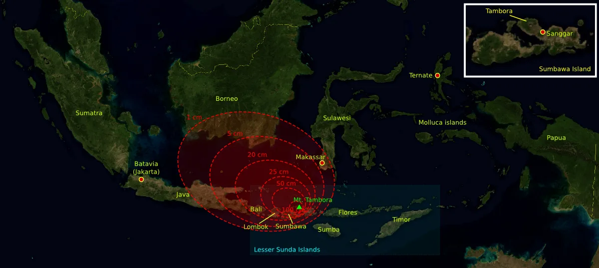
Estimated depth of volcanic ashfall during the 1815 eruption—the outermost region (1 cm) reached Borneo and the Sulawesi islands
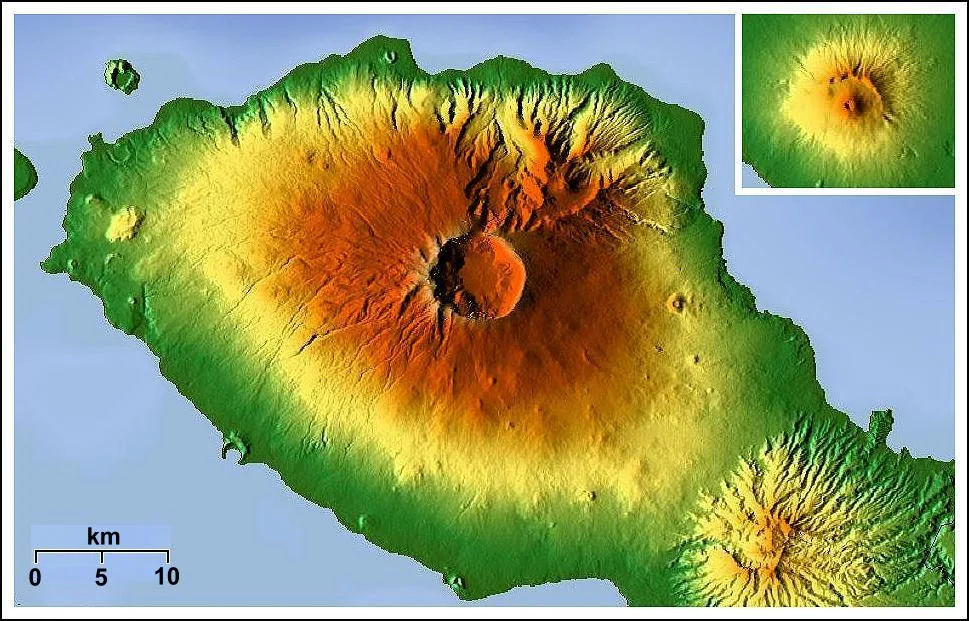
Size comparison of Mount Tambora ("Pompeii of the East") and Mount Vesuvius ("Pompeii")
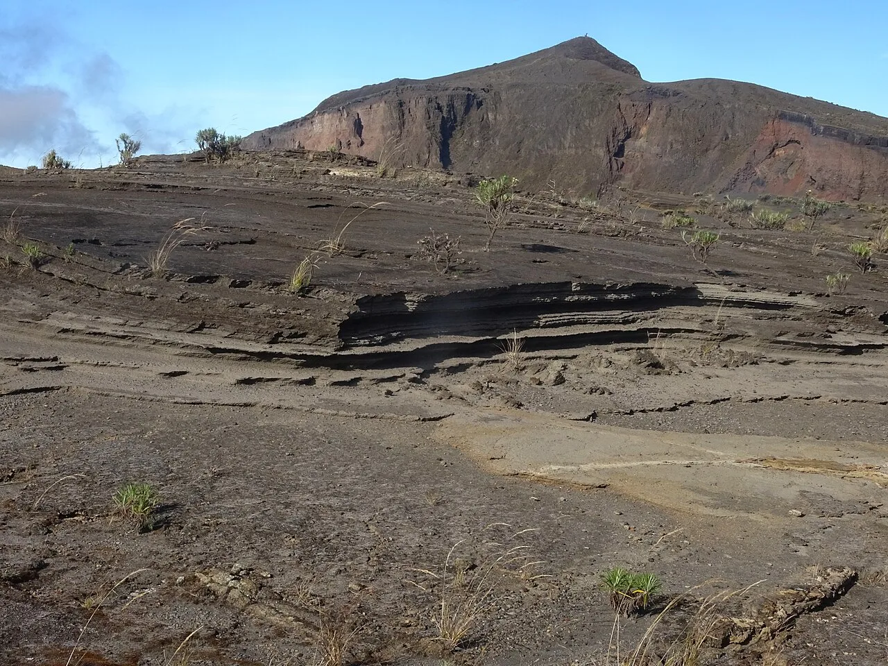
Tephra layers near the caldera (left) and summit (background) of Mount Tambora
Mount Tambora
Mount Tambora is an active stratovolcano in Indonesia whose 1815 eruption was the largest in recorded history, leading to global cooling in 1816's Year Without a Summer.
Five Thousand Bars of Magmatic Overpressure
Centuries of dormancy masked intense thermodynamic processes occurring beneath Mount Tambora as hydrous magma cooled inside a closed chamber. Trapped at depths between 1.5 and 4.5 kilometres, magma crystallization exsolved volatile fluids that built immense pressures of 4,000 to 5,000 bars. When this overpressured chamber ruptured, it unleashed the most devastating explosive eruption in recorded human history.
From Wikipedia · CC BY-SA 4.0