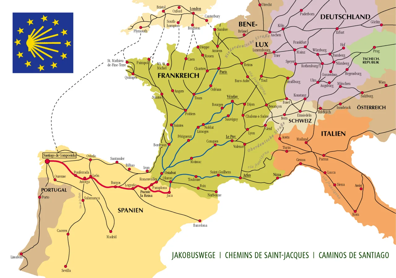
Ways of St. James in Europe
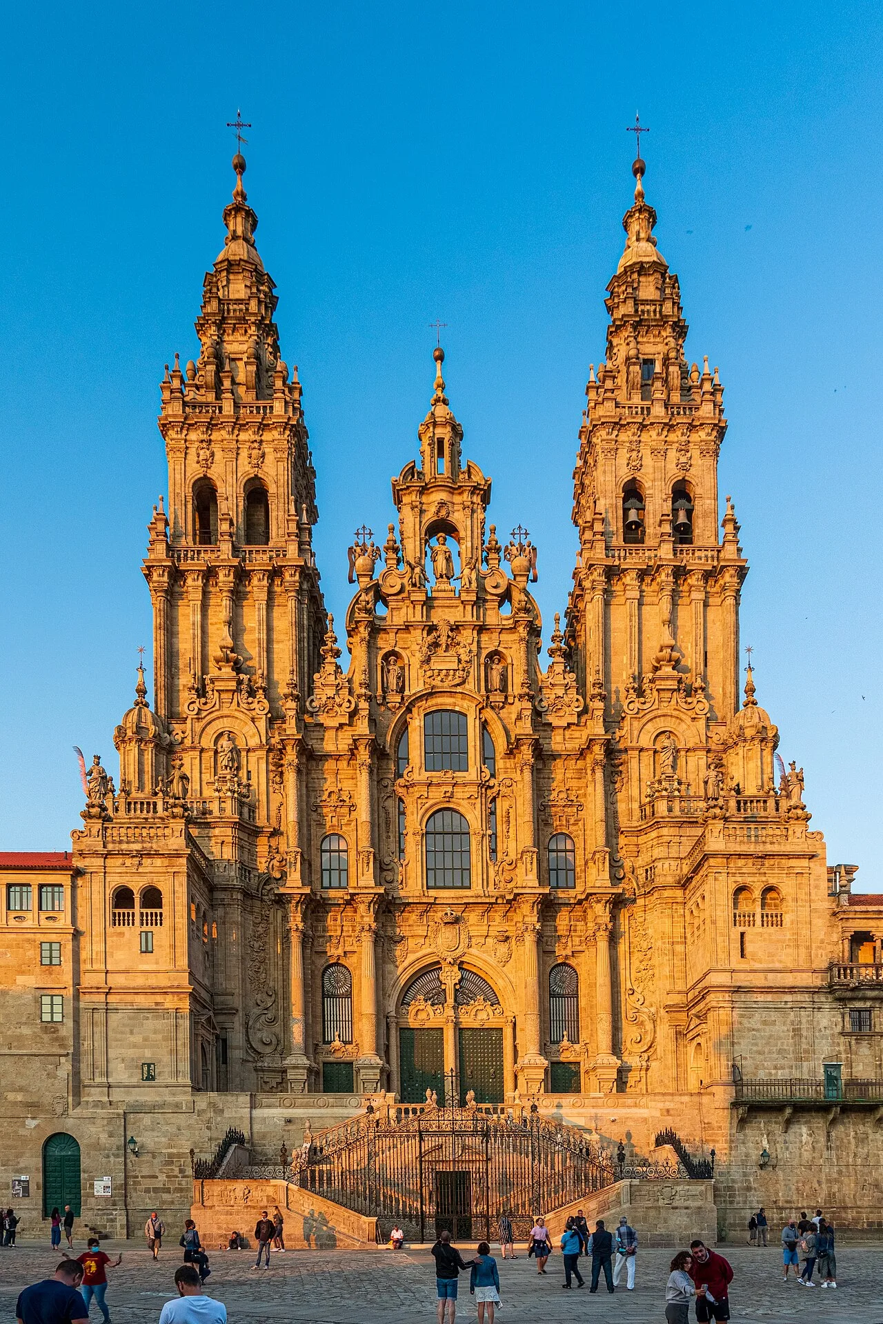
The Cathedral of Santiago de Compostela
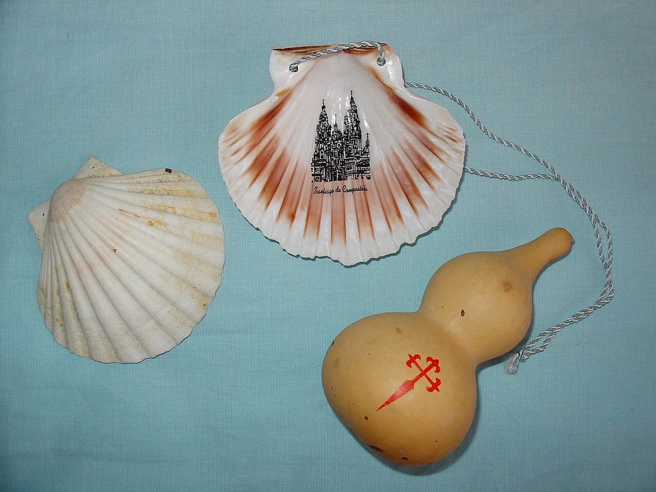
Traditional St James pilgrim accessories
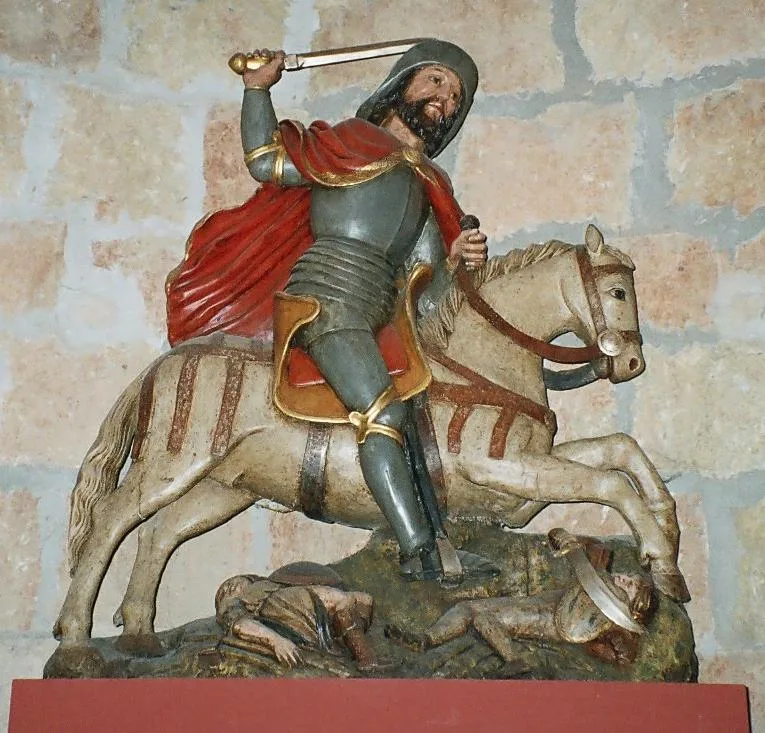
St James the Moor Slayer (Carrión de los Condes)
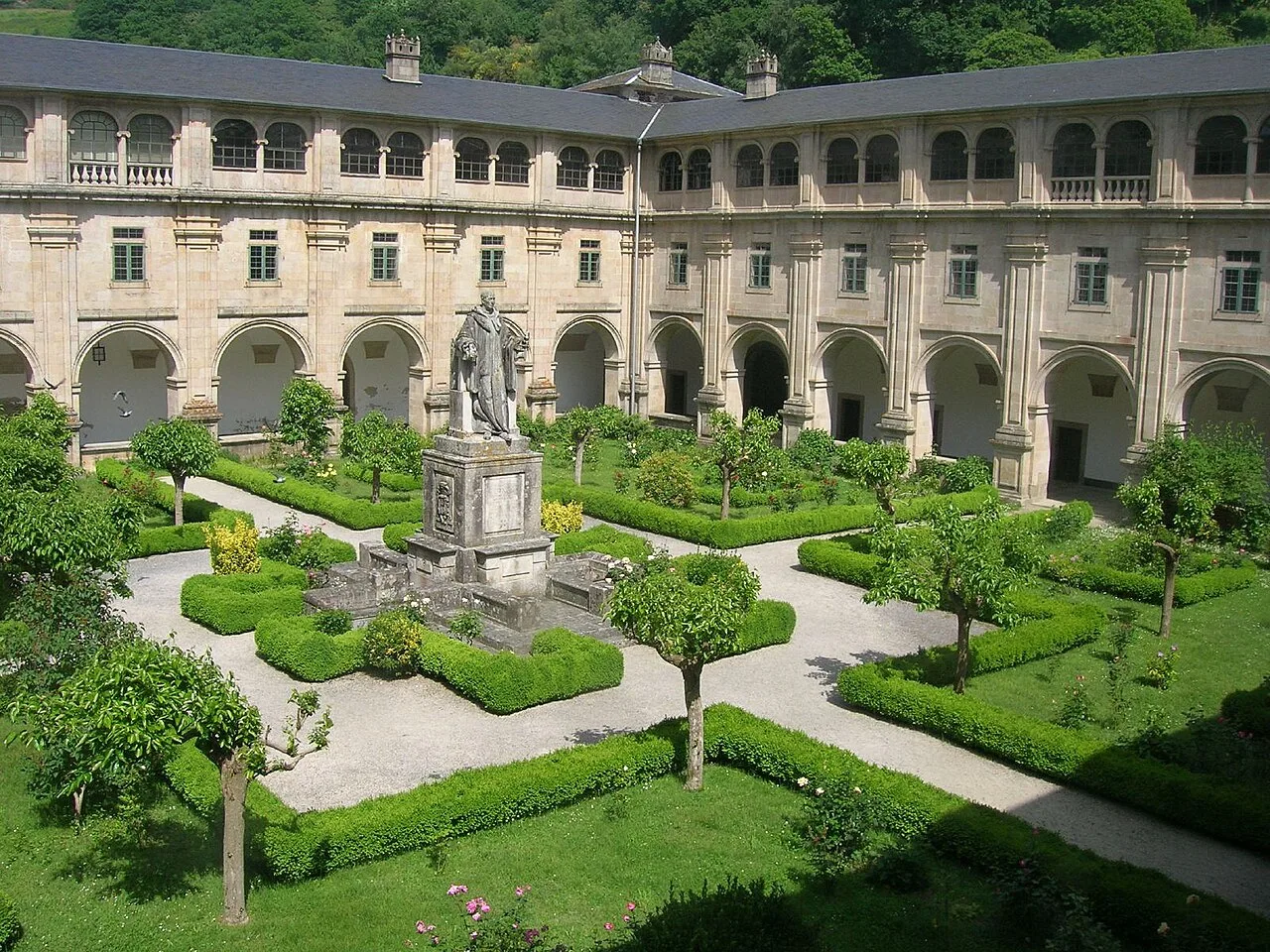
Monastery of San Xuliàn de Samos, which provides shelter for pilgrims
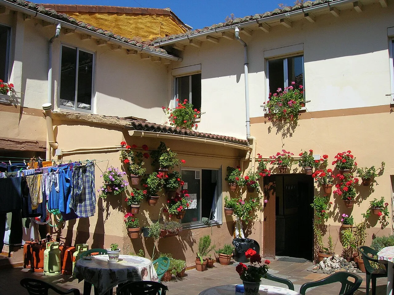
A pilgrims hostel in Mansilla de las Mulas
Camino de Santiago
The Camino de Santiago, or the Way of St. James, is a network of pilgrimage routes leading to the shrine of the apostle James in Santiago de Compostela, Spain.
Stargazing Along an Ancient Roman Highway
Long before Christian pilgrims walked the route, the main trail followed an earlier Roman trade path leading to Cape Finisterre. Because travelers considered this Atlantic promontory the end of the world, nocturnal navigation aligned closely with the celestial canopy above. The Milky Way appeared to point the westward way, earning the route the French nickname Voie lactée.
From Wikipedia · CC BY-SA 4.0
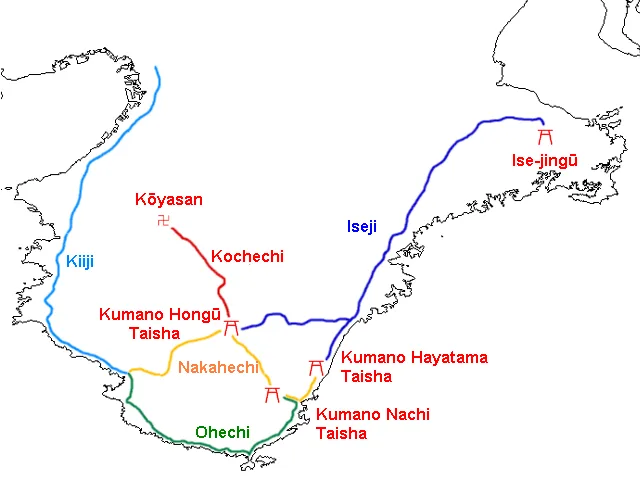
A map showing the main routes of the Kumano Kodo across the Kii Peninsula of Japan.
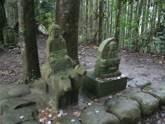
Gyuba-doji, a statue of the young Emperor Kazan on pilgrimage riding a horse and a cow. The emperor named the area Chikatsuyu.
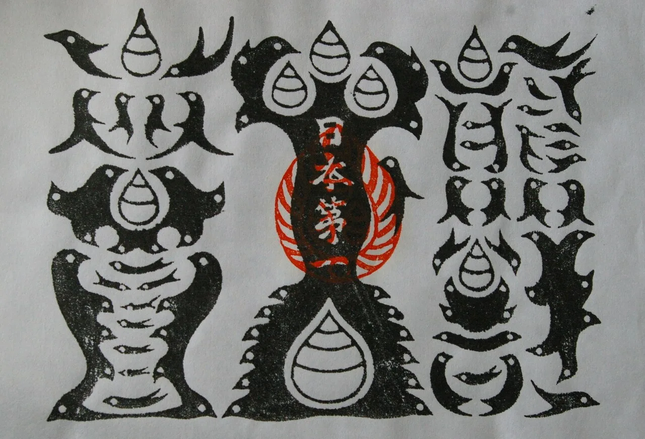
Gyuoh Hoin talisman from Kumano Hongu Taisha.
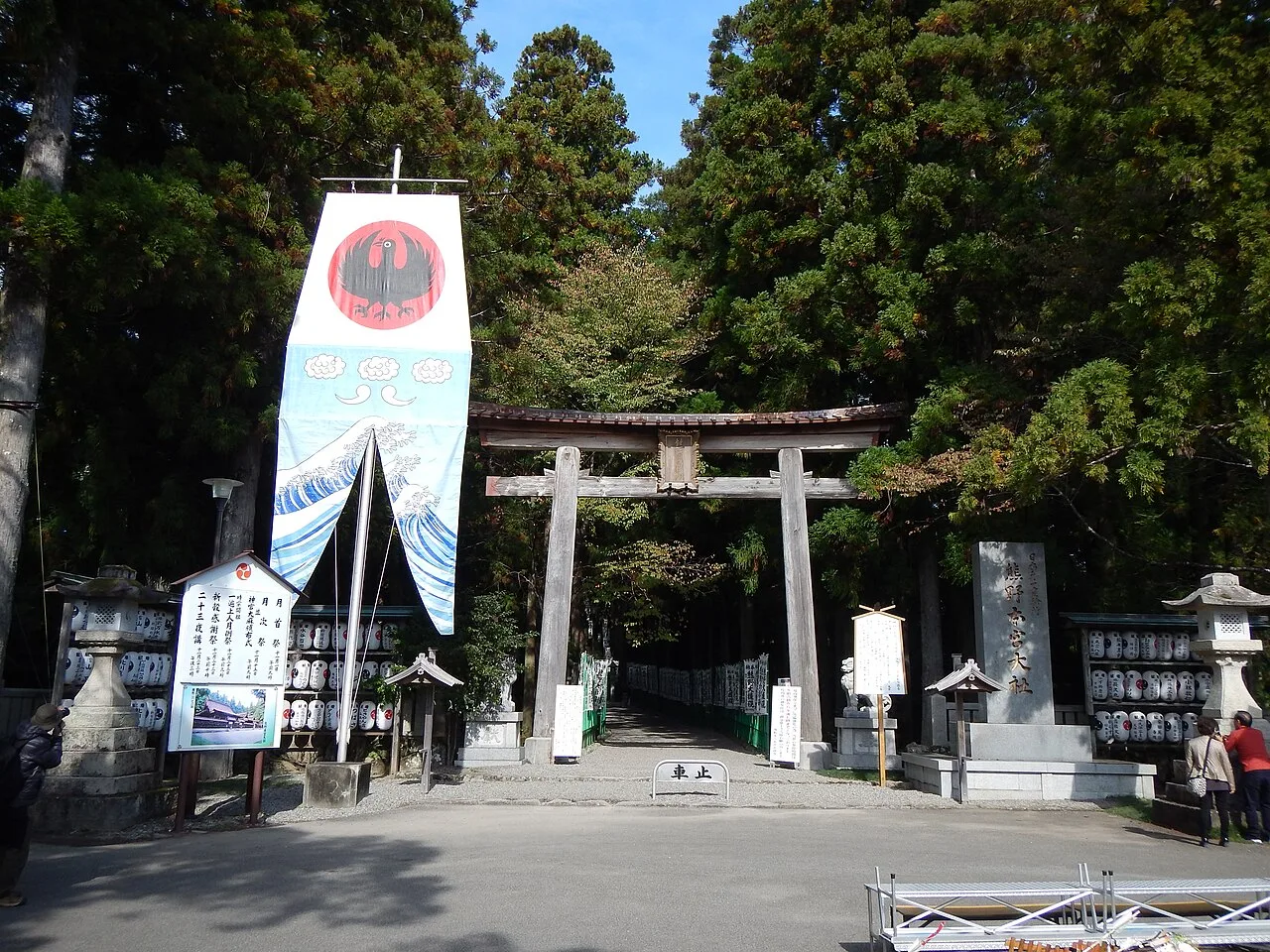
The entrance to Kumano Hongu Taisha and terminus of the first leg of the Nakahechi.
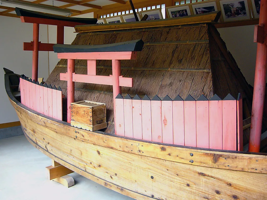
A reproduction of a boat used by the Fudarakusanji monks setting off for the southern pure land.
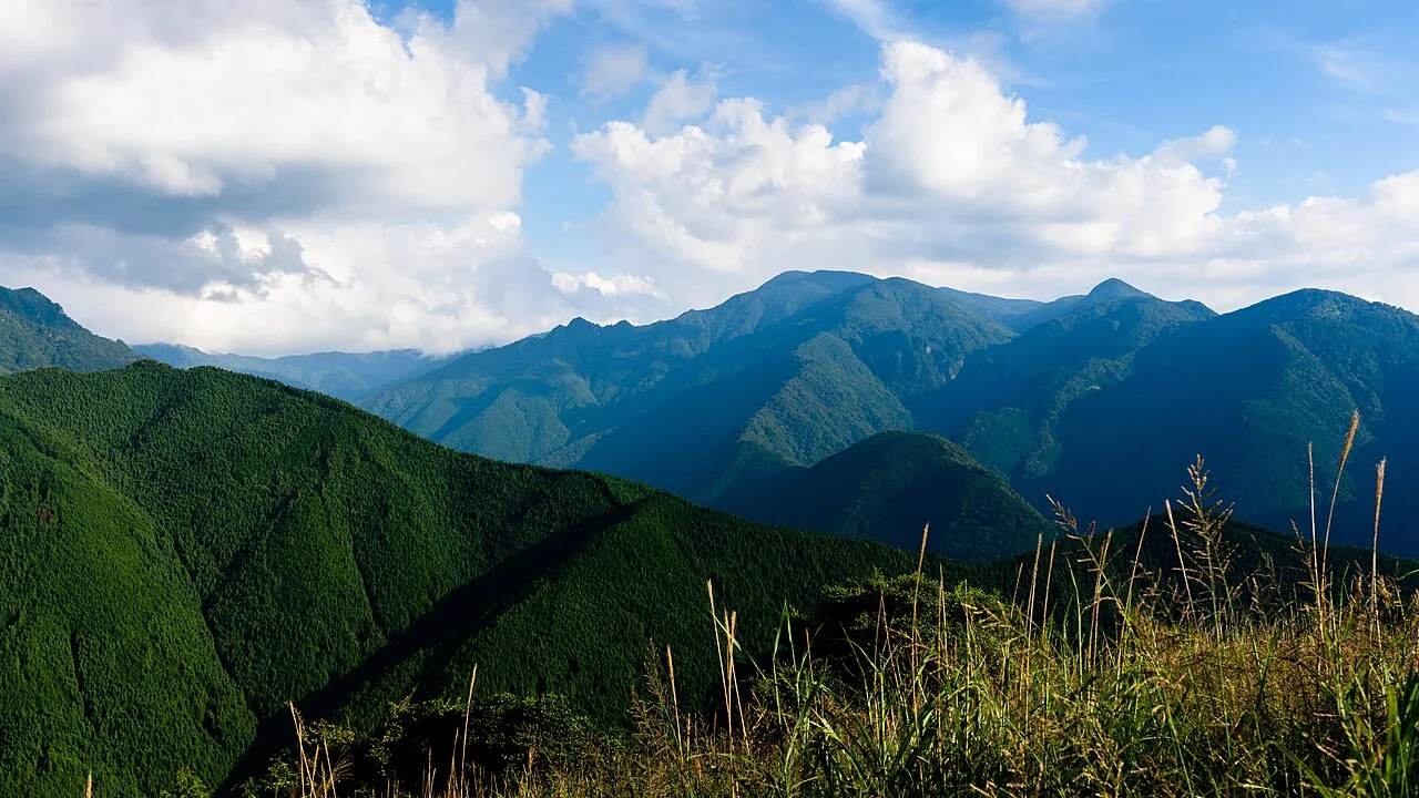
Mount Ōmine next to Mount Misen, an example of the 'ocean of mountains' in the region.
Kumano Kodō
These ancient pilgrimage routes crisscross Japan's Kii Peninsula, leading to the Three Grand Shrines of Kumano.
An Ecologist's Stand Against Cleansing Orders
Modernization almost erased the trail's hybrid spiritual landscape at the end of 1906 under the Meiji Restoration's Shrine Combining Order. This decree forcibly separated Buddhist and Shinto elements, triggering the demolition of Buddhist structures and the destruction of old-growth shrine forests. Pioneering ecologist Minakata Kumagusu intervened, launching extensive studies and public campaigns to preserve the region's imperiled ecosystems from complete eradication.
From Wikipedia · CC BY-SA 4.0

Map of the 88 temples along the Shikoku Pilgrimage

Pilgrims at Zentsū-ji, Temple 75 and the birthplace of Kūkai

An aruki-henro or walking pilgrim, marked out by his distinctive sedge hat, white shirt, and kongō-zue. The henro-michi route passes through the countryside and a number of cities.

Tohorengyou

Kinnhuda02

Noukyoutyo20210216
Shikoku Pilgrimage
A multi-site pilgrimage of 88 temples associated with the Buddhist monk Kūkai on the island of Shikoku, Japan.
Four Ancient Provinces as Stages of Awakening
The physical layout of Shikoku is mapped directly onto a spiritual trajectory. Pilgrims traverse four traditional provinces that represent consecutive phases of Buddhist realization, moving from awakening across temples 1–23 to austerity and discipline at temples 24–39. The journey culminates as walkers reach enlightenment through temples 40–65 and finally enter nirvana at temples 66–88.
From Wikipedia · CC BY-SA 4.0
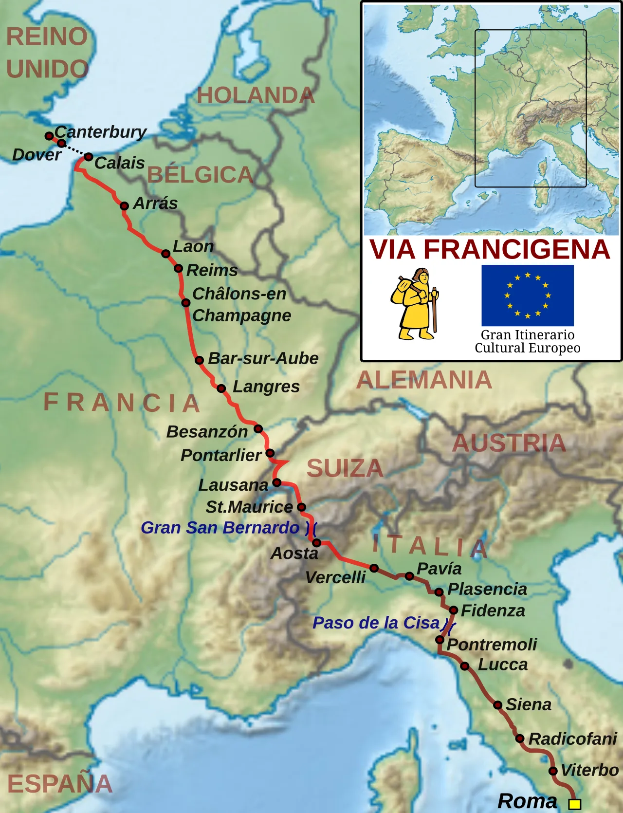
Map of the Via Francigena
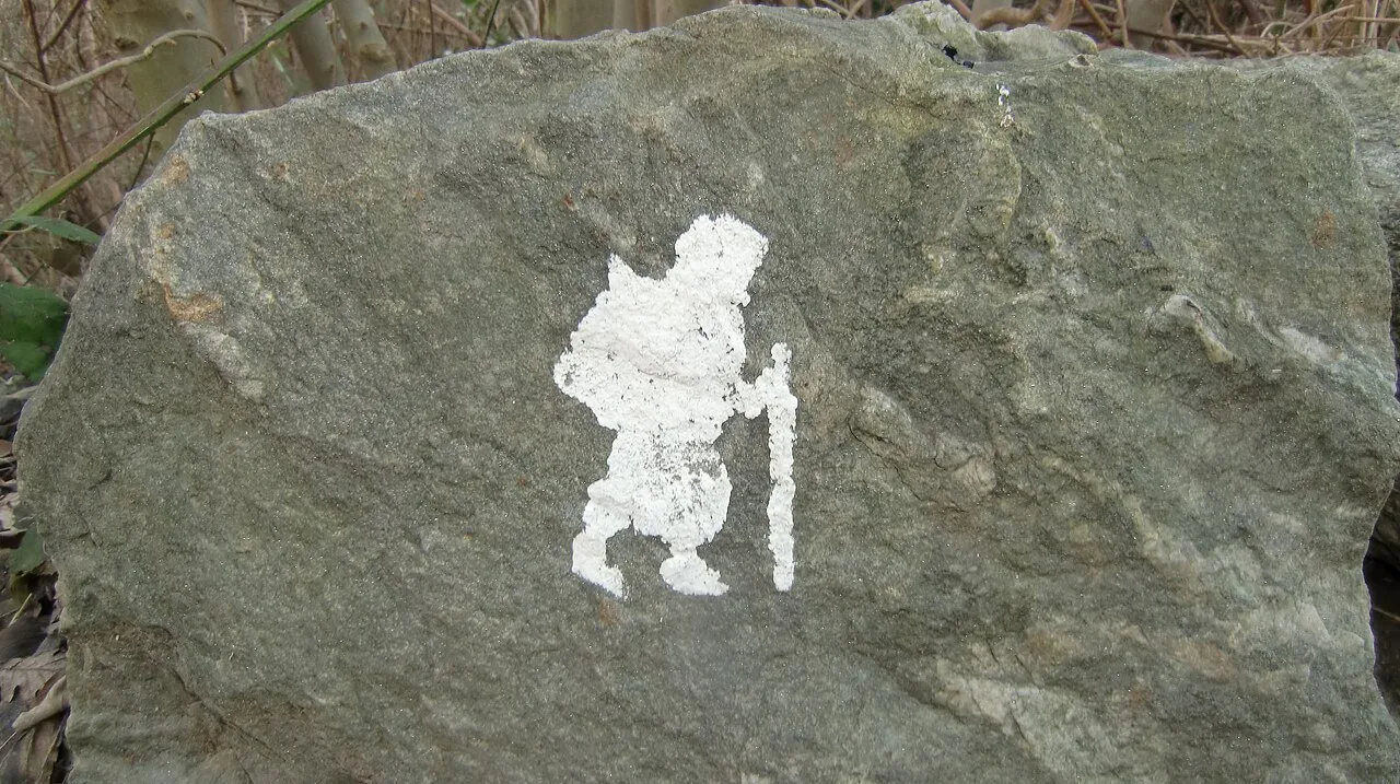
Sign showing the path near Ivrea, Piedmont
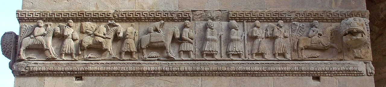
Pilgrims to Rome carved in a relief, Fidenza Cathedral (late twelfth century)
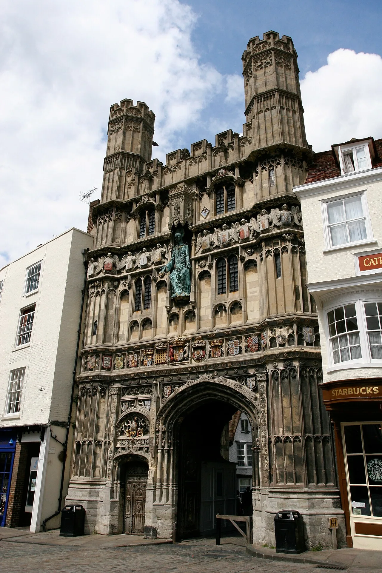
Pilgrims bound for Rome depart Canterbury Cathedral from the Christ Church Gate.

The Great St. Bernard Pass in high summer

Mediaeval Italian manuscript depicting the Castle of Tentennano on the Via Francigena
Via Francigena
The Via Francigena is an ancient pilgrimage route running from Canterbury, England, through France and Switzerland, to Rome and Apulia in southern Italy.
A Fluid Network Built to Dodge Hostile Cities
Unlike standard Roman highways engineered with uniform stone paving, the Via Francigena was never a single fixed corridor. Instead, it operated as a shifting network of paths that adjusted across centuries according to weather, alpine pass conditions, and regional politics. The Lombards actively maintained and secured their portion as a northern trade conduit to bypass enemy strongholds such as Florence.
From Wikipedia · CC BY-SA 4.0
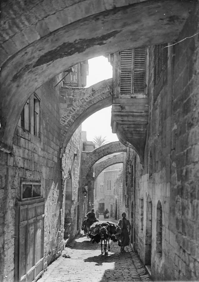
Via Dolorosa, Jerusalem
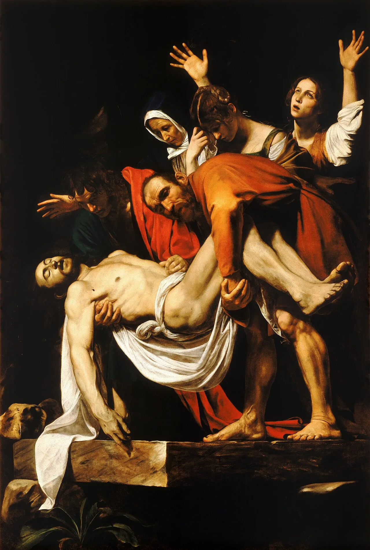
Entombment of Christ
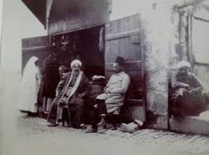
Shop on the Via Dolorosa near the Ecce Homo arch, Jerusalem, 1891
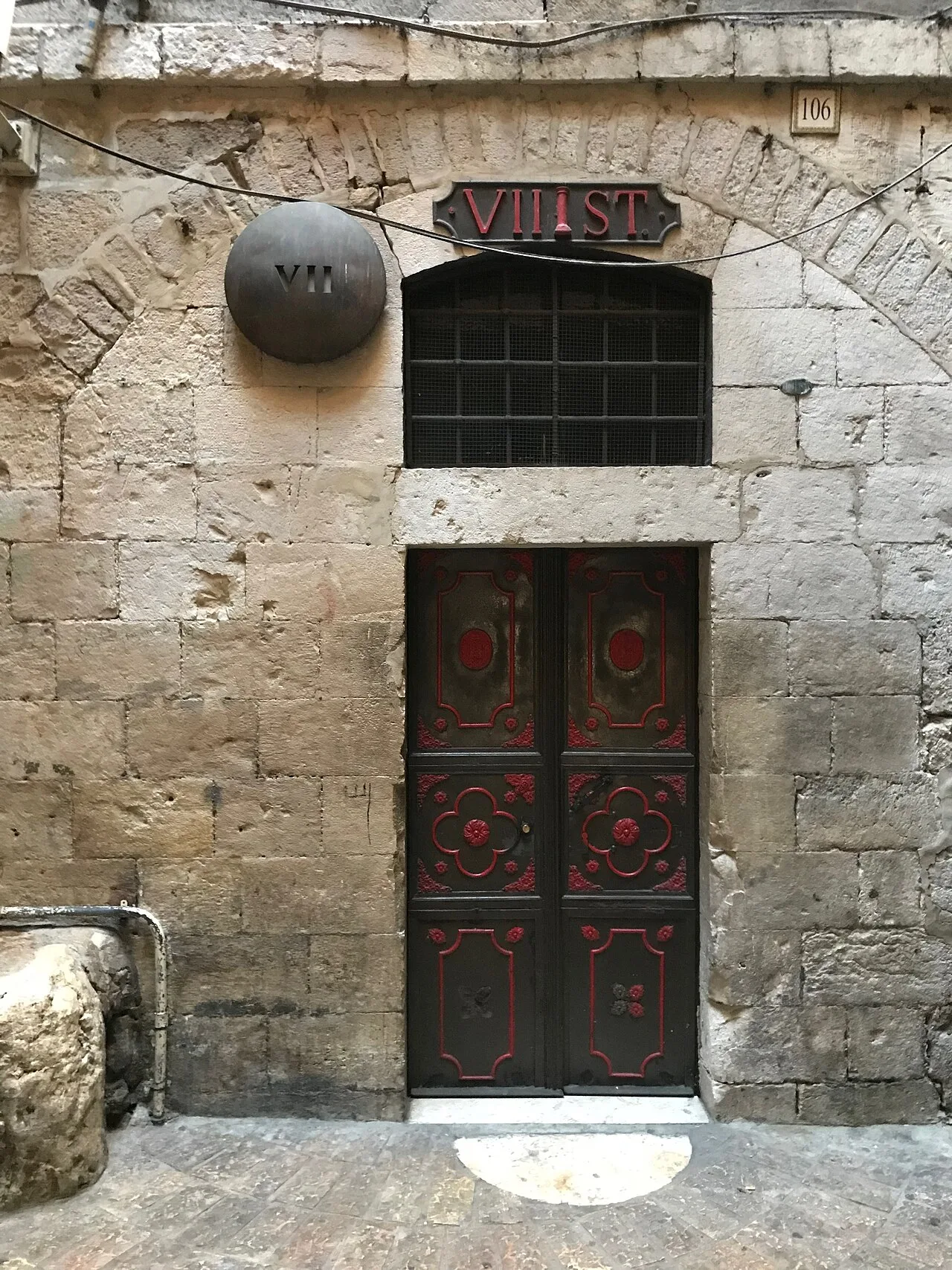
Exterior of the 7th station, 2017
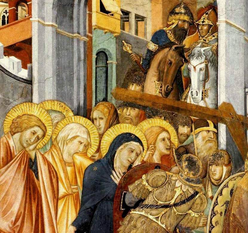
Pietro Lorenzetti's fresco of women following Jesus on Via Dolorosa, Assisi, 1320
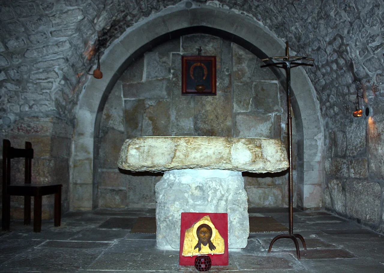
6th Station – Veronica wipes the face of Jesus
Via Dolorosa
A processional route in the Old City of Jerusalem representing the path that Jesus took on the way to his crucifixion, marked by 14 Stations of the Cross.
Hadrian's Forced Realignment of the Decumanus
The physical layout of the Via Dolorosa reflects Roman urban planning rather than an ancient biblical pathway. When Hadrian rebuilt Jerusalem, the presence of the Temple Mount along the eastern perimeter forced architects to add a secondary northern street. To prevent an unbuildable triangular block where the routes met, the western decumanus was placed south of its eastern counterpart. This Roman urban modification created the road discontinuity that pilgrims navigate today.
From Wikipedia · CC BY-SA 4.0
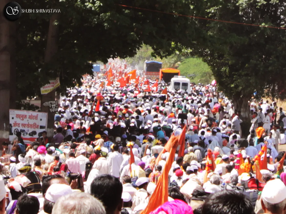
A procession Palkhi festival Hindu culture religion rites rituals sights
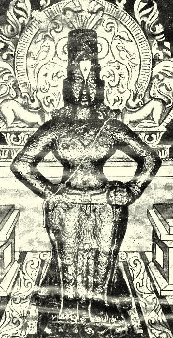
The Vari is undertaken in honour of the god Vithoba.
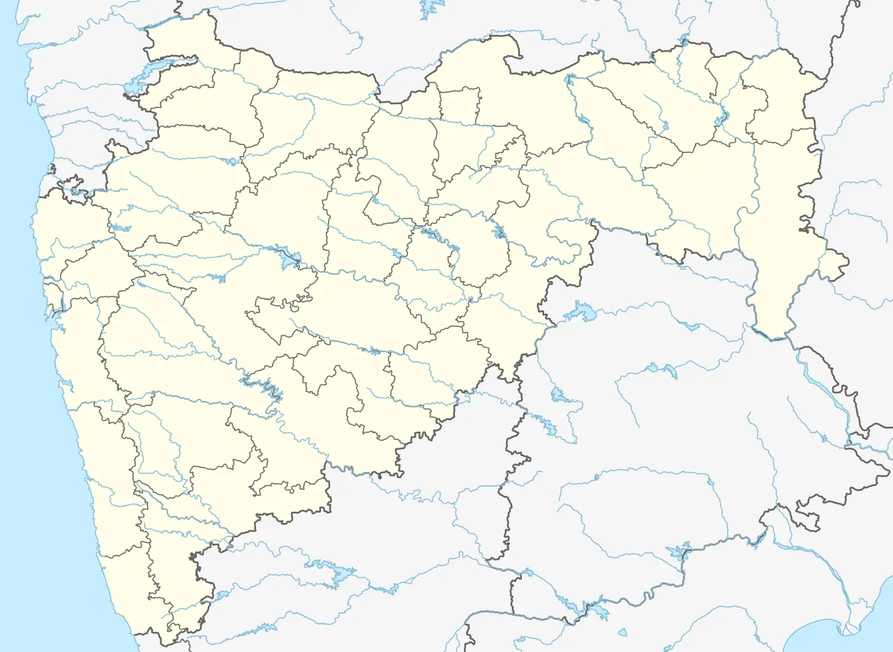
Pandharpur Vari is located in Maharashtra
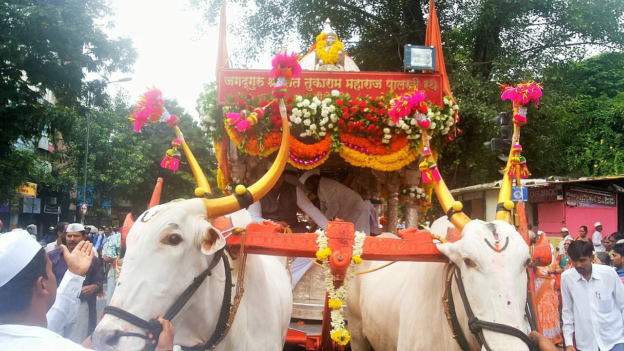
Tukaram Maharaj palkhi (palanquin) Rath
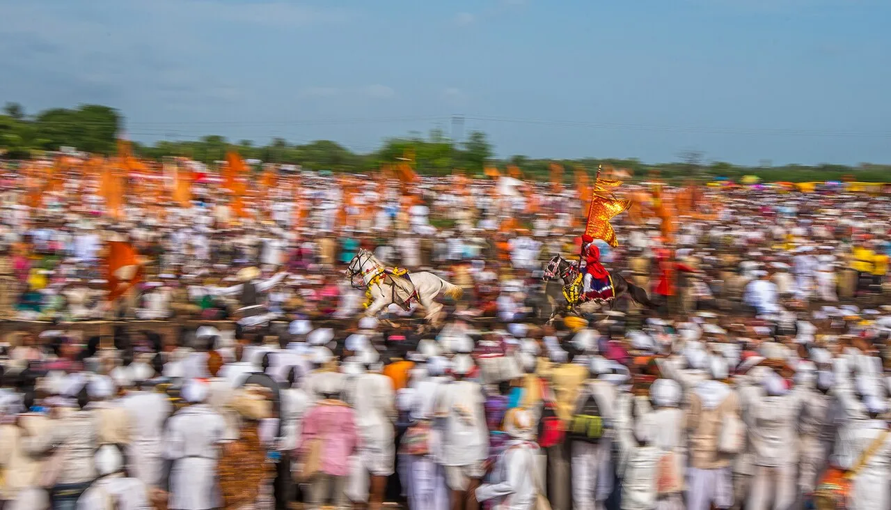
Dnyaneshwar Maharaj Palkhi 3rd Circular ringan program
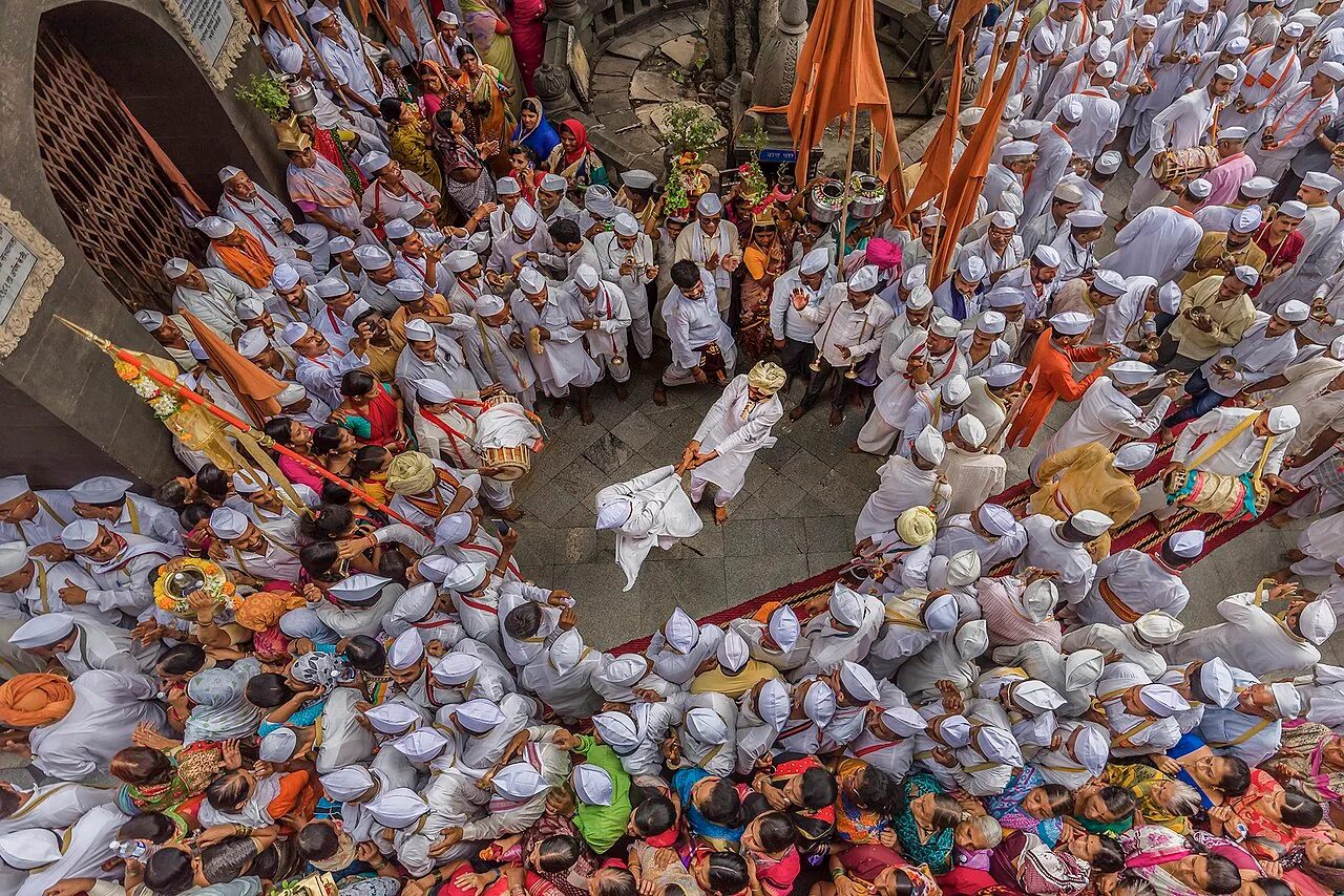
PHUGADI
Pandharpur Wari
Pandharpur Wari is a centuries-old yatra to Pandharpur, Maharashtra, honoring Vithoba by carrying the paduka of saints in a procession.
Narayan Maharaj's 1685 Innovation
While the Pandharpur pilgrimage is centuries old, carrying the footwear of the saints was not part of the original journey. Dnyaneshwar and Tukaram originally completed the fifteen-day walk to Pandharpur on foot themselves. In 1685, Tukaram's youngest son, Narayan Maharaj, introduced the tradition of carrying the paduka. This structural shift transformed the trek from an individual devotional walk into a multi-century memorial procession.
From Wikipedia · CC BY-SA 4.0
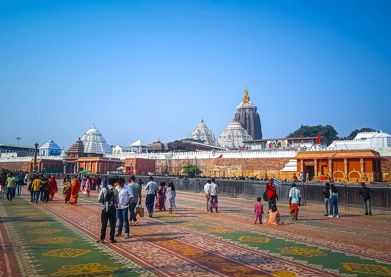
Jagannath Puri
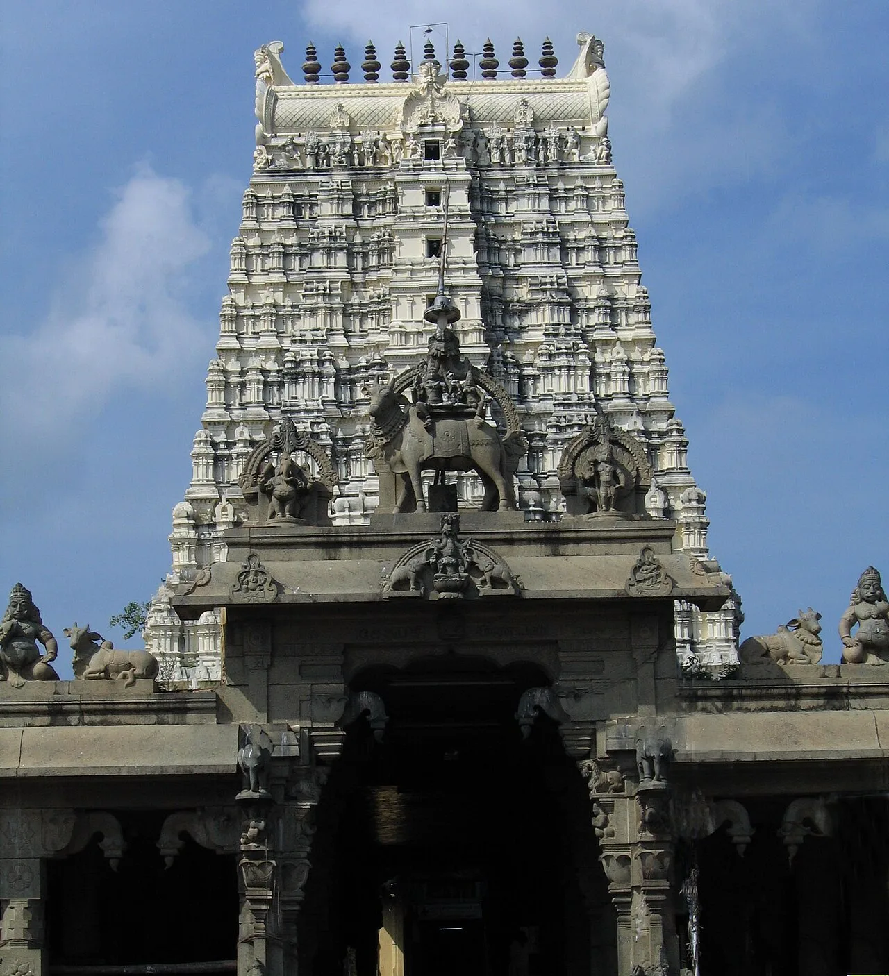
Rameswaram
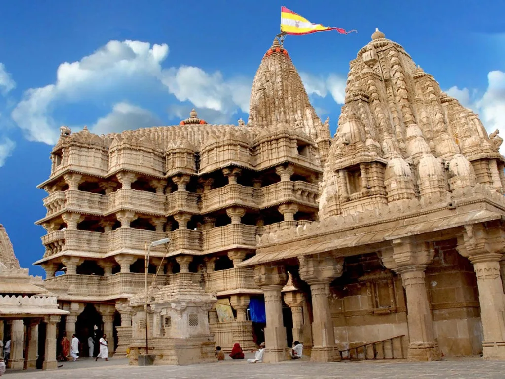
Dwarka
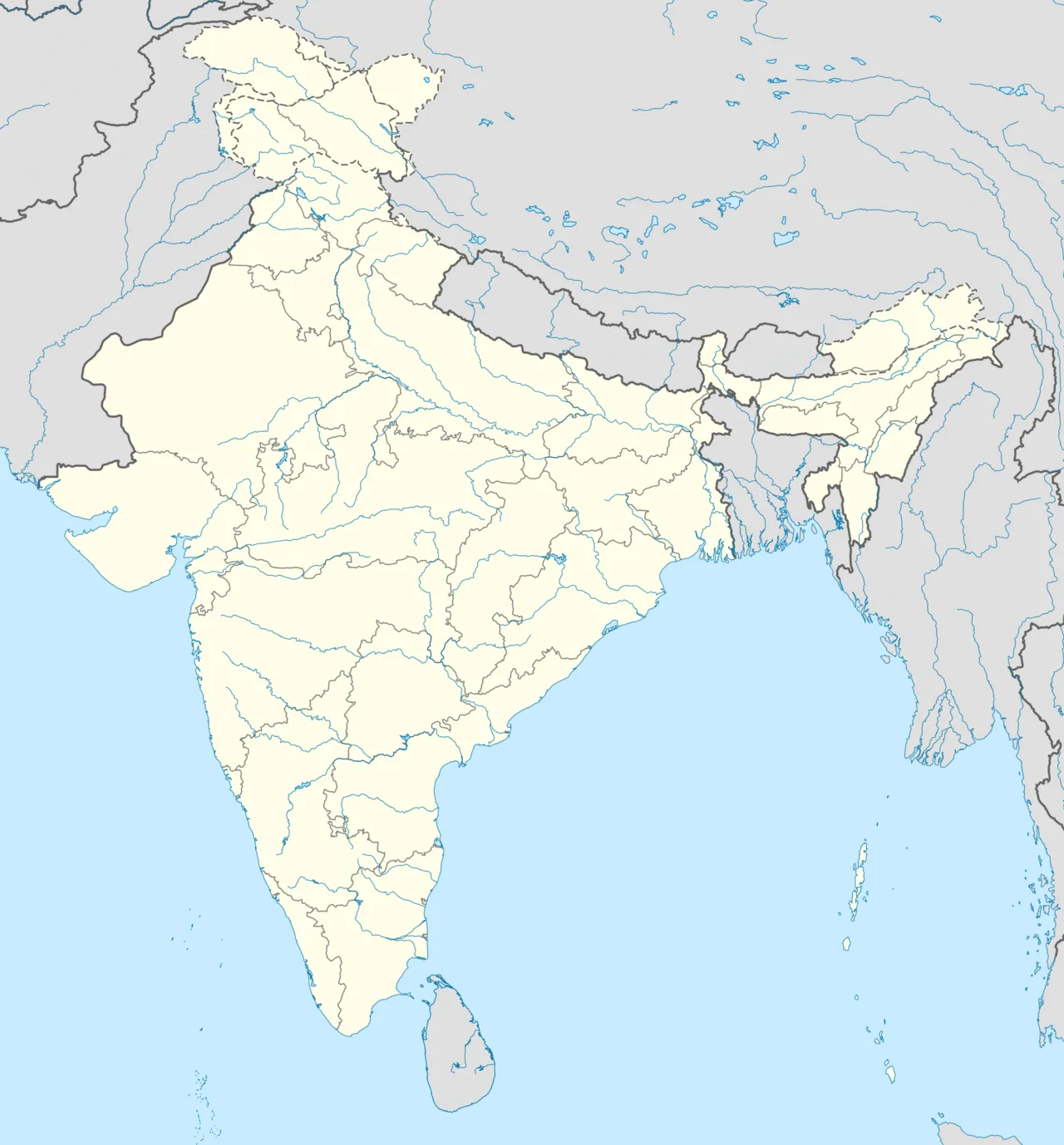
Char Dham is located in India
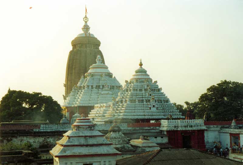
Jagannath Temple, Puri
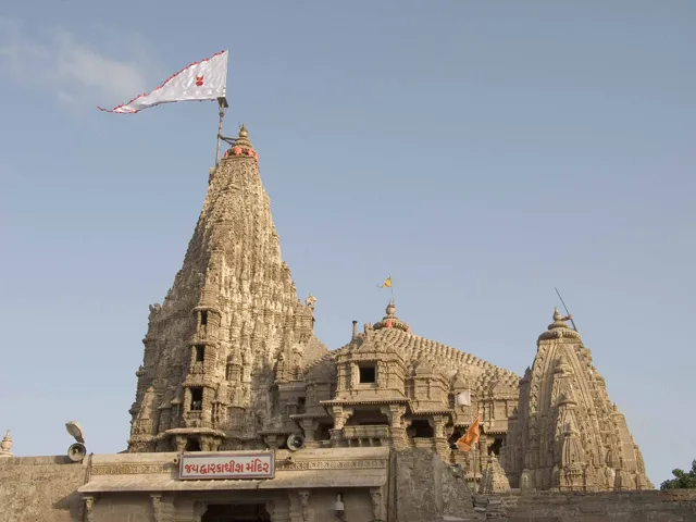
Dwarakadheesh Temple, Dwarka
Char Dham
The Char Dham is a set of four Hindu pilgrimage sites in India: Badrinath, Dwarka, Puri, and Rameswaram.
A Cosmological Timeline Across Four Corners
The monk Adi Shankara defined the Char Dham circuit so that each sacred site embodies a particular cosmic age. Within this framework, Badrinath represents Satya Yuga, while Rameswaram represents Treta Yuga. Completing the cosmic progression across India, Dwarka represents Dvapara Yuga, and Puri represents Kali Yuga.
From Wikipedia · CC BY-SA 4.0

Stamp of India - 2019 - Colnect 920082 - Char Dham Pilgrimage Sites Uttarakhand

Chota Char Dham is located in Uttarakhand
Chota Char Dham
The Chota Char Dham is a Hindu pilgrimage circuit in Uttarakhand, India, consisting of four sites: Gangotri, Yamunotri, Kedarnath, and Badrinath.
Codifying a Modern Himalayan Circuit in 1917
The four Garhwal shrines were first grouped in print in 1917, when Harikrishna Raturi listed them in The Narendra Hindu Law. During the second half of the 20th century, the label Chota Char Dham was coined as a regional tourism circuit. This modern branding created an integrated pilgrimage route representing two goddess sites, one Shaiva shrine, and one Vaishnava destination.
From Wikipedia · CC BY-SA 4.0
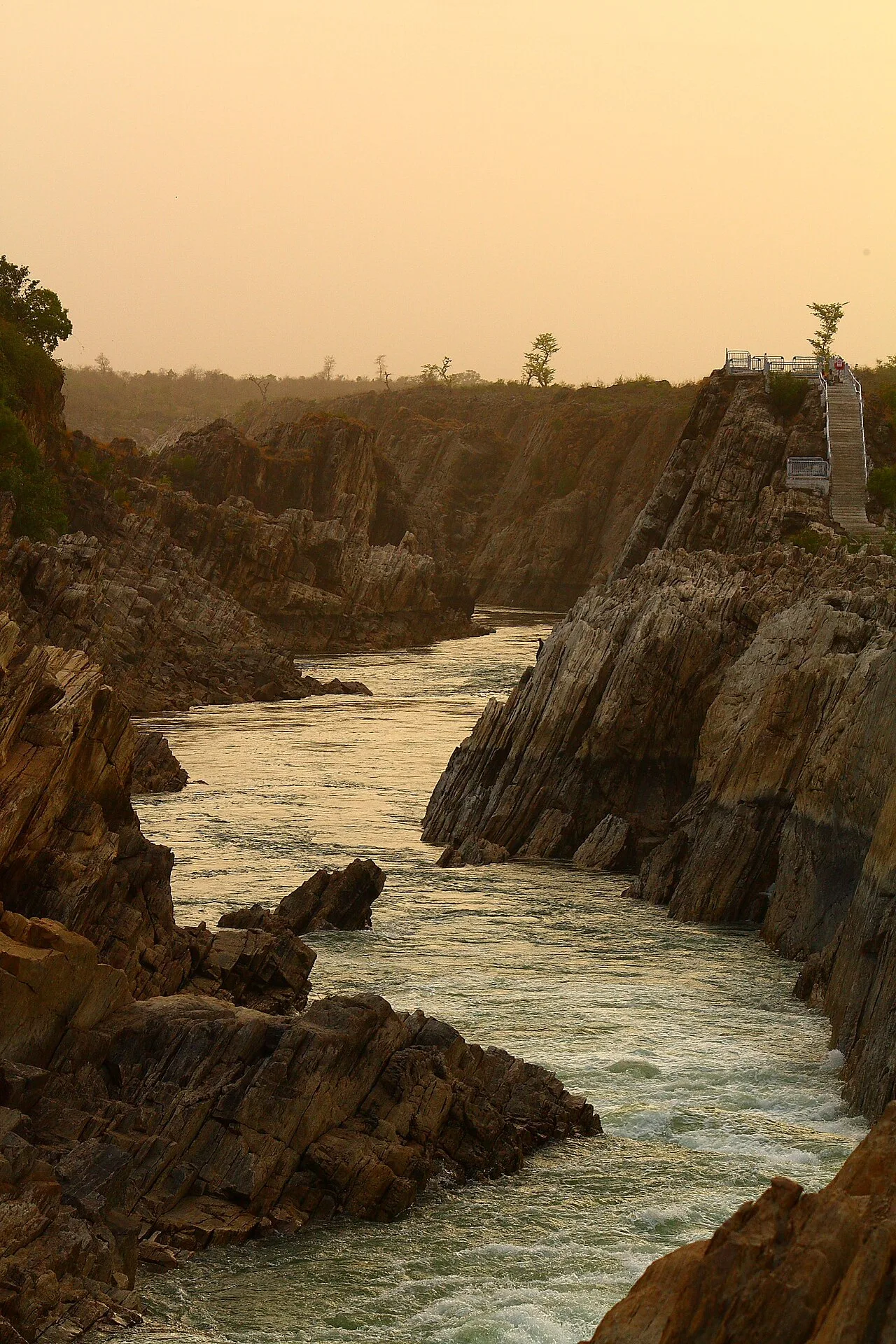
Narmada River Jabalpur India
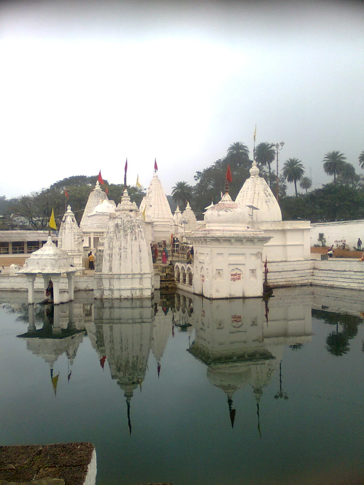
Narmada Kund, Narmada's origin at Amarkantak
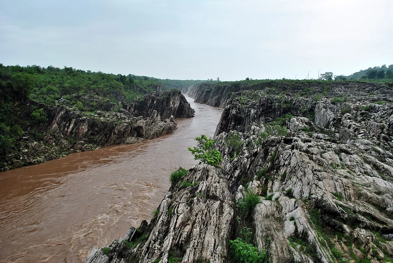
Narmada River flowing through a gorge of Marble Rocks in Bhedaghat
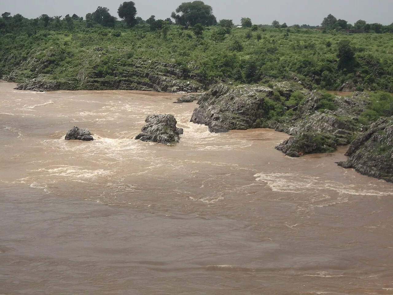
Narmada River at full flow during monsoon in Bhedaghat

Omkareshwar Temple on the banks of Narmada River

Layout of Water Resources Development Projects in the Narmada Basin in Gujarat and Madhya Pradesh
Narmada Parikrama
The Narmada River is the fifth-longest river in India and its longest west-flowing river, flowing through the states of Madhya Pradesh and Gujarat.
Marine Chasms and the Delta-Free Divide
Unlike most major peninsular streams, the Narmada flows through a tectonic graben framed by mountain scarps. Instead of depositing broad deltas, its waters empty directly through an expansive estuary into the Arabian Sea. Millions of years ago, ancient marine transgressions flooded this valley, cutting off land communication between northern and peninsular India.
From Wikipedia · CC BY-SA 4.0
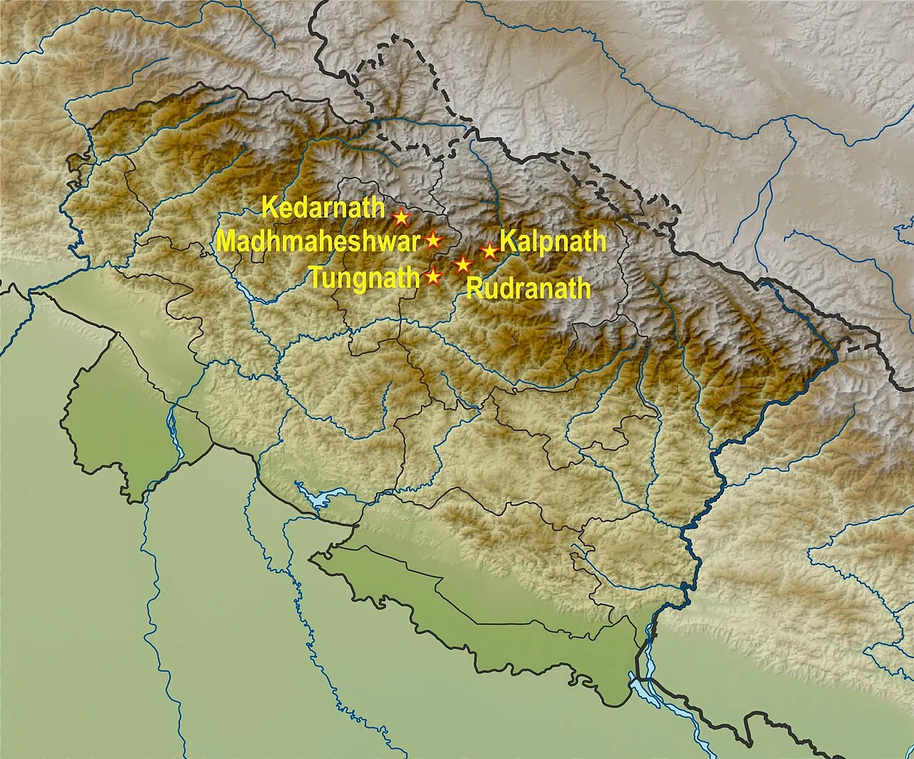
A map showing the Panch Kedar Hindu Tirtha sites, Uttarakhand India
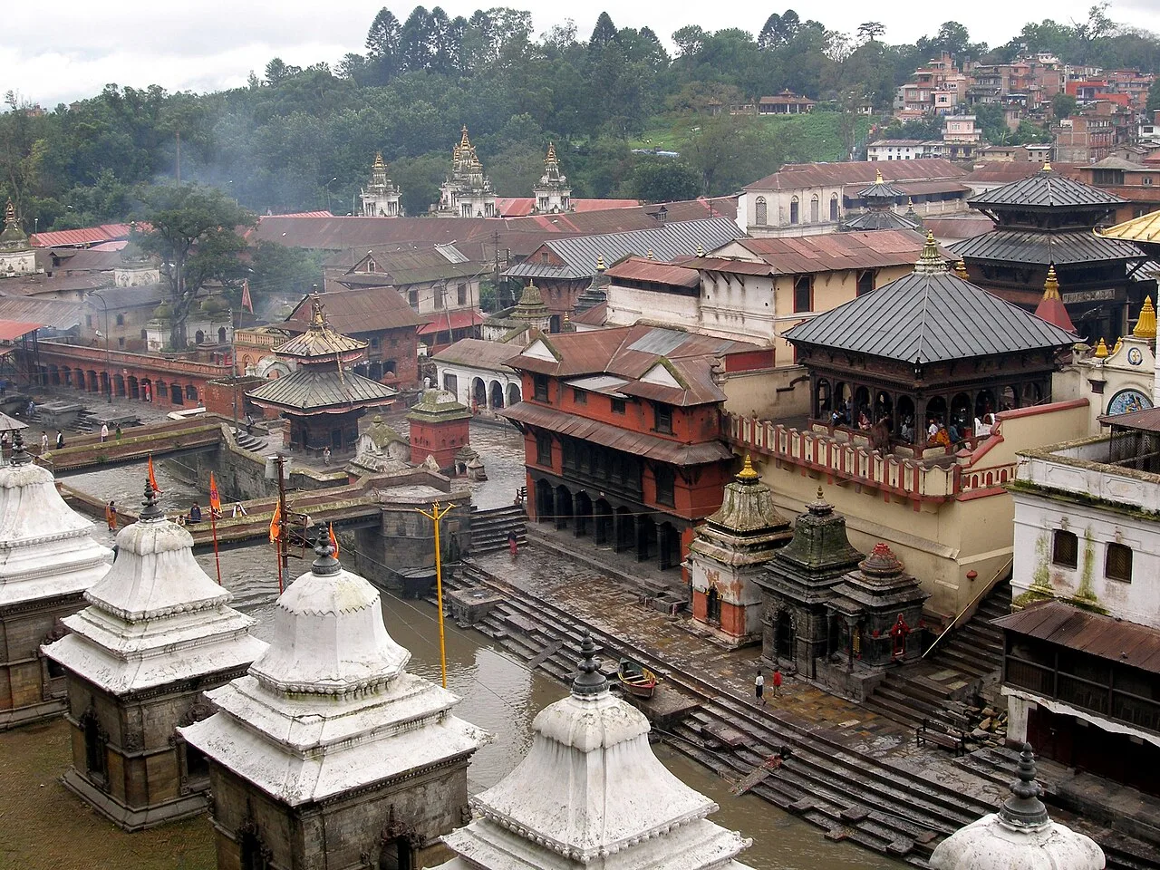
Overview of Pashupatinath temple complex in Kathmandu, Nepal
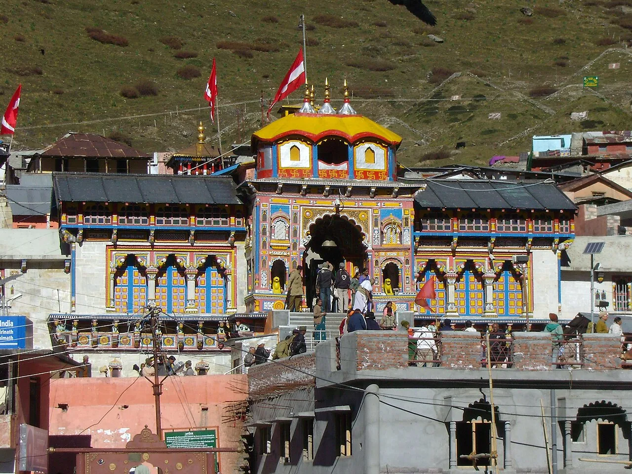
The Badrinath Temple
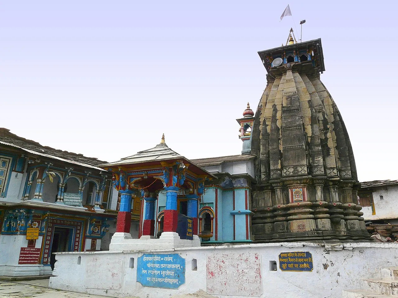
Ukhimath Temple, where the Kedarnath and the Madhyamaheshwar deities are kept during the winter months
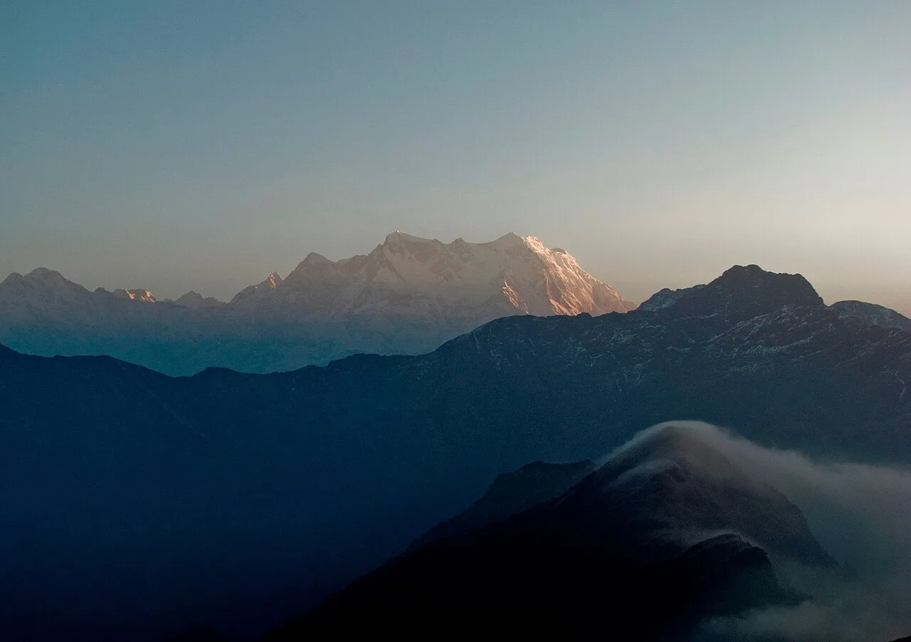
Chaukhamba peak
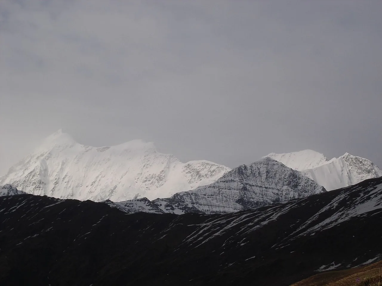
Trishul peak
Panch Kedar
Panch Kedar refers to five Hindu temples dedicated to Shiva in the Garhwal Himalayan region of Uttarakhand, India, linked by legend to the Pandavas.
Anatomical Reappearance Across Mountain Peaks
When pursued by the Pandavas, Shiva assumed the form of a bull to evade them before disappearing beneath the earth. He then resurfaced across Garhwal in distinct anatomical portions at separate sacred sites. Shiva's hump manifested at Kedarnath, his arms emerged at Tungnath, his face appeared at Rudranath, his navel and stomach surfaced at Madhyamaheshwar, and his hair showed up at Kalpeshwar.
From Wikipedia · CC BY-SA 4.0
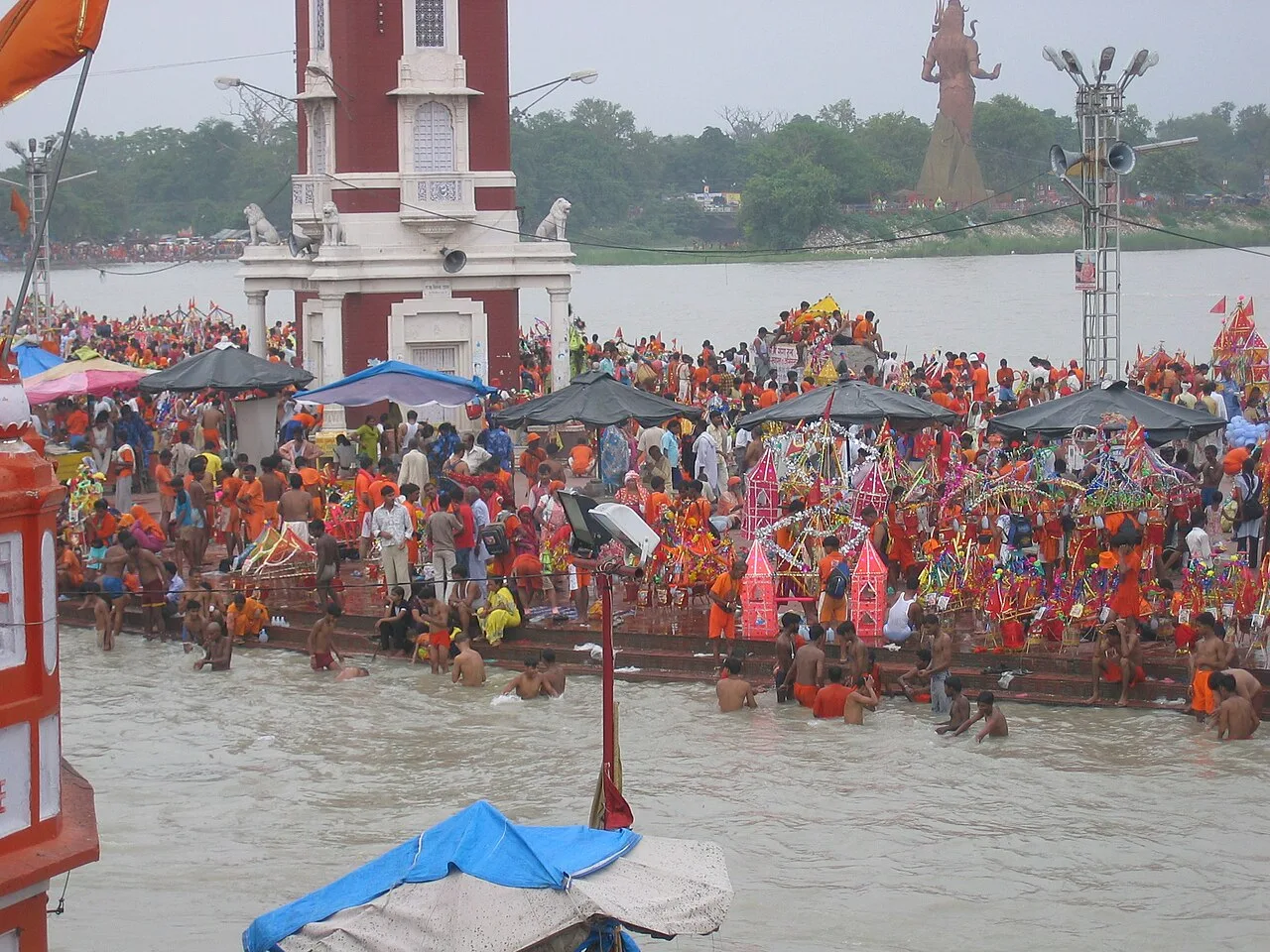
Har ki Pauri, thronged by Kanwarias, during the Kavad Mela, Haridwar.
SaivismFlag
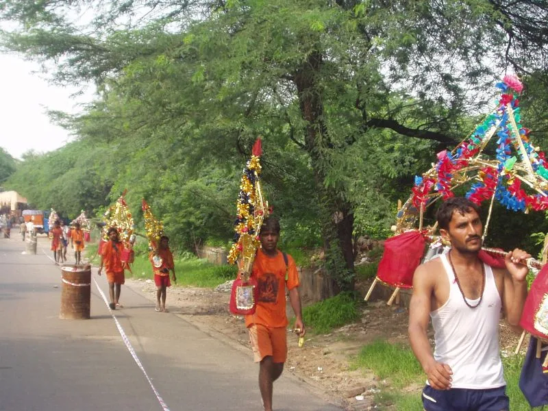
Bhole carrying kawar
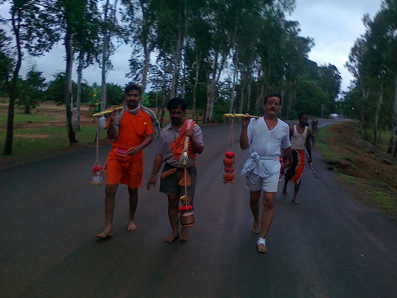
Bol Bam
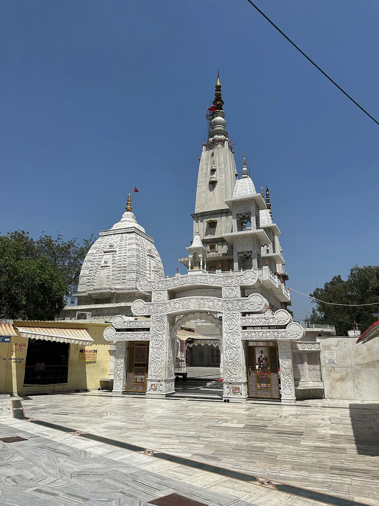
Augarnath Temple, one of the principal shrines of offerings
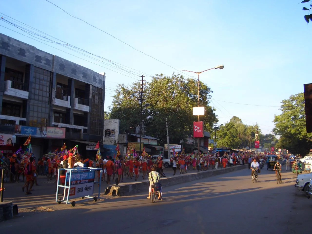
Kanwarias in Haridwar, 2007
Kanwar Yatra
The Kanwar Yatra is an annual Hindu pilgrimage where devotees of Shiva collect sacred water from the Ganges River to carry to their local shrines.
Origins in an 18th-Century Barefoot Route
Documented records trace the earliest organized version of this custom to the 1700s rather than ancient antiquity. According to Professor Devi Prasad Dubey of the University of Allahabad, barefoot devotees originally carried Gangajal from Sultanganj to the shrine of Vaidyanath in Deoghar. The practice began as an unorganized act of piety that was too small to attract British notice.
From Wikipedia · CC BY-SA 4.0