Coat of arms of Bali
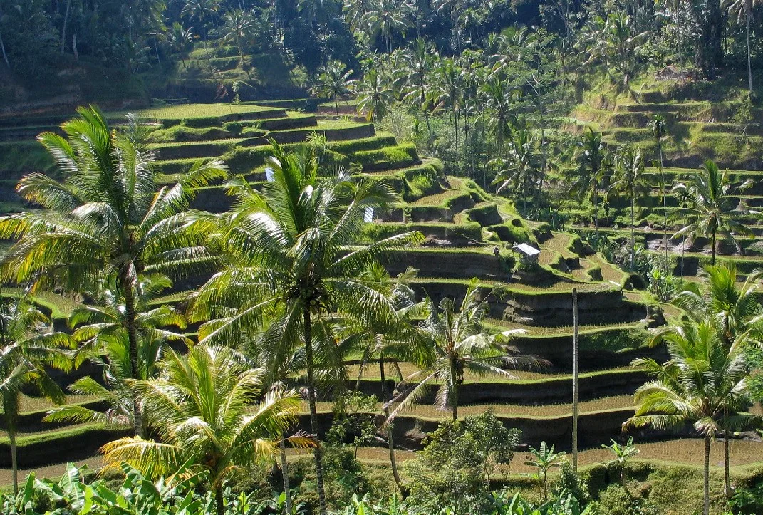
The Subak irrigation system has existed since the 9th century.
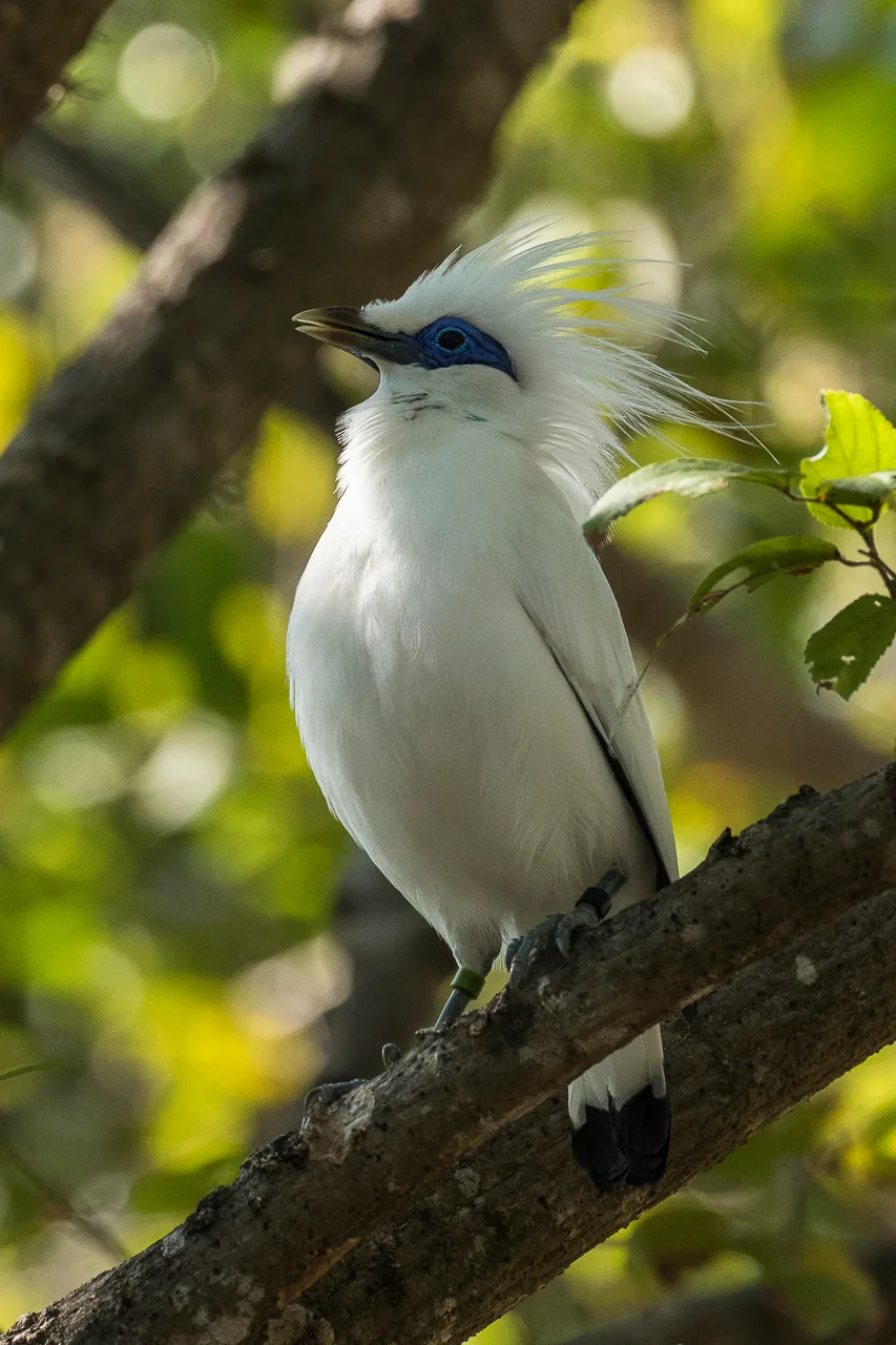
Bali myna (Jalak Bali) is one of the protected birds located in West Bali National Park

Bali Governor's Office
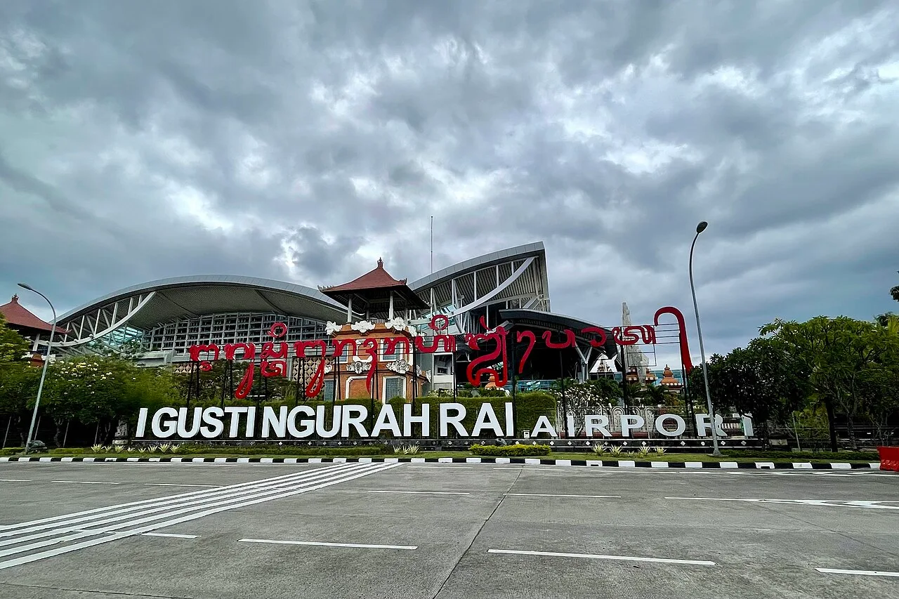
I Gusti Ngurah Rai International Airport
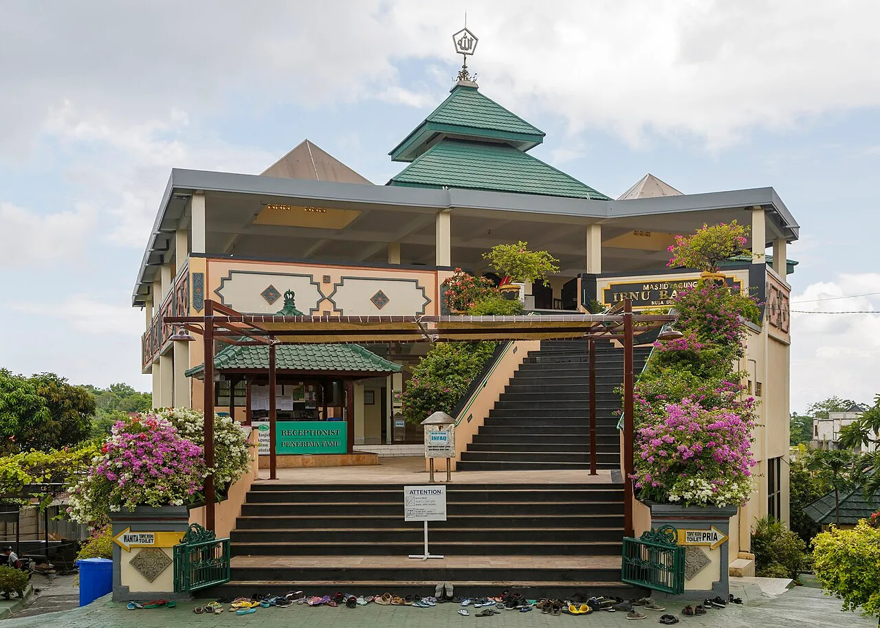
Ibnu Batutah Mosque, Kuta
Bali
Bali is an Indonesian island and province located in the Lesser Sunda Islands, east of Java and west of Lombok.
Sacred Directionality Between Volcano and Sea
Balinese architecture maps spiritual ethics directly onto the landscape through the directional axes of kaja and kelod. Mountainous high ground toward Gunung Agung represents divine purity, while the seaward realm signifies malevolent spirits and uncleanliness. To shield sacred rites from commercial intrusion, authorities in 1971 codified a three-tiered spatial system separating inner sanctum wali offerings for gods from secular bali-balihan entertainment.
From Wikipedia · CC BY-SA 4.0
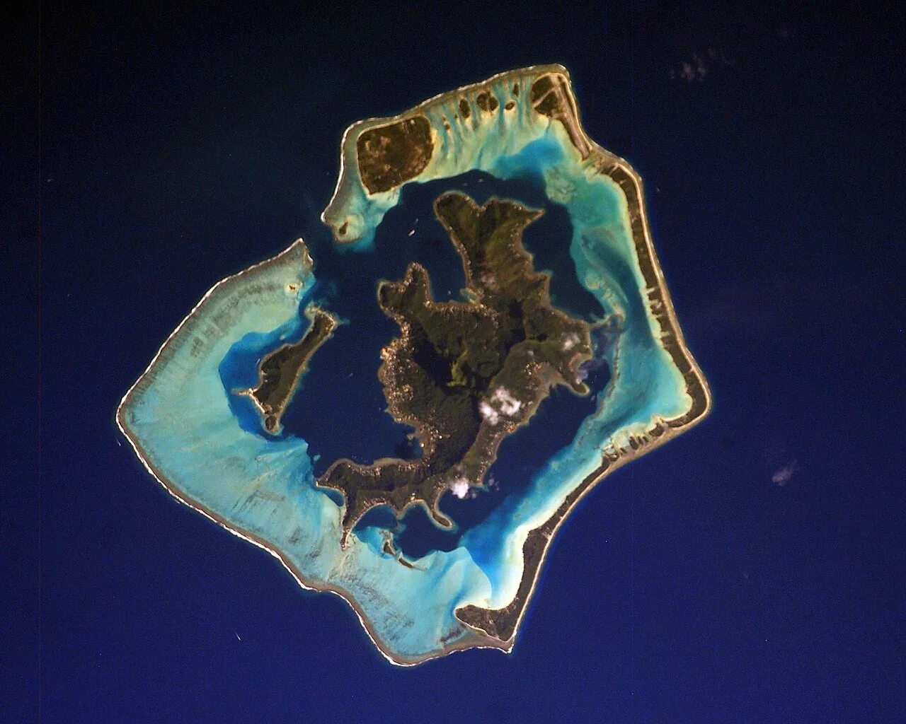
Bora Bora ISS006
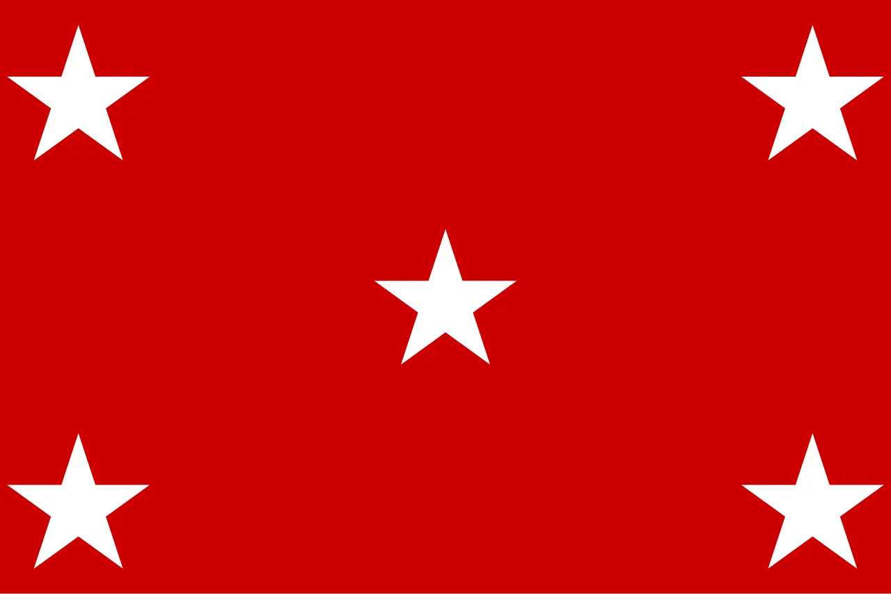
Flag of the Kingdom of Bora Bora (1837–1842)
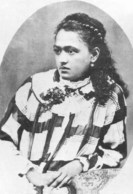
Teriimaevarua III, last Queen of Bora Bora
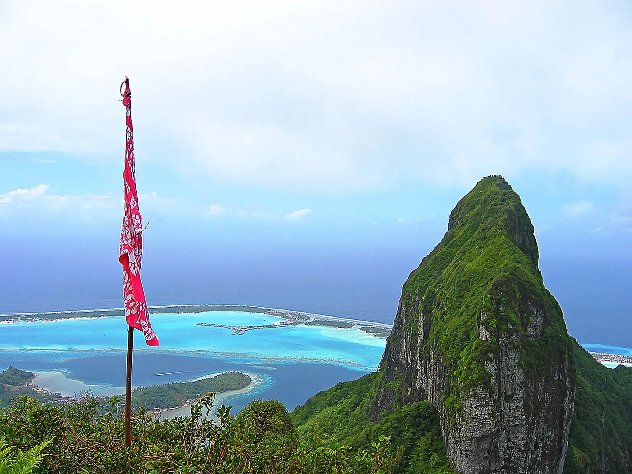
Mount Otemanu, Bora Bora
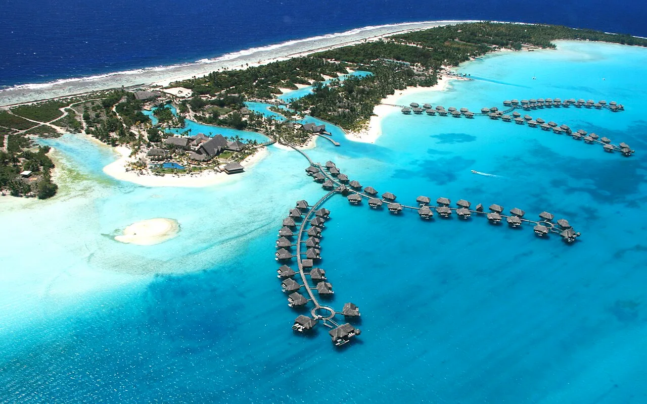
Four Seasons Resort Bora Bora
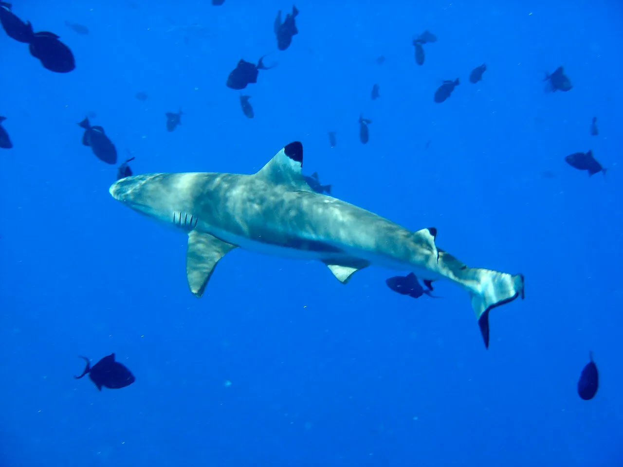
Blacktip reef shark (Carcharhinus melanopterus) at Bora Bora
Bora Bora
Bora Bora is an island group in the Leeward Islands of French Polynesia in the South Pacific.
Linguistic Hearing and Western Cartography
The island's modern name originated from European interpretation of Polynesian speech sounds. In ancient Tahitian, the island was known as Porapora mai te pora, meaning "created by the gods." Because local Tahitian pronunciation makes the initial consonants ambiguous to European ears, Dutch explorer Jacob Roggeveen and his crew adopted the spelling Bora Bora upon landing. This transcribed version became permanently fixed in Western cartography.
From Wikipedia · CC BY-SA 4.0
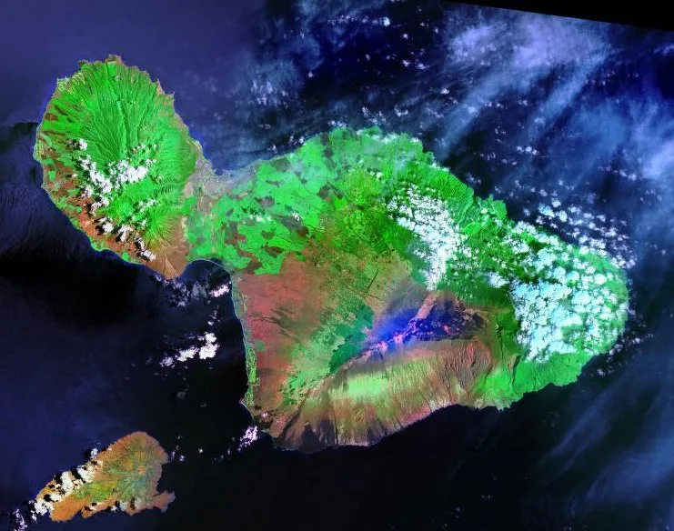
Maui Landsat Photo
![Maui (center right, with Molokaʻi, Lānaʻi, and Kahoʻolawe to its left) as seen from the International Space Station[2]](https://nwjvzop1xgplmzvt.public.blob.vercel-storage.com/wikifeed/maui/1-06b65952ab.webp)
Maui (center right, with Molokaʻi, Lānaʻi, and Kahoʻolawe to its left) as seen from the International Space Station[2]
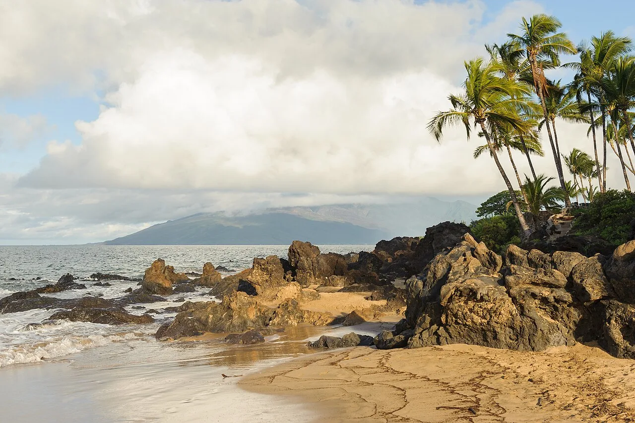
Volcanic rocks protrude on a Maui beach
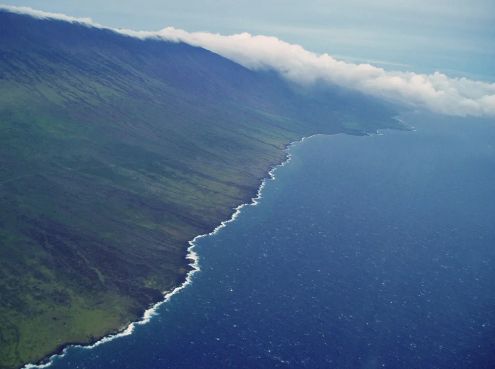
Kahikinui coastline near Kaupo
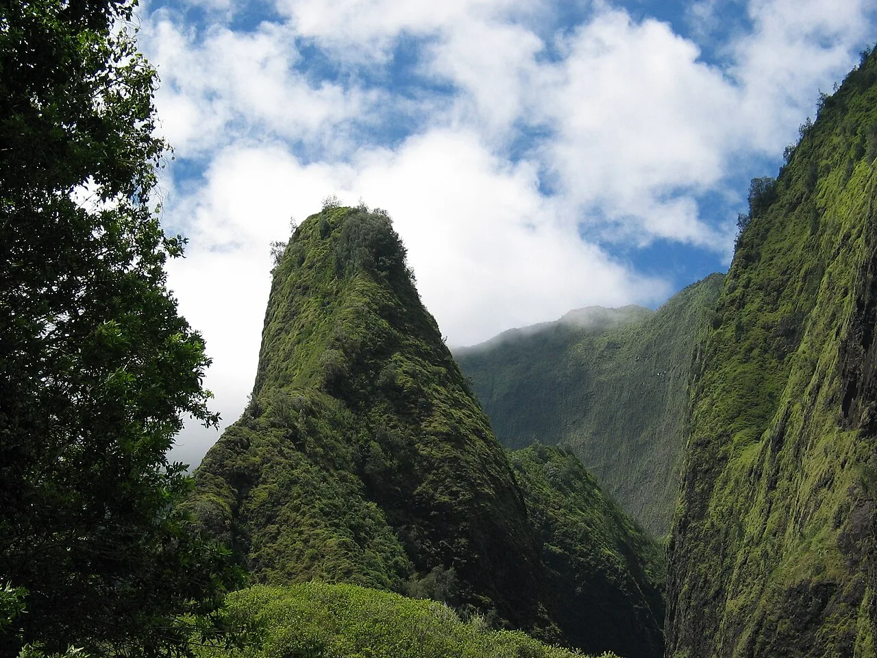
The "needle" of ʻĪao Valley
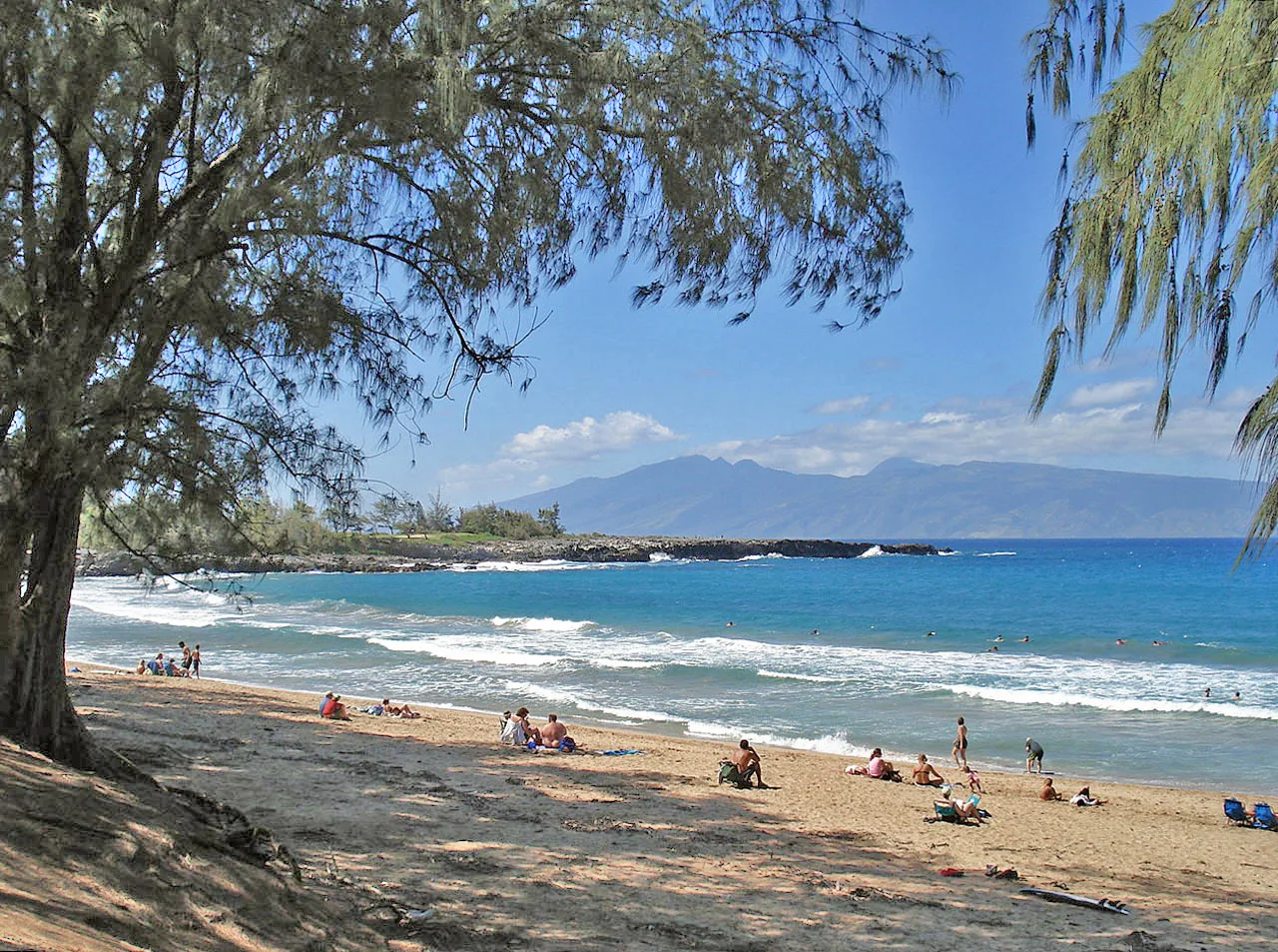
Fleming Beach near Kapalua
Maui
Maui is the second-largest island in the Hawaiian archipelago and the 17th-largest in the United States.
Two Volcanoes Fused as a Doublet
Rather than a solitary landmass, Maui is a volcanic doublet formed by the overlap of two distinct shield volcanoes. The island's last volcanic eruption likely occurred between 1480 and 1600 from Haleakalā's Southwest Rift Zone. These historical flows formed Cape Kīnaʻu between ʻĀhihi Bay and La Perouse Bay, proving the massive peak is dormant rather than extinct.
From Wikipedia · CC BY-SA 4.0
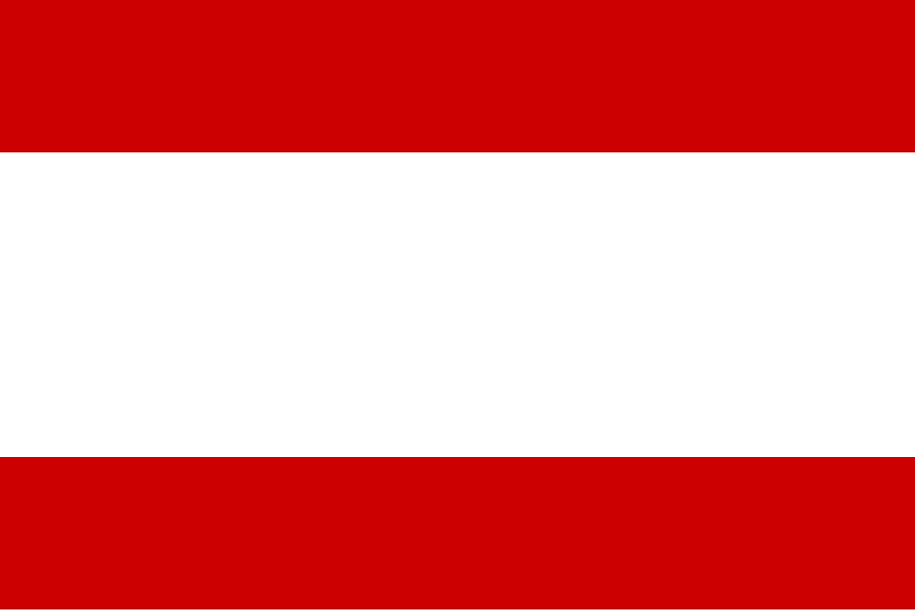
Flag of Tahiti
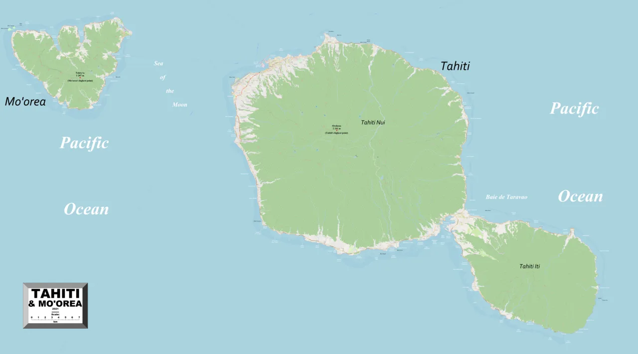
Tahiti-Moʻorea map
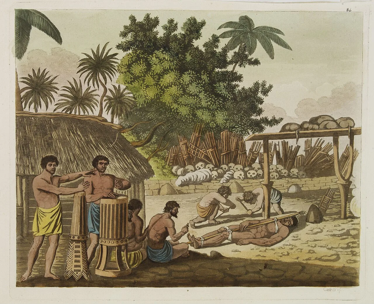
An 1827 representation of human sacrifice in Tahiti, based on the account of Captain Cook c. 1773.
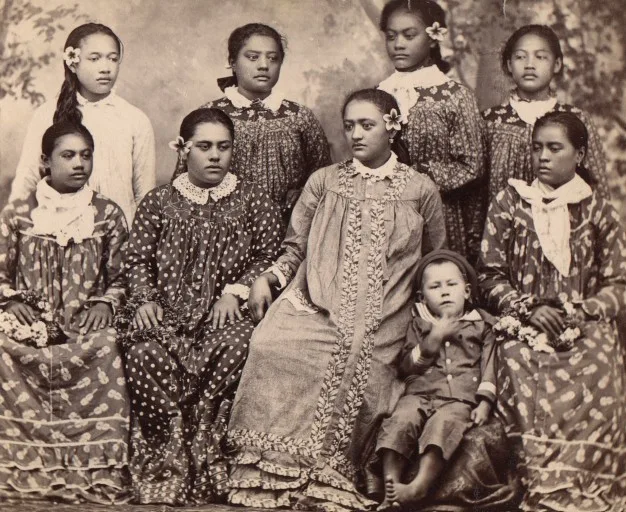
Tahitians in missionary robes
![Queen Pomare and her family on the verandah of Mr. Pritchard's house, during the French Invasion of Tahiti[43]](https://nwjvzop1xgplmzvt.public.blob.vercel-storage.com/wikifeed/tahiti/4-bb686a7ff6.webp)
Queen Pomare and her family on the verandah of Mr. Pritchard's house, during the French Invasion of Tahiti[43]
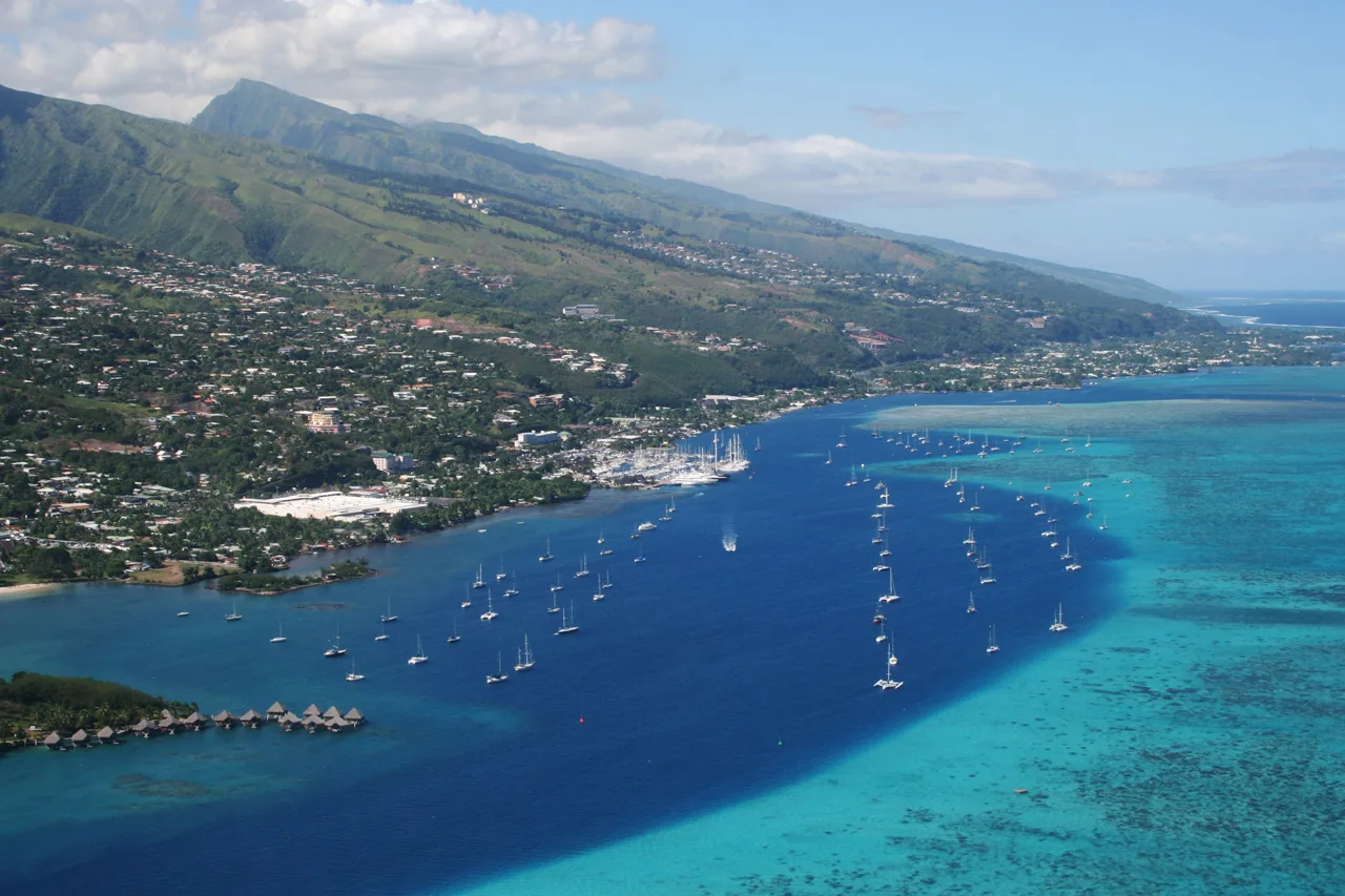
Southern suburbs of Papeʻete (commune of Punaʻauia)
Tahiti
Tahiti is the largest island of the Society Islands in French Polynesia, located in the central Pacific Ocean.
Grammatical Confusion Behind "Otaheite"
Early European navigators who charted the South Pacific mistakenly recorded the island's name as Otaheite because of a basic linguistic misunderstanding. When foreign visitors inquired about the name of the territory, local islanders answered with the standard phrase "'o Tahiti", which simply translates to "it is Tahiti". This phonetic misinterpretation entered colonial records and persisted across decades of exploration logs.
From Wikipedia · CC BY-SA 4.0
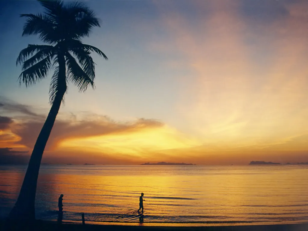
Lipa Noi Beach
Official seal of Ko Samui
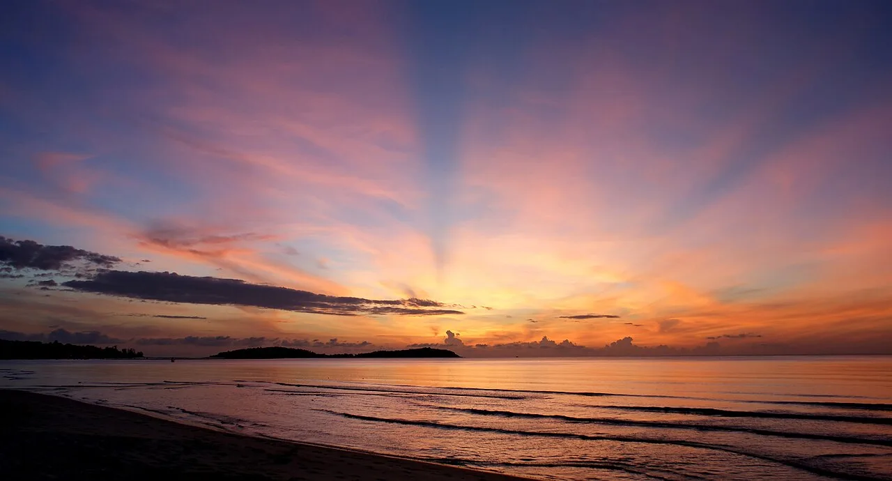
Sunrise, Ko Samui
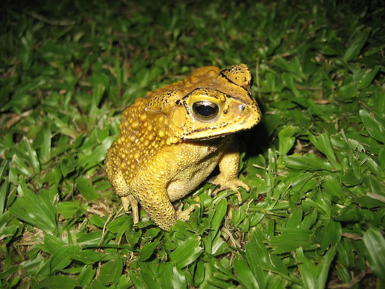
One of many species of frogs found on Ko Samui
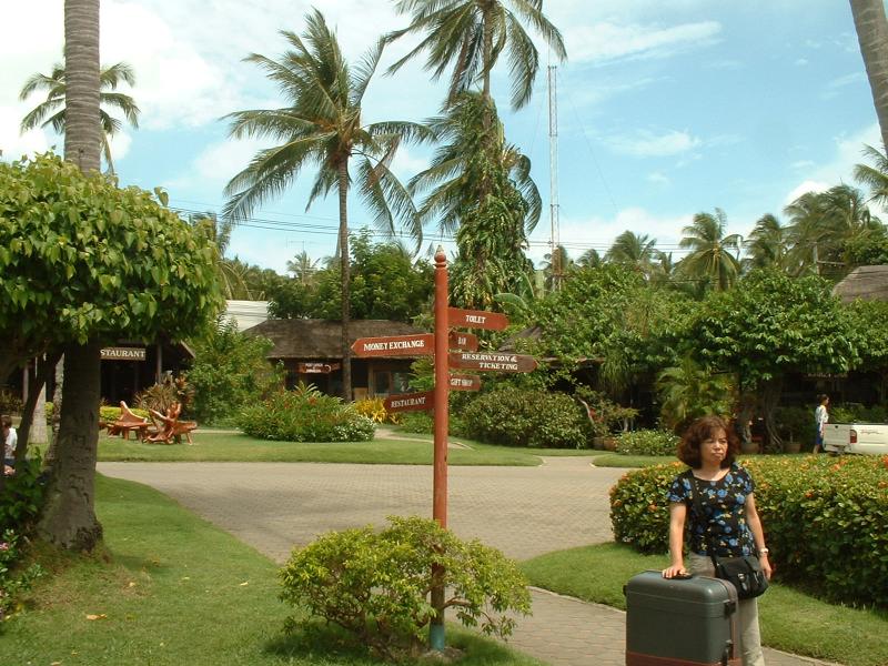
Old Samui International Airport
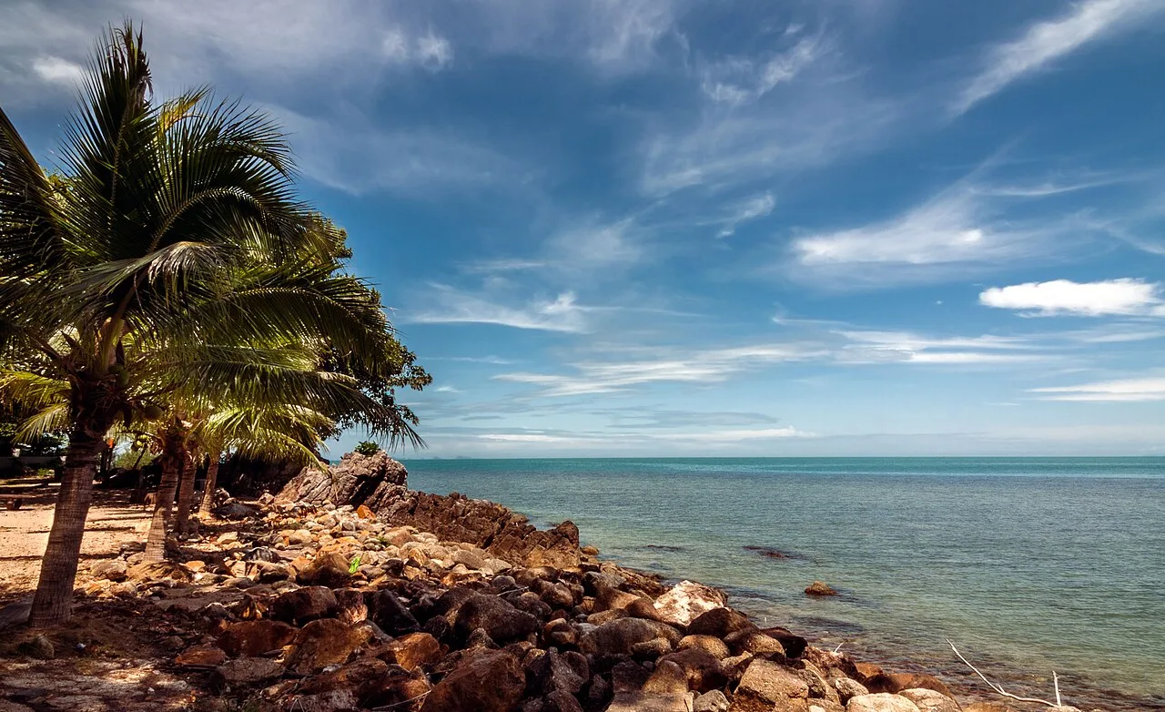
Laem Yai Cape from Bang Po Beach
Ko Samui
Ko Samui is an island off the east coast of Thailand and the country's second-largest island after Phuket.
The Wreckage of a Wartime Japanese Tanker
During World War II, the island served as an operational base for Japan in conjunction with Thailand's Navy. This military presence left the surrounding waters dotted with wartime shipwrecks resulting from Allied clashes. A massive explosion reported by residents was later identified by academic Paul Chambers as a Japanese tanker bombed off the coast on 15 June 1945.
From Wikipedia · CC BY-SA 4.0
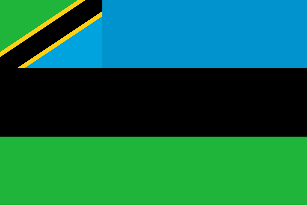
Flag of Zanzibar
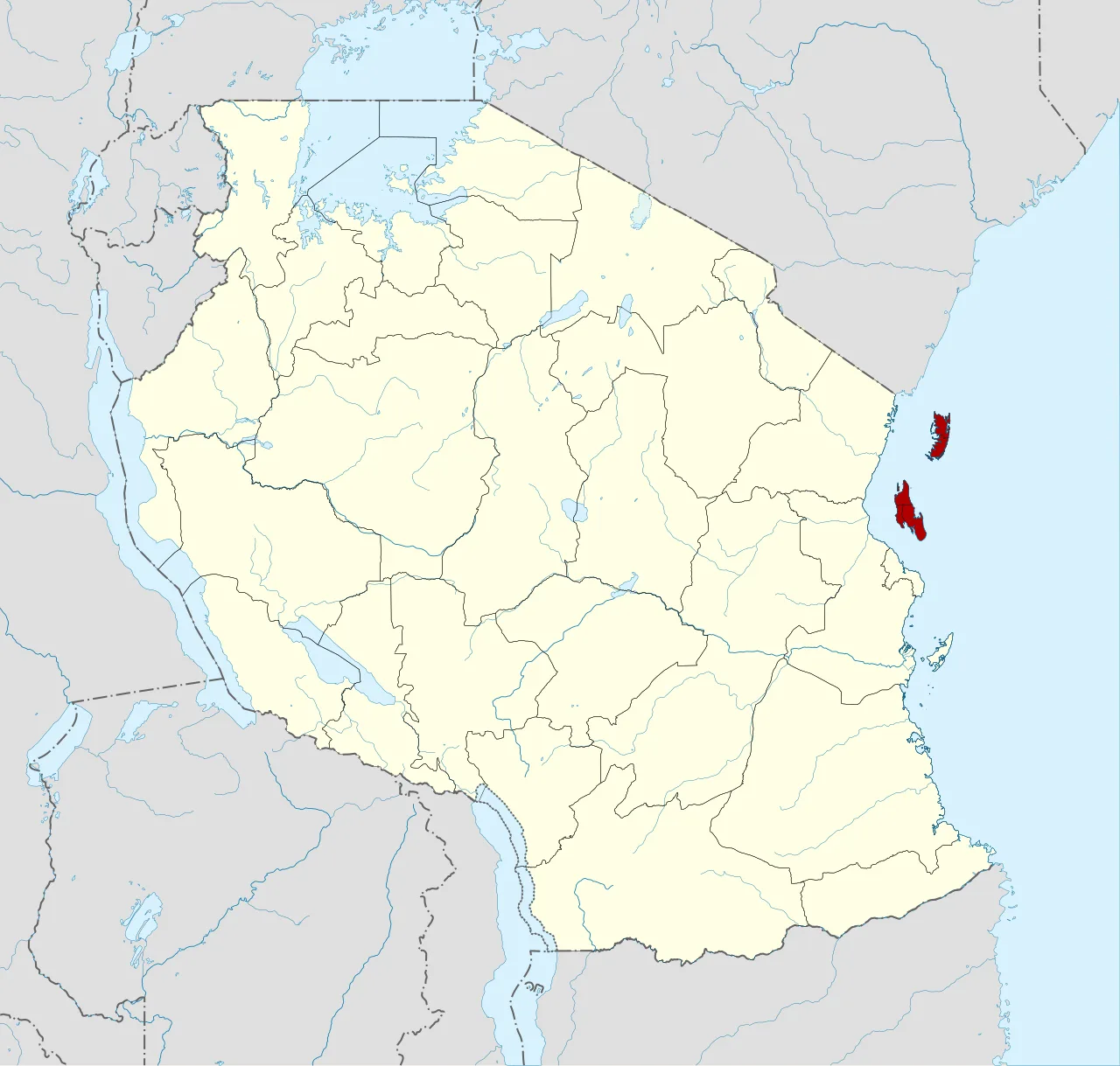
Location of Zanzibar within Tanzania
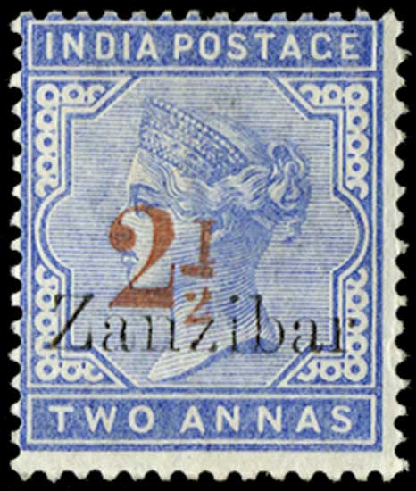
The post office in Zanzibar was initially managed by the postal service of British India.
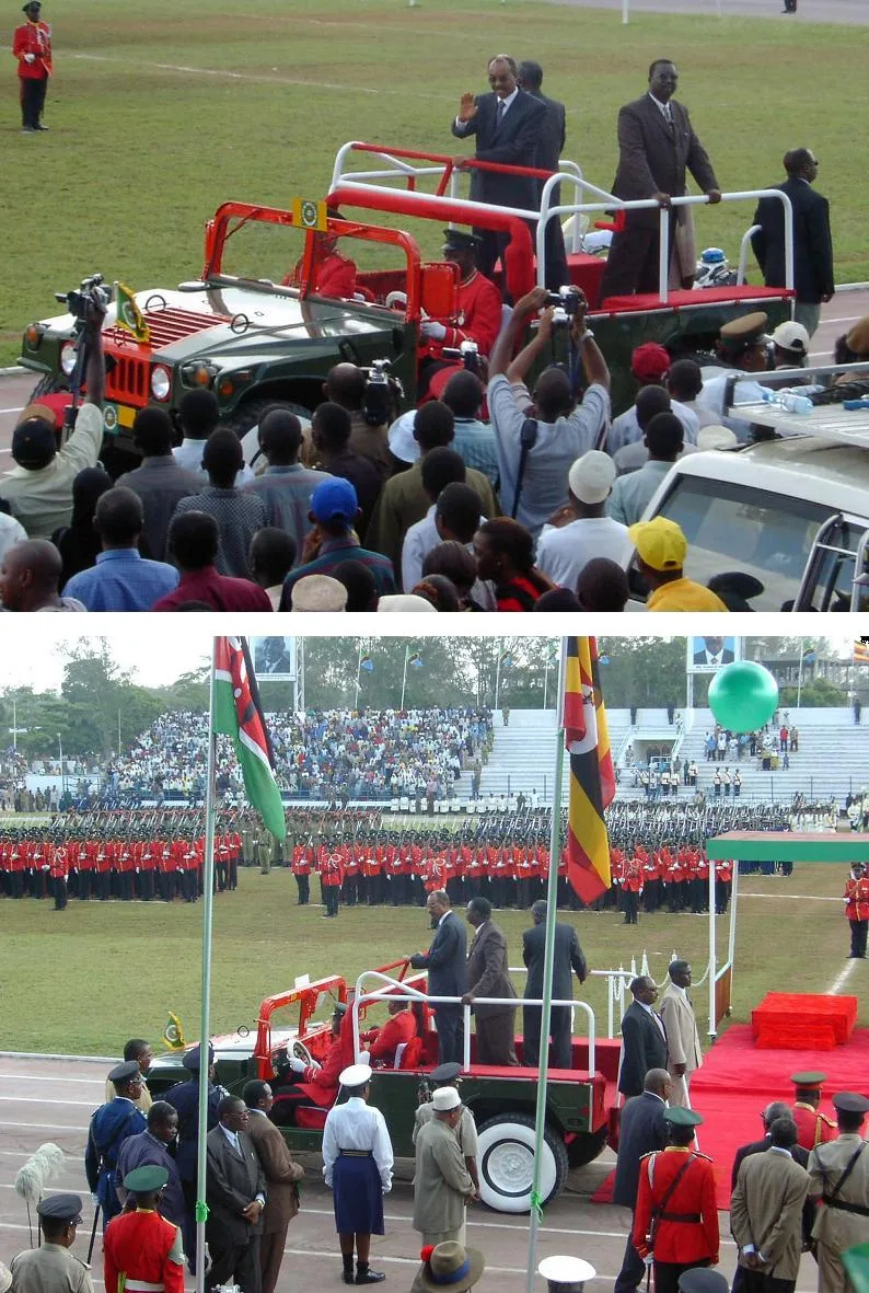
12 January 2004: President Karume of Zanzibar enters Amani Stadium for the celebration of the 40th anniversary of Zanzibar's 1964 revolution.
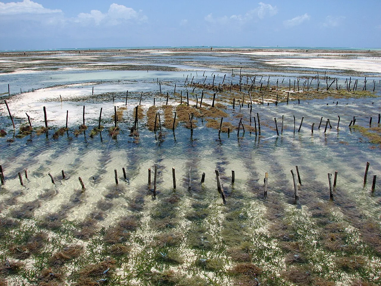
Aquaculture of red algae (Eucheuma), Jambiani
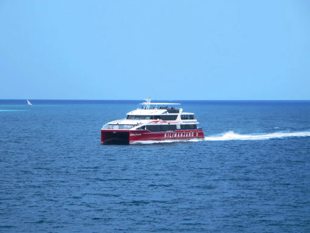
Fast ferry services operate several times a day between Dar es Salaam and Zanzibar
Zanzibar
Zanzibar is a Tanzanian archipelago in the Indian Ocean off the coast of East Africa, consisting of Unguja, Pemba Island, and many small islands.
Thirty-Eight Minutes to Surrender at Beit al Hukum
A disputed royal succession in late August 1896 triggered the briefest armed conflict recorded in world history. When Sultan Khalid bin Barghash assumed power without British endorsement, the Royal Navy opened fire on the Beit al Hukum Palace on the morning of 27 August 1896. A ceasefire was reached roughly 38 minutes later, successfully unseating Khalid and securing the installation of the British-backed Sultan Hamoud.
From Wikipedia · CC BY-SA 4.0
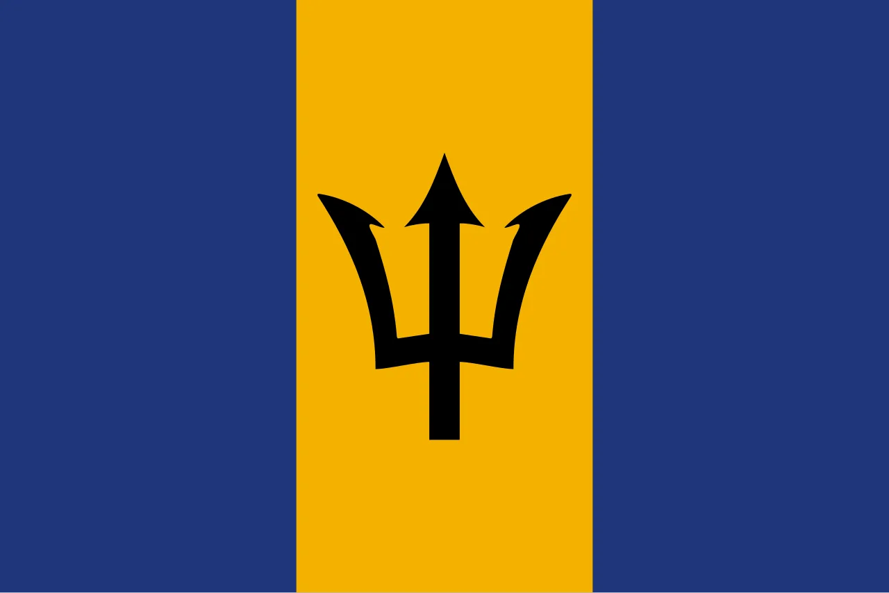
Flag of Barbados
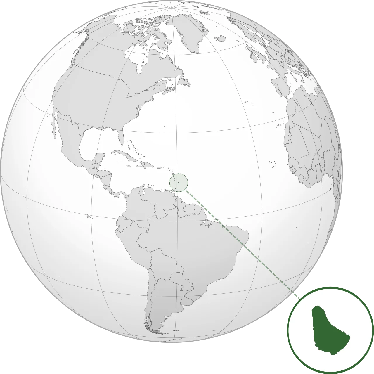
Location of Barbados
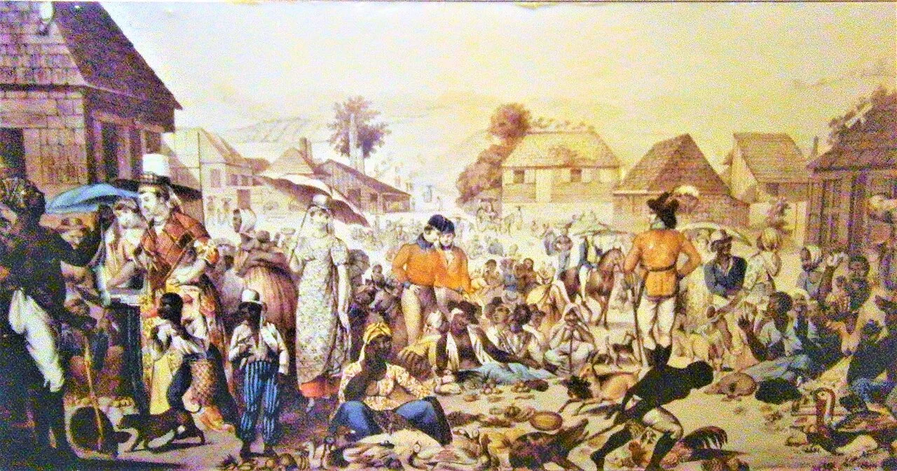
Sunday market in Barbados during the colonial era
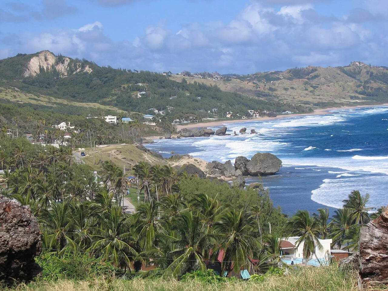
Bathsheba, Saint Joseph
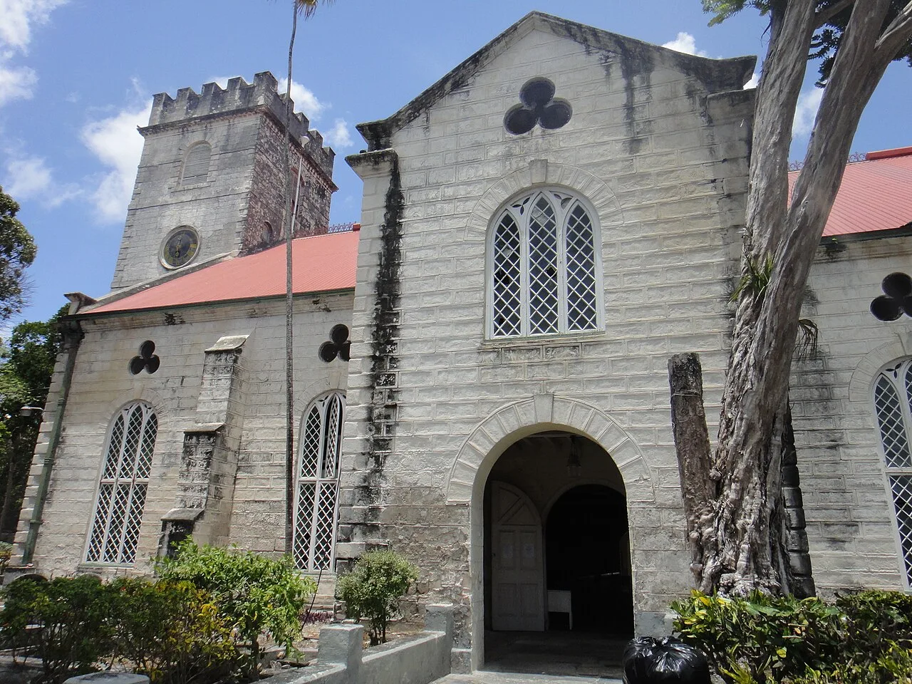
Cathedral Church of Saint Michael and All Angels, Bridgetown
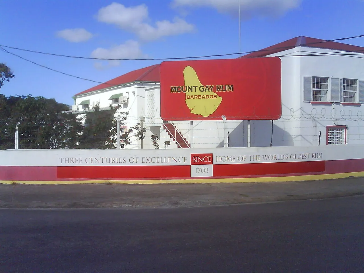
Mount Gay Rum visitors centre
Barbados
Barbados is an island country in the Lesser Antilles of the West Indies, located in the Caribbean with its capital at Bridgetown.
Rising Mantle and Uplifted Ancient Coral
Barbados was formed around 700,000 years ago when a soft rock diapir rose from the mantle beneath the Atlantic Ocean. Unlike many of its volcanic neighbours, the island continues to elevate at an average rate of 30 centimetres per thousand years. This slow upward thrust has lifted extensive coral reefs above the waterline, creating a distinct landscape of inland marine terraces and limestone cliffs.
From Wikipedia · CC BY-SA 4.0
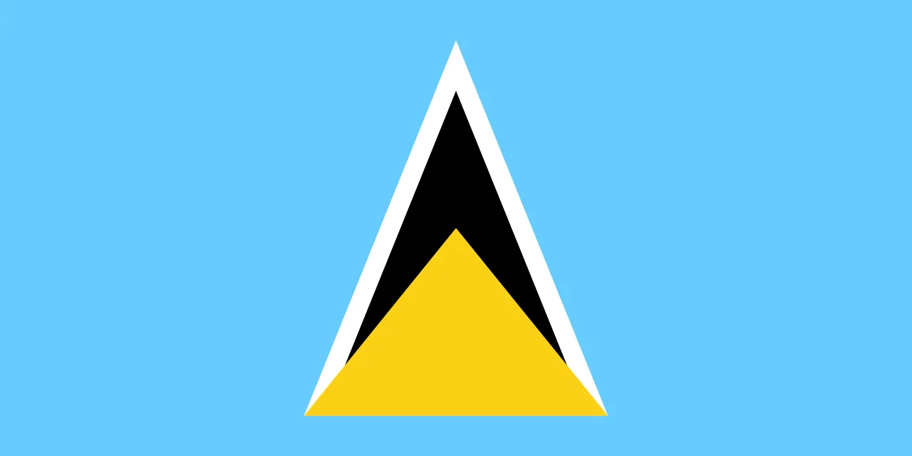
Flag of Saint Lucia
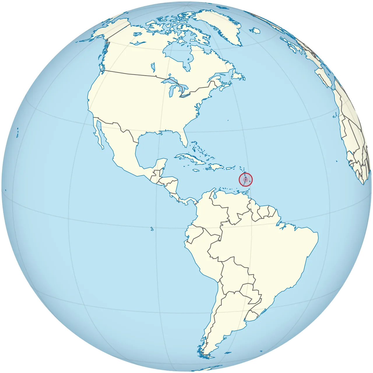
Location of Saint Lucia (circled in red) in the Caribbean
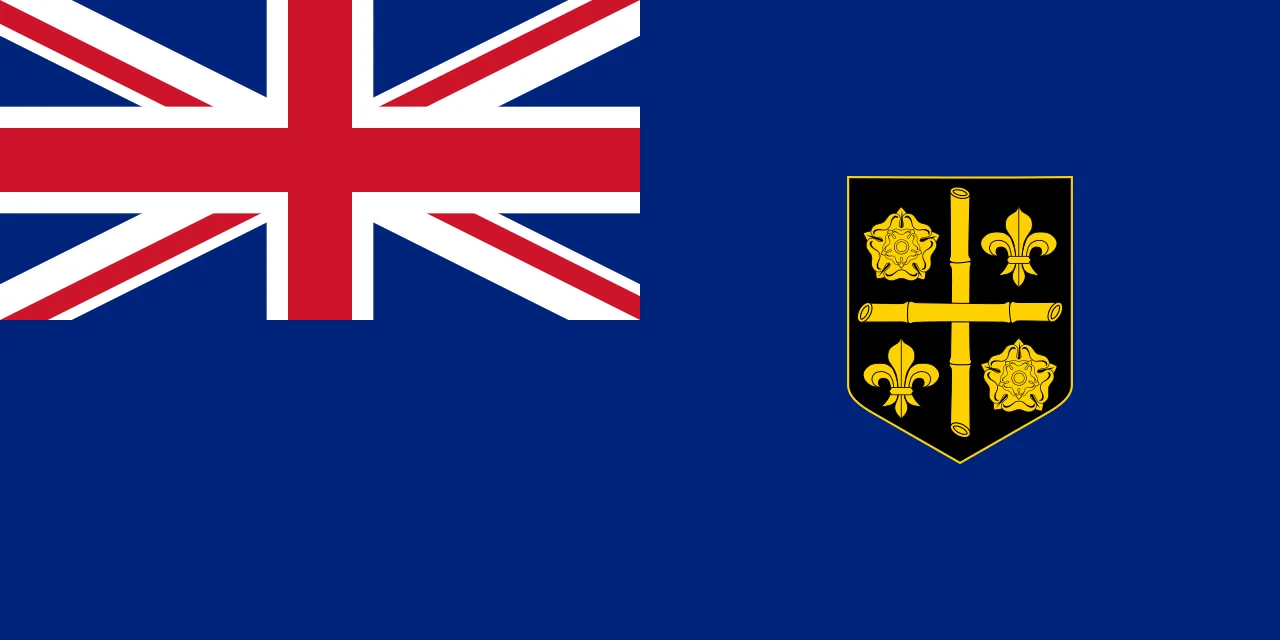
Flag of Saint Lucia 1939–1967
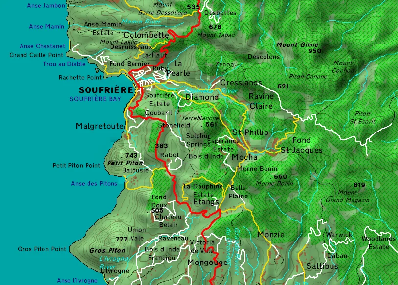
Topography of the Soufriere Volcanic Complex
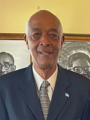
Acting Governor-General of Saint Lucia:Felix Finisterresince1 August 2026
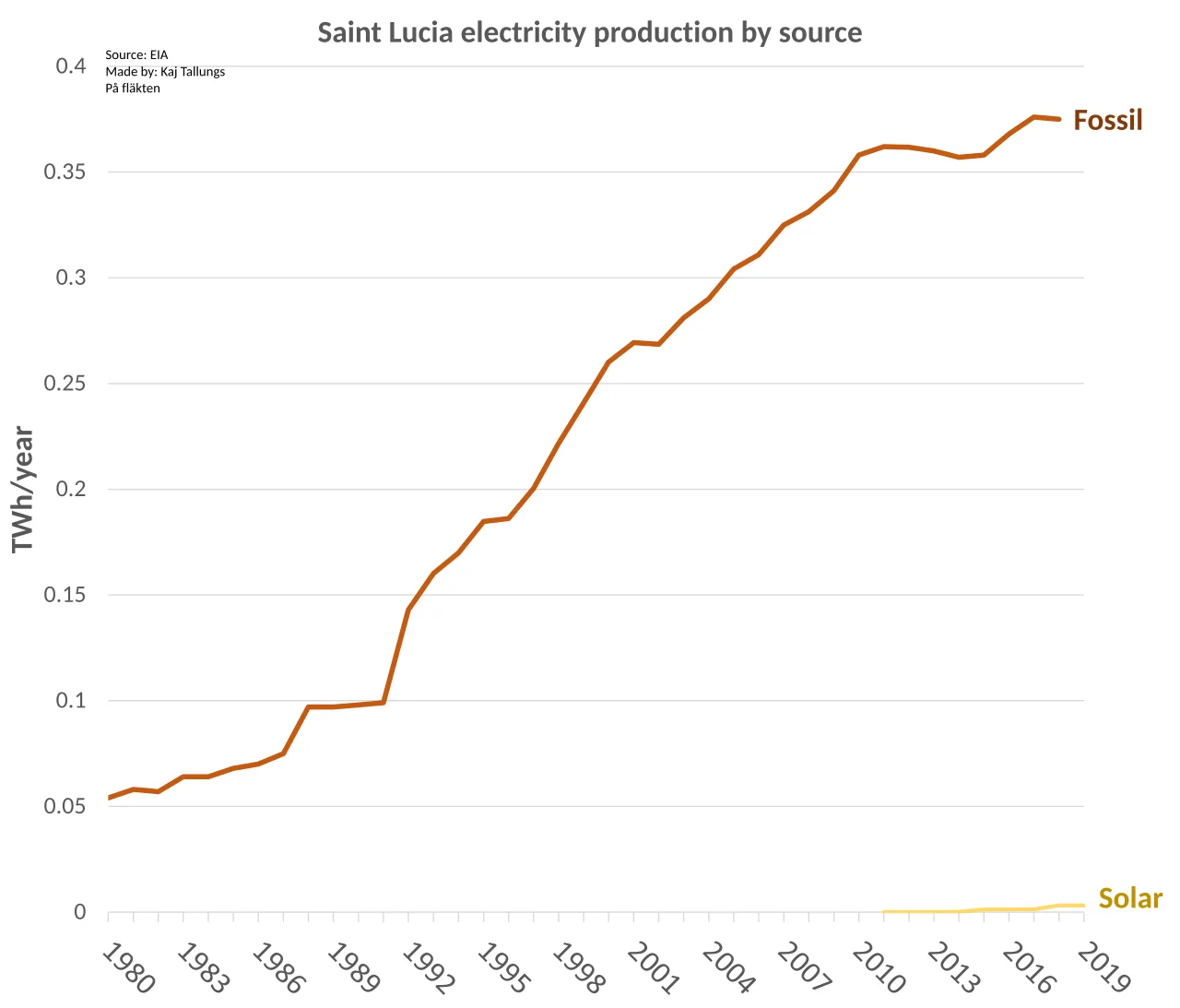
Saint Lucia electricity production by source
Saint Lucia
Saint Lucia is an island country in the eastern Caribbean's Windward Islands, with Castries as its capital and largest city.
Vatican Cartography and the 'Island of the Iguanas'
A historic globe located in the Vatican from 1520 names the island Sancta Lucia, suggesting early Spanish explorers christened it. Long before European navigation, native populations described the island around its local fauna. The Arawak Indians first named it Louanalao in 200 AD, meaning "Island of the Iguanas." Following their arrival in 800 AD, Carib Indians assimilated their culture and renamed the territory Hewanorra.
From Wikipedia · CC BY-SA 4.0
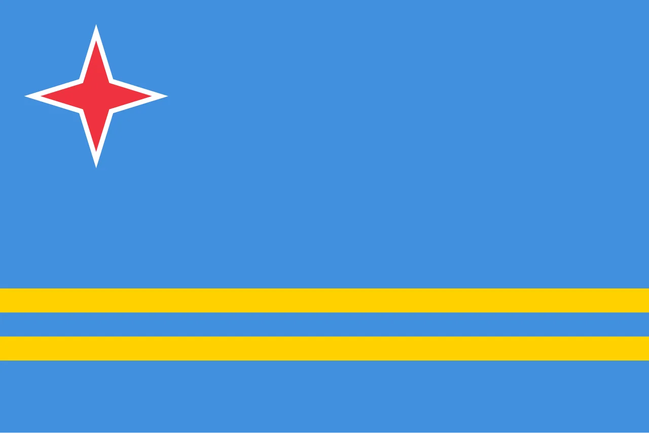
Flag of Aruba
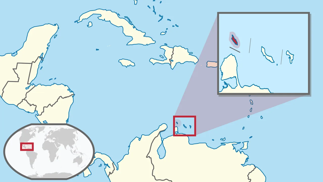
Location of Aruba
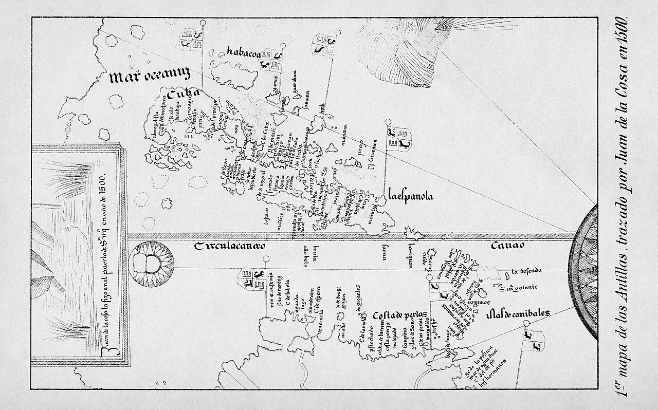
Map of the Antilles, from a portion of the map of Juan de la Cosa (1500)
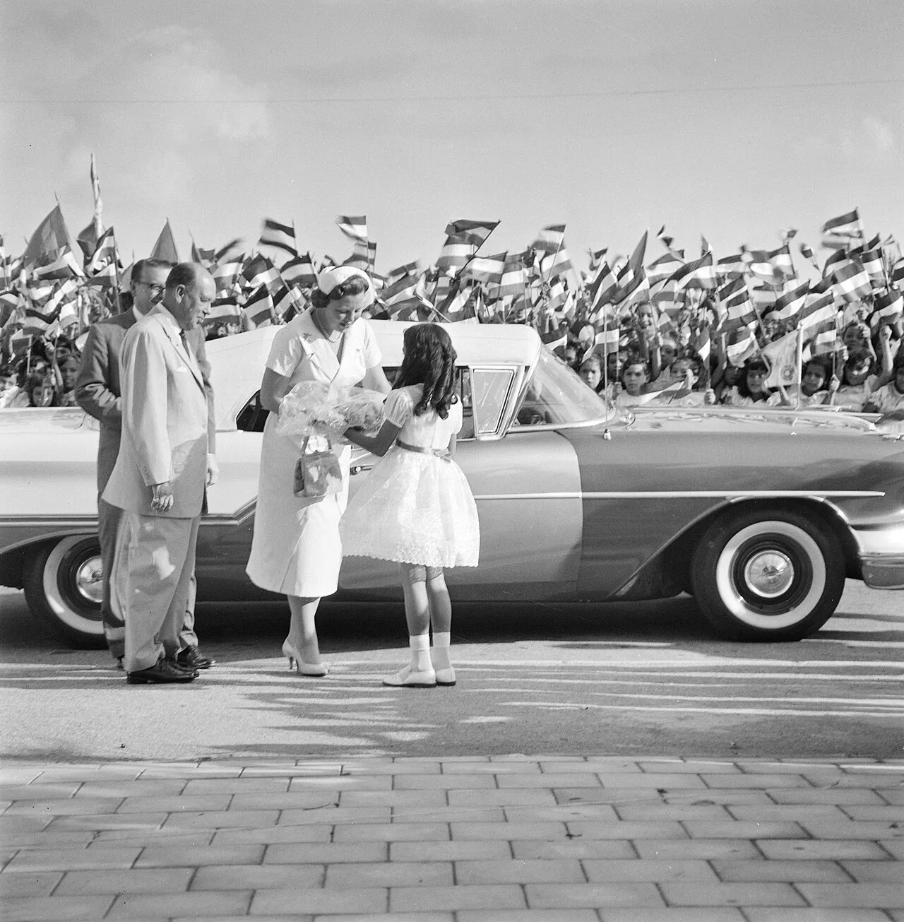
Princess Beatrix in Aruba, 1958
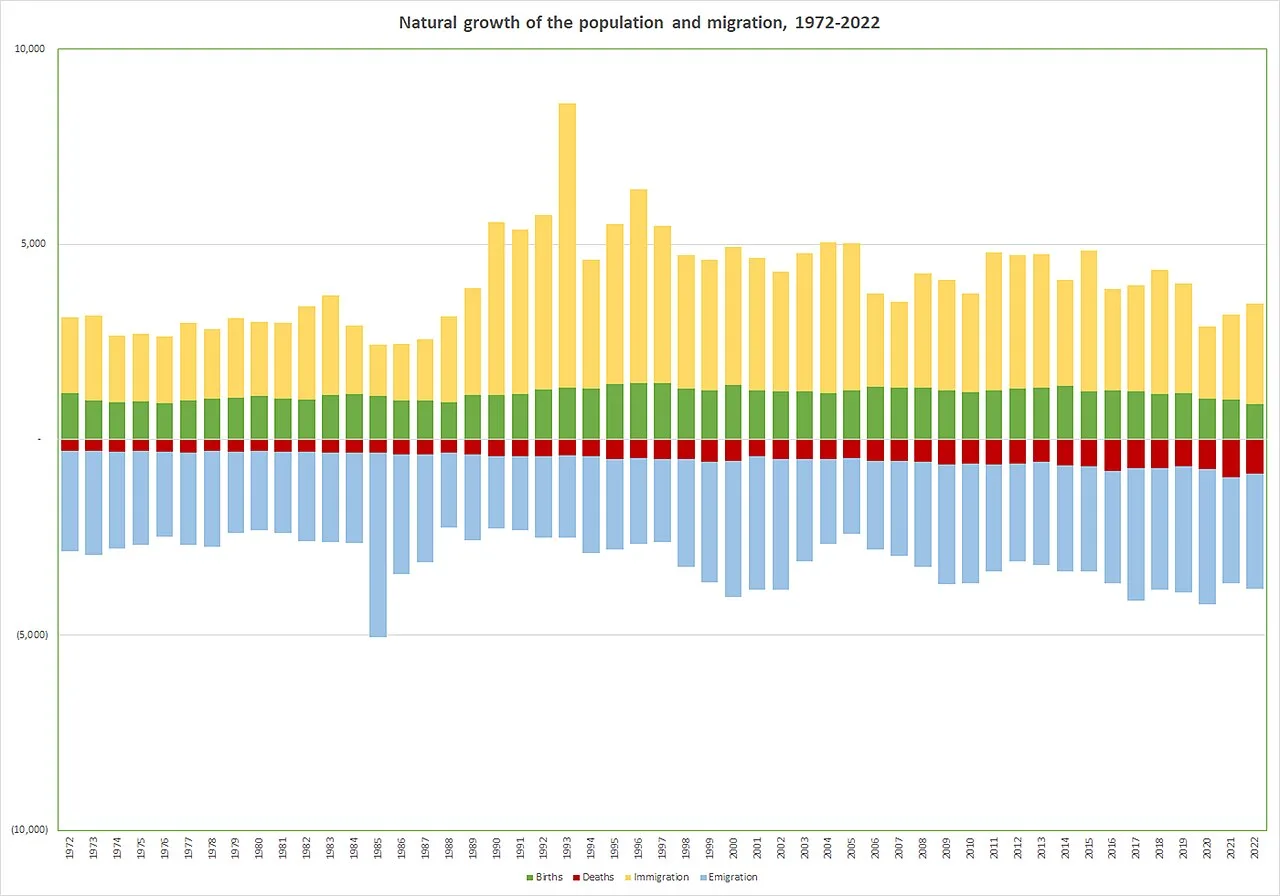
In Aruba, population development is primarily influenced by net migration due to the relatively low number of births and deaths (1972–2022). Source: Central Bureau of Statistics, and Civil Registry and Population Office.[4]
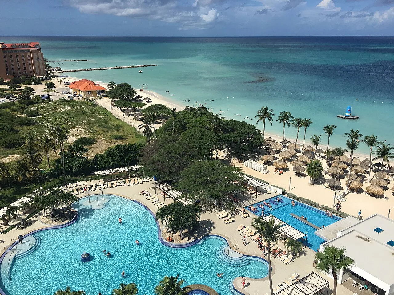
A tourist resort on the island
Aruba
Aruba is a constituent island country within the Kingdom of the Netherlands, located in the southern Caribbean Sea.
Gold Rumors and the "Useless Islands"
Popular folklore often claims that Aruba takes its name from the Spanish phrase "Oro hubo," supposedly referring to historic mineral wealth. In reality, Spanish colonizers declared the territory among the "islas inútiles," or useless islands, due to their apparent lack of mineral riches. The modern name instead derives from indigenous roots such as the Caquetío word Oruba. Gold remained undetected until the nineteenth century, completely debunking the early Spanish dismissal.
From Wikipedia · CC BY-SA 4.0
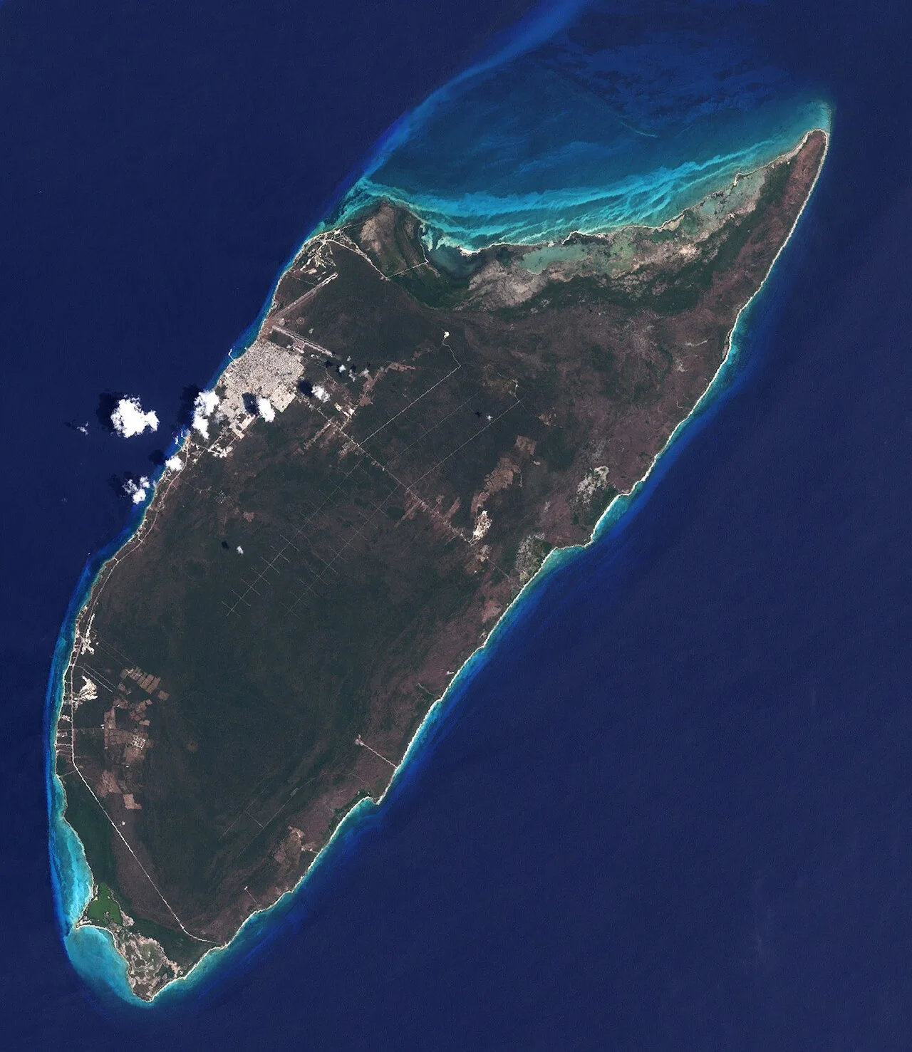
Isla cozumel April17-2001-crop
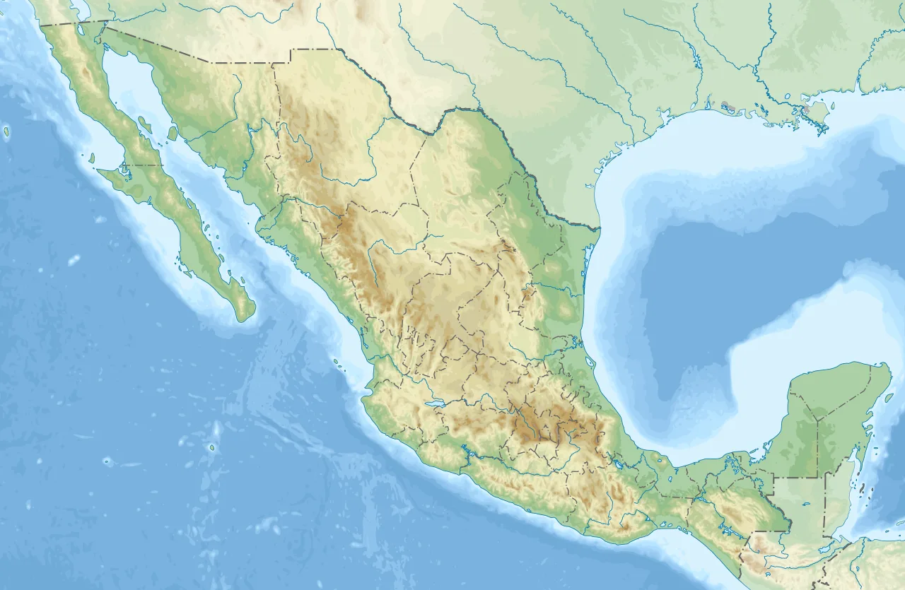
Cozumel is located in Mexico
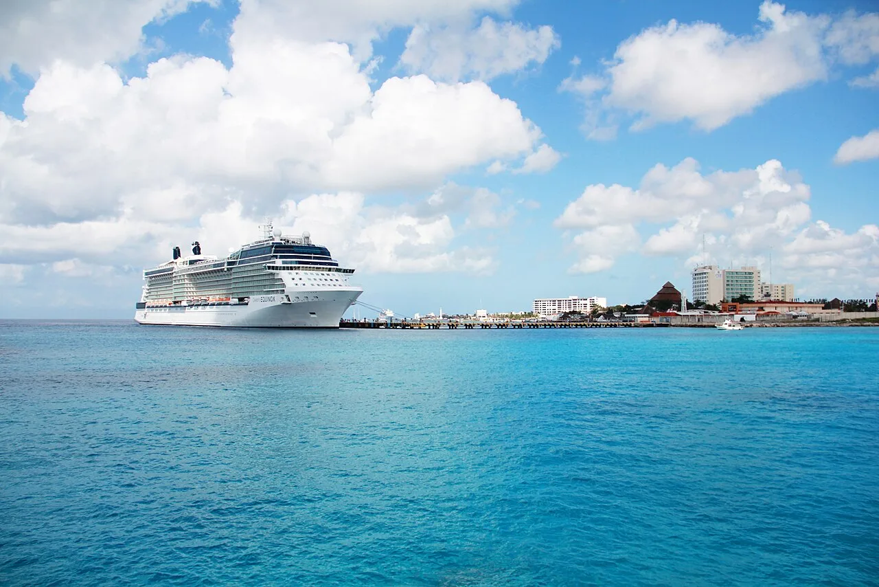
Cruise port in San Miguel de Cozumel; the ship pictured is the Celebrity Equinox.
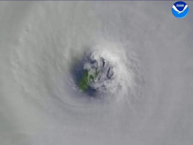
Cozumel seen through the eye of Hurricane Wilma
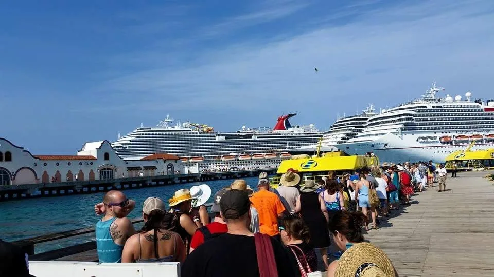
Multiple cruise ships docked in Cozumel. From left to right: Carnival Breeze, unnamed Holland America ship, and Carnival Freedom.

The parade during Cozumel Carnival 2024
Cozumel
Cozumel is an island and municipality in the Caribbean Sea off the eastern coast of Mexico's Yucatán Peninsula.
A Maritime Pilgrimage Destination for Lunar Worship
Long before modern cruise ships arrived, Cozumel was a bustling hub of ancient maritime commerce and spiritual devotion. From around 1250 CE, the island flourished as an important port and pilgrimage centre. Merchants and pilgrims travelled across maritime trade routes to reach the island and worship Ixchel, a Maya goddess associated with the moon, childbirth and weaving.
From Wikipedia · CC BY-SA 4.0
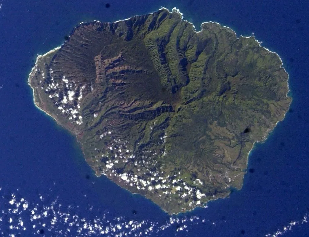
Kauai from space 2
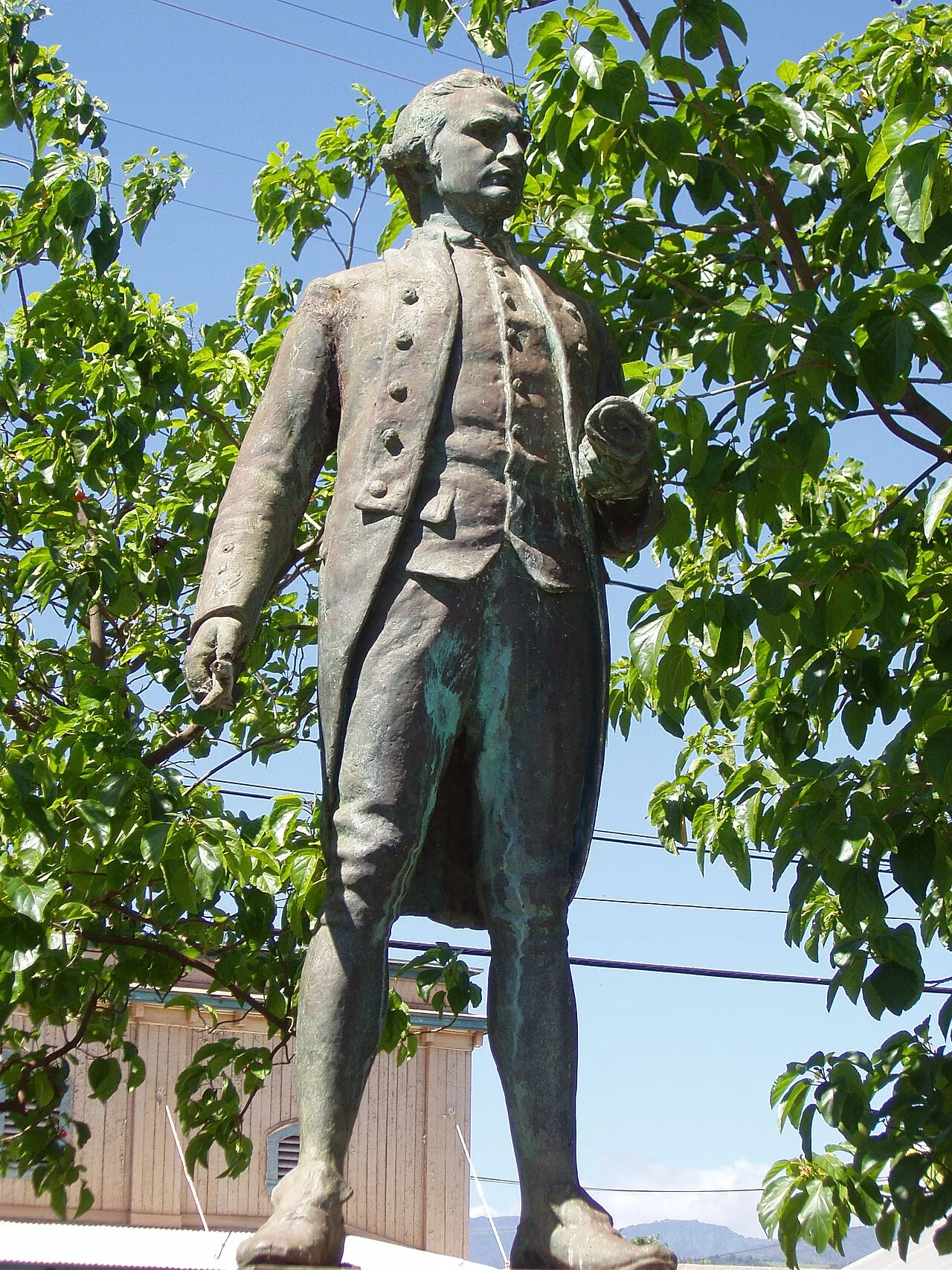
A statue of Captain James Cook commemorating his landing at Waimea, Kauaʻi, January 20, 1778
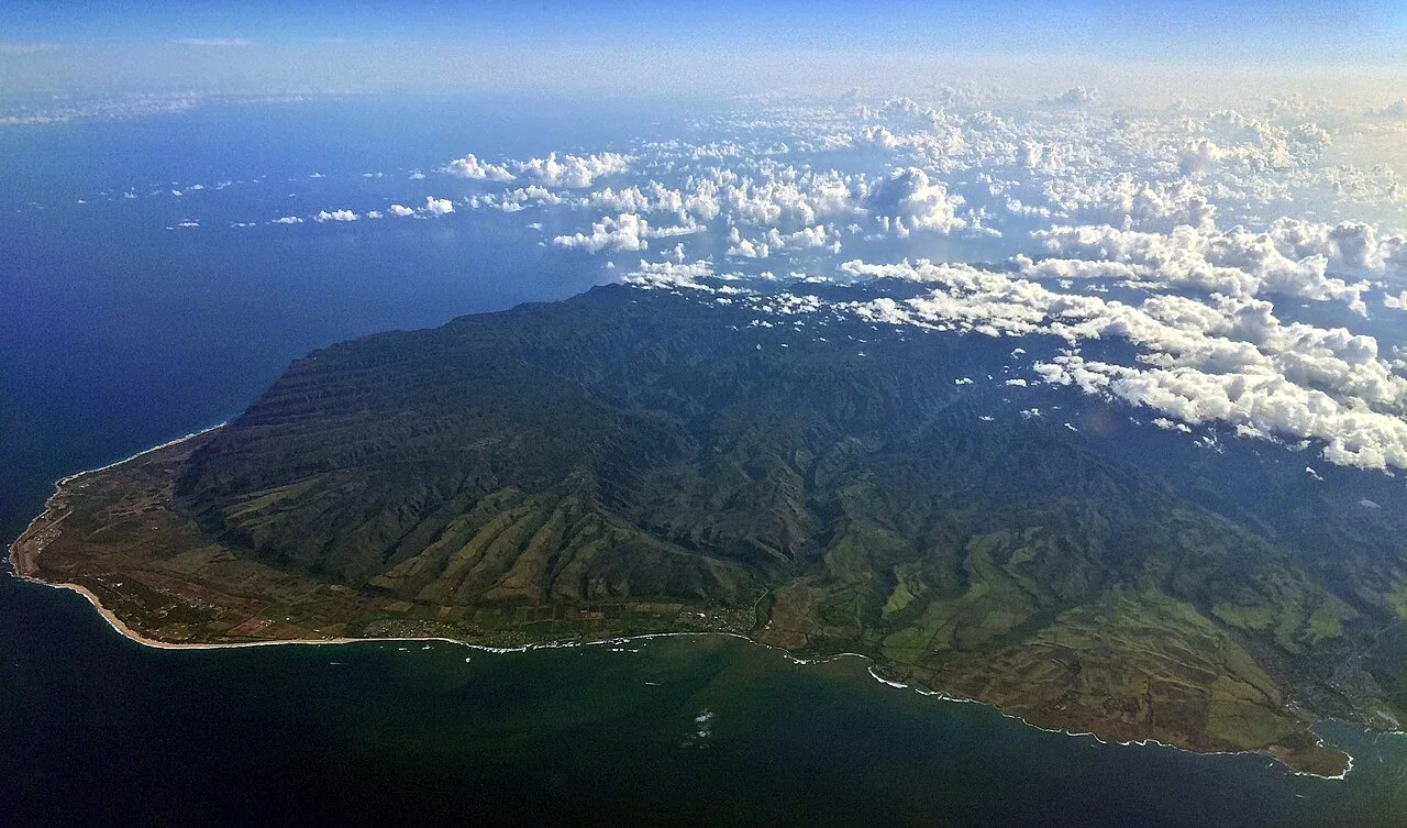
Aerial view of Kauaʻi
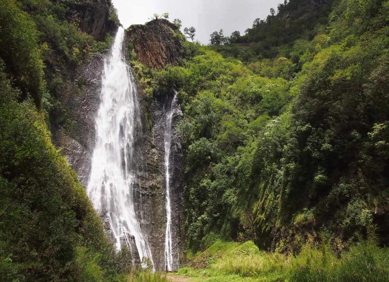
Mānāwaiopuna Falls
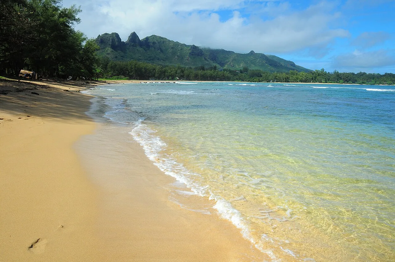
Anahola Bay is a snorkeling and swimming beach with clear pools and a long coral reef.
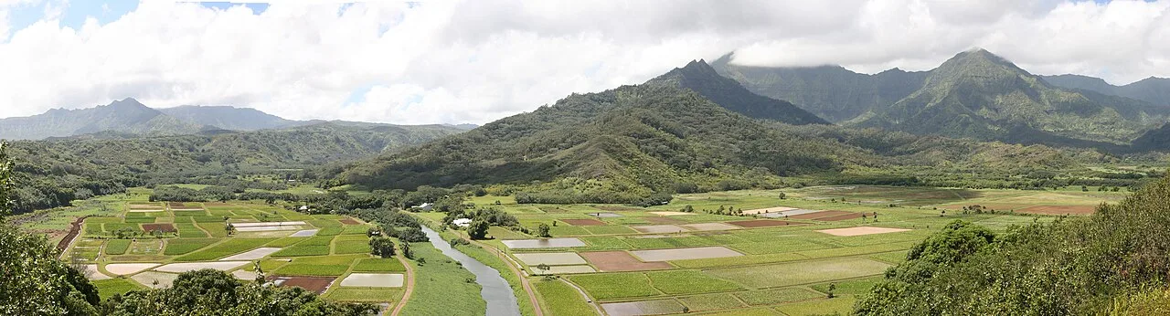
A view of the Hanalei Valley in Northern Kauaʻi. The Hanalei River runs through the valley and 60% of Hawaiʻi's taro is grown in its fields.
Kauai
Kauaʻi is the fourth-largest of the main Hawaiian Islands, located northwest of Oʻahu and known as the Garden Isle.
The Vanished Consonant of Tauaʻi
Standard Hawaiian replaces the older Polynesian /t/ sound with [k], but Kauaʻi long preserved the original consonant. Because of this phonetic divergence, islanders historically referred to Kauaʻi as "Tauaʻi" and pronounced the town of Kapaʻa as "Tapaʻa". While the dominant dialect based on Hawaiʻi island lacks the [t] sound, this distinctive linguistic heritage survived across the water on Niʻihau.
From Wikipedia · CC BY-SA 4.0