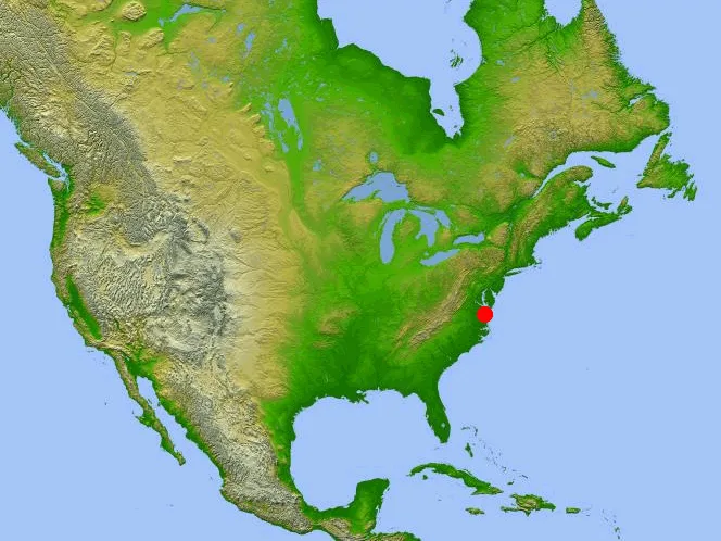
Chesapeake Crater location
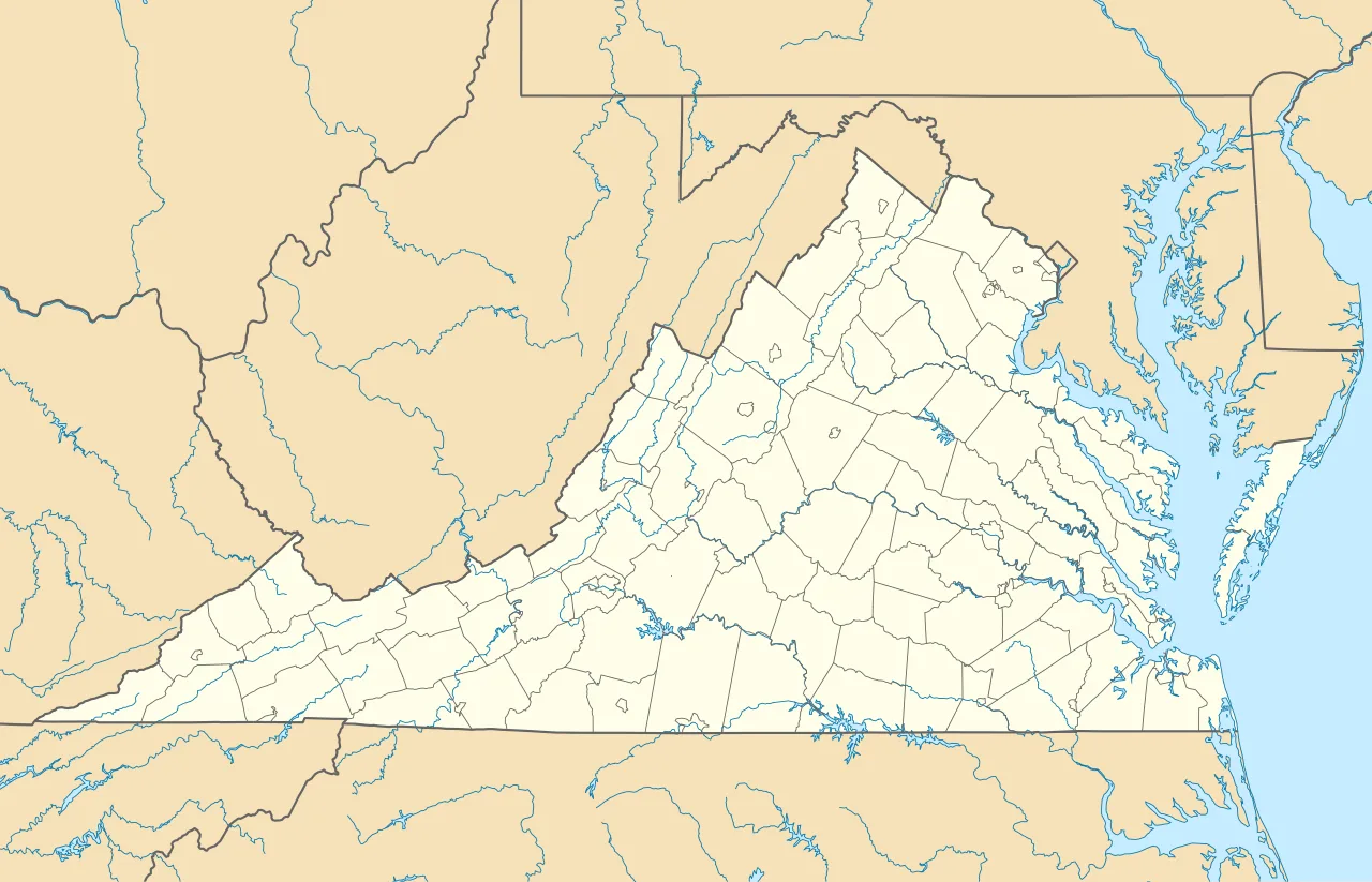
Chesapeake Bay impact crater is located in Virginia
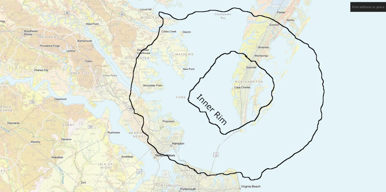
Boundaries of the impact crater
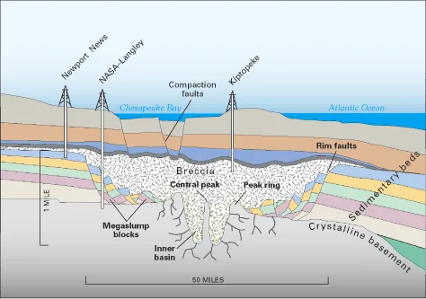
Profile view of the crater
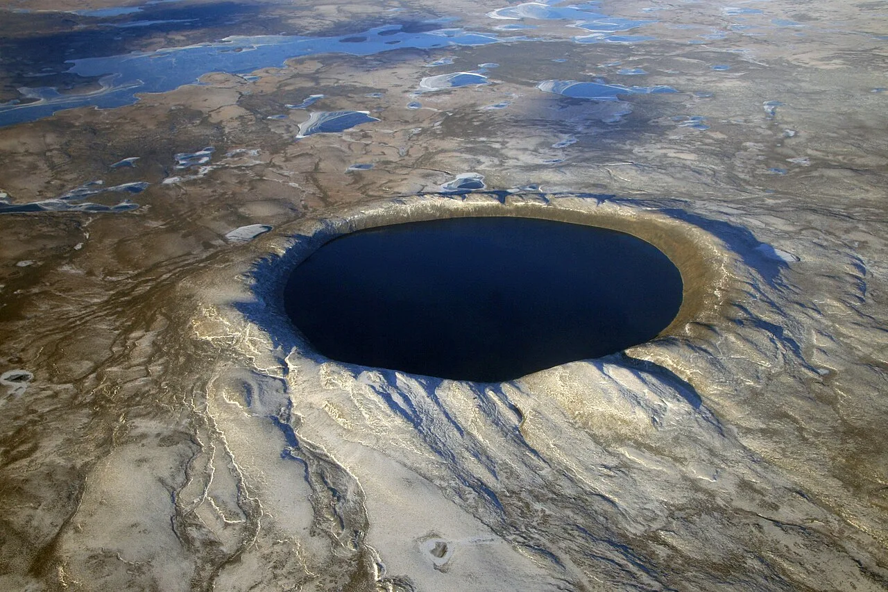
Pingualuit aerial 2007
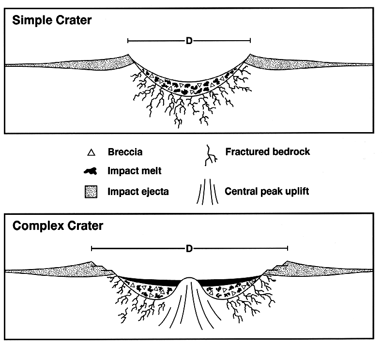
Craterstructure
Chesapeake Bay impact crater
The Chesapeake Bay impact crater is a buried impact crater located beneath the mouth of the Chesapeake Bay in the United States, formed about 35.5 million years ago.
Instantaneous Kilometers of Geological Debris
Geological formations typically accumulate across millions of years through gradual sedimentation. However, the cataclysmic impact during the late Eocene compressed massive structural changes into a fleeting window. The entire event from initial impact to the termination of debris deposition lasted only a few hours or days. In the perspective of geological time, the resulting 1.2 km (0.75 mi) thick breccia stands as an instantaneous deposit.
From Wikipedia · CC BY-SA 4.0
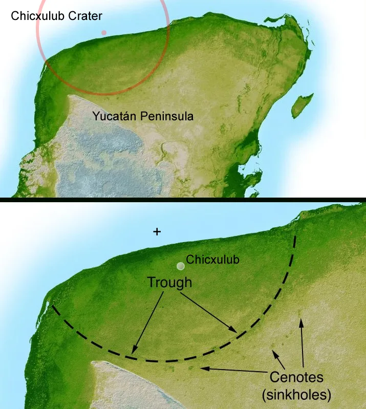
Yucatan chix crater
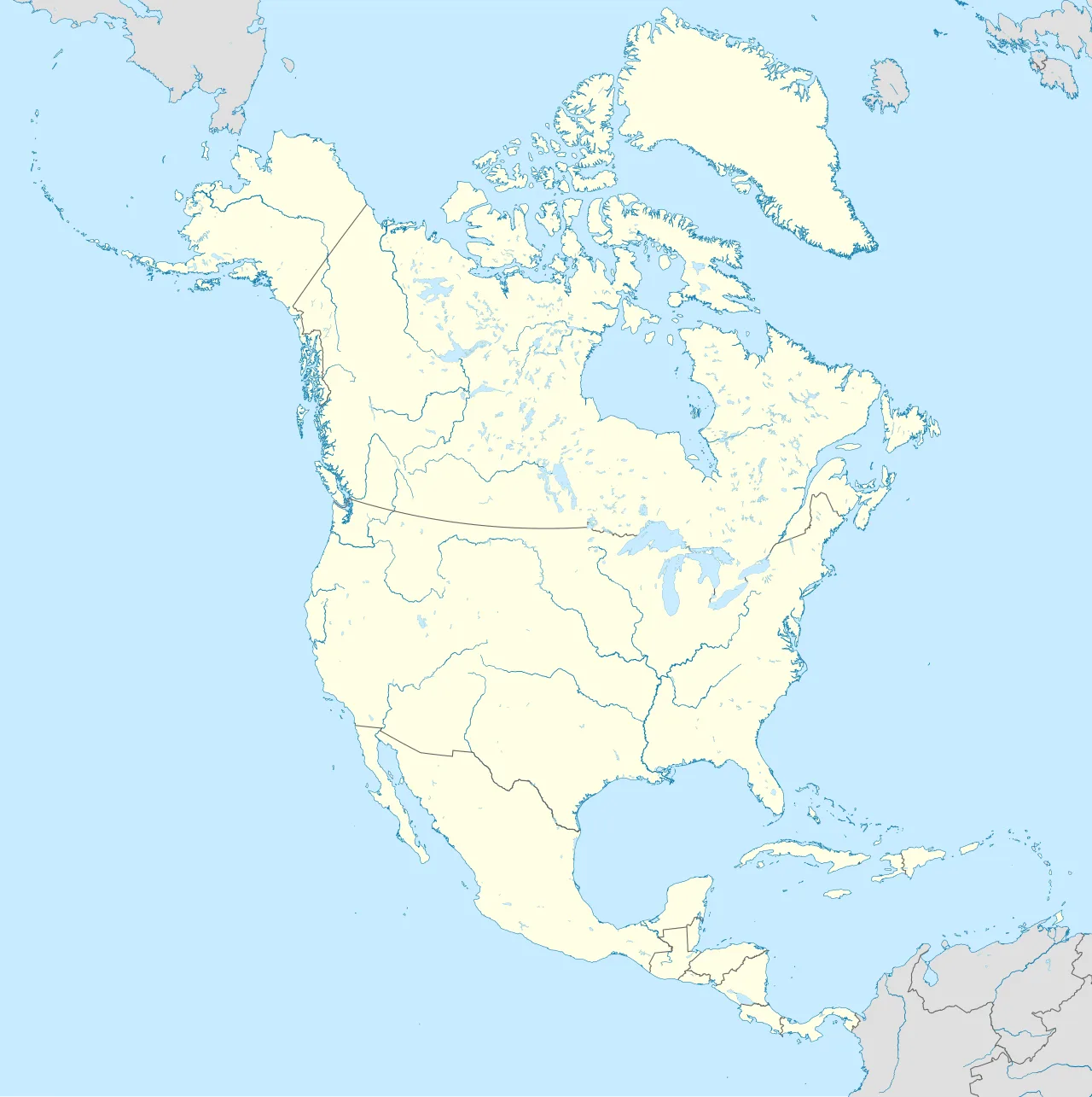
Chicxulub crater is located in North America
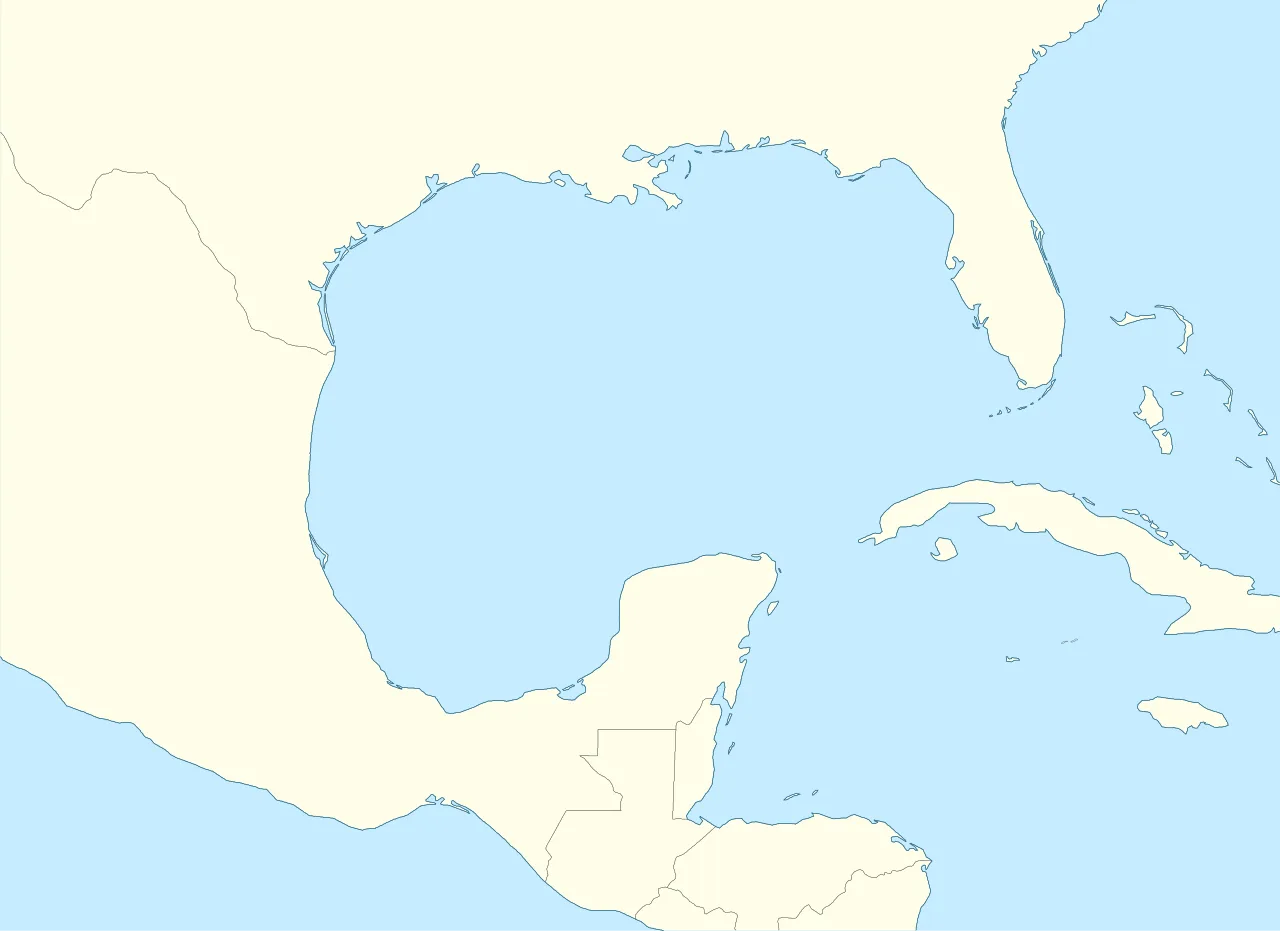
Chicxulub crater is located in Gulf of Mexico
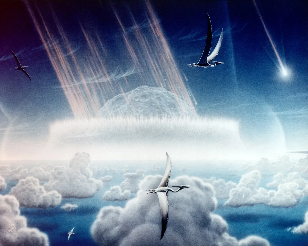
Artist's impression of the asteroid slamming into tropical, shallow seas of the sulfur-rich Yucatán Peninsula in what is today Southeast Mexico.[16] The aftermath of the asteroid collision, which occurred approximately 66 million years ago, is believed to have caused the mass extinction of non-avian dinosaurs and many other species on Earth.[16] The impact spewed hundreds of billions of tons of sulfur into the atmosphere, producing a worldwide blackout and freezing temperatures which persisted for at least a decade.[16]
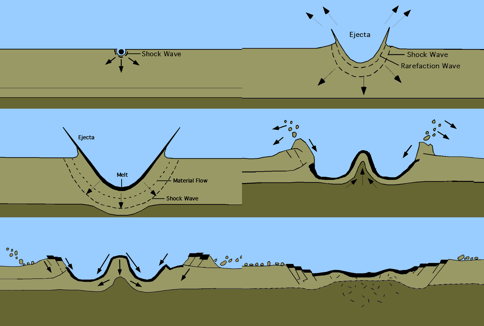
An animation showing the Chicxulub impact and subsequent crater formation
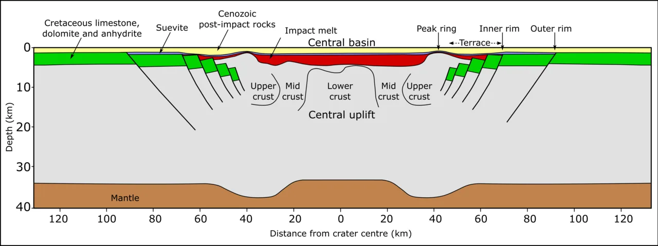
Schematic cross-section of the Chicxulub impact structure
Chicxulub crater
The Chicxulub crater is an impact crater buried underneath the Yucatán Peninsula in Mexico, formed over 66 million years ago when an asteroid struck Earth.
Hunting for Oil, Striking Space
The search for fossil fuels unexpectedly led to the discovery of Earth's most famous impact structure. In 1978, geophysicists Glen Penfield and Antonio Camargo surveyed the Gulf of Mexico for Petróleos Mexicanos. While analyzing data, they mapped a distinct 180 km bullseye anomaly, realizing it marked a massive impact crater rather than oil deposits. Corporate policies and scientific indifference delayed the recognition of their monumental discovery for over a decade.
From Wikipedia · CC BY-SA 4.0
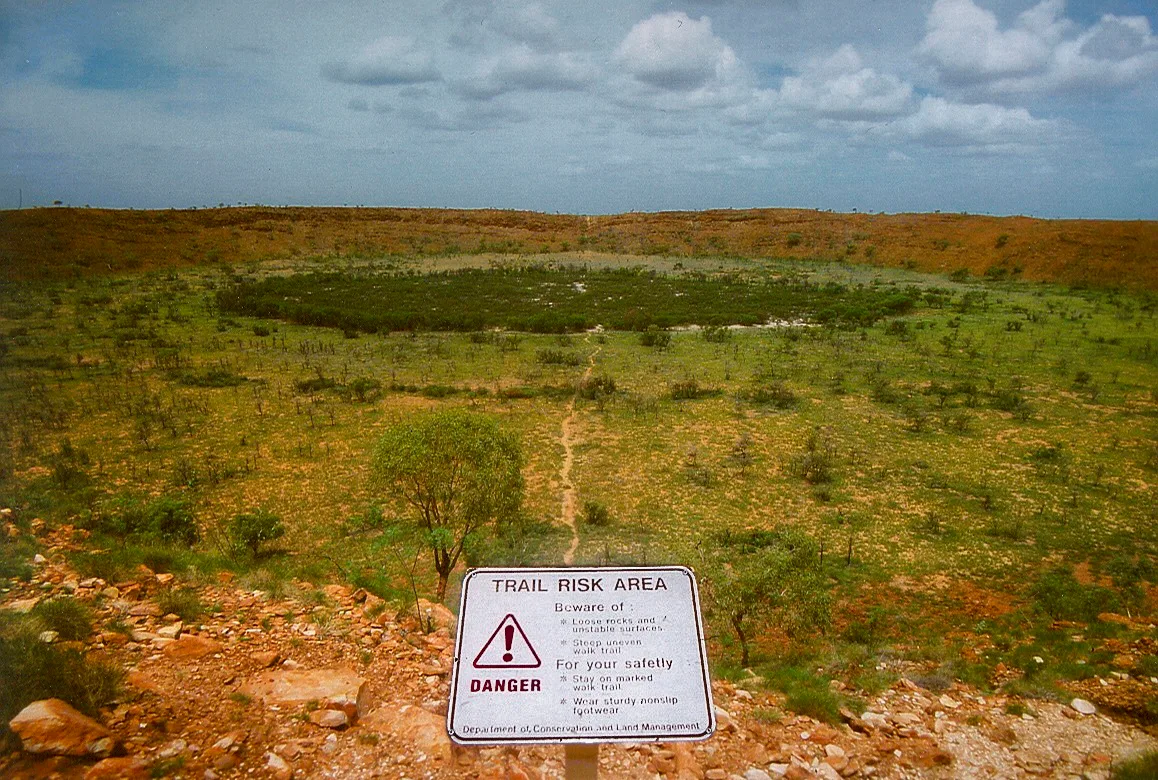
Wolfe creek crater
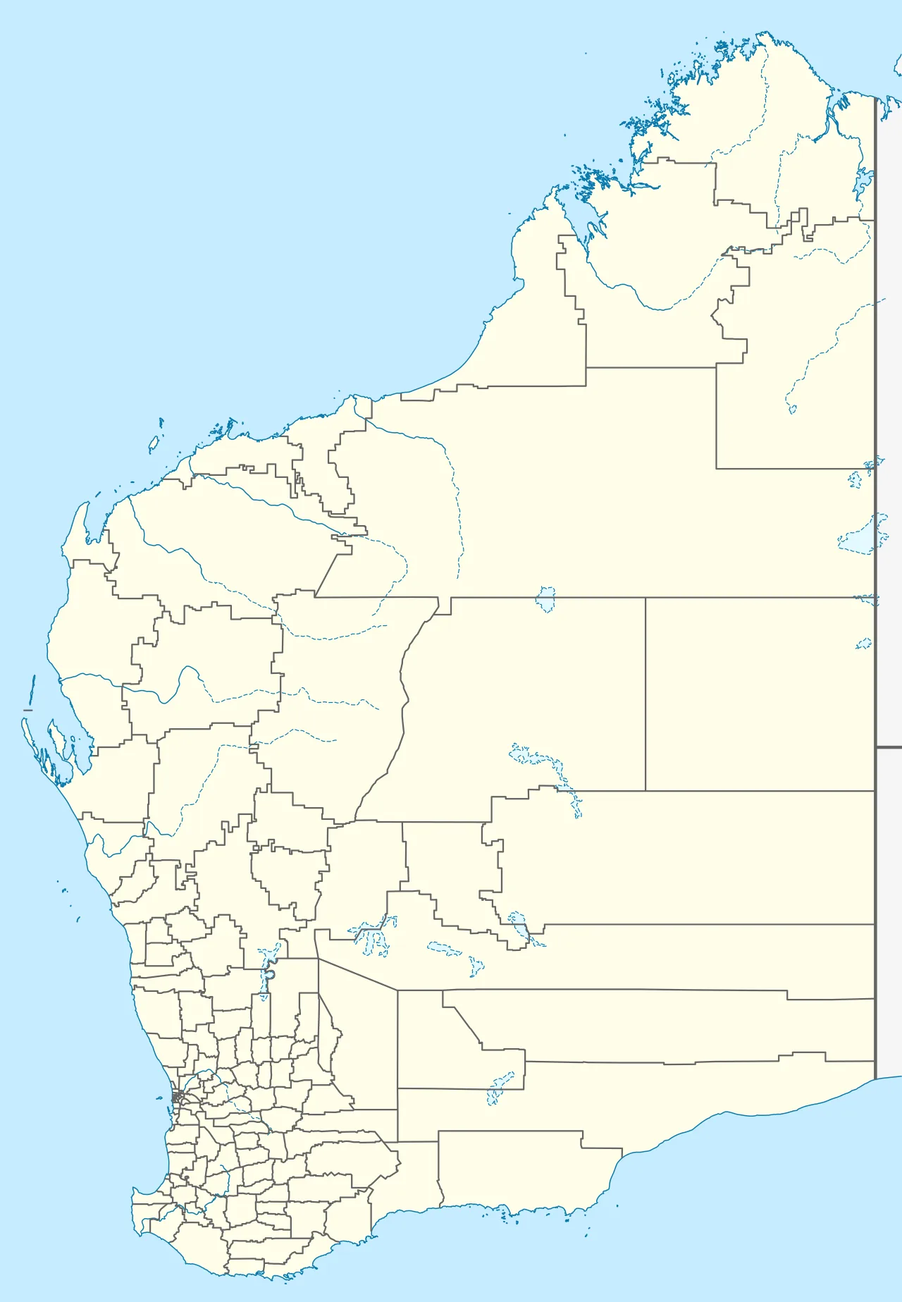
Wolfe Creek Crater is located in Western Australia
Wolfe Creek Crater. Sentinel-2 image.
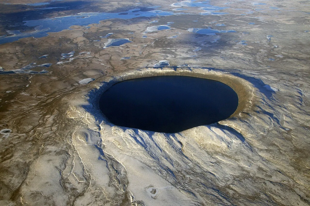
Pingualuit aerial 2007
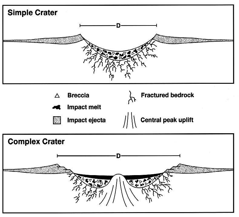
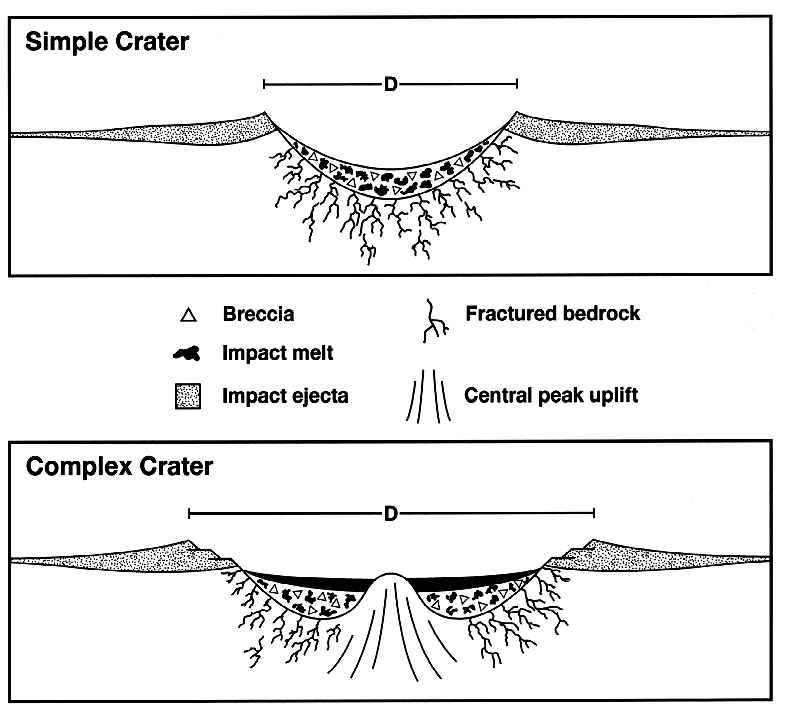
Craterstructure
Wolfe Creek Crater
Wolfe Creek Crater is a well-preserved meteorite impact crater in Western Australia.
A Youthful Identity Revealed in 2019
For decades, geologists believed the massive scar in Western Australia was an ancient landmark created around 300,000 years ago. However, investigations in 2019 by researchers from Portsmouth University together with Australian and US researchers dramatically altered this timeline. Their updated analysis revealed the impact site is actually less than 120,000 years old. This significant age revision places the catastrophic impact event much closer to modern human history during the Late Pleistocene.
From Wikipedia · CC BY-SA 4.0
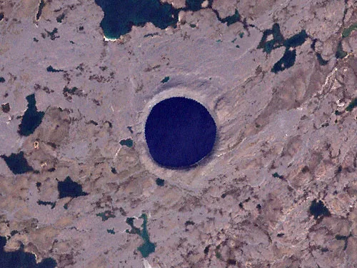
Image of Pingualuit Crater from Landsat 7 satellite image
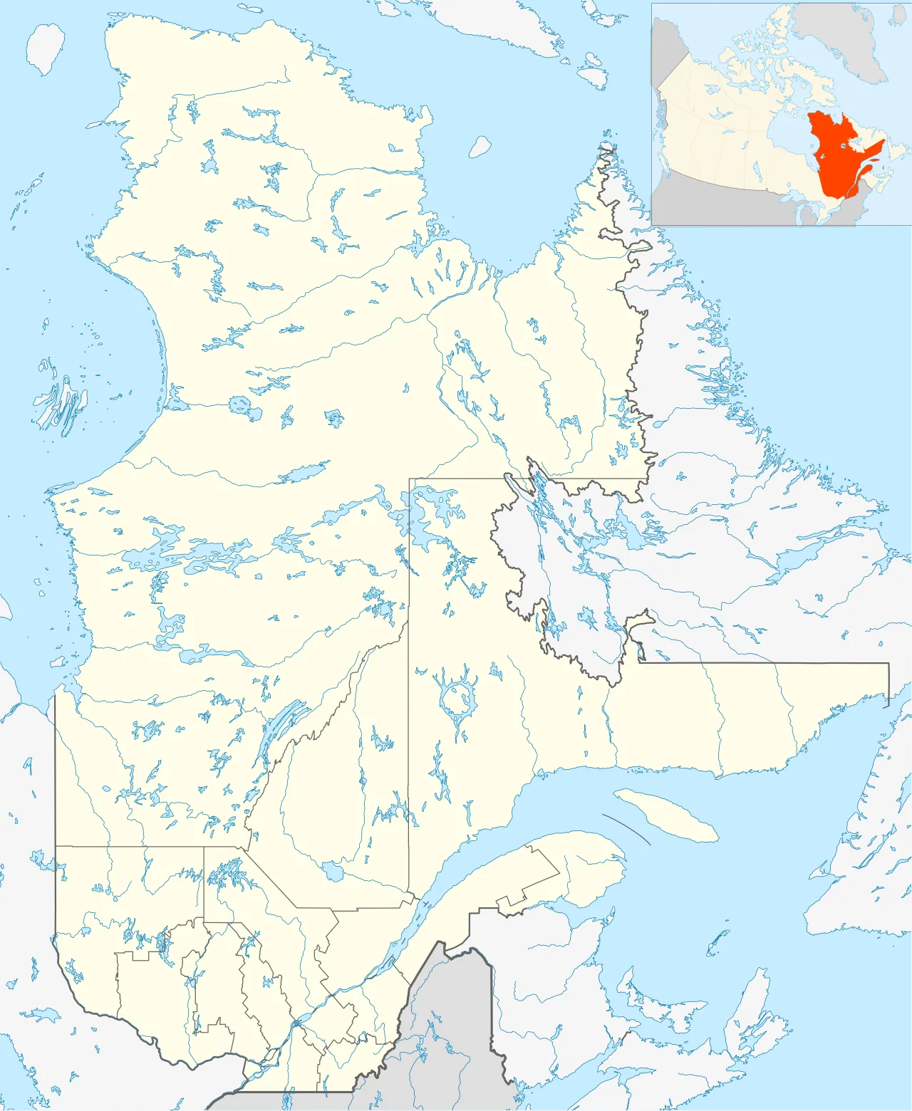
Pingualuit crater is located in Quebec
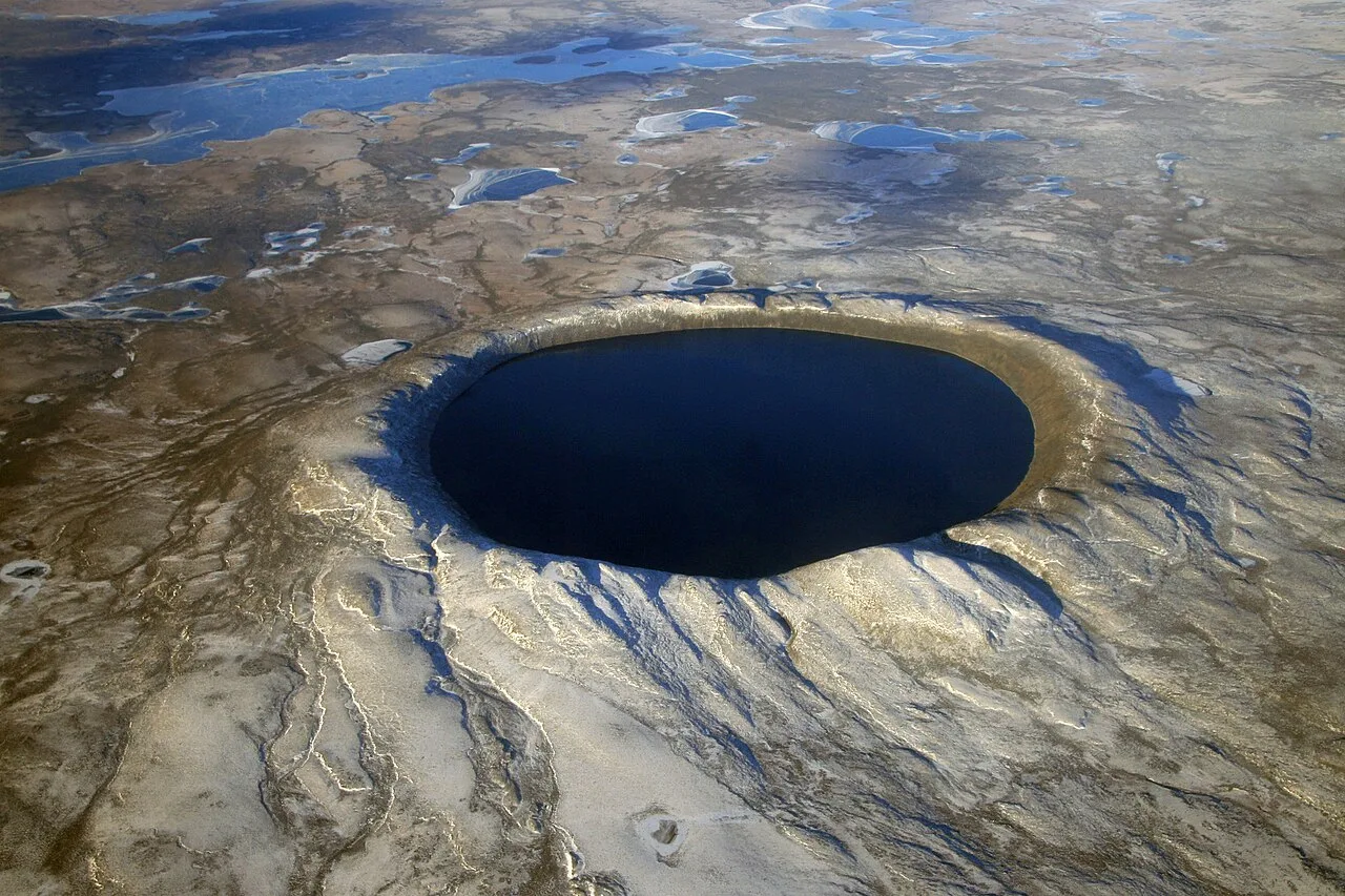
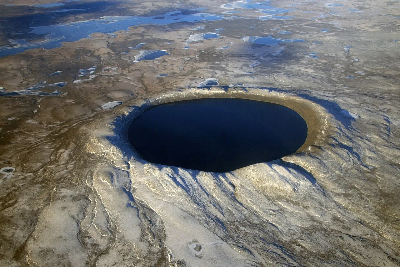
Pingualuit Crater, October 2007
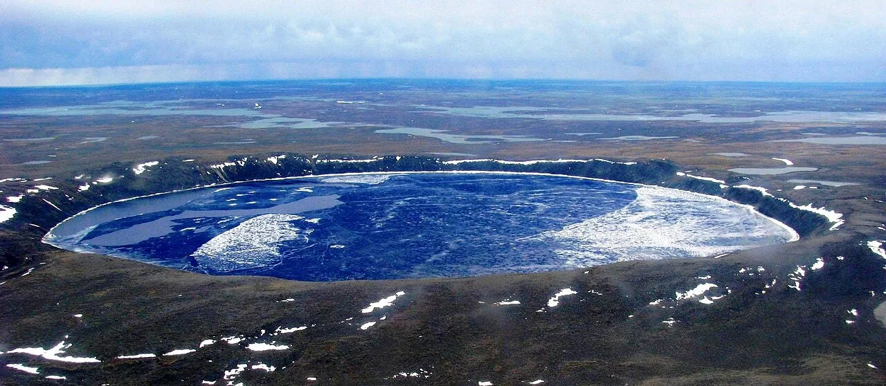
Pano Pingualuit Crater LK
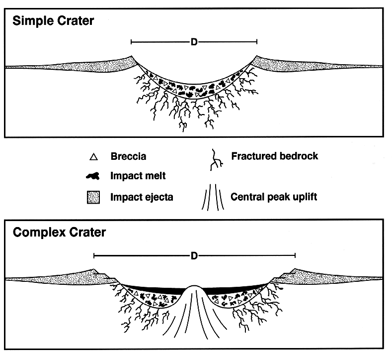
Craterstructure
Pingualuit crater
The Pingualuit Crater is a relatively young impact crater located on the Ungava Peninsula in Quebec, Canada, and is now part of Pingualuit National Park.
Guiding Airmen Across the Tundra
Long before modern geologists surveyed the region, local Inuit knew the lake-filled crater as the "Crystal Eye of Nunavik" due to its clear water. During World War II, military pilots often used this almost perfectly circular landmark as a navigational aid. What appeared from the air as a convenient orientation marker was actually an ancient meteorite rim rising far above the surrounding tundra.
From Wikipedia · CC BY-SA 4.0
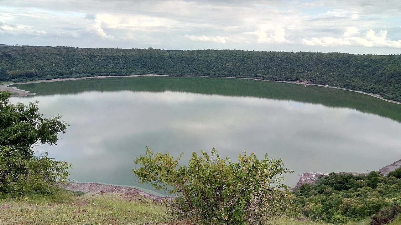
View of Lonar crater from the rim
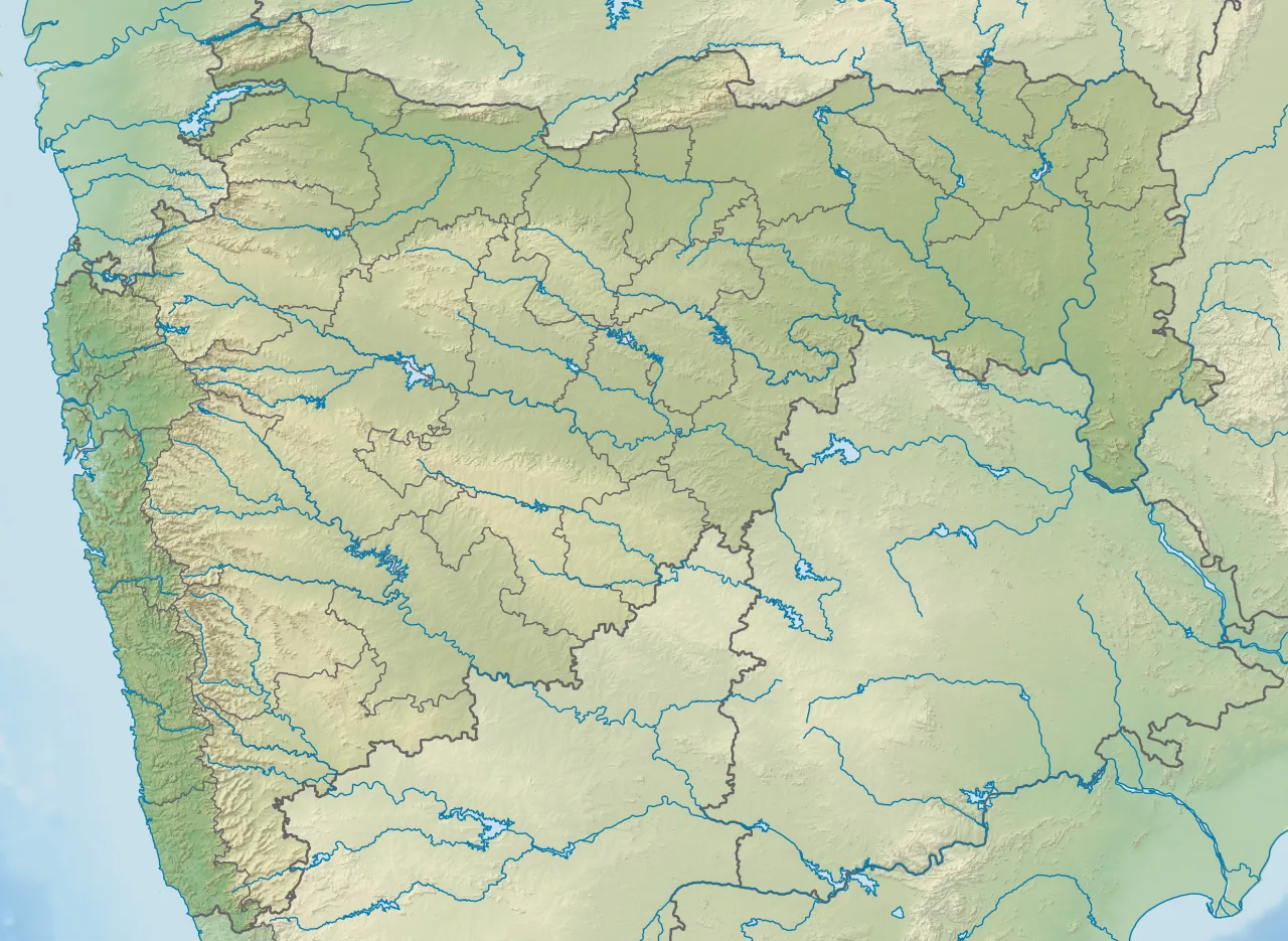
Location of Lonar lake within Maharashtra, India
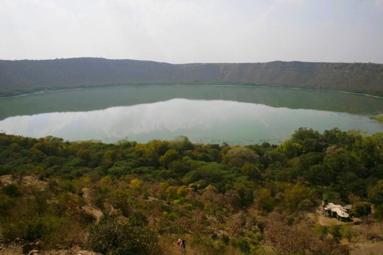
View of the crater from the edge. A temple is visible in the forest underneath.
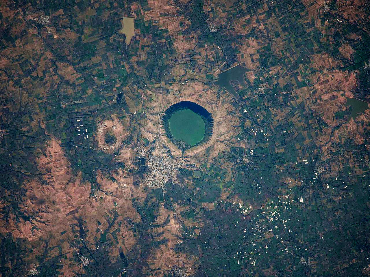
View of the crater from space (image captured by NASA satellite).
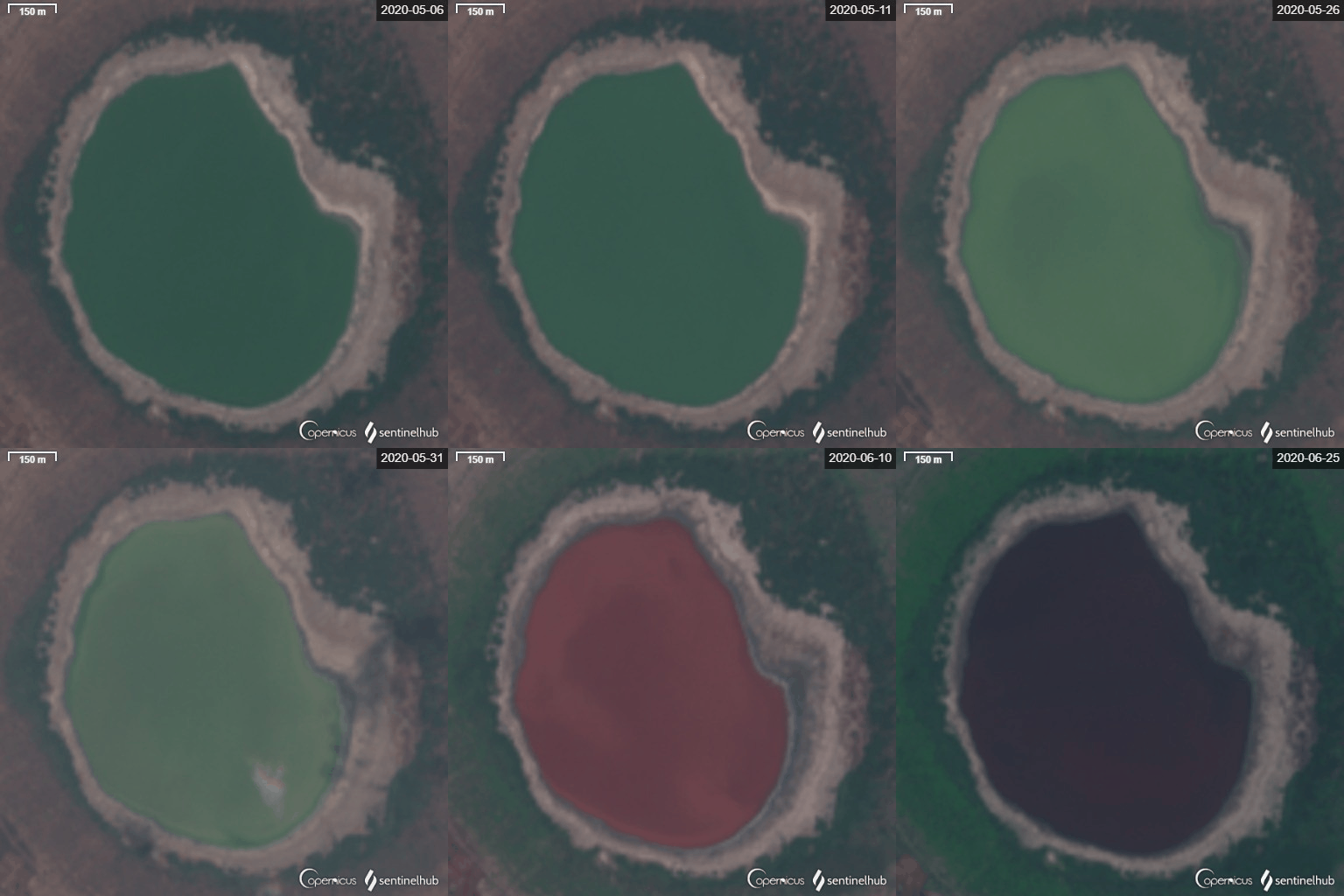
Water of Lake Lonar changing colour from green to red during June 2020.
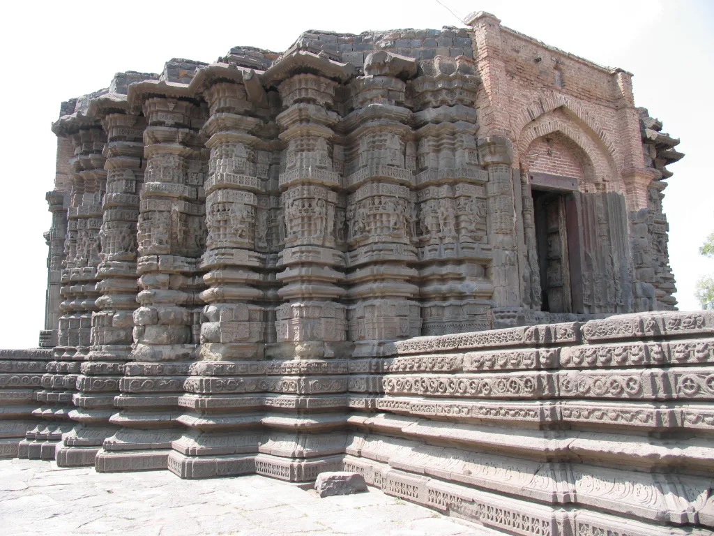
Side profile of the Daitya Sudan Temple.
Lonar lake
Lonar Lake is a saline, soda crater lake of meteoritic origin located in Maharashtra, India, designated as a National Geological Monument.
Maskelynite Minerals in Volcanic Basalt
Its location on the Deccan Plateau initially led scientists to assume a volcanic origin, but the crater was forged by a meteoritic impact. Researchers confirmed this origin through plagioclase converted into maskelynite, a glass produced only by hypervelocity shock metamorphism. The site remains one of only four known hypervelocity impact craters in basaltic rock anywhere on Earth.
From Wikipedia · CC BY-SA 4.0
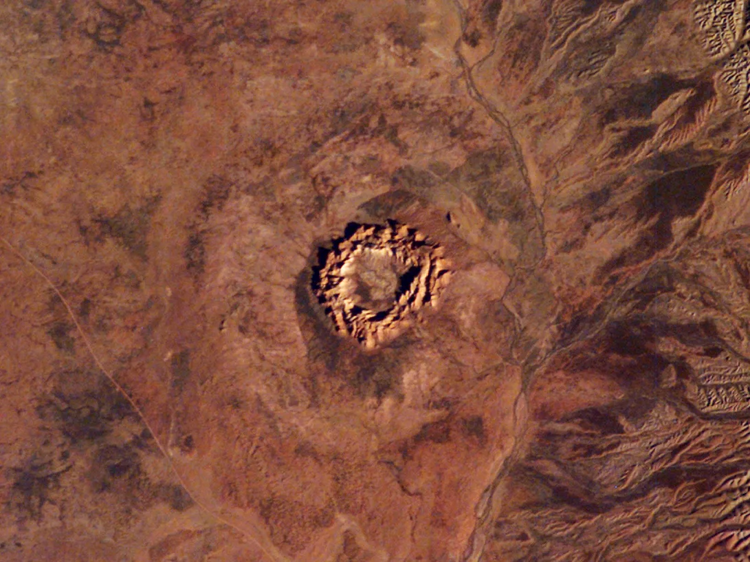
Gosses Bluff Northern Territory Australia
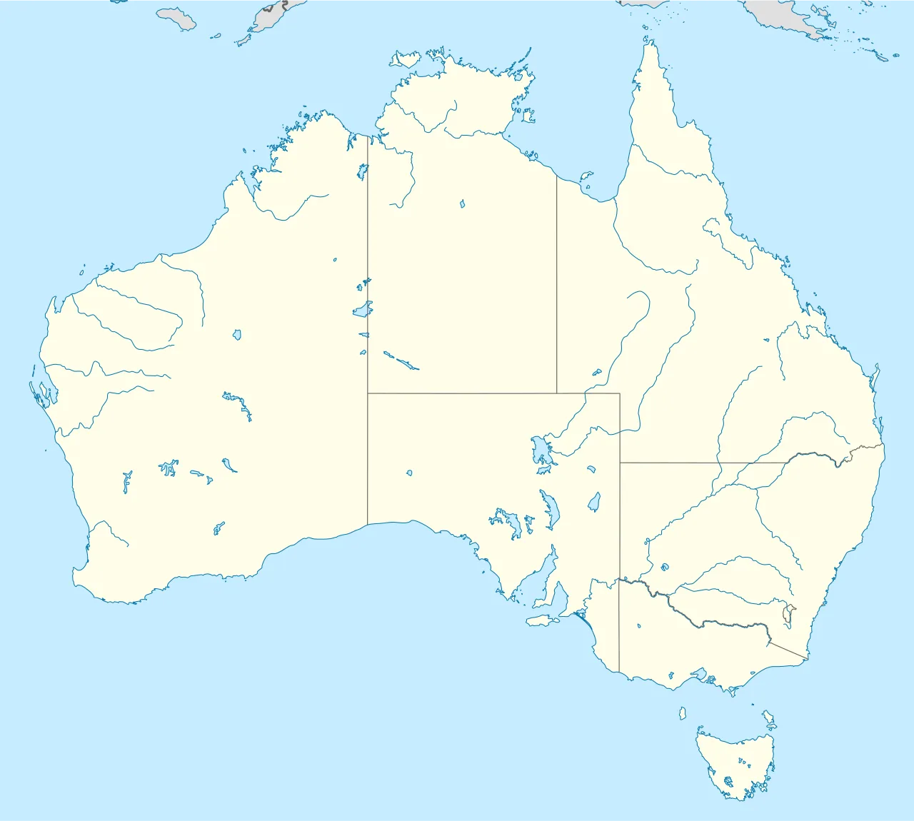
Gosses Bluff impact structure is located in Australia
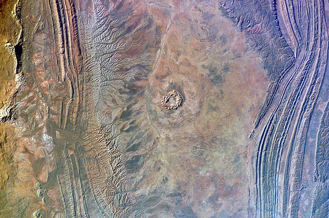
Gosses Bluff impact structure photographed from the ISS
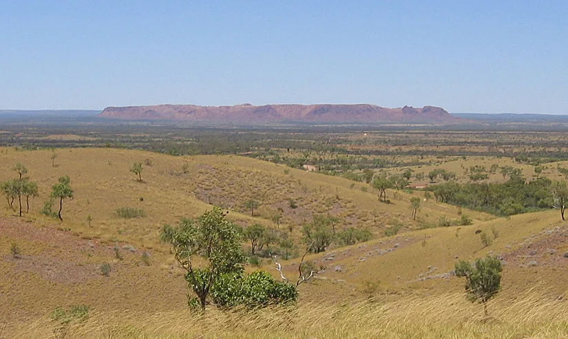
Gosses Bluff from the north, approximately 15 km (9.3 mi) away
Pingualuit aerial 2007
Craterstructure
Gosses Bluff crater
Gosses Bluff is the eroded remnant of an impact crater located in the southern Northern Territory of Australia.
A Brother's Nametag on Central Australia
Ernest Giles bestowed the official name Gosses Bluff in 1872 during his expedition through central Australia. Rather than naming the dramatic landmark after expedition leader William Gosse, Giles chose to honor William's brother Henry, who served as a dedicated team member on the journey. The ancient geological feature is situated in the southern Northern Territory, located approximately 175 km west of Alice Springs.
From Wikipedia · CC BY-SA 4.0
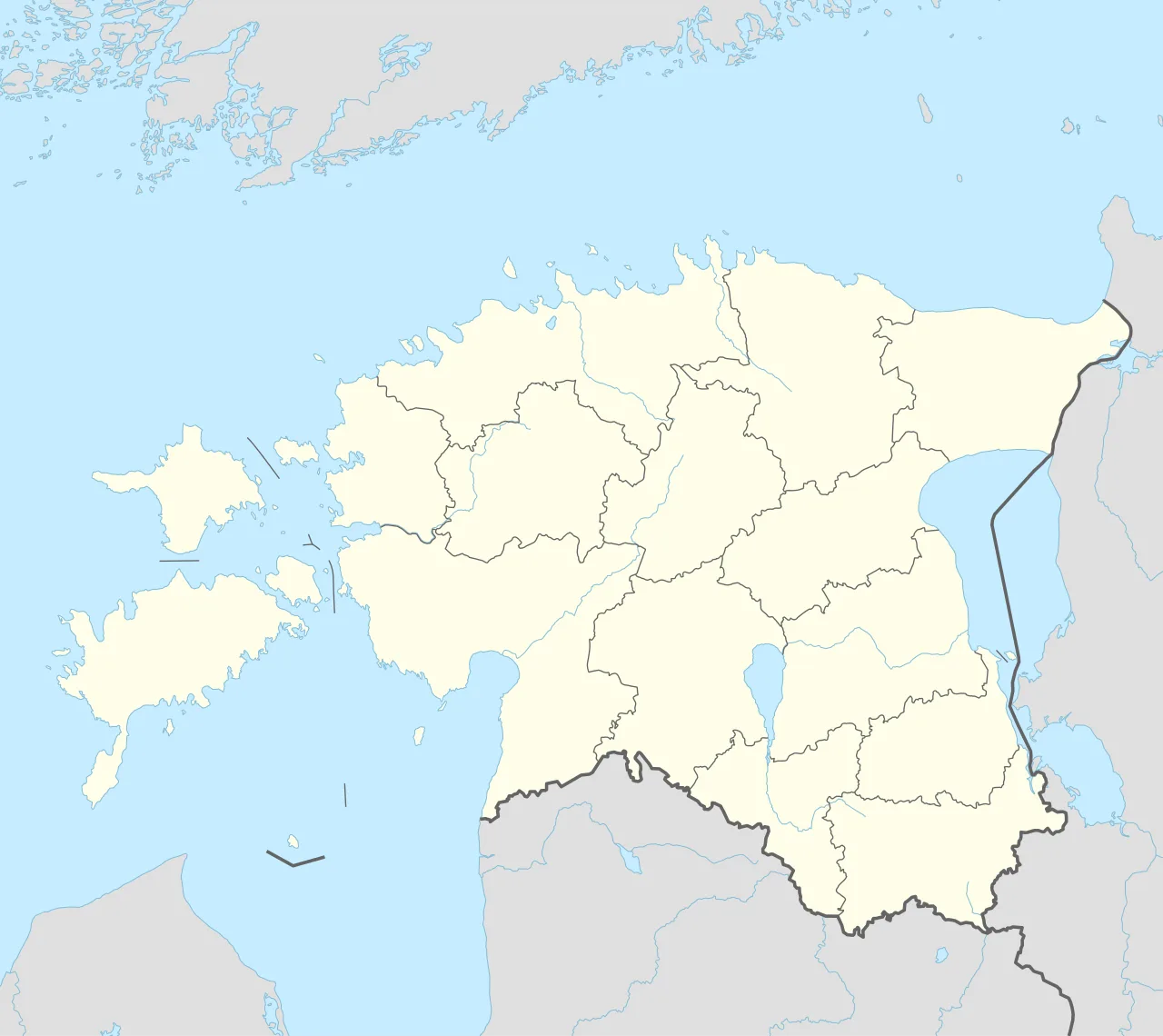
Kaali crater is located in Estonia
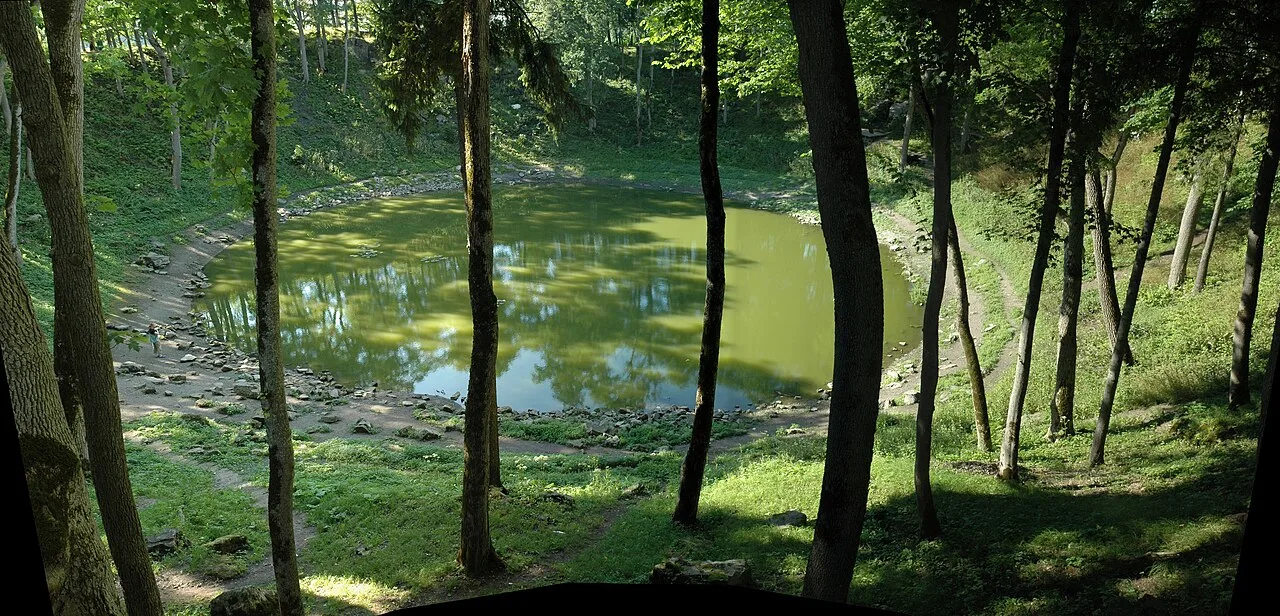
The crater as viewed from near the rim
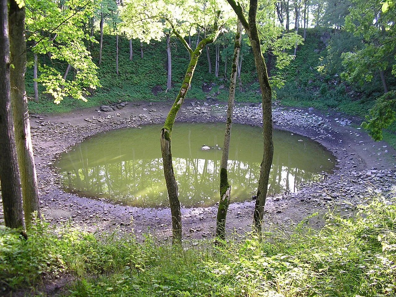
The main crater is nearly circular. When the water level is low, rocks can be seen penetrating the surface in the middle of the crater.
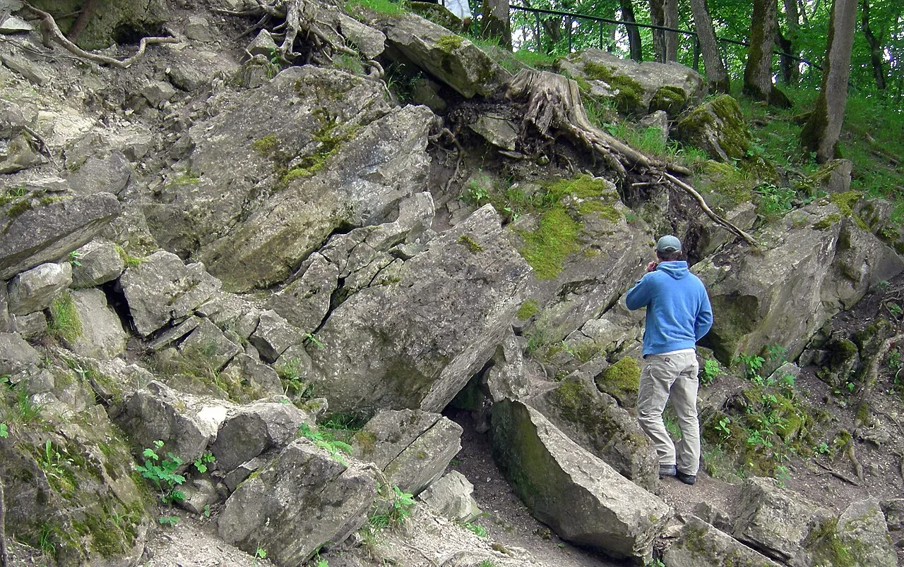
Tilted dolomite bedrock in the walls of the main crater
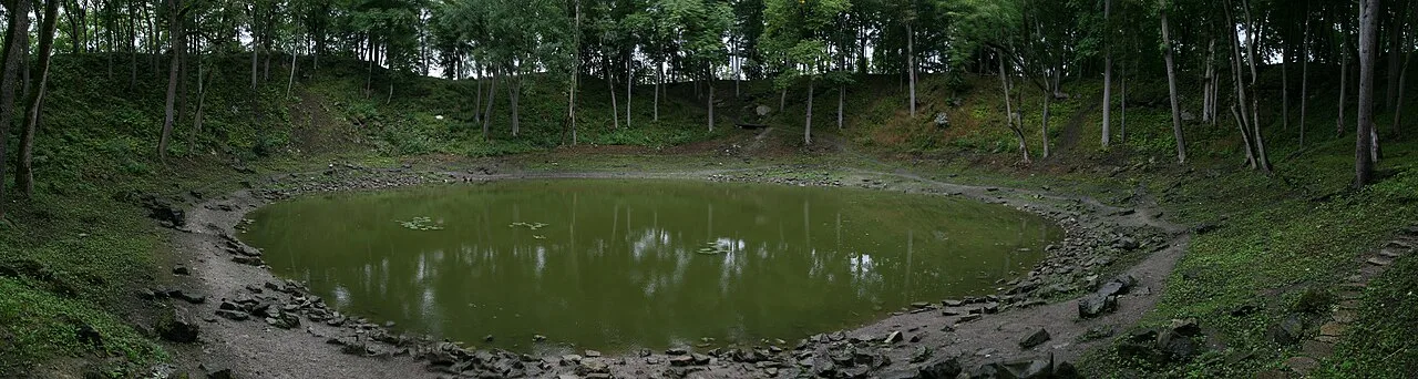
The main crater
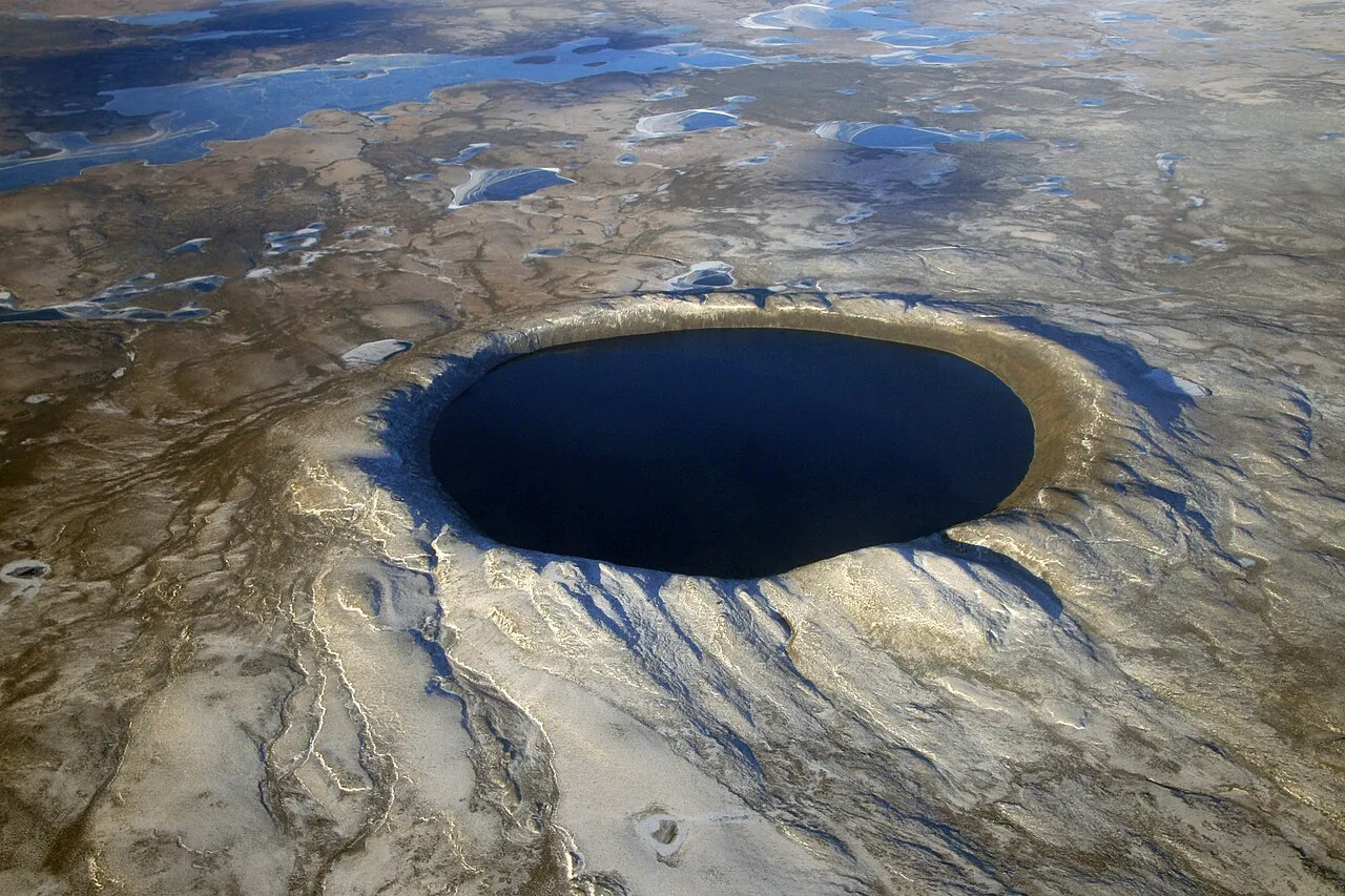
Pingualuit aerial 2007
Kaali crater
Kaali is a group of nine meteorite craters in the village of Kaali on the Estonian island of Saaremaa, created by an impact event in a populated area.
Hiroshima-Scale Energy in Ancient Estonia
The meteor collision released immense kinetic power upon striking a populated zone. The impact energy of about 80 TJ was comparable with that of the Hiroshima bomb blast. Thermal radiation incinerated vegetation up to 6 km from the site, creating an instant localized catastrophe. Ancient inhabitants likely interpreted this sudden atmospheric disaster as the death of the sun.
From Wikipedia · CC BY-SA 4.0
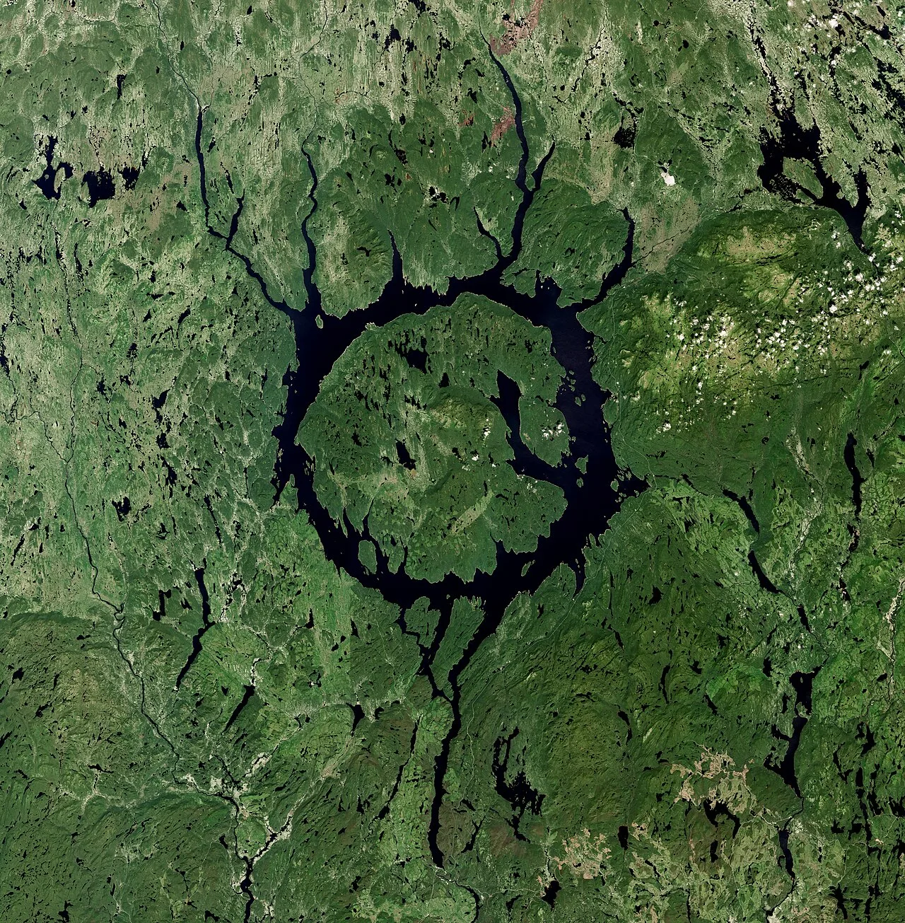
Manicouagan Reservoir by Sentinel-2
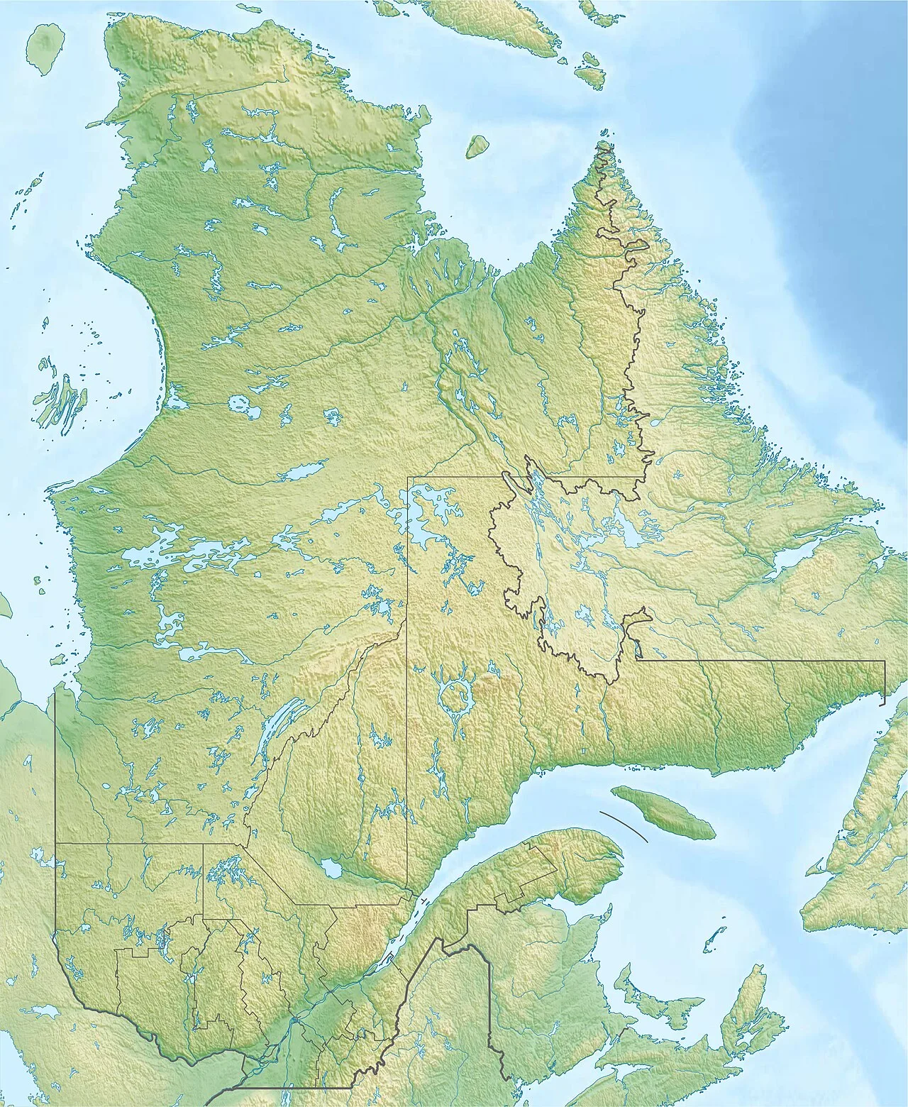
Manicouagan Reservoir is located in Quebec
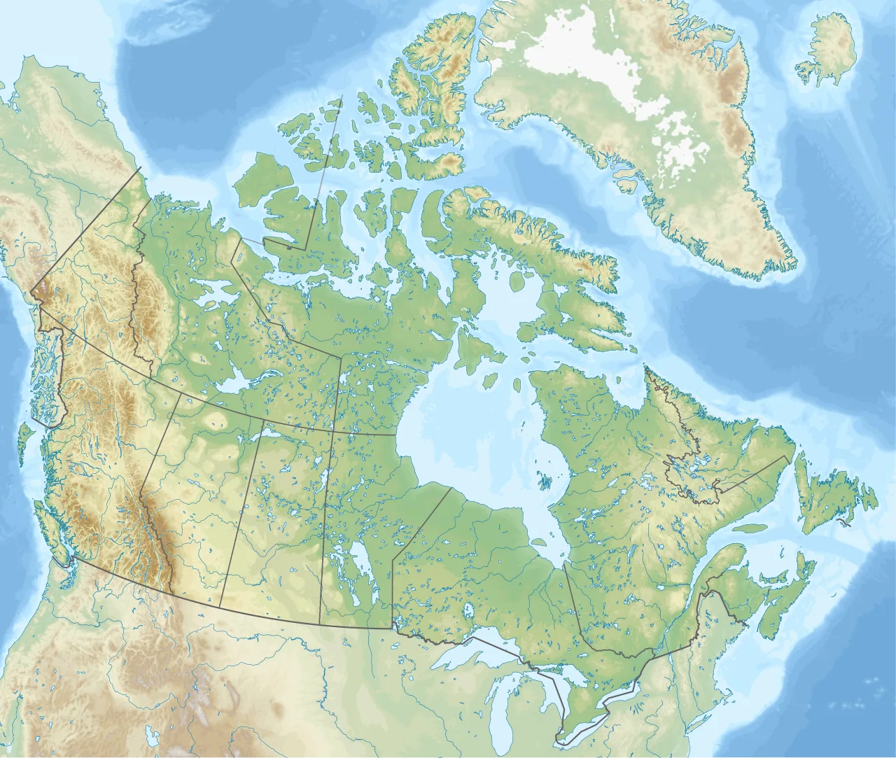
Manicouagan Reservoir is located in Canada
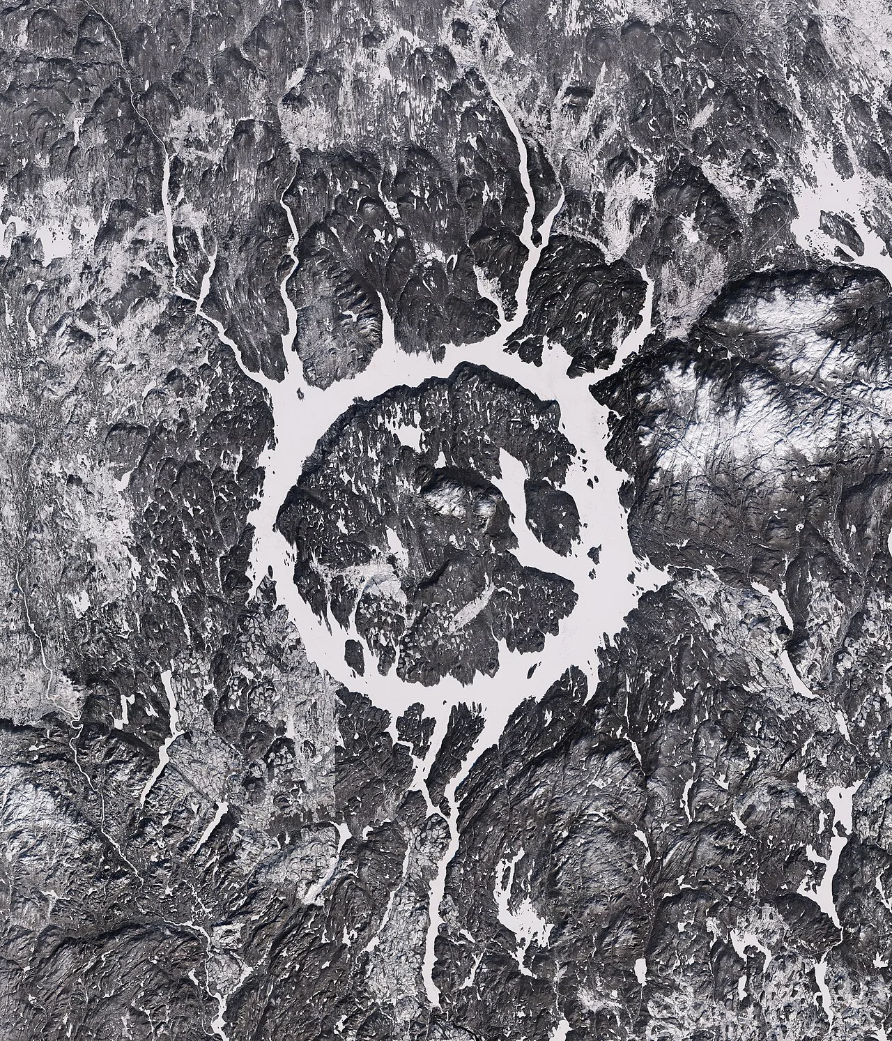
The crater in winter, as seen from space
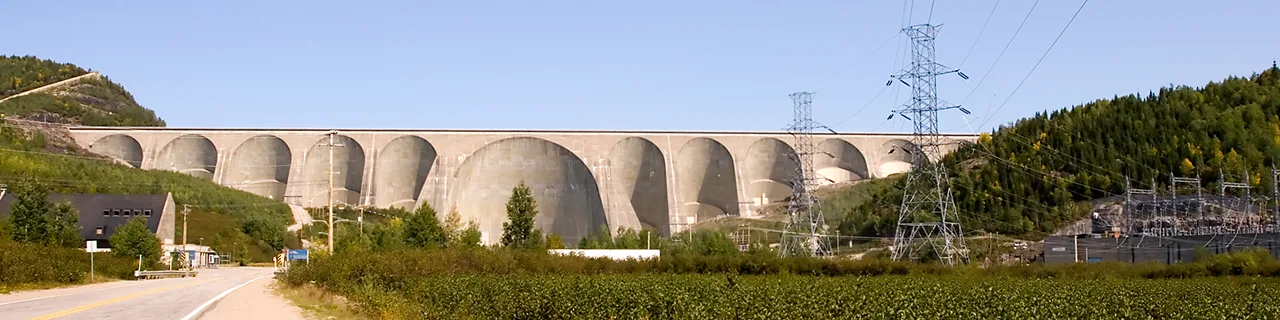
Daniel-Johnson Dam, the primary dam on the Manicouagan Reservoir, supports the Manic-5 hydro-power station
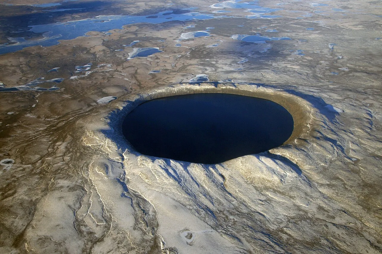
Pingualuit aerial 2007
Manicouagan crater
Manicouagan Reservoir is an annular lake in central Quebec, Canada, created 214 million years ago by the impact of a meteorite.
The Ringed Peak Visible from Orbit
At the center of the structure lies René-Levasseur Island, anchored by Mount Babel as its highest peak. Holding a total volume of 137.9 km3, this massive circular lake formation forms a prominent landmark visible from orbit. Because of its striking ring-like appearance, the reservoir and island are widely referred to as the "eye of Quebec."
From Wikipedia · CC BY-SA 4.0
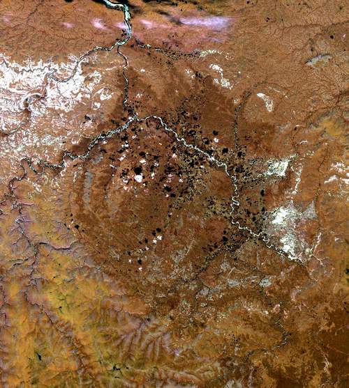
Popigai crater russia
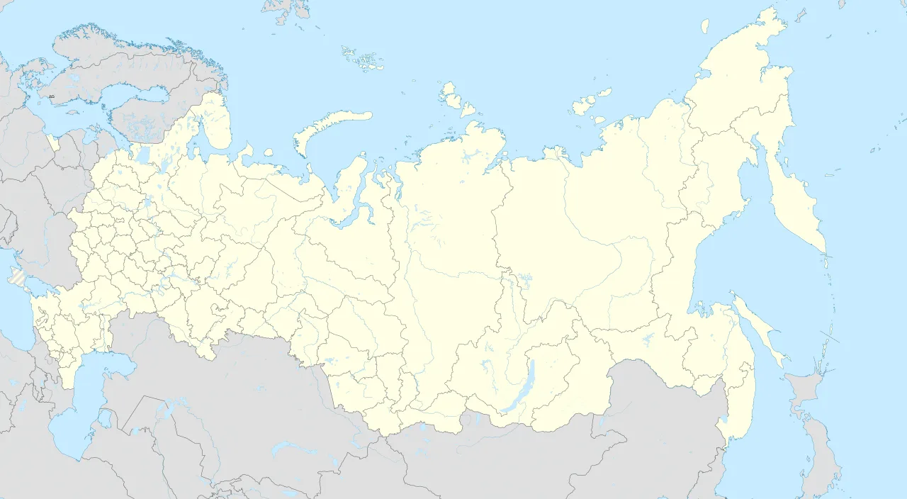
Popigai impact structure is located in Russia
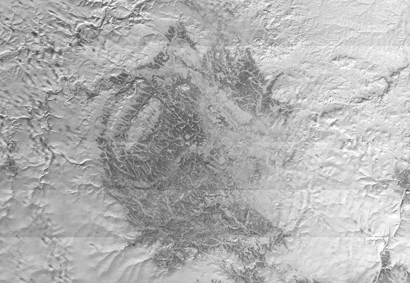
Popigai crater in April 1967
![Popigai diamonds are about 1 mm in size and consist of nanodiamond agglomerates.[7]](https://hmzpdsmr7uczkvx4.public.blob.vercel-storage.com/wikifeed/popigai-crater/3-cca8c85482.webp)
Popigai diamonds are about 1 mm in size and consist of nanodiamond agglomerates.[7]
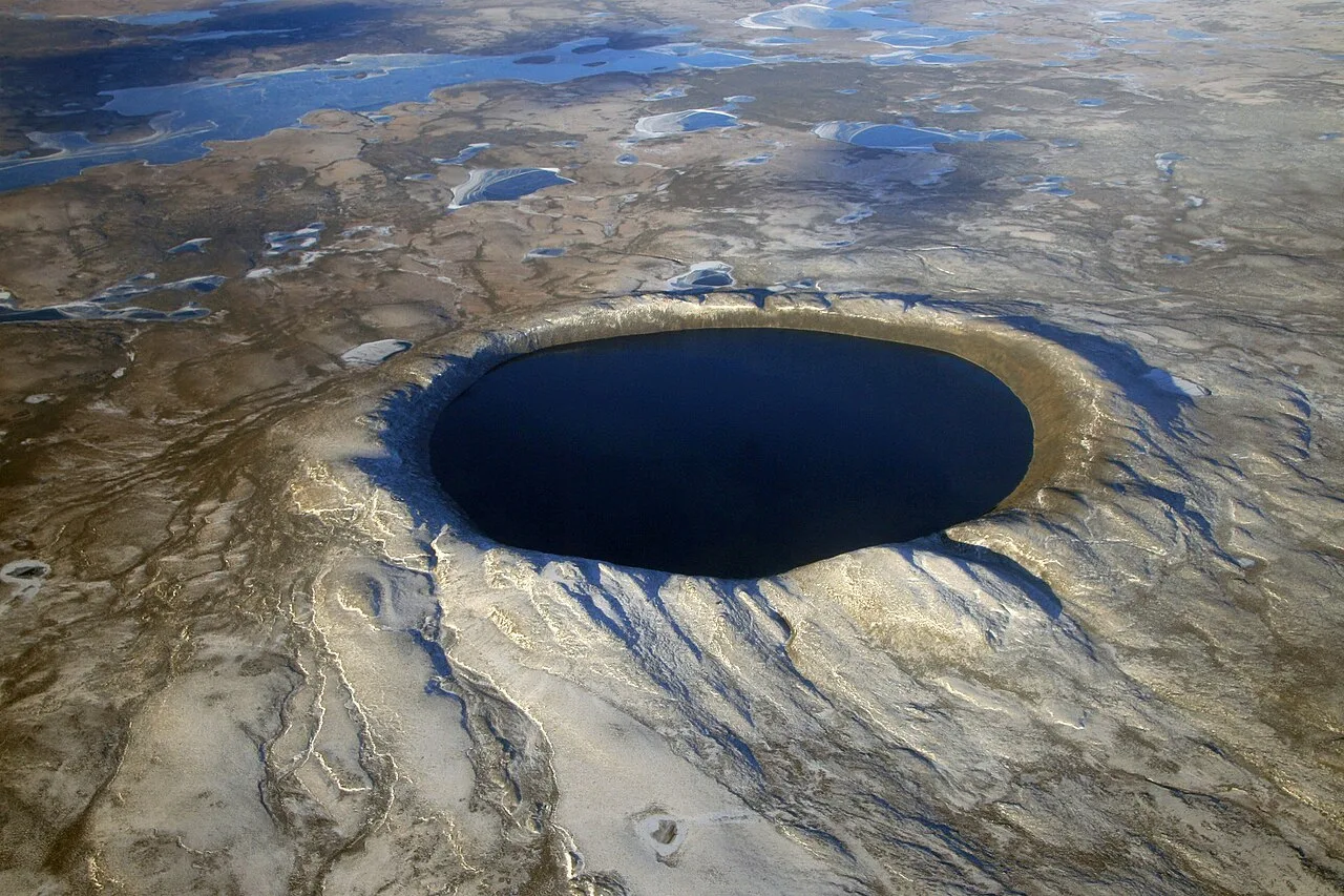
Pingualuit aerial 2007
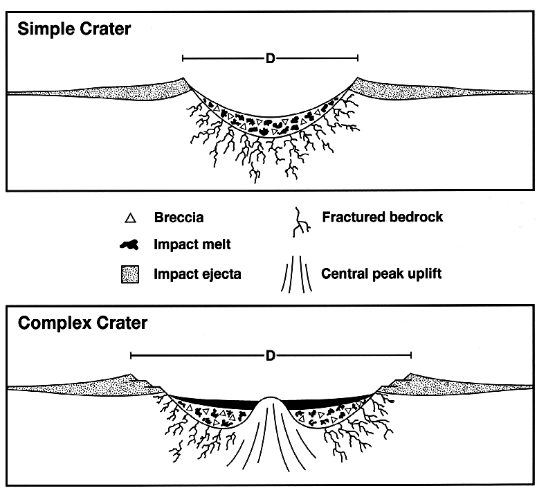
Craterstructure
Popigai crater
The Popigai impact structure is the eroded remnant of a massive impact crater in northern Siberia, Russia, formed approximately 35 million years ago.
A Mid-Eocene Collision Tied to Global Extinction
A massive bolide impact created the 100-kilometre-diameter Popigai crater in northern Siberia approximately 35 million years ago during the late Eocene epoch. This ancient catastrophic remnant is tied with the Acraman impact structure as the fourth largest verified impact structure on Earth. Today designated by UNESCO as a Geopark, this site of geological heritage holds significant ecological history. Scientists hypothesize that this violent cosmic collision might be directly linked to the Eocene–Oligocene extinction event.
From Wikipedia · CC BY-SA 4.0
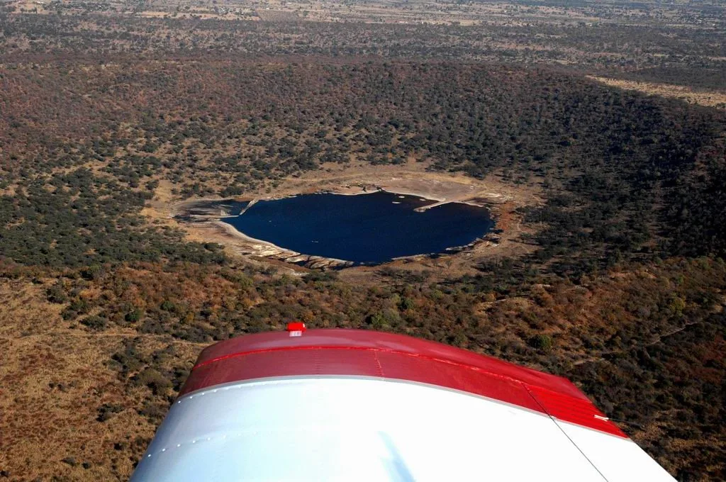
Tswaing, Salt Pan Crater
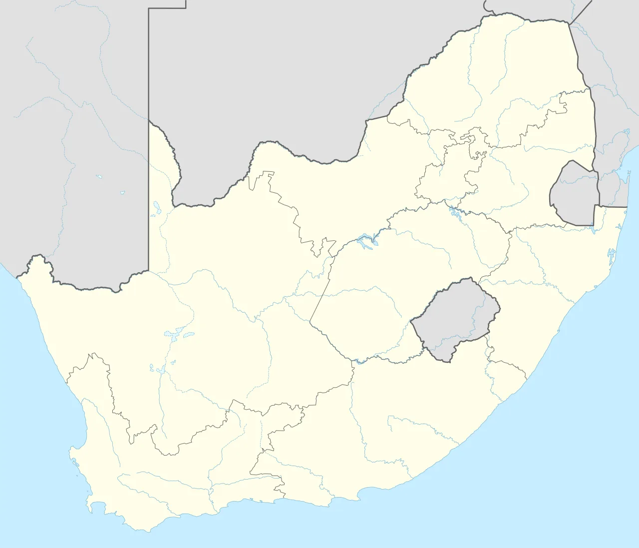
Tswaing crater is located in South Africa
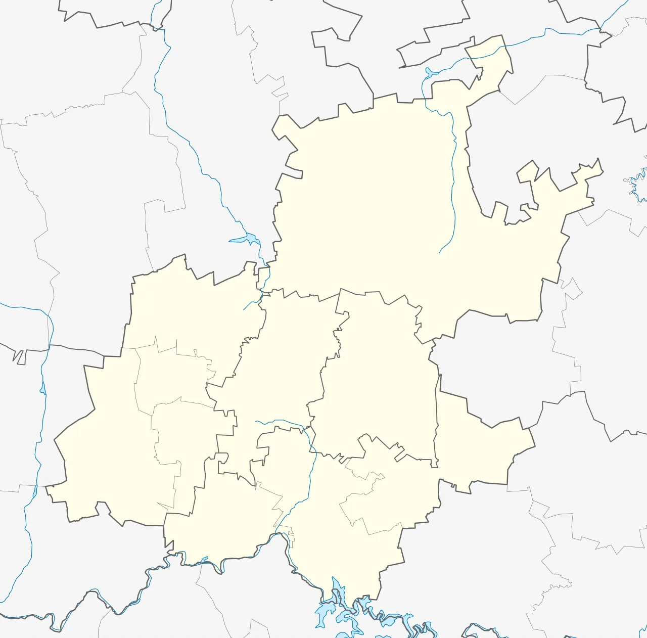
Tswaing crater is located in Gauteng
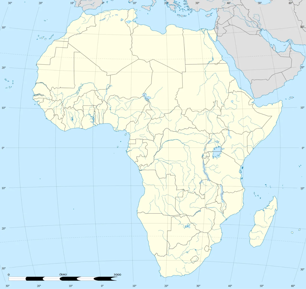
Tswaing crater is located in Africa
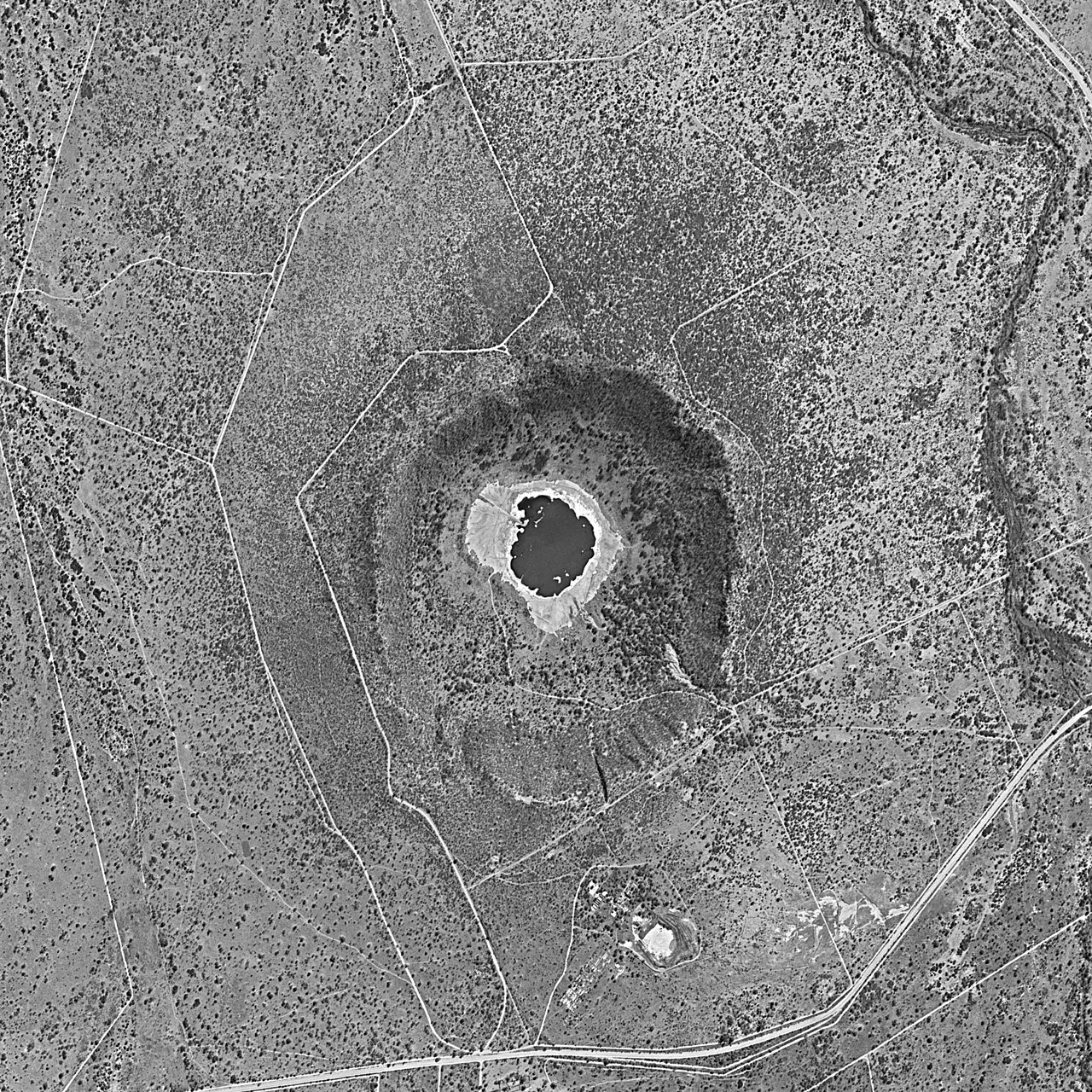
Satellite photo of Tswaing crater in 1984
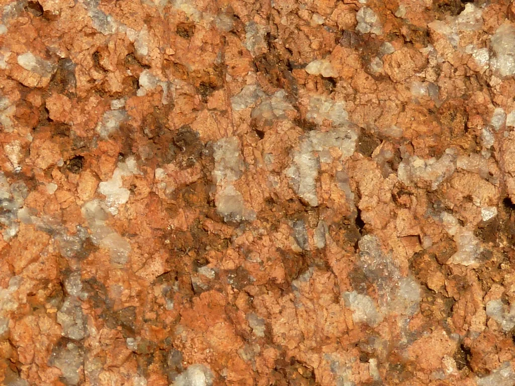
Nebo granite of the Bushveld Igneous Complex, from the crater wall
Tswaing crater
Tswaing is an impact crater enclosed by a nature reserve in the northern Gauteng province of South Africa.
A Vanished Impactor Built a Kilometer-Wide Basin
A celestial collision reshaped the terrain of northern Gauteng when a space rock struck ancient bedrock. The impactor is believed to have been a chondrite or stony meteorite some 30 to 50 m in diameter that was vaporised during the impact event. Although the cosmic object vanished instantly in the explosion, it created a lasting geological footprint.
From Wikipedia · CC BY-SA 4.0
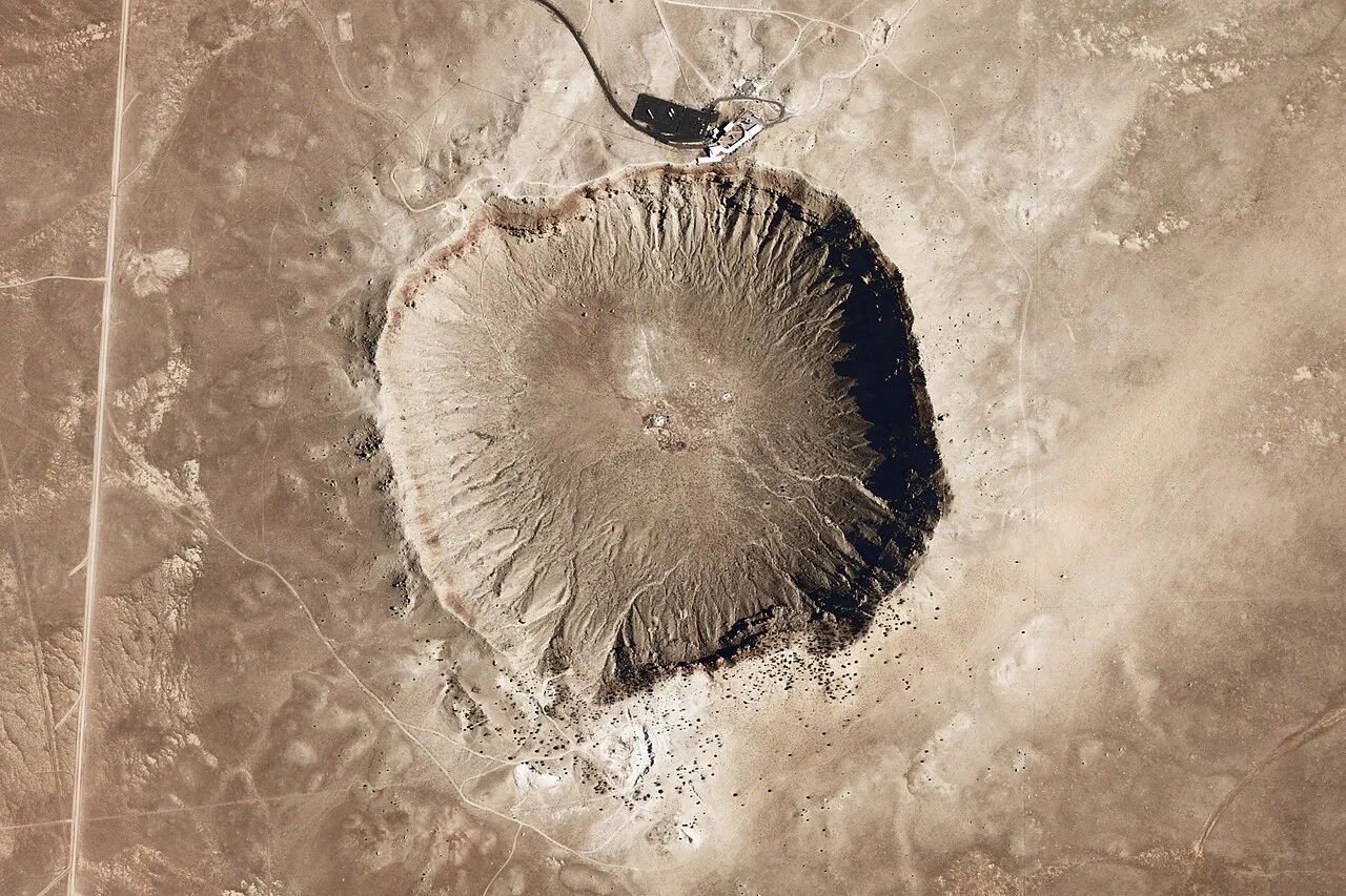
Meteor Crater - Arizona
Meteor Crater is located in Arizona
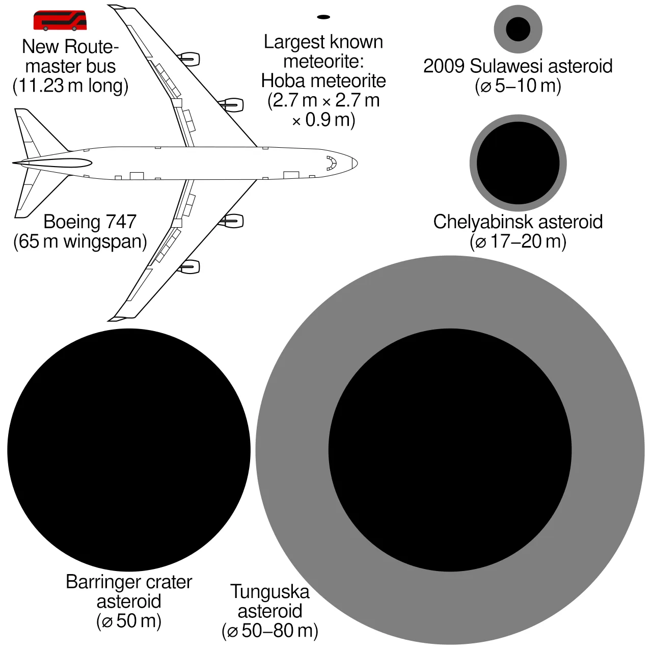
Comparison of approximate sizes of notable impactors with the Hoba meteorite and a Boeing 747.
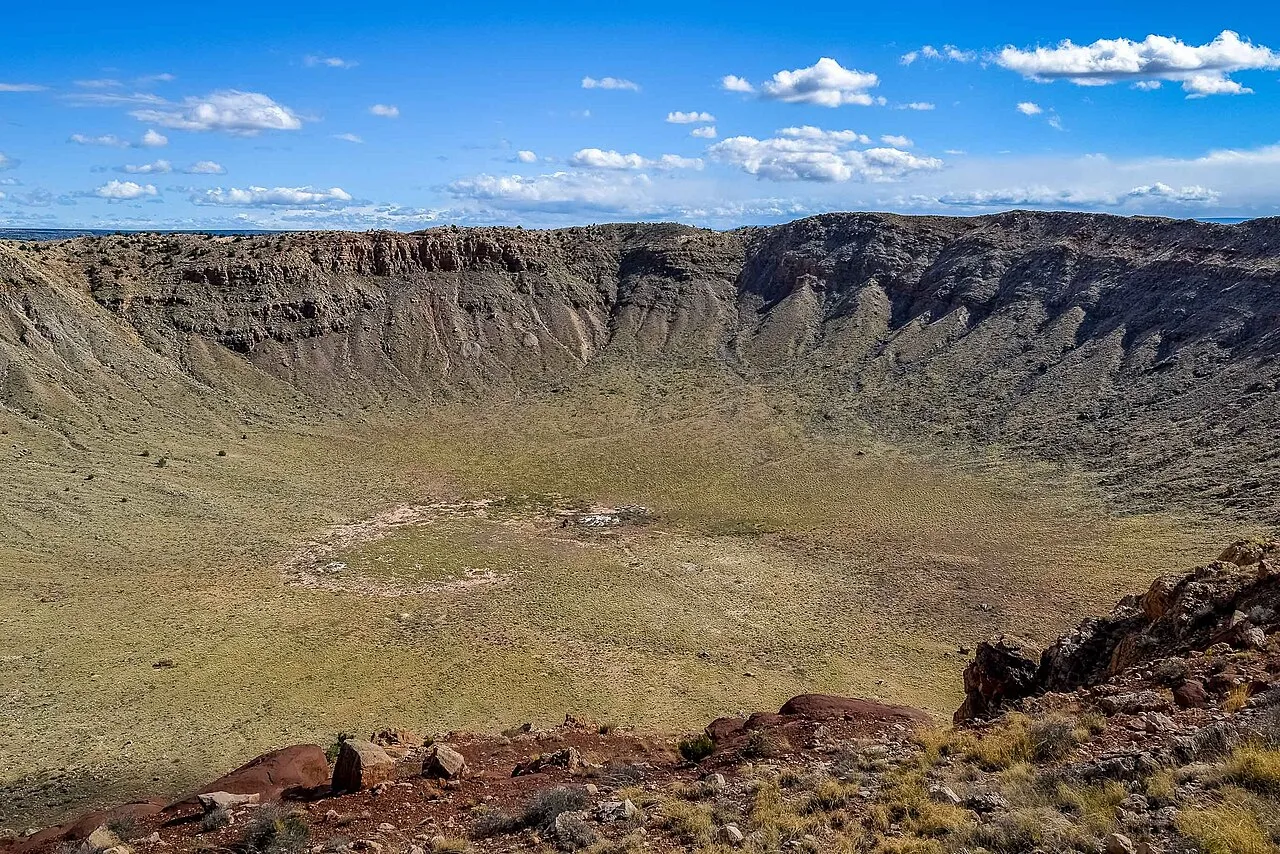
Looking into the crater from the north rim: The rust-colored area on the far (south) rim is where the last drilling for the meteorite occurred, in 1929. This is where Daniel M. Barringer believed the bulk of the meteorite was buried. Rock around the south rim is visibly uplifted.
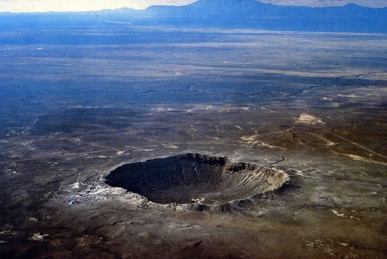
Meteor Crater from the southeast; the uplift around the rim can be seen
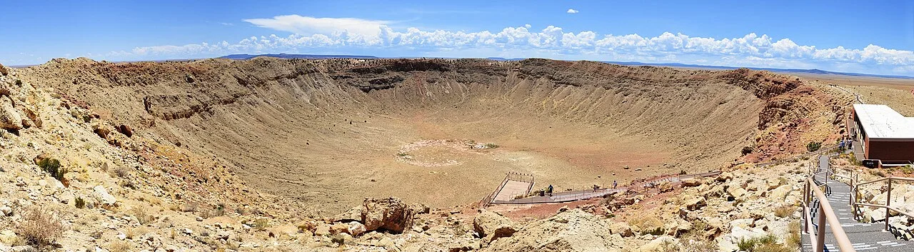
Panoramic view from upper deck
Meteor Crater
Meteor Crater, or Barringer Crater, is an impact crater located east of Flagstaff and west of Winslow in the desert of northern Arizona, United States.
Squaring the Circle of Impact Basins
While most people picture impact craters as perfectly round bowls, Meteor Crater features a distinctly squared-off outline. This unusual geometric profile was produced by pre-existing regional jointing, or natural cracks, running through the rock strata at the site. Rather than carving a symmetrical circle, the kinetic force of the impact expanded preferentially along these subterranean fractures. Consequently, the crater's modern rim reflects the ancient structural geology of the Arizona desert.
From Wikipedia · CC BY-SA 4.0
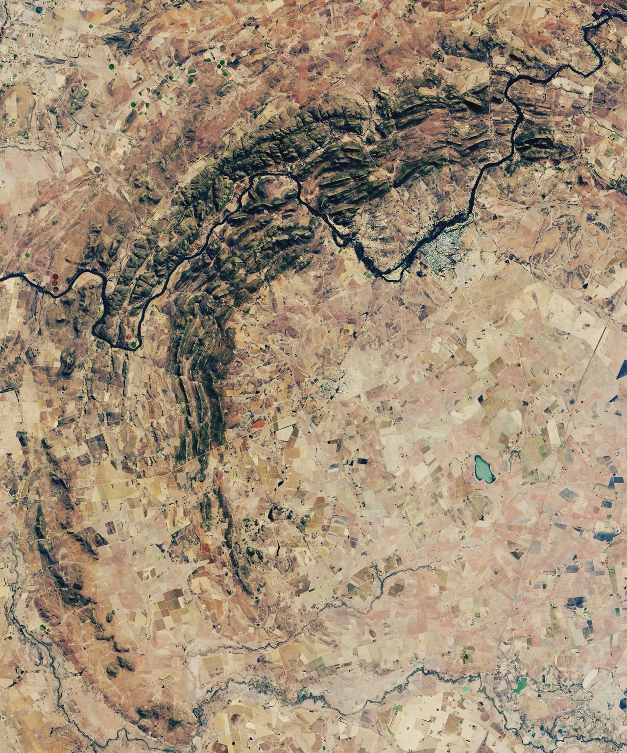
Vredefort Crater, South Africa, OLI satellite image, 27 June 2018 cropped
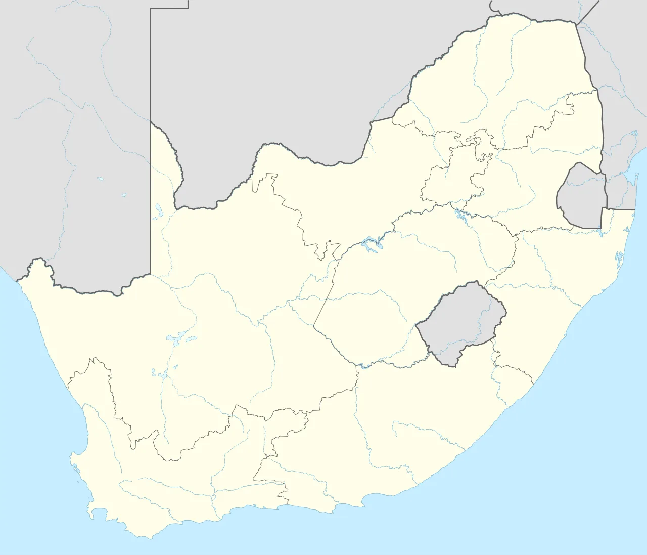
Vredefort impact structure is located in South Africa
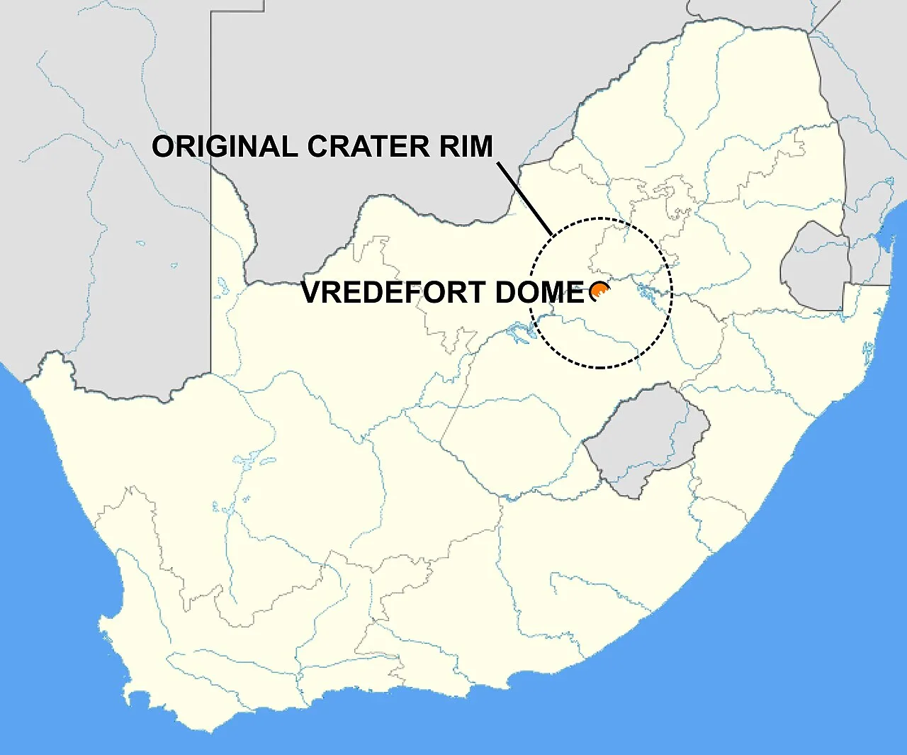
Map of South Africa showing the location of the Vredefort Dome, the remains of a 2.023-billion-year-old impact structure. The dashed line circle, 300 km (190 mi) in diameter, marks the extent of the original crater.

The view from the top of Aasvoëlkop in the heart of the Vredefort impact structure with the Vaal River and Venterskroon on its right in the background
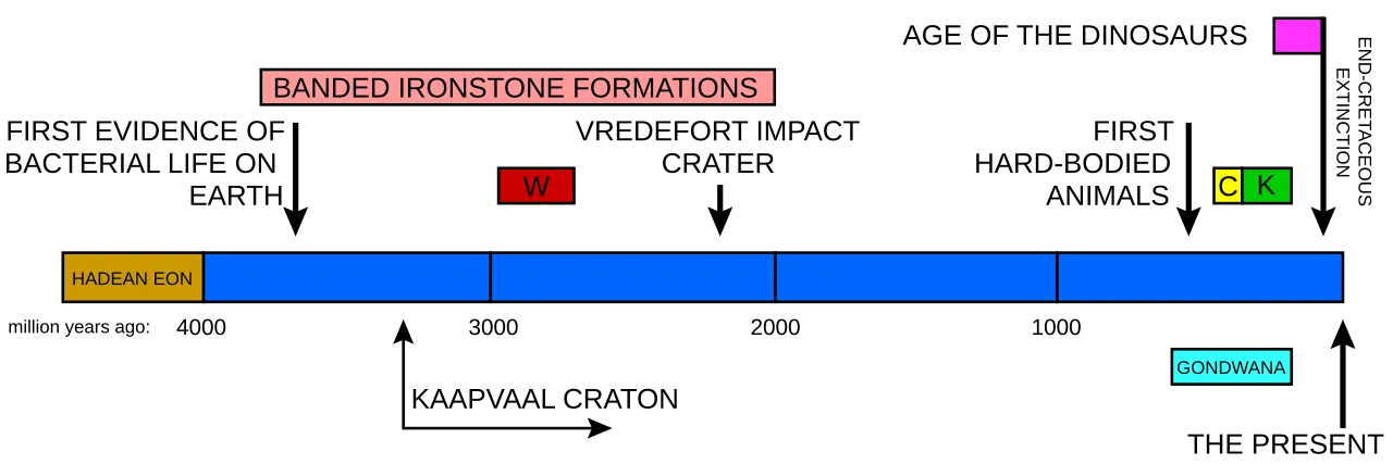
A timeline of the Earth's history indicating when the Vredefort impact structure was formed in relation to some of the other important South African geological events. W indicates when the Witwatersrand Supergroup was laid down, C the Cape Supergroup, and K the Karoo Supergroup. The graph also indicates the period during which banded ironstone formations were formed on earth, indicative of an oxygen-free atmosphere. The Earth's crust was wholly or partially molten during the Hadean Eon. One of the first microcontinents to form was the Kaapvaal craton, which is exposed at the centre of the Vredefort Dome, and again north of Johannesburg.
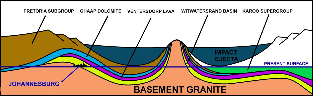
A schematic diagram of a NE (left) to SW (right) cross-section through the 2.020-billion-year-old Vredefort impact structure and how it distorted the contemporary geological structures. The present erosion level is shown. Johannesburg is where the Witwatersrand Basin (the yellow layer) is exposed at the "present surface" line, just inside the impact structure's rim, on the left. Not to scale.
Vredefort crater
The Vredefort impact structure, located in South Africa's Free State province, is one of the largest impact structures on Earth.
Recalculating a Prehistoric Cataclysm
A 2022 assessment expanded the estimated size of the impacting asteroid to between 20 and 25 kilometres in diameter. Striking at a vertical velocity of 15–25 kilometres per second, it released kinetic energy reaching ~2-4×1024 J. This revised model matches physical evidence left in the rock better than earlier estimates.
From Wikipedia · CC BY-SA 4.0