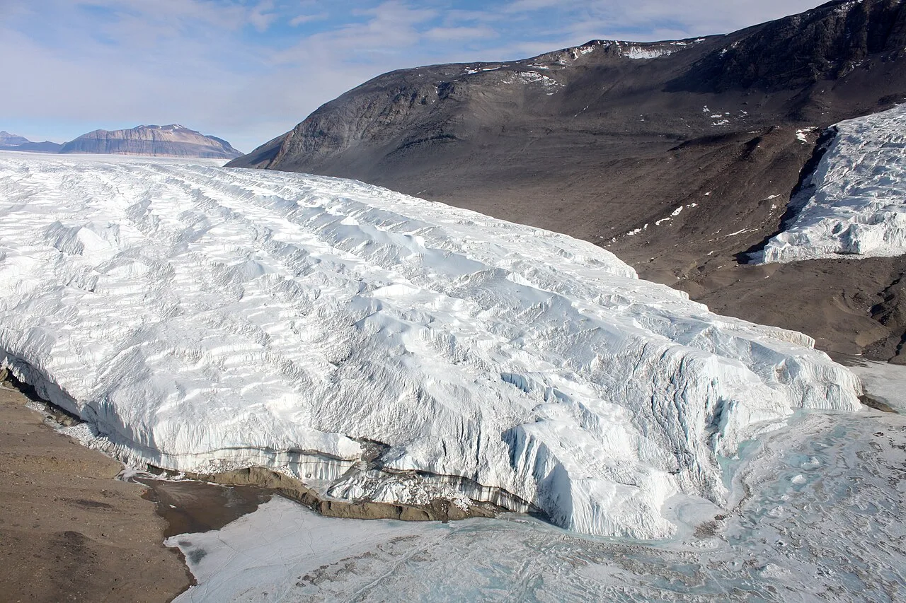
Taylor Glacier, Antarctica 2
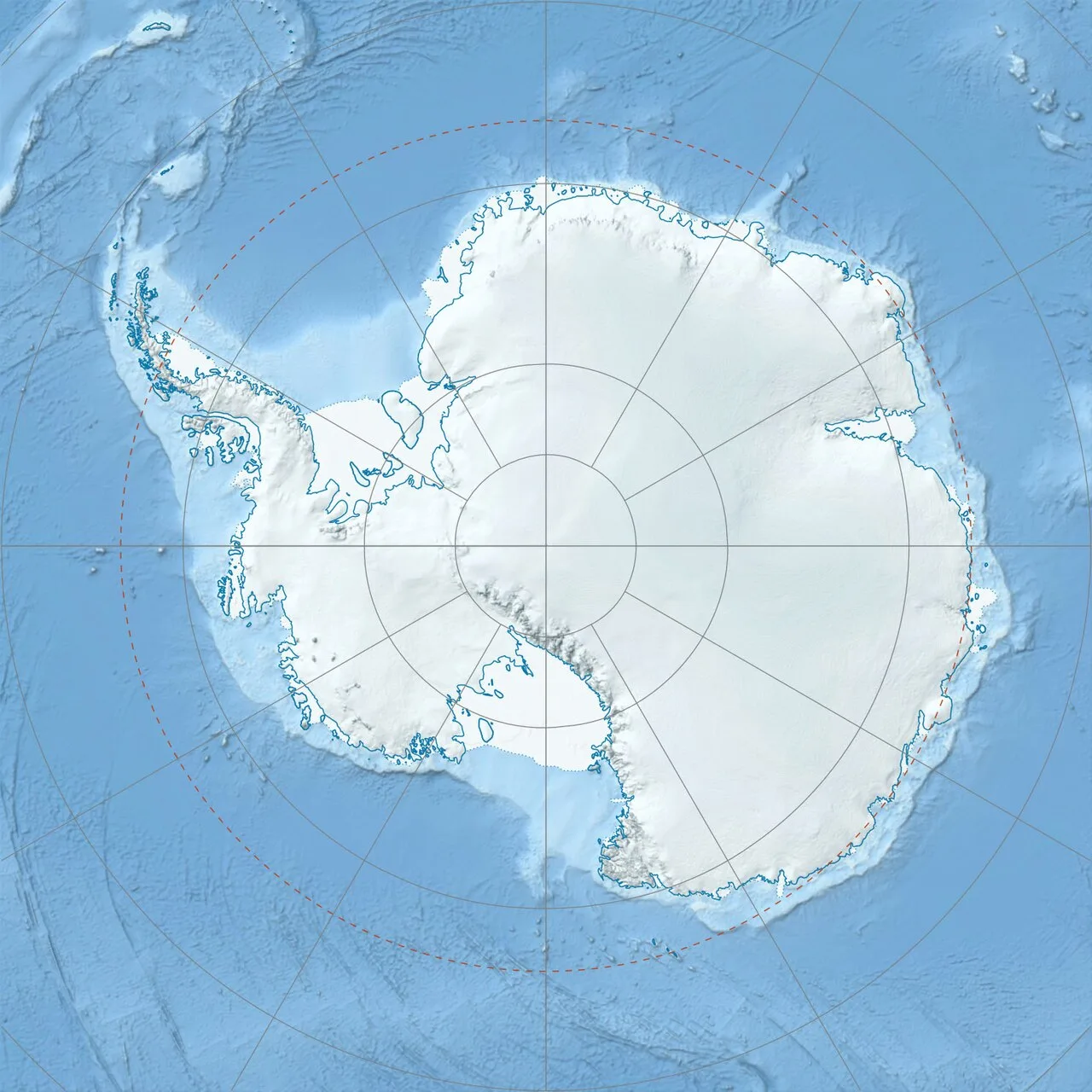
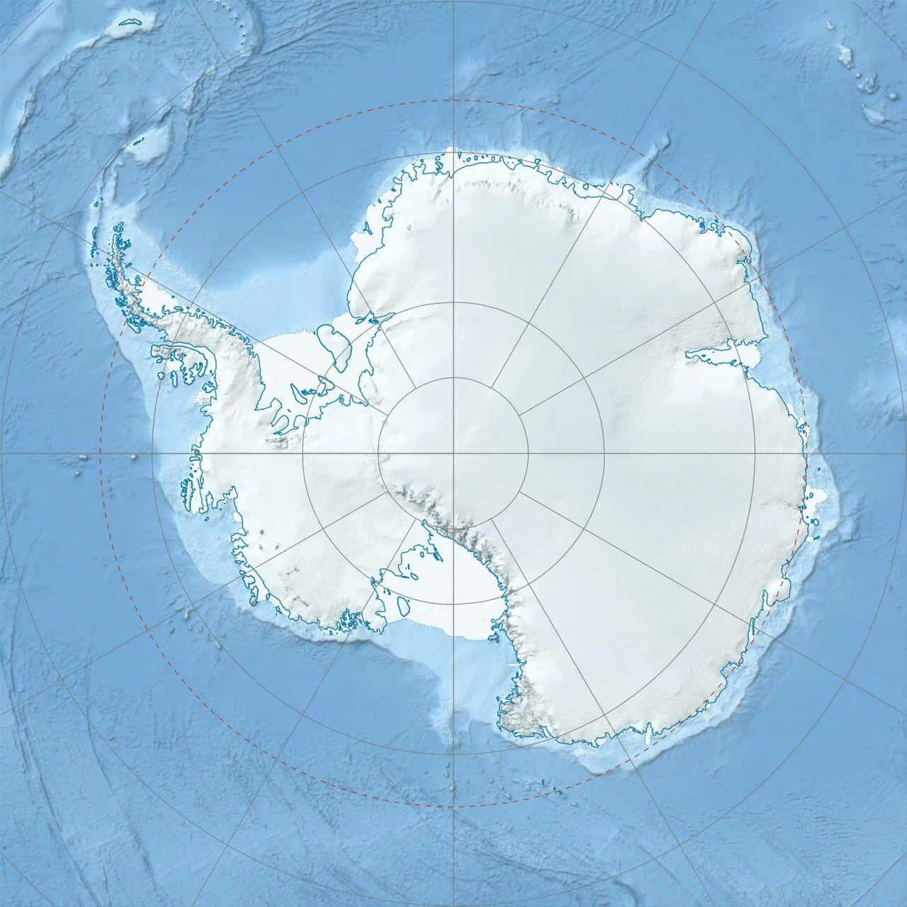
Taylor Glacier is located in Antarctica
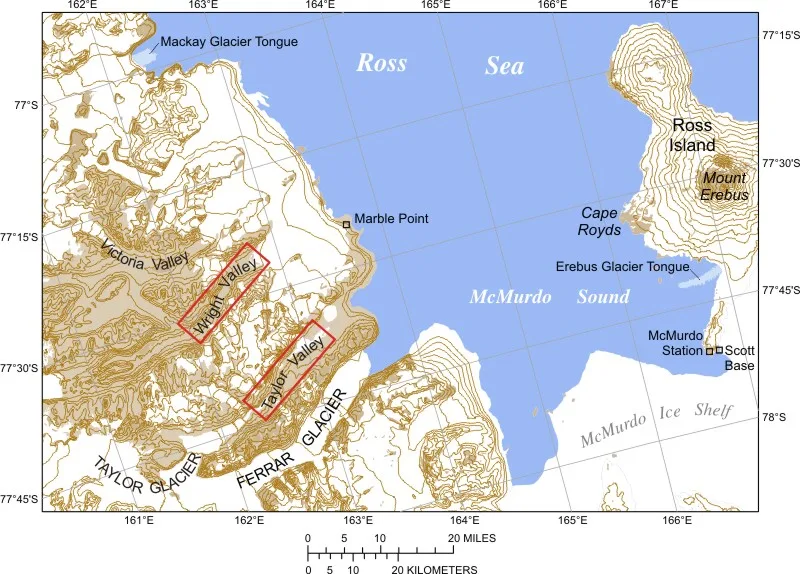
Taylor and Ferrar Glaciers and McMurdo Sound, Antarctica
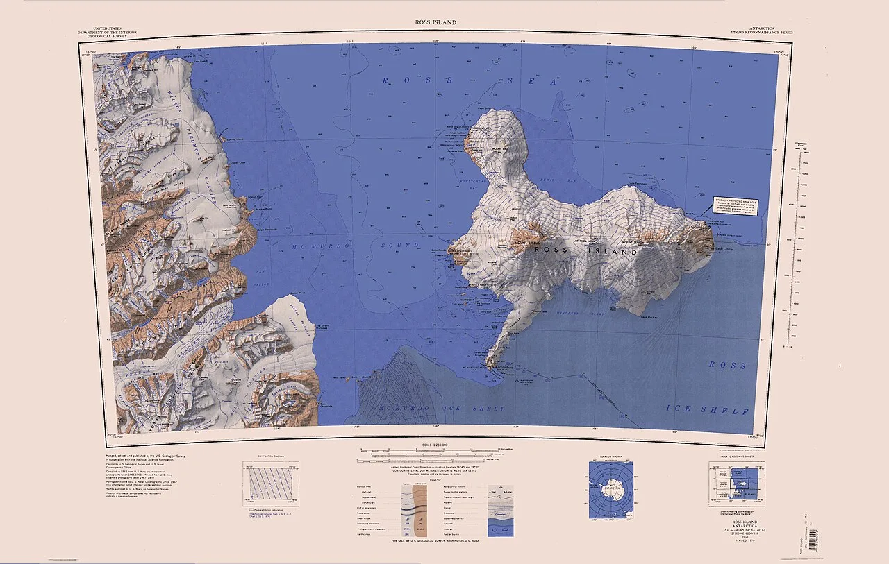
East end of Taylor Glacier south of center
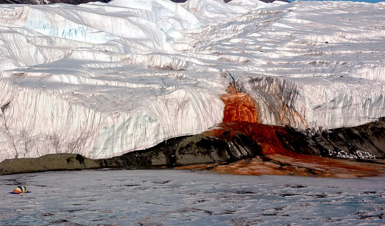
Blood Falls, 2006
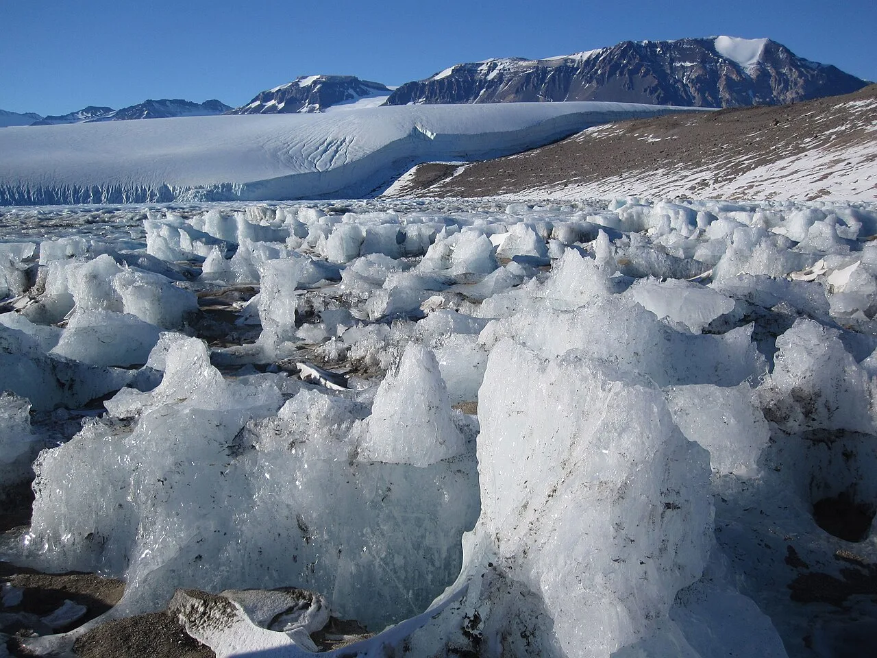
Lake Joyce is ice covered all year round, and the icy surface is constantly reshaped by wind, freezing and thawing.
Taylor Glacier
The Taylor Glacier is a glacier in Antarctica flowing from the plateau of Victoria Land into the western end of Taylor Valley.
Conjoined Twins of Polar Ice
Early explorers initially misidentified Taylor Glacier as a continuous part of Ferrar Glacier. In 1910, the Western Journey Party discovered that the two glaciers were apposed, joined in Siamese-twin fashion north of Knobhead. Robert Falcon Scott subsequently named the upper ice stream after expedition geologist Thomas Griffith Taylor.
From Wikipedia · CC BY-SA 4.0
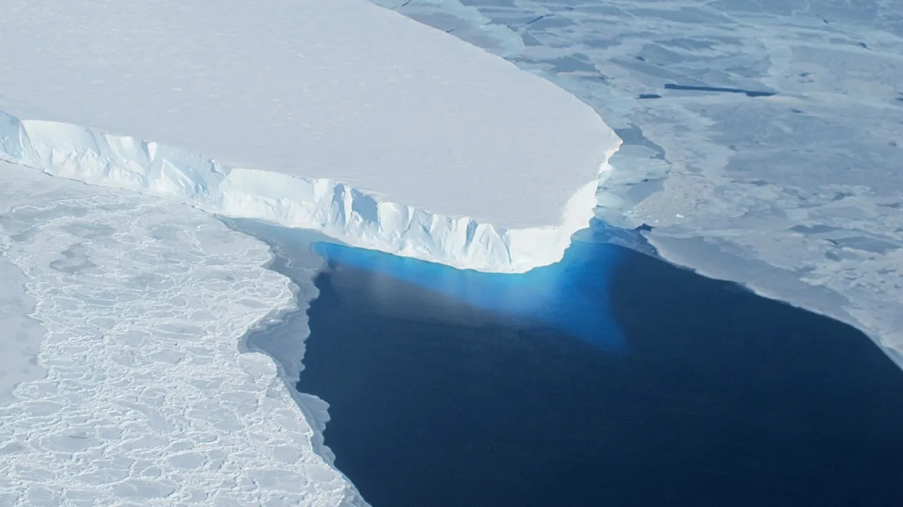
Thwaites Glacier
Thwaites Glacier is located in Antarctica
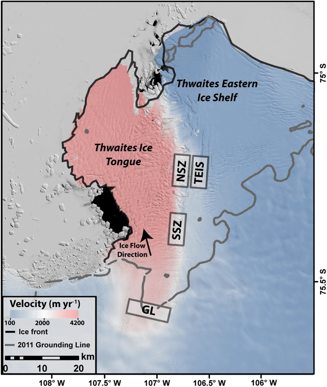
Thwaites Eastern Ice Shelf (TEIS) and Thwaites Ice Tongue in 2013, soon after the latter broke up and lost cohesion, leading to much faster retreat rates (red instead of blue). Other labels refer to the ice tongue's grounding line, and northern and southern shear zones where it is in direct contact with the ice shelf.[30]
![Map of various volcanoes found underneath the West Antarctic Ice Sheet[41]](https://nwjvzop1xgplmzvt.public.blob.vercel-storage.com/wikifeed/thwaites-glacier/3-acac9e789d.jpg)
Map of various volcanoes found underneath the West Antarctic Ice Sheet[41]
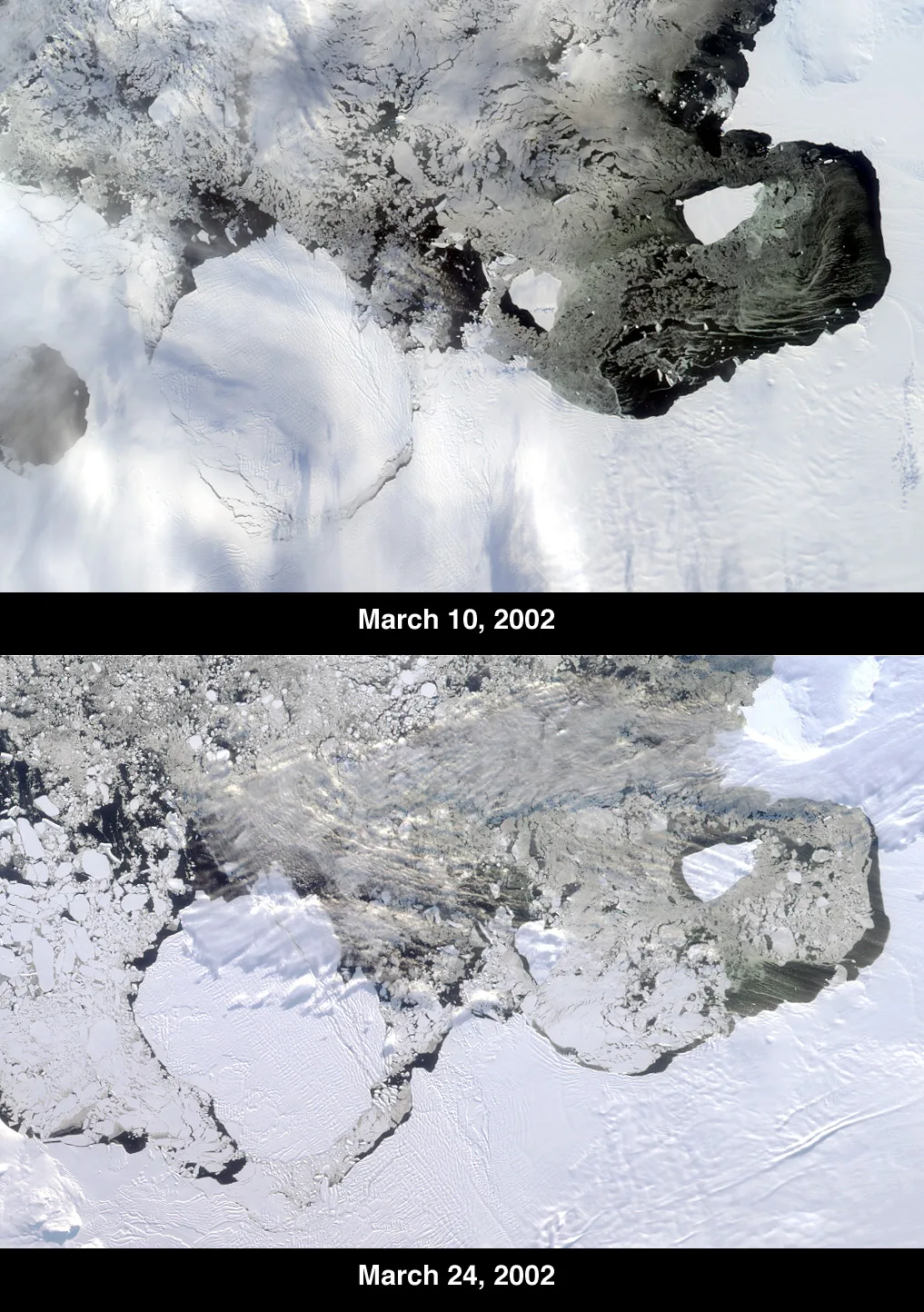
The B-22 iceberg broke off from the Thwaites Glacier Tongue on March 15, 2002.
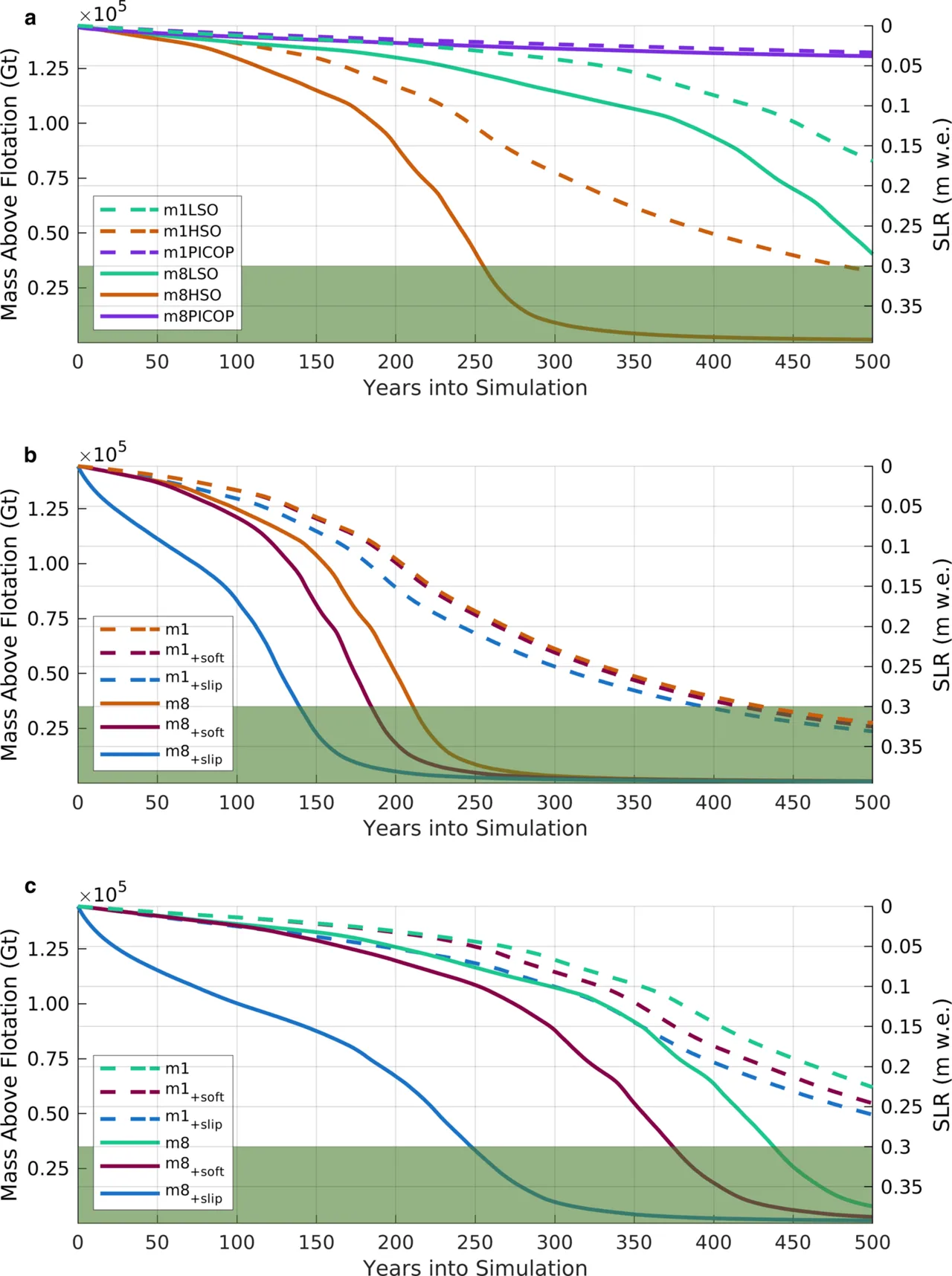
Contribution to sea level rise from a modelled area of Thwaites Glacier under high and low warming (HSO and LSO) and high (m1) and low (m8) friction. Top shows both warming scenarios in a high-detail model, while middle and bottom graphics show the HSO and LSO scenarios in low-resolution models.
Thwaites Glacier
Thwaites Glacier is an unusually broad and vast Antarctic glacier located east of Mount Murphy, on the Walgreen Coast of Marie Byrd Land.
Microbiological Algorithms Tracking Fractured Ice
Researchers studying the disintegrating Thwaites Glacier Tongue encountered rapid fluctuations where annual retreat accelerated by 40% twice over six years. To monitor these structural shifts, glaciologists repurposed a machine learning algorithm originally developed for microbiology. This biological tool now identifies crevasses within the drifting iceberg melange to project future stability.
From Wikipedia · CC BY-SA 4.0
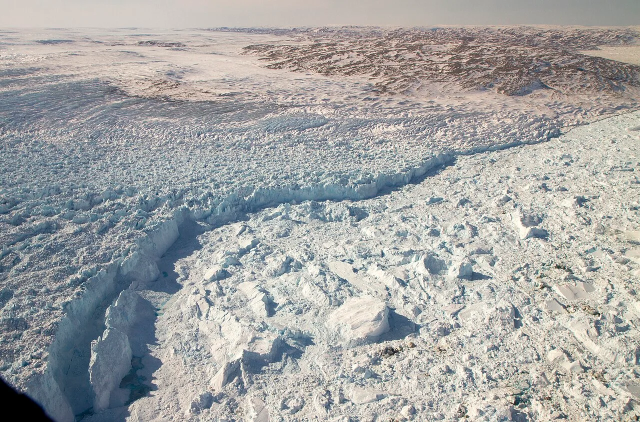
Jakobshavn Calving Front (7166014512)
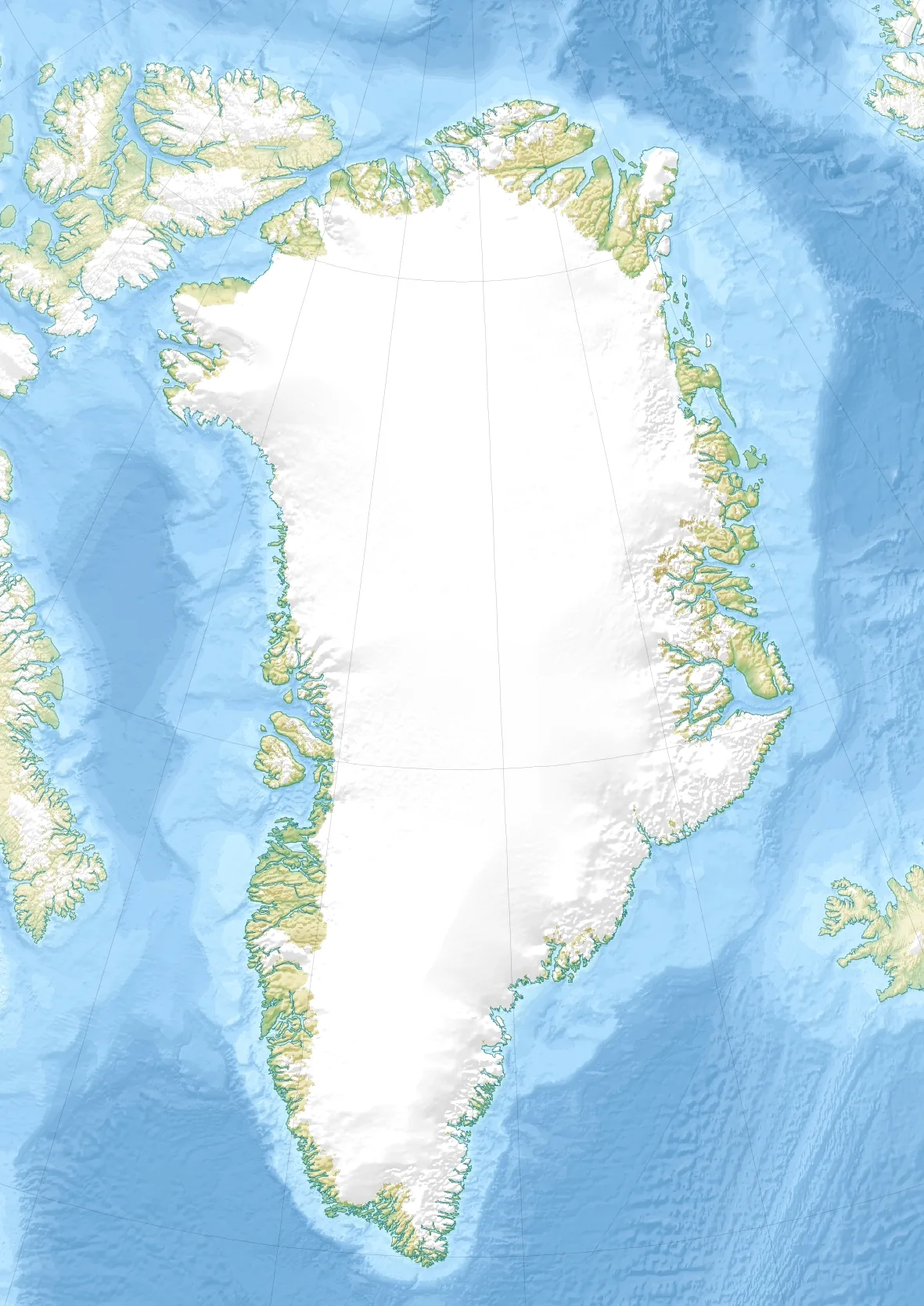
Jakobshavn Glacier is located in Greenland
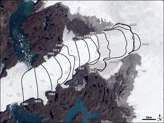
Landsat image of Jakobshavn Glacier. The lines show the position of the calving front of the Jakobshavn Glacier since 1851. The date of this image is 2006 and the calving front of the glacier can be seen at the 2006 line. The area stretching from the calving front to the sea (towards the bottom left corner) is the Ilulissat icefjord. Courtesy of NASA Earth Observatory
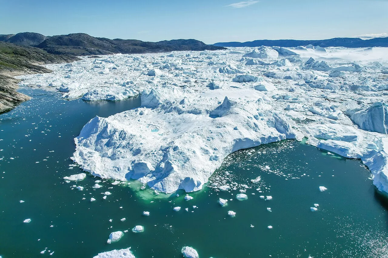
Aerial view of Jakobshavn Glacier from west side
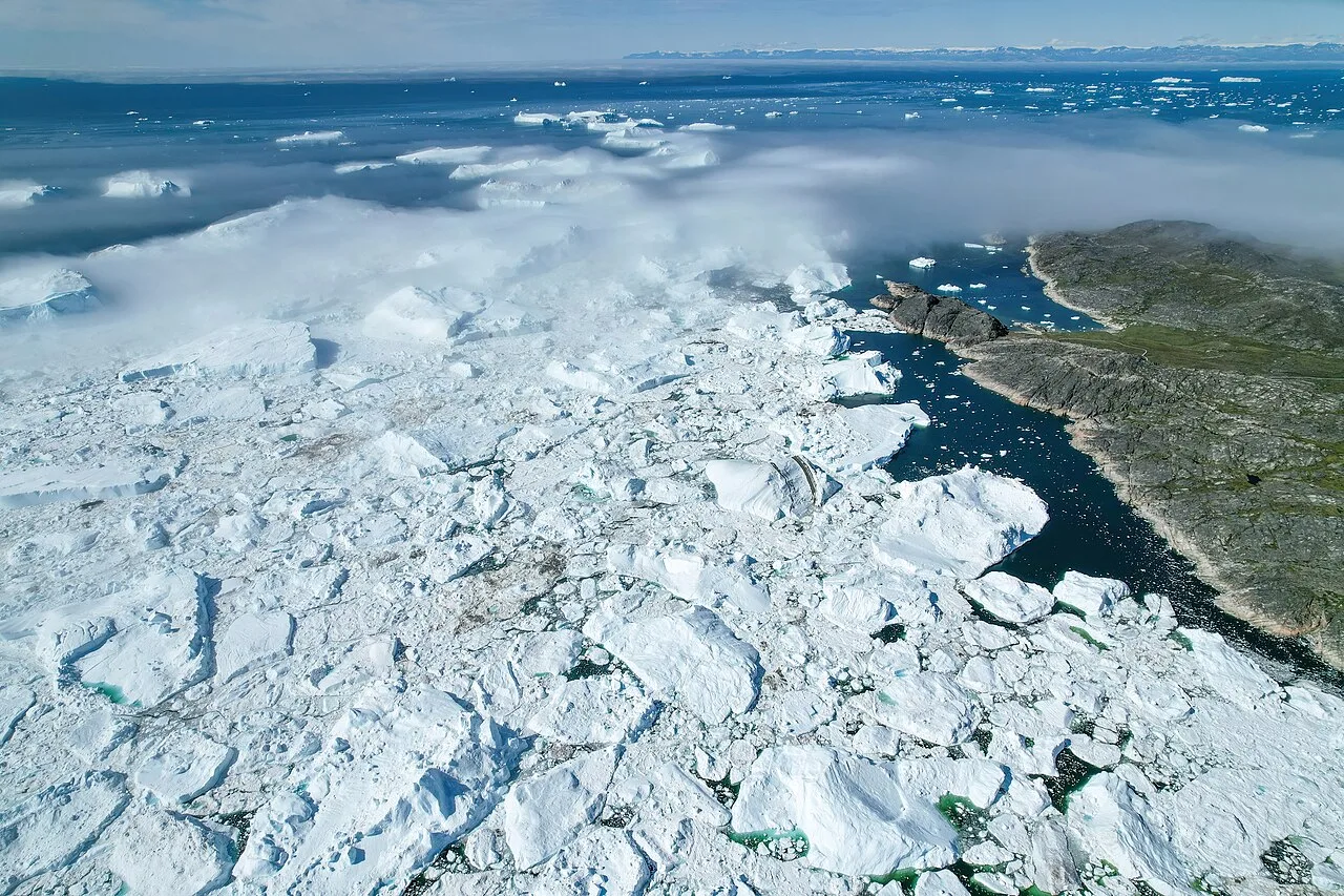
Aerial view of Jakobshavn Glacier looking to west side
Jakobshavn Glacier
Jakobshavn Glacier, also known as Ilulissat Glacier, is a large outlet glacier in West Greenland that ends in the Ilulissat Icefjord.
Icebergs Too Tall to Float
Icebergs breaking away from the glacier can reach up to 1 km in height, making them too tall to float through the fjord. Instead, these mammoth structures remain stuck on the shallow seabed for years at a time. They only dislodge when crushed by new icebergs pushing from behind as some 35 billion tonnes of ice calve off and pass out of the fjord annually.
From Wikipedia · CC BY-SA 4.0
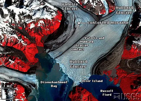
Hubbard landsat-tn
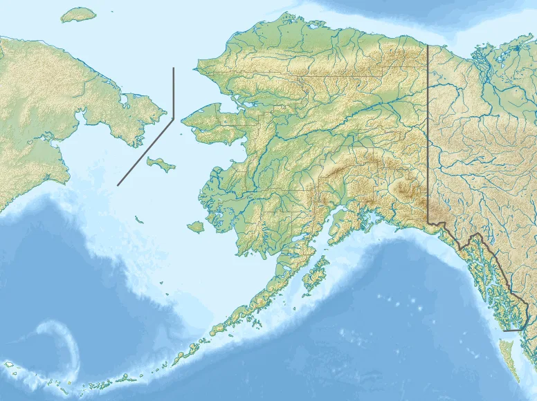
Hubbard Glacier is located in Alaska
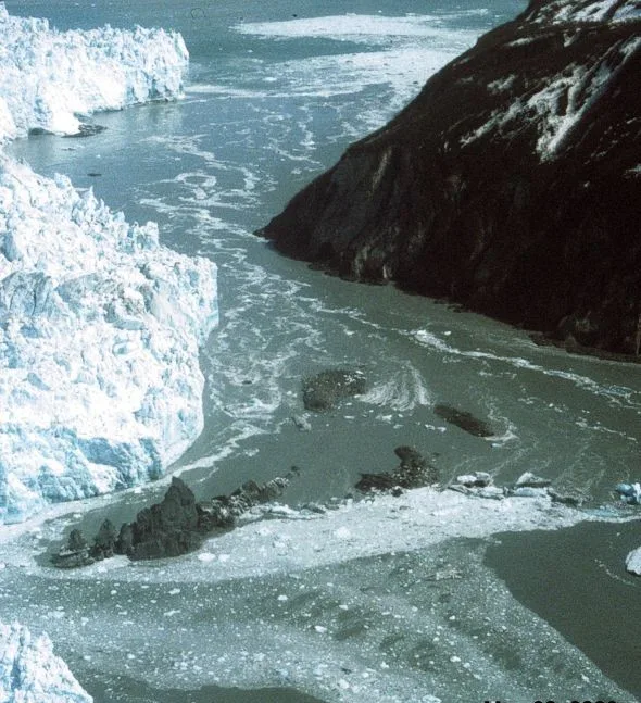
Hubbard Glacier, Alaska, squeezes towards Gilbert Point on May 20, 2002. The glacier is close to sealing off Russell Fjord at top from Disenchantment Bay at bottom.
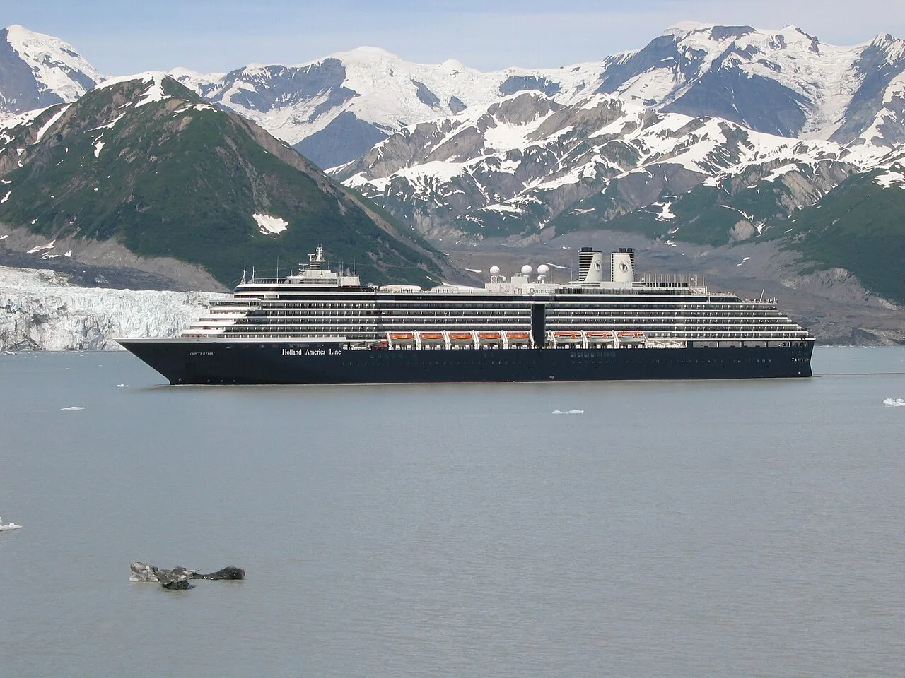
Holland America Line's MS Oosterdam passing Turner Glacier while leaving Disenchantment Bay
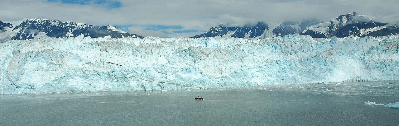
Closeup of Hubbard Glacier

Panoramic view
Hubbard Glacier
Hubbard Glacier is a glacier located in Wrangell-St. Elias National Park and Preserve in eastern Alaska and Kluane National Park and Reserve in Yukon, Canada.
Alpine Origins on High Mountain Ridges
Hubbard Glacier begins its journey high in the mountains, with its primary source located 122 kilometres away near Mount Walsh at an elevation around 3,400 metres. A secondary tributary emerges even higher, descending from the Mount Logan ridge at approximately 5,600 metres. These alpine sources feed the massive river of ice as it flows toward the sea.
From Wikipedia · CC BY-SA 4.0
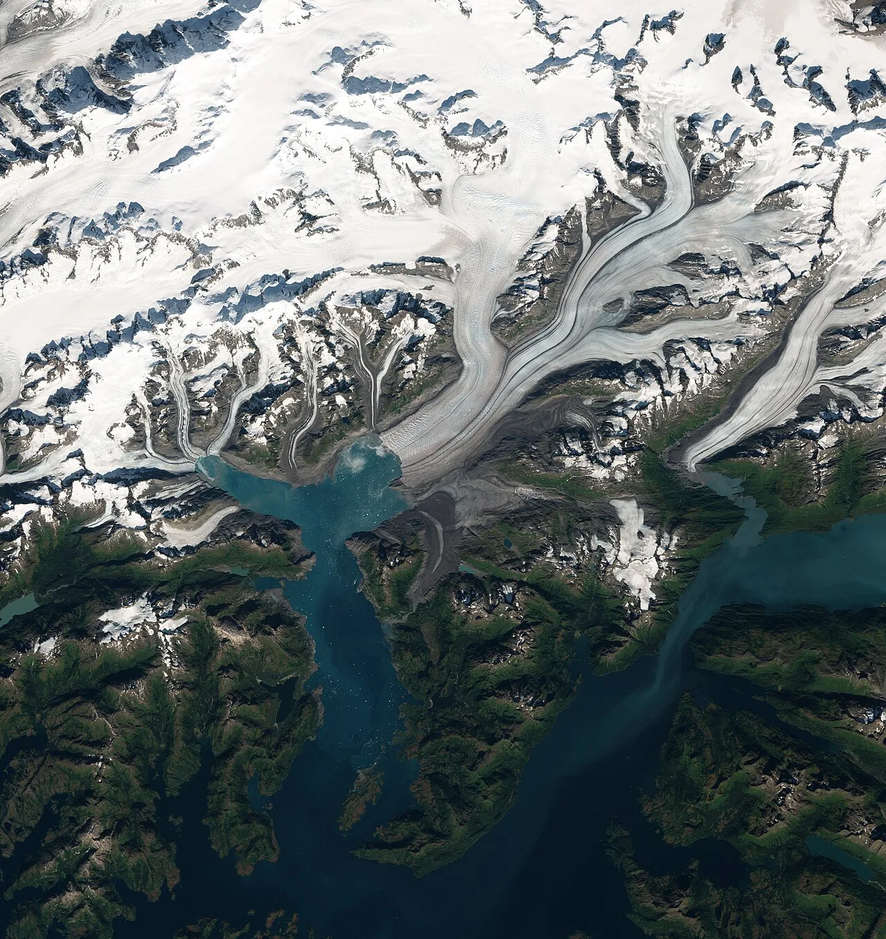
Columbia Glacier (Alaska) by Sentinel-2
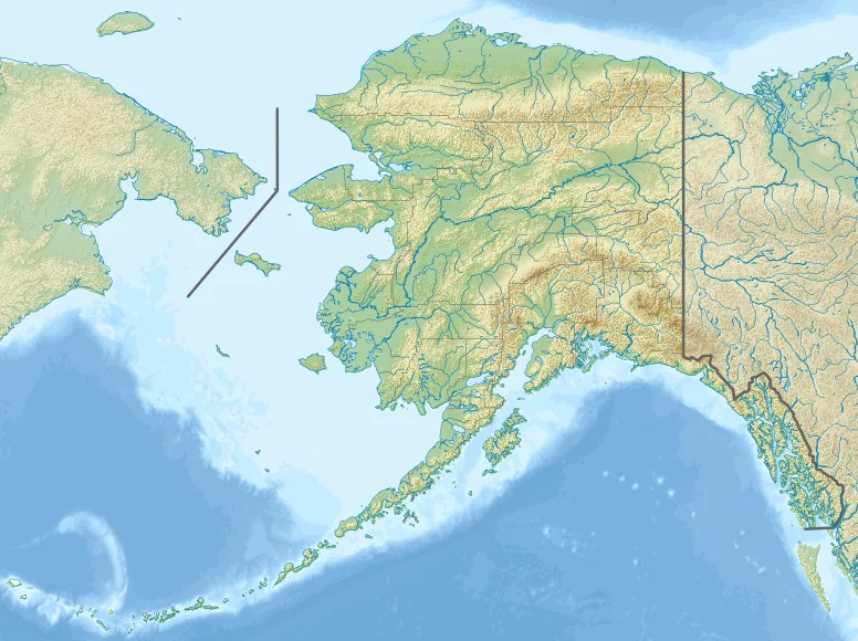
Columbia Glacier (Alaska) is located in Alaska
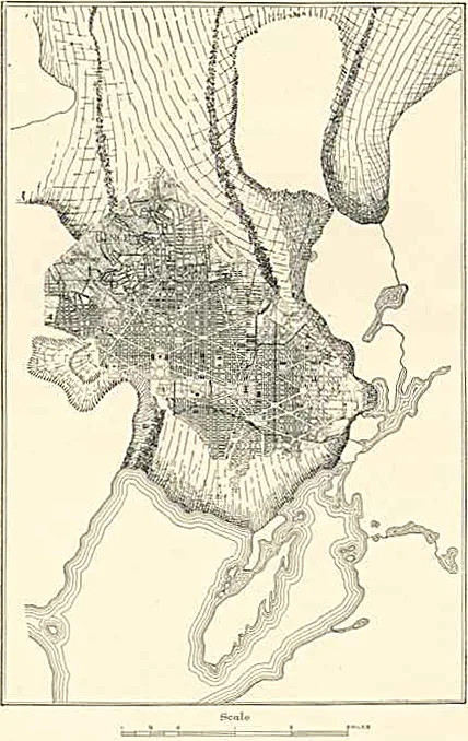
An illustration of Columbia Glacier in 1910, with the District of Columbia overlaid for scale comparisons
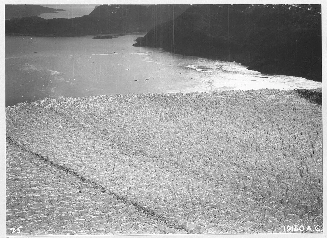
Alaska - Columbia Glacier - NARA - 23937601
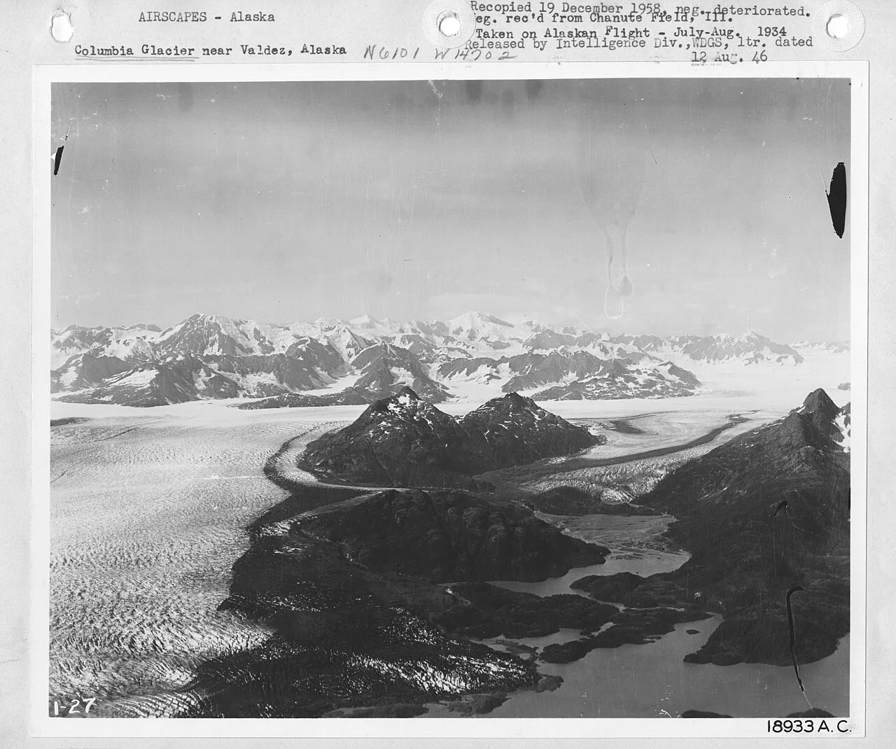
Alaska - Columbia Glacier - NARA - 23937603
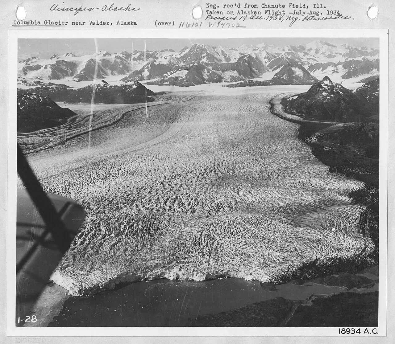
Alaska - Columbia Glacier - NARA - 23937605
Columbia Glacier (Alaska)
The Columbia Glacier is a fast-moving glacier in Prince William Sound on the south coast of the U.S. state of Alaska.
Ivy League Cartography in the Alaskan Wilderness
Wealthy explorers stamped prestigious academic names across the icy landscape of Prince William Sound. During the 1899 Harriman Alaska Expedition, the glacier was christened in honor of Columbia University alongside other college-named ice masses. Its primary branch emerges from high elevation, locked between Mount Witherspoon and Mount Einstein.
From Wikipedia · CC BY-SA 4.0
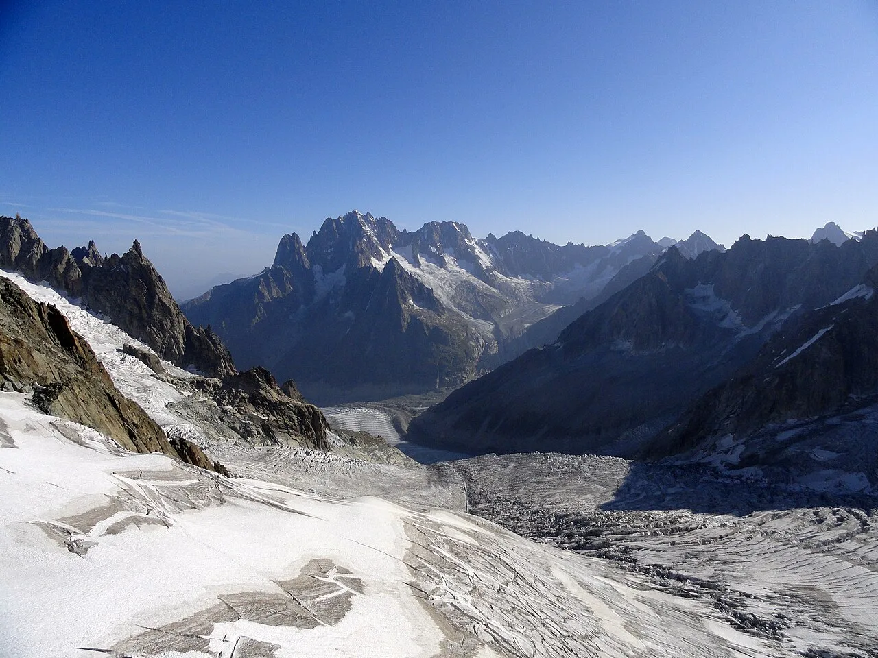
Mer de Glace 4
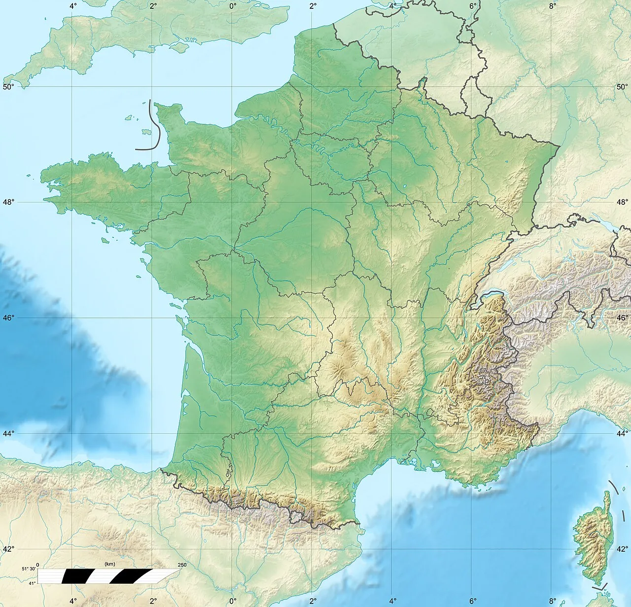
Mer de Glace is located in France
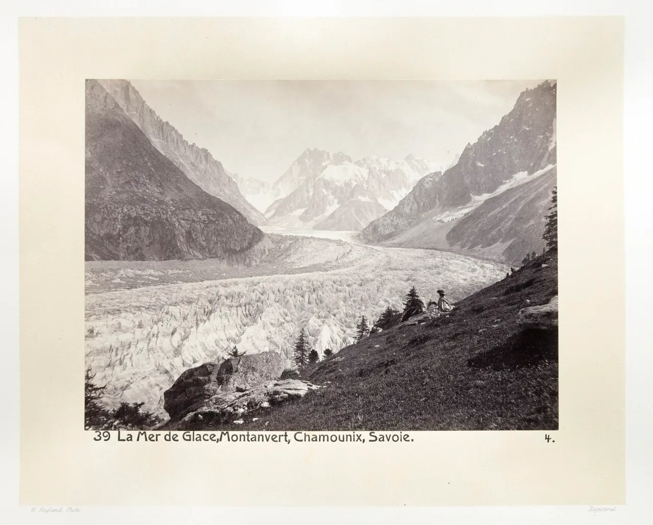
Mer de Glace, circa 1870
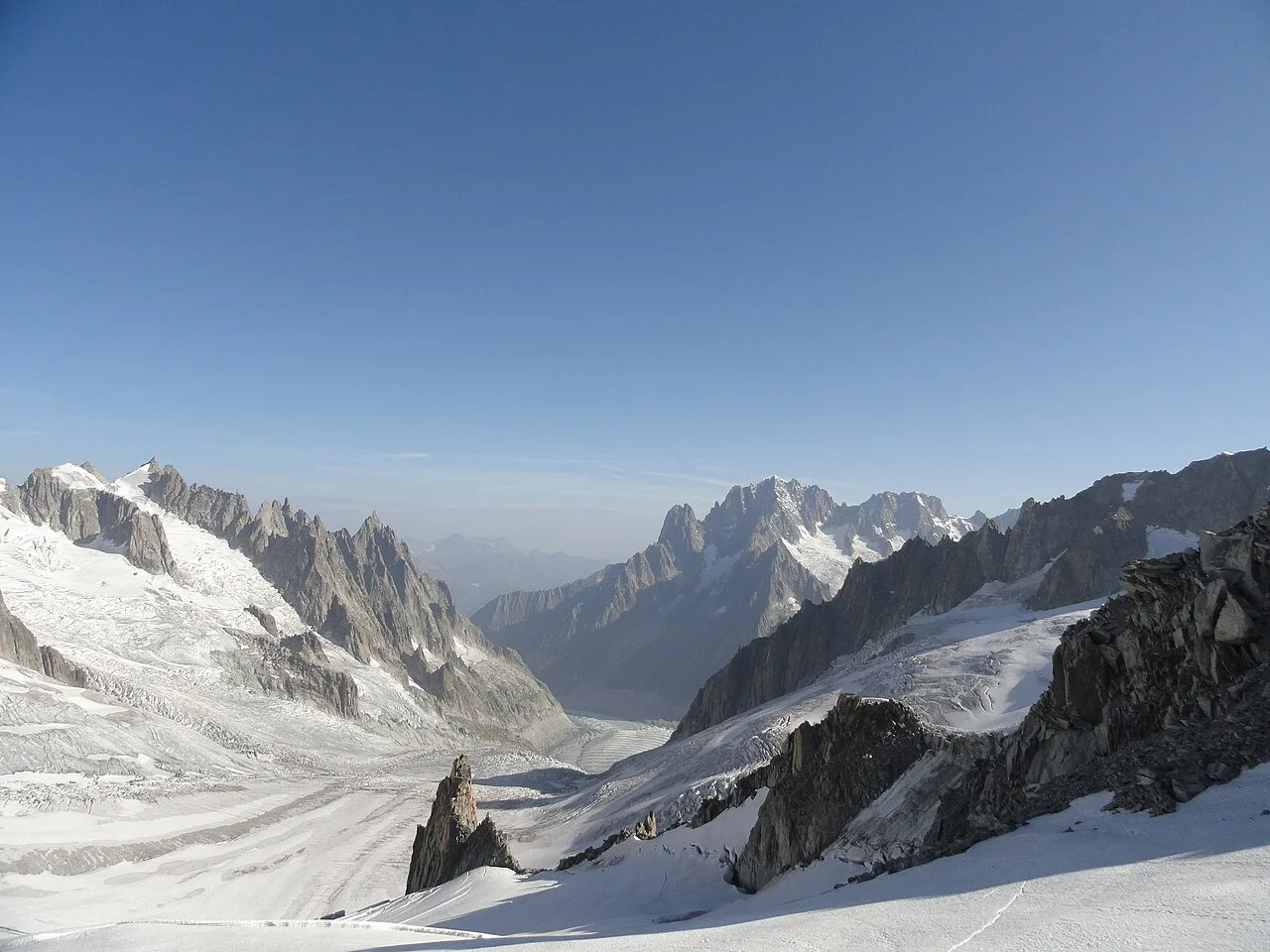
Mer de Glace, 2011
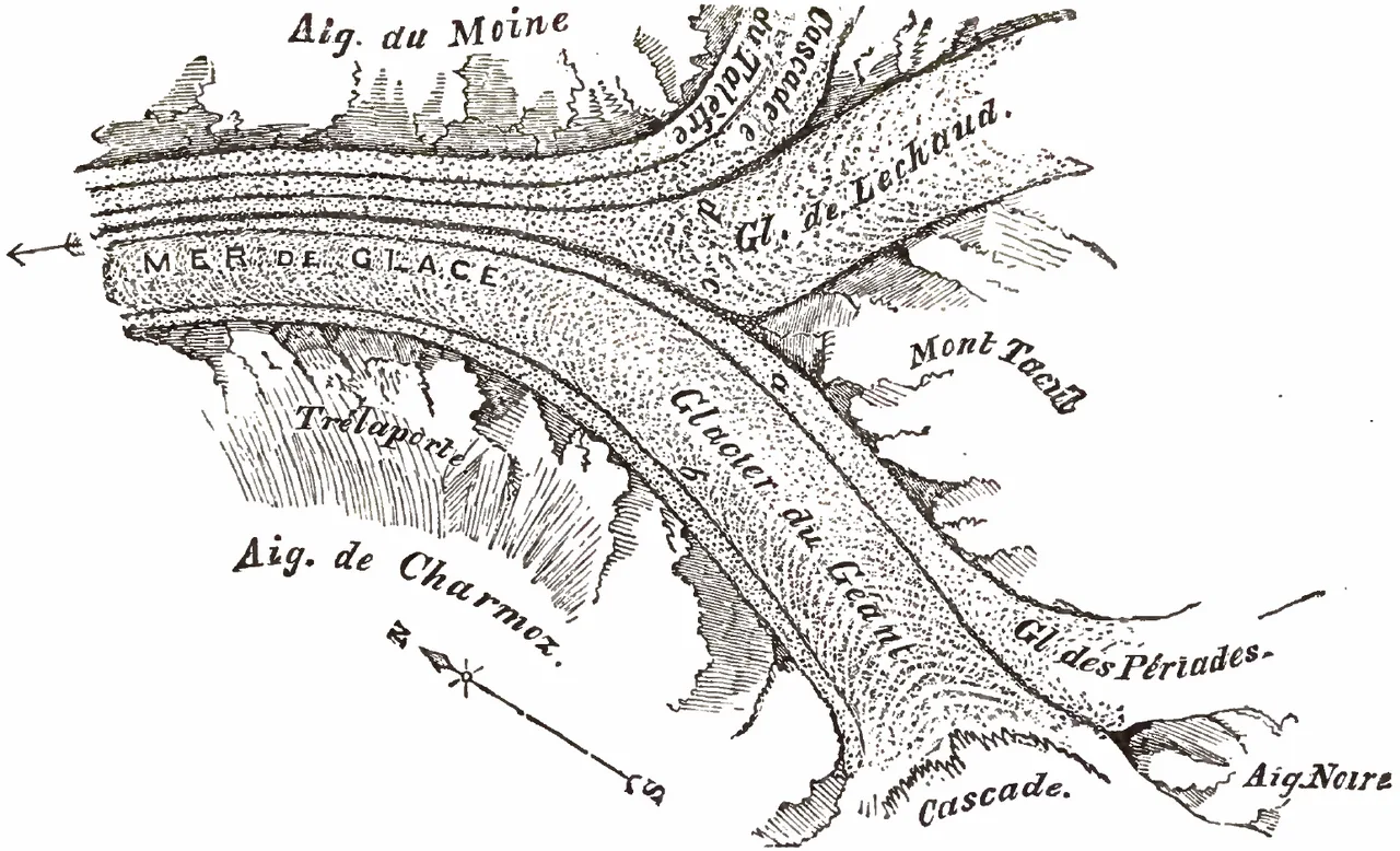
John Tyndall explored the glacial tributaries feeding Mer de Glace in 1857
Mer de Glace
The Mer de Glace is a valley glacier located on the northern slopes of the Mont Blanc massif, and the longest and largest glacier in France.
Deep Subterranean Pressures at the Confluence
Deep within the frozen mass, the ice sustains immense forces reaching at least 30 atmospheres. The Mer de Glace officially forms at an elevation of 2,100 metres just north of the Aiguille du Tacul through the meeting of the Glacier de Leschaux and Glacier du Tacul. This dynamic convergence continuously channels vast reservoirs of ice down from higher Alpine sectors into a massive moving river.
From Wikipedia · CC BY-SA 4.0
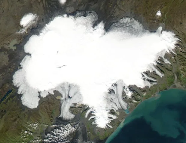
Vatnajökull
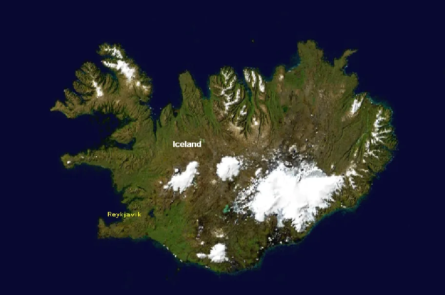
Iceland as seen from space, with Vatnajökull appearing as the largest white area to the lower right
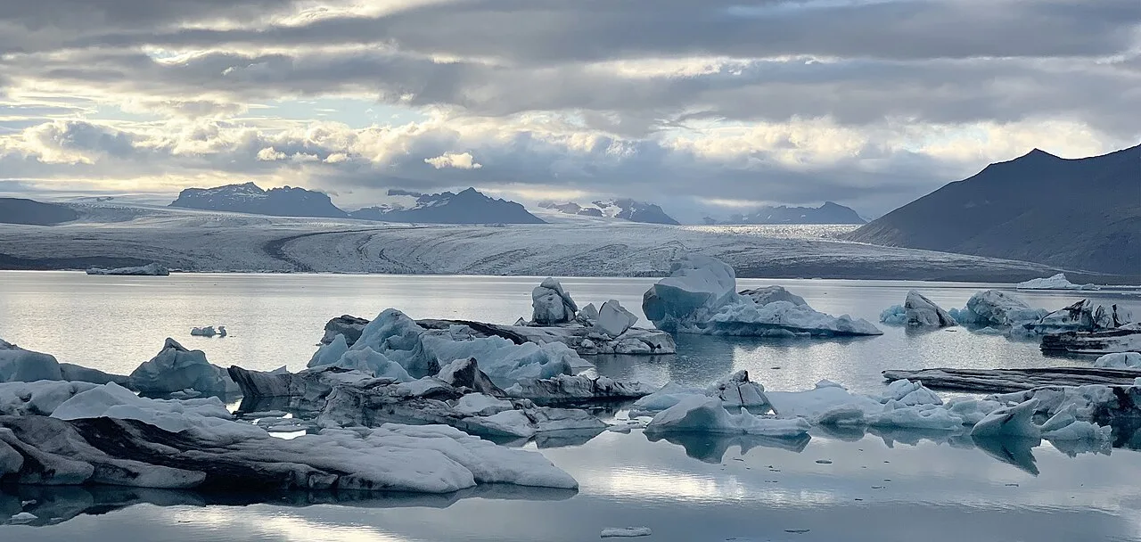
Ice lagoon at the foot of the Vatnajökull Glacier
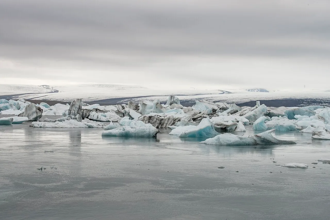
Vatnajökull Glacier in Iceland
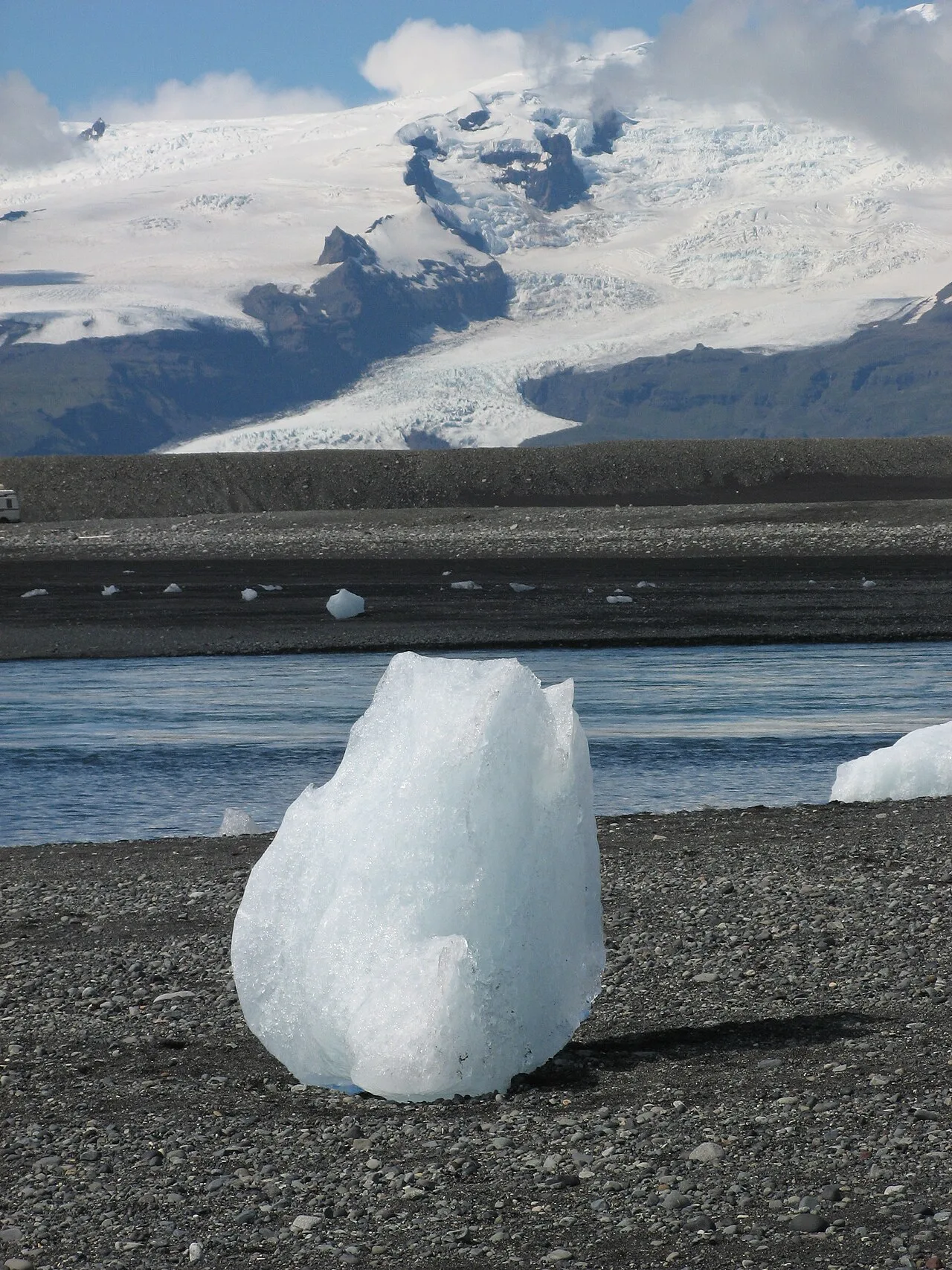
An iceberg with Öræfajökull (southernmost part of Vatnajökull) in the background. The icebergs in Jökulsárlón, as well as this one, have broken off Vatnajökull's outlet glaciers.
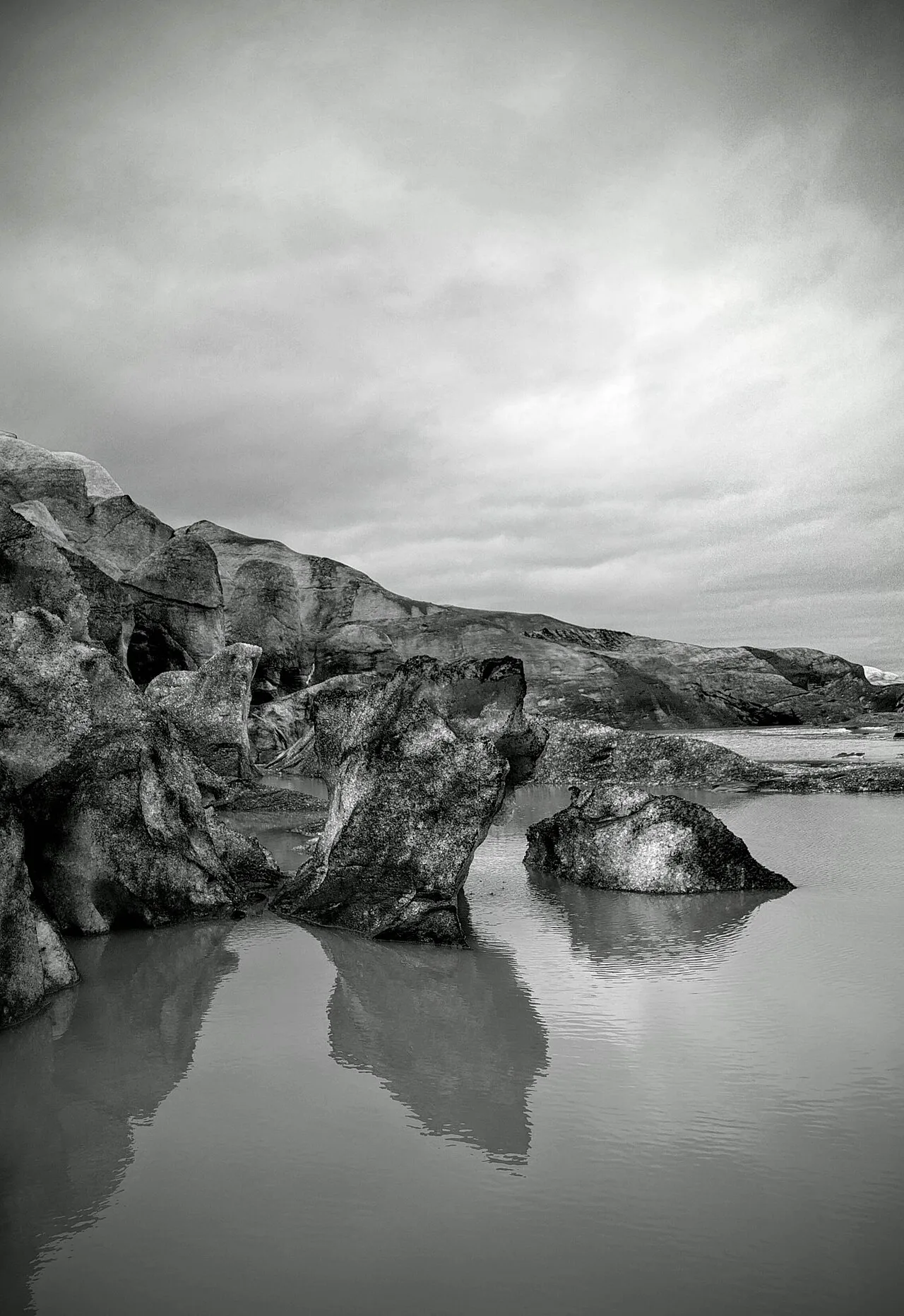
Fláajökull outlet glacier
Vatnajökull
Vatnajökull is the largest and most voluminous ice cap in Iceland and the second-largest by area in Europe.
Fire Trapped Beneath Kilometers of Ice
Vatnajökull sits directly atop a unique geological intersection between two tectonic plate boundaries and a deep mantle plume. This configuration drives glaciovolcanism, where active subglacial volcanoes heat the ice from below to form immense trapped reservoirs of meltwater. When these subterranean pockets breach their weakened icy barriers, they unleash massive glacial floods known as jökulhlaups.
From Wikipedia · CC BY-SA 4.0